
This is the second in my series of posts about cemeteries. The first was about Melbourne General Cemetery and can be found here. This time I’ll be discussing St Kilda Cemetery. St Kilda is a suburb in southern Melbourne and its cemetery is an an excellent example of Melbourne’s inner suburban cemeteries.
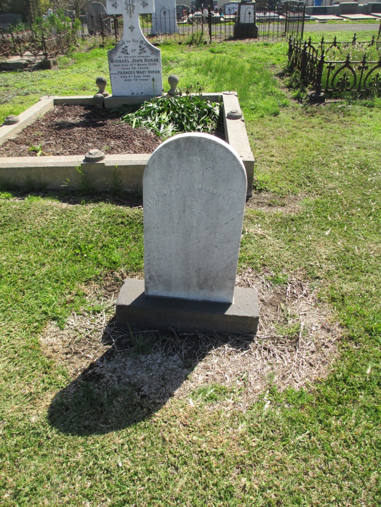
I’ve always found cemeteries interesting as a lens through which to view a city, or a town, and I’ve always found the history they so neatly incapsulate fascinating. St Kilda has a personal connection for me as well because there is a plot there in which several of my ancestors are buried. One of them, Robert Henry Woodward, was originally buried in Melbourne General Cemetery. The family believes, however, that he was moved to St Kilda to be with his wife Letitia at a later date. His grave at Melbourne General Cemetery is certainly unmarked.


The Woodward Graves.

Robert Henry Woodward and Letitia Woodward
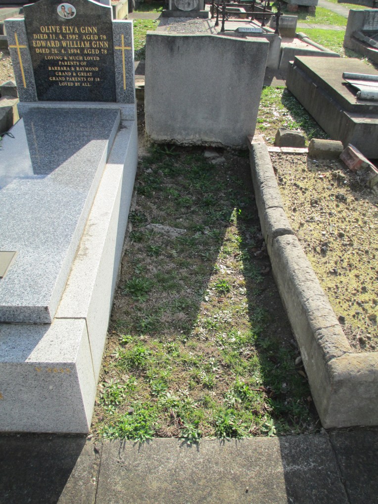 The site of Robert Henry Woodward’s original grave at Melbourne General Cemetery
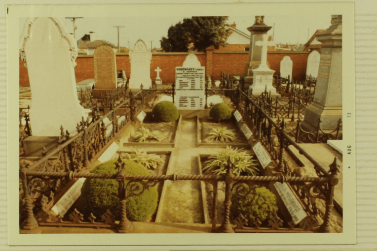
What the Woodward grave looked like in the 1970s. My extended family and I are in the process of restoring it somewhat.
Robert Henry was one of my first ancestors to come to Australia in the 1850s, and Letitia was born here in 1824 when her father was stationed in Sydney. So I was interested to see where they were buried.
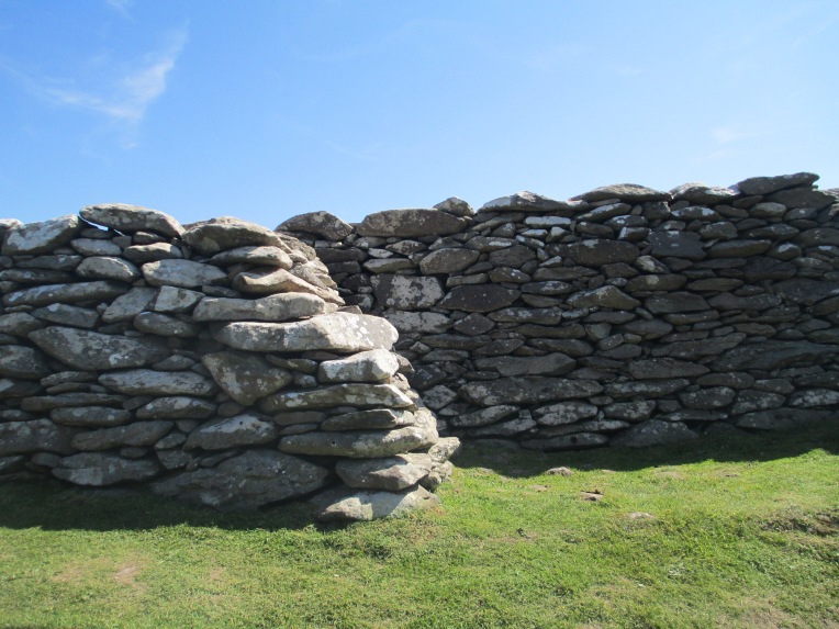
The cemetery itself also has a fascinating history. It was first laid out in 1851 by an assistant of Robert Hoddle, best known for laying out the grid of Melbourne’s CBD. It opened in 1855 and the brick wall enclosing it was added in c. 1883.

The walls of the Cemetery
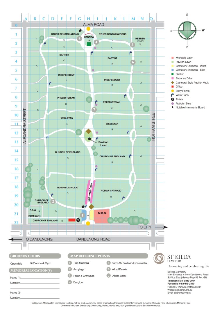
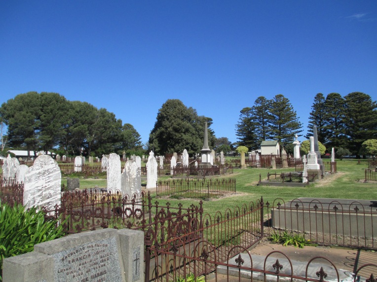
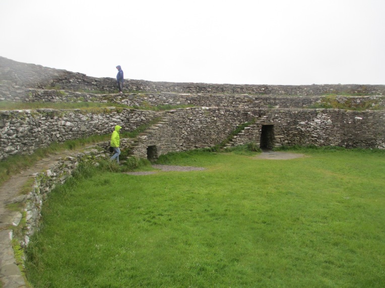
The cemetery covers 18 acres and contains approximately 53 000 burials. St Kilda has been a desirable place to live for over a hundred years and as urban sprawl in Melbourne has increased there have been several attempts to have the cemetery closed. Fortunately none have been successful. The cemetery is laid out in religious denominations as can be seen in the map below.
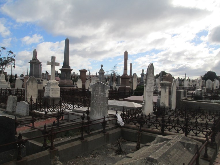
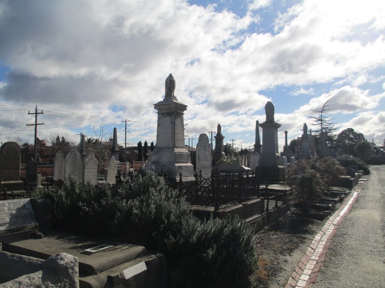
Although in comparison to Melbourne General Cemetery St Kilda is quite small, it is still large for a suburban cemetery. It certainly feels vast when you step inside, as you can see from the photos below.
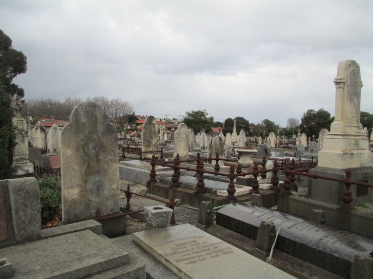

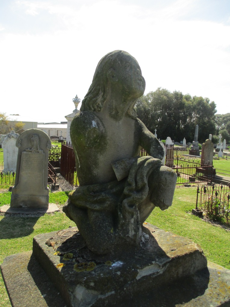
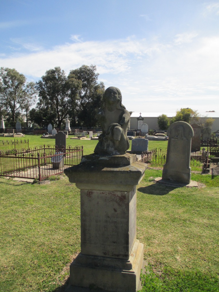
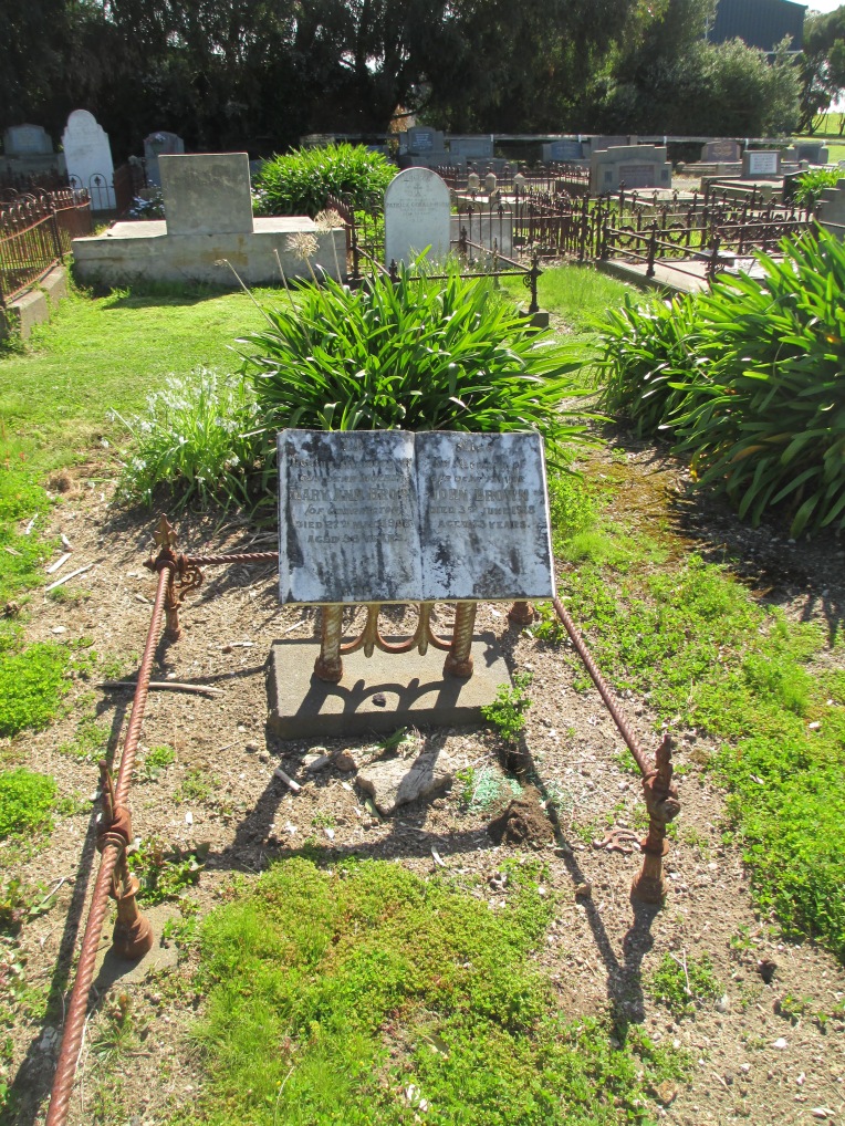
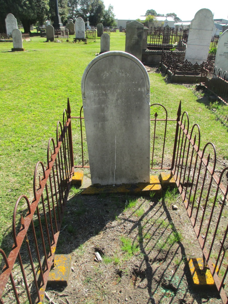
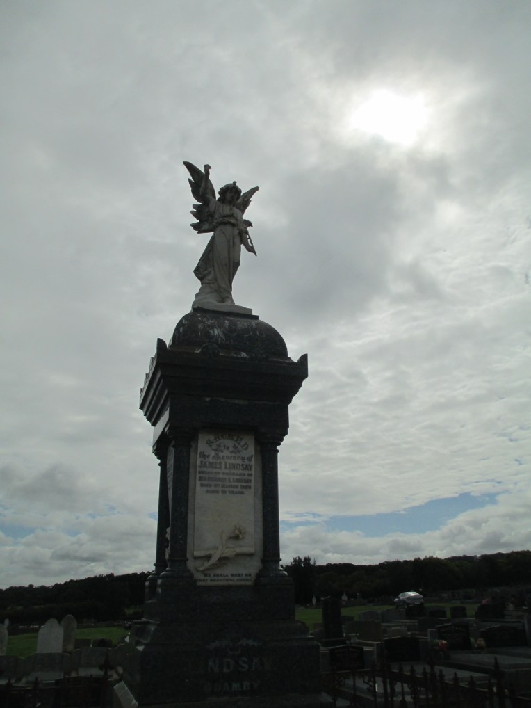
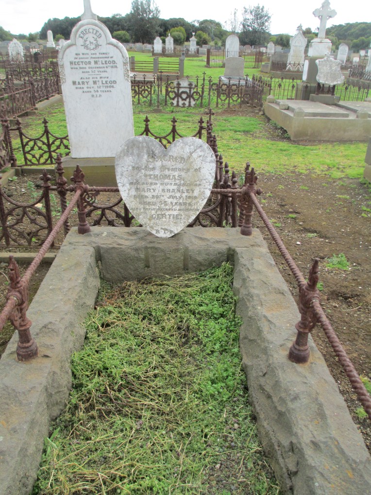
St Kilda also houses many beautiful funerary monuments. A number of which can be seen below.
Urns


Religious Figures
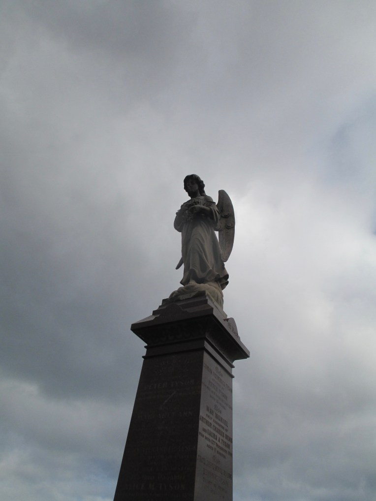
Angels
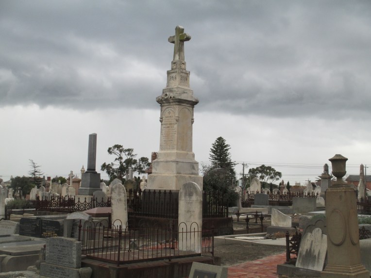

Crosses

Scrolls
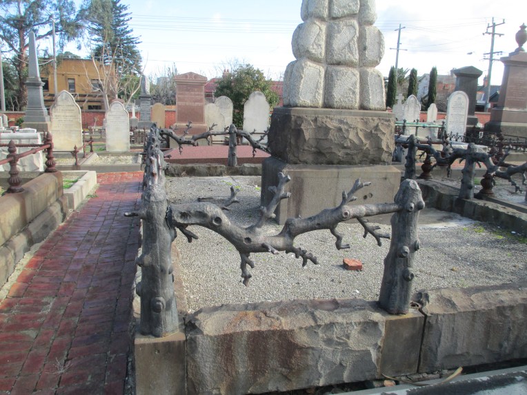
Ornate fences.
There are also memorials to a number of well known people in St Kilda Cemetery.
I don’t feel it is necessary to go into the history of each of them, but I would like to discuss one in particular. Ferdinand Von Mueller, best known in Melbourne as the Director of the Royal Melbourne Botanic Gardens from 1857-1873.

Von Mueller
http://adb.anu.edu.au/biography/mueller-sir-ferdinand-jakob-heinrich-von-4266
His memorial can be seen below.

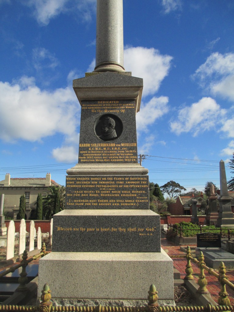

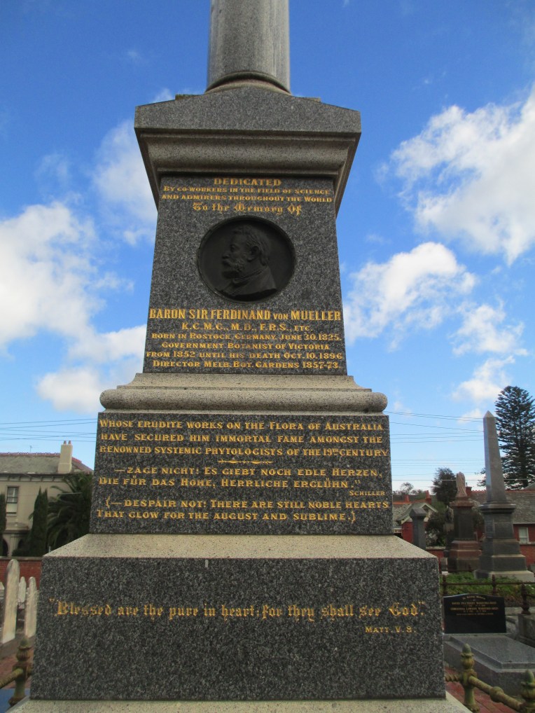
Von Mueller was born in 1825 in Rostock in Mecklenburg-Schwerin in what is now Germany. He trained as a pharmacist, but specialised in botany as part of his degree. He came to Australia in 1847 with his two remaining sisters, seeking a warmer climate for his sister’s health. He began his time in Australia in Adelaide, where he investigated the local flora as well as working as a pharmacist. He came to Melbourne in 1852 when Governor Latrobe appointed him Government Botanist. In Melbourne Von Mueller began collecting specimens of the local indigenous flora. He was instrumental in cataloguing Victorian and in fact Australian flora, adding new genera and greatly expanding exisiting knowledge. He travelled a great deal within Australia and was at the heart of bringing together isolated information from disparate sources on indigenous flora.
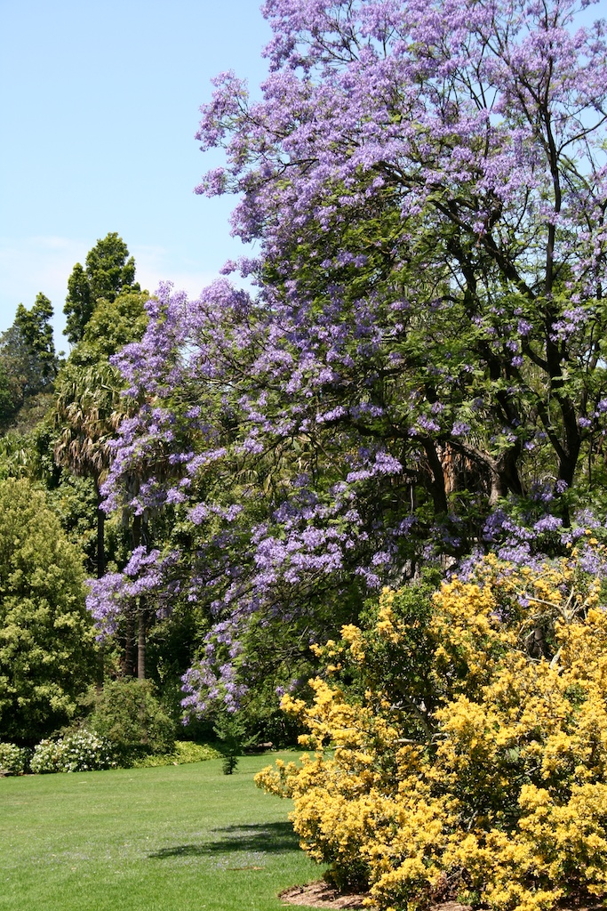
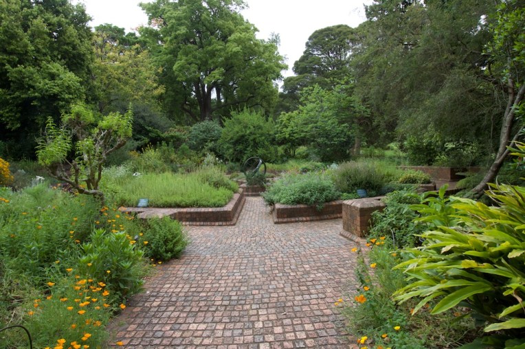
When he was appointed director of the Melbourne Botanic Gardens in 1857 he immediately arranged to have the herbarium built, added his own extensive collection of specimens and began collecting seeds and plants from all over Australia as well as internationally. In the herbarium he built what is now one of Australia’s most important dried plant, algae and fungi collections. Under his stewardship the gardens began to build towards the magnificence which you see today. They can be seen in the photos below.


Children’s garden Melbourne Botanic Gardens
 Herb Garden Melbourne Botanic Gardens.
Along with the Melbourne Botanic Gardens Von Mueller played a role in the establishment of some of Victoria’s numerous rural botanic gardens. For example when the gardens in Hamilton were established in 1870 Von Mueller supplied 450 shrubs and trees, providing the start of planting for the garden. The tree below is possibly one of the ones he sent.

Von Mueller was also one of the first to recognise the importance of the native forests of Victoria and campaigned against indiscriminate clearing. Sadly there began to be complaints about Von Mueller’s management of the gardens in around 1868. There seemed to be the feeling that he was focusing too much on the plants and not enough on the beautification of the gardens. Complaints were along the lines of “‘no foundations exist … neither are statues erected … works of art we can call forth at pleasure, while time lost in forming the plantations cannot be regained”[1] He stoutly defended what he saw as the object of a botanic garden, saying in an 1871 lecture
“that from the early transcendental days of Greece up to the most recent decennia all institutions designated as botanic gardens were mainly or exclusively devoted to the rearing of such plants as were adopted for medicine, for alimentary or industrial purposes; and it would be little short of relapsing into barbarism, were we to alienate any such institutions of ours entirely from their legitimate purpose.”
He continued
“The objects of a botanic garden must necessarily be multifarious, nor need they be, in all instances, precisely the same; they may be essentially modified by particular circumstances and local requirements, yet, in all cases, the objects must be mainly scientific and predominently instructive. As an universal rule, it is primarily the aim of such an institution to bring together with its available means the greatest possible number of select plants from all the different parts of the globe; and this is done to utilise them for easy public inspection, to arrange them in their impressive living forms, for systematic, geographic, medical, technical or economic information, and to render them extensively accessible for original observations and careful records. By these means, not only the knowledge of plants in all its branches is to be advanced through local independent researches, conducted in a real spirit of science, but also phytologic instruction is to be diffused to the widest extent; while simultaneously, by the introduction of novel utilitarian species, local industries are to be extended, or new resources to be originated; and, further, it is an aim to excite thereby a due interest in the general study and ample utilisation of any living forms of vegetation, or of important substances derived there from. All other objects are secondary, or the institution ceases to be a real garden of science.”[2]
Unfortunately he was not successful in his arguments as he was replaced as director in 1873. He remained Government Botanist, but he was so upset by his dismissal from the gardens that it is said that he never set foot in them again. Von Mueller was a dedicated worker, writing over 3000 letters a year, publishing over 800 papers as well as a number of books. By the time he died in 1896 he was largely responsible for the international recognition that was given to Australian scientific endeavour. His work was also of the quality and magnitude that much of it has still not been superseded. He is to me one of the most fascinating people with a memorial in St Kilda cemetery.
St Kilda Cemetery as a repository of history has many more stories to tell apart from Von Mueller’s and the Friends of St Kilda Cemetery do run regular tours. Information can be found here.
St Kilda, like other cemeteries, is a fantastic place not just for its own history but also for the survival of the stories of the people who are buried there. It also creates an area of community space in a tightly urban precinct. It is well worth a visit if you are ever in the area. Cemeteries, like St Kilda, are a vital part of the community.
The photos are all mine apart from the photo of Von Mueller from the Dictionary of Biography and the Botanic Gardens and Hamilton Gardens pictures which were kindly provided by garden writer and photographer Penny Woodward.
For more information on St Kilda Cemetery see:
http://stk.smct.org.au/our-history/
For more on Von Mueller see:
http://adb.anu.edu.au/biography/mueller-sir-ferdinand-jakob-heinrich-von-4266
https://www.rbg.vic.gov.au/about-us/our-story
For the entirety of his speech in 1871 in defence of Botanic Gardens see
http://nzetc.victoria.ac.nz/tm/scholarly/tei-Stout33-t4-body-d9.html
[1] http://adb.anu.edu.au/biography/mueller-sir-ferdinand-jakob-heinrich-von-4266
[2] http://nzetc.victoria.ac.nz/tm/scholarly/tei-Stout33-t4-body-d9.html


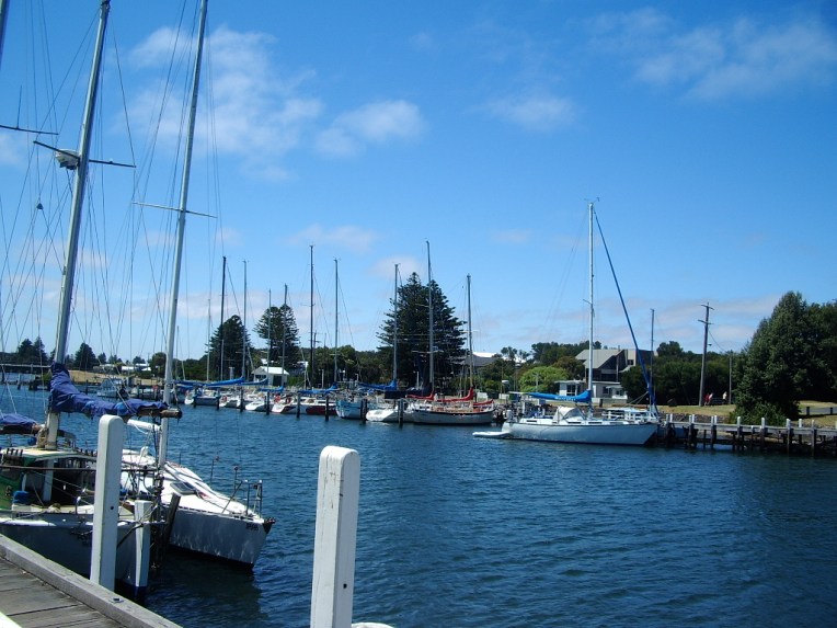
 Port Fairy is a town in Western Victoria that was founded as a town in 1843. There were settlers in the area before this date, and the current name for the town comes from the ship the Fairy which is believed to have arrived in the area in c.1828. The area was also regularly visited by whalers and sealers. The date of 1843 comes from the special survey which was granted to James Atkinson at that time. The special surveys were a system where the government of the Colony of New South Wales was able to control ownership of the land in the Port Phillip District. This was well before federation of Australia as a country in 1901, but also before Victoria became a colony independent from New South Wales which happened in 1851. The basic premise behind the special survey system was to stop squatters just claiming land, because when they did there was little ability to regulate it and there was no fee for the government.
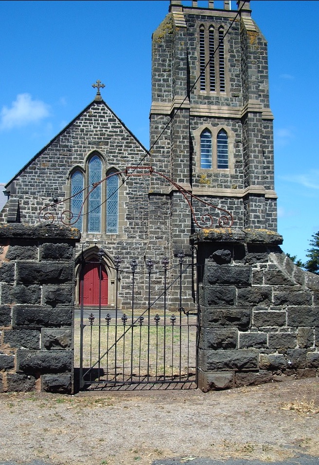
 He died in 1862 at the age of 40 and the tomb reads:
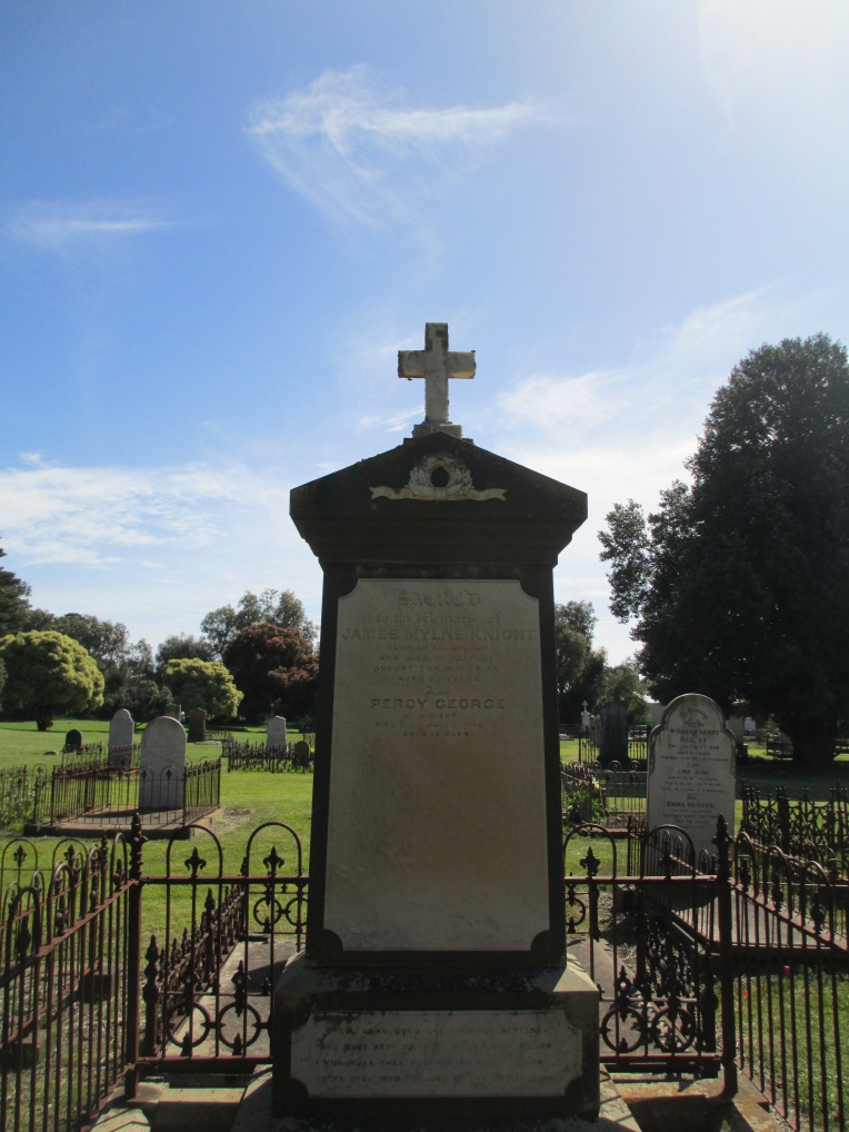

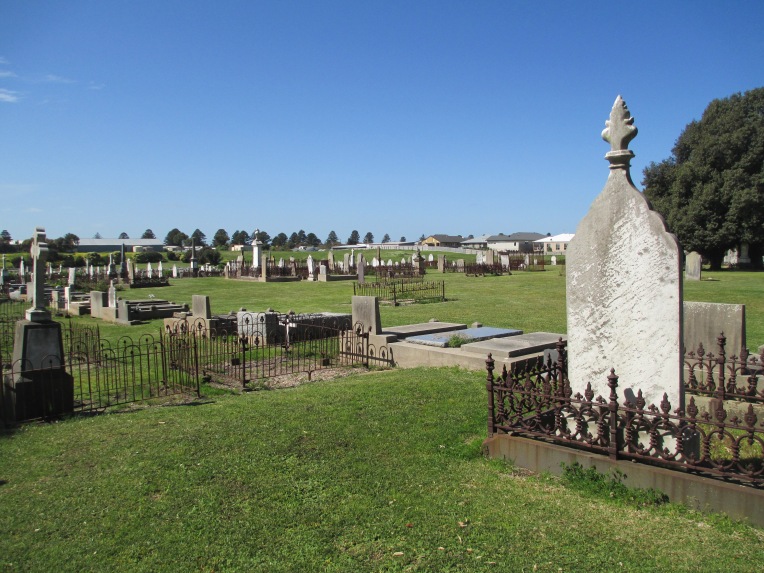
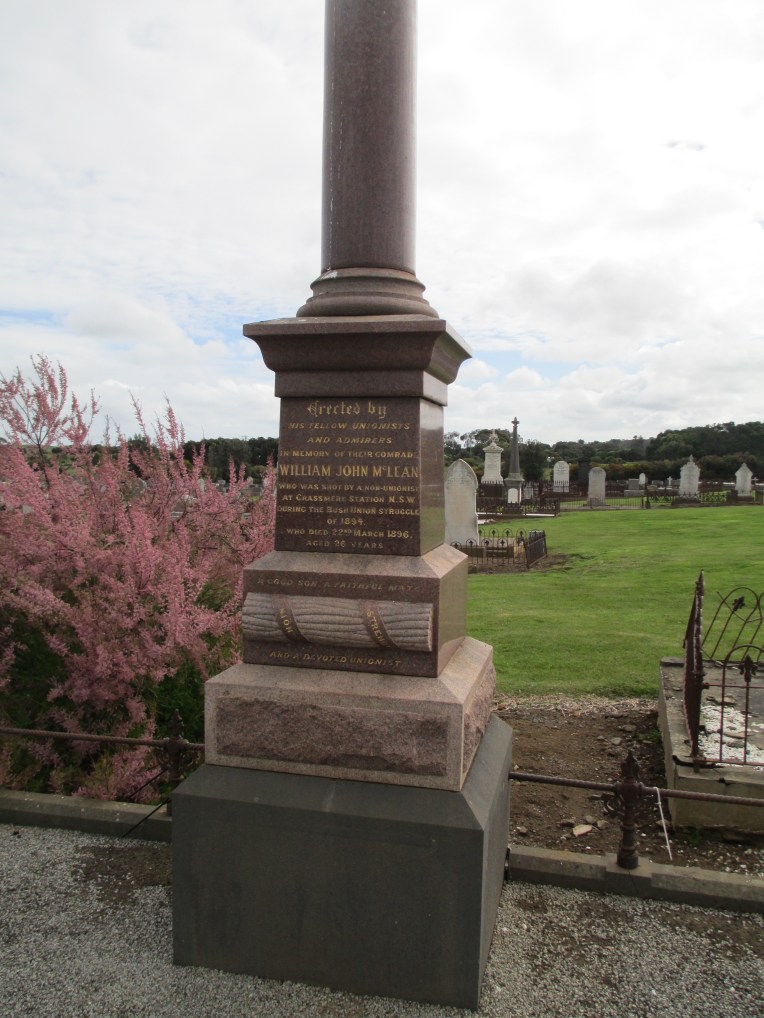
 There are more people buried in the cemetery than are known about. Many of the early burials would have been laid to rest under simple wood crosses and these simply wouldn’t have survived the harshness of Port Fairy’s coastal weather. Despite this, the surviving burials provide a fascinating record of the life and death of the early inhabitants of the district.
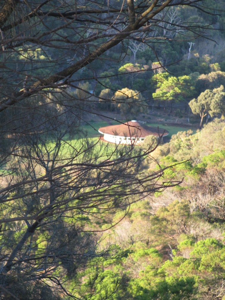
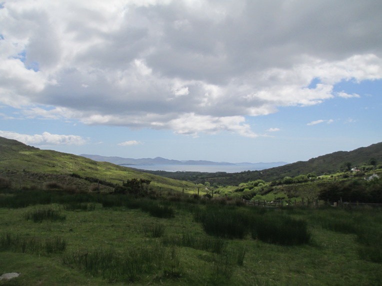
 Tower Hill itself is a former volcano not far from Port Fairy and about 3 hours drive west of Melbourne. You can see the view looking over the remains of the Tower Hill crater and looking out towards the sea from the top of Tower Hill in the photos below.
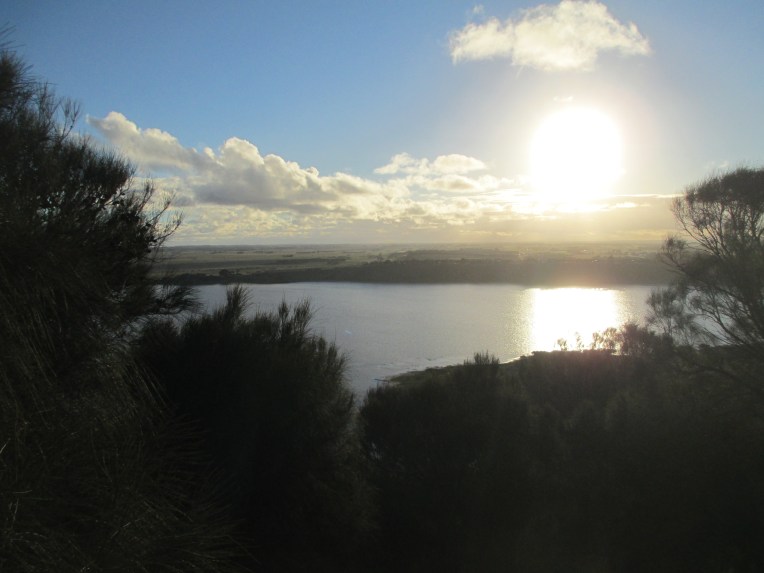


 The epitaph reads

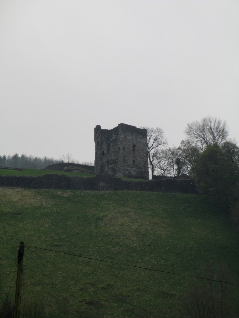

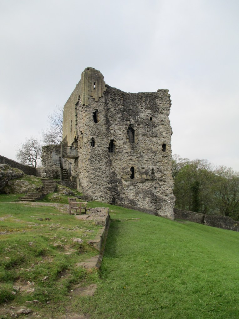


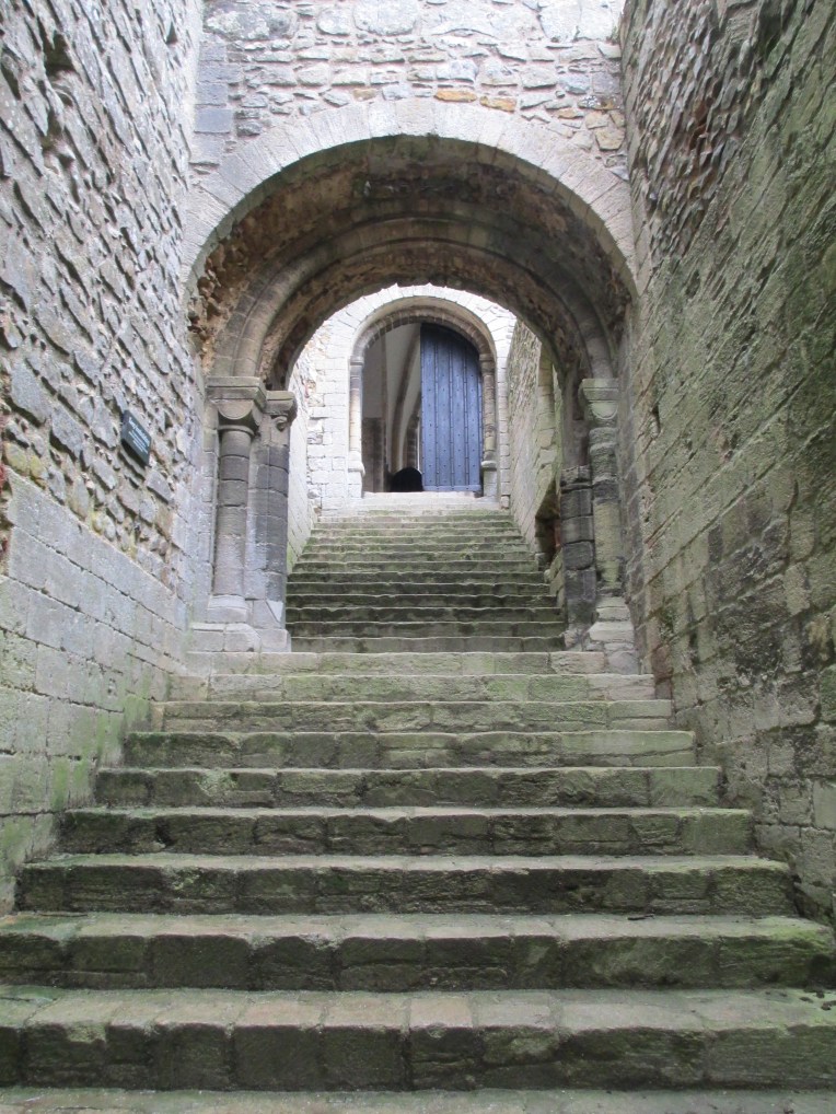
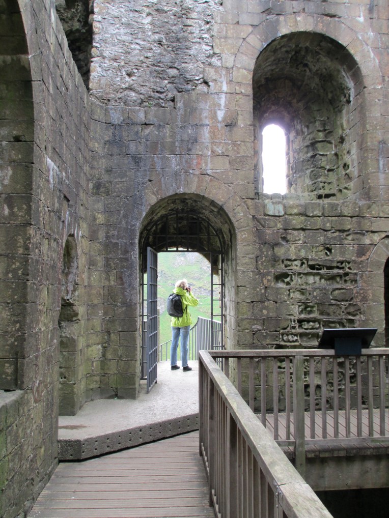
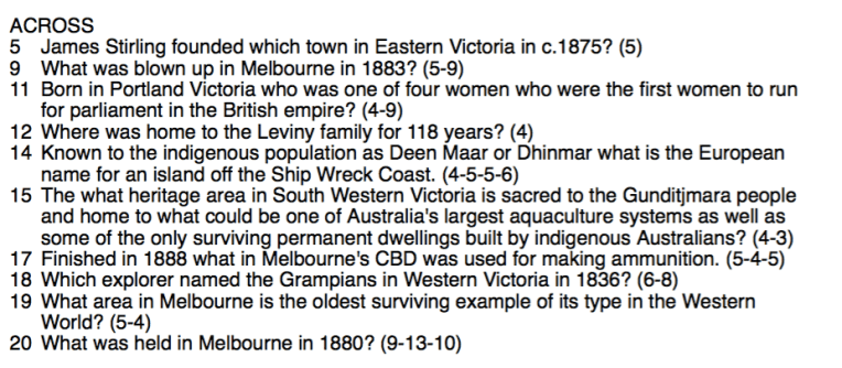
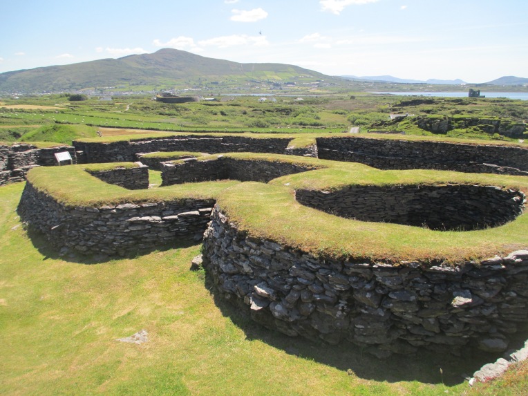
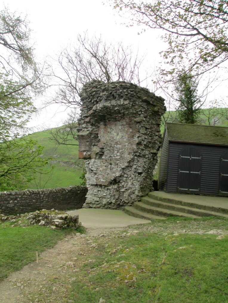 This path is most likely the route through which Peveril would have been accessed for the majority of its existence. It is very steep but it would have just about been accessible to horses. Upon entrance to the castle precinct it is the keep which immediately dominates the view.


 Answer: Wilson’s Promontory
 Answer: 1901 . The picture is Tom Robert’s painting of the opening of Australia’s first parliament in May 1901. For more information


 Answer: Magnetic Island.
 Answer: Cheviot Beach 1967. For more information
  Answer: The Loch Ard. The photo is of Loch Ard Gorge. For more information
  Answer: Major Thomas Mitchell. For more information
  Answer: Somers. The photo is of Somers’ beach.
