Dylan of the wave

This is a slight departure for Historical Ragbag, as I’ll be looking at a mythical figure. But it still involves research and a good story so I decided it still fit.

In researching for my novel, it’s contemporary and with merpeople but based on Welsh history and mythology, I came across a figure who gets one tantalising mention in the Mabinogion. Dylan of the Wave. The Mabinogion is a series of Welsh stories that are the foundation of much Welsh mythology. I won’t go into great detail about them here, because that is a post in and of itself, but they’re well worth a read if you get the chance. In many ways they’re even more off the wall than Greek mythology, and you can see how much some of them have seeped through into Western concepts of folklore and fairytales. You can read a free version at Project Gutenberg here but I read was the Oxford edition. You can see it in the references at the end.

Anyway, who is Dylan and why did he catch my attention?

To answer that we need to look at the Fourth Branch of the Mabinogion.

The Fourth Branch is broadly the story of Math son of Mathonwy. Math is the Lord of all Gwynedd (Northern Wales today). I’ll provide a brief summary of the story as a background. There will be bits that seem like leaps in logic and that’s because they are. You have to remember that this is a medieval text and the medieval mindset can seem impenetrable to us. This isn’t an overhang of a lost pre-christian mythology, the Mabinogion is very much a Christian text and of its time.

The story kicks off with Math’s nephew Gilfaethwy in love with Math’s foot-maiden Goewin who Math won’t part with. Gilfaethwy is concerned because Math can hear everything that’s said. Math’s other nephew Gwydion (who is a magician) suggests starting a war with Powys and Deheubarth (both kingdoms in Southern Wales) so Gilfaethwy can have Goewin. There’s magical pigs involved, but a war is started and while Math is away Gilfaethwy rapes Goewin in Math’s bed.

When Math returns he discovers the rape because he can only place his feet in the lap of a virgin and Goewin is no longer one. She tells Math of Gilfaethwy’s actions. Math changes Gilfaethwy and Gwydion into a hind and a stag and binds them to mate with each other and take on the nature of the two animals for a year. At the end of the year the hind and stag return with a fawn, Math changes them into a boar and a sow and sends them out again (though he fosters the boy who had been a fawn). At the end of another year the sow and the boar are back with a young one. Math then changes them into a wolf and a she-wolf and sends them out again. Again he fosters the boy who had been the piglet. At the end of that year the wolf and she-wolf return with a cub. Math considers his nephews punished enough and restores them to men, telling them of their fine sons.

Math then asks his nephews about finding another virgin to be his foot-maiden and they suggest their sister Arianrhod. Math uses his magic to test Arianrhod’s virginity and as she steps over Math’s magic wand a large sturdy yellow haired boy drops from her, Arianrhod gives a cry and runs away but as she does something small falls from her and Gwydion gathers it in brocade and hides it in a small chest at the foot of his bed. Math take the yellow haired boy and says “I will have this one baptised. I will call him Dylan.” And he is baptised.

The Mabinogion goes on to say

As soon as he was baptised he made for the sea. And there and then, as soon as he came to the sea, he took on the sea’s nature and swam as well as the best fish in the sea. Because of this he was known as Dylan Eil Ton- no wave ever broke beneath him. The blow which killed him was struck by Gofannon, his uncle and it was one of the Three Unfortunate Blows.

This is the introduction of Dylan of the Wave.

The Fourth Branch of the Mabinogion continues with the scrap in the chest – who turns out to be a child who came to be called (after some trickery) Lleu Llaw Gyffes and Gwydion who helps him overcome various obstacles including making a wife for him out of flowers- Blodeuwedd (who gets a very unfair hand and who I’ll write something about later). But this is the only mention of Dylan in the whole of the Fourth Branch.

So why did this get me interested? Firstly because the book I’m working on is about mer people and the sea, so having a Welsh mythological figure tied to the sea so explicitly was very useful from a narrative perspective. Secondly, because in a panoply of the extraordinary Dylan sort of pops up and vanishes again, and some quick Googling doesn’t turn up masses. So I did some more digging. I started with the Three Unfortunate Blows.

This is a triad. Triad’s are a key to mythology. I’m still getting my head around them, but essentially they are circumstances or thematic instances that come in threes. They can be found throughout Welsh folklore and belief systems, as well as legal codes. They are also often reflected in bardic works and poetry, including the metre of some poetry. They are found in several surviving Welsh manuscripts and referenced in most Welsh mythology, often the same ones, they are cross referential. A good example are the three arrogant men of the island of Britain: Sawyl High Head, Pasgen son of Urien and Rhun son of Einiawn. So in the case of Dylan what were the Three Unfortunate Blows? I spent quite a bit of time trying to find the listing for them, but then worked out that unfortunately they are one of the lost triads. This means that all that has survived is mentions of them, rather than the triads themselves. One of these mentions is from the Book of Taliesin which refers to Dylan’s end, and tells us a bit more about Dylan himself as well as Gofannon who struck the blow. It’s called the Elegy of Dylan, Son of the Sea:

“One highest God, wisest of sages, greatest in might –

Who was it held the metal, who forged its hot blows?

And before him, who held still the force of the tongs?

The horsemaster stares – he has done lethal hurt, a deed of

outrage,

Striking down Dylan on the fatal strand, violence on the

shore’s waters,

The wave from Ireland, the wave from Manaw, the wave from the North,

And fourth, the wave of Britain of the shining armies.

I plead with God, God and Father of the Kingdom that knows no refusal,

The maker of Heaven, who will welcome us in his mercy.


The details about Gofannnon that the Elegy is alluding to are that Gofannon was a smith endowed with supernatural powers. Again another character embedded in a the broader mythological landscape.

This isn’t Dylan’s only mention in the The Book of Taliesin. He’s also referenced in the legendary dramatic poem The Battle of the Trees. Which is worth reading in its own right as it (at face value) tells the story of Gwydion animating the trees of a forest to fight for him. It also covers Taliesin’s creation, and this is where the line about Dylan appears. The line is a short one “I was in the citadel with Dylan, Son of the Sea.”

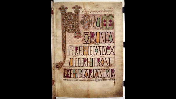
The Book of Taliesin is itself an astounding survival. It’s a manuscript dating from the first half of the fourteenth century and is a collection of poems and similar works supposedly by or about the great bard Taliesin. It’s arguable if Taliesin was a real person or not but he is the greatest of the Welsh bards, and could be a conflation of a real person from the 6th century with a mythological figure.

But, to not sidetrack myself (or not too much anyway). The Elegy presents Dylan as someone worth having an elegy written about. It and the line in The Battle of the Trees also situates him as an important being in Welsh mythology and belief, someone who appears in more than one text and someone who was well enough known to be understood from just one line.

Dylan also appears briefly in the Black Book of Camarthan too (another amazing medieval survival) where his grave is mentioned as “Where the wave makes a noise, the grave of Dylan is at Llanfeuno.” This is probably a peninsula in South Wales.

These are not the only mentions of Dylan in Welsh texts, but they give the context.

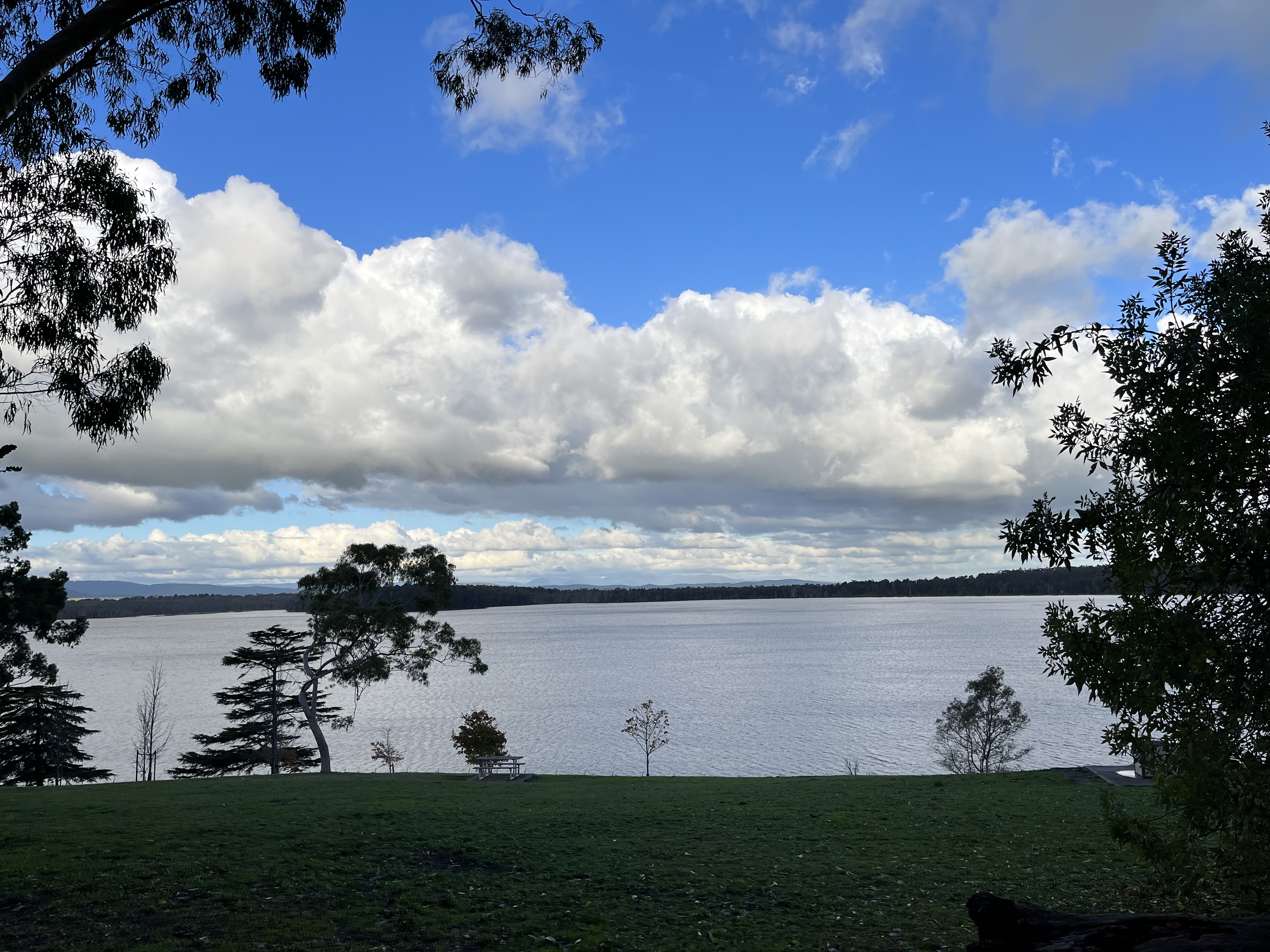
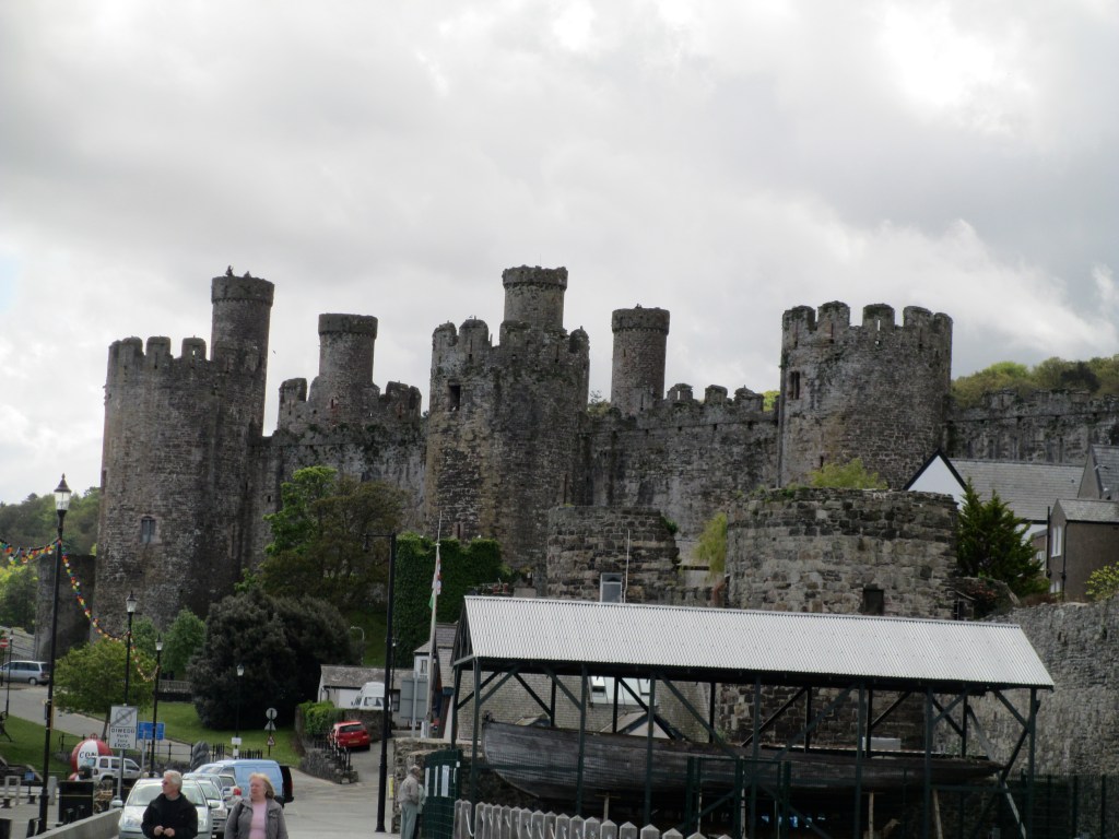
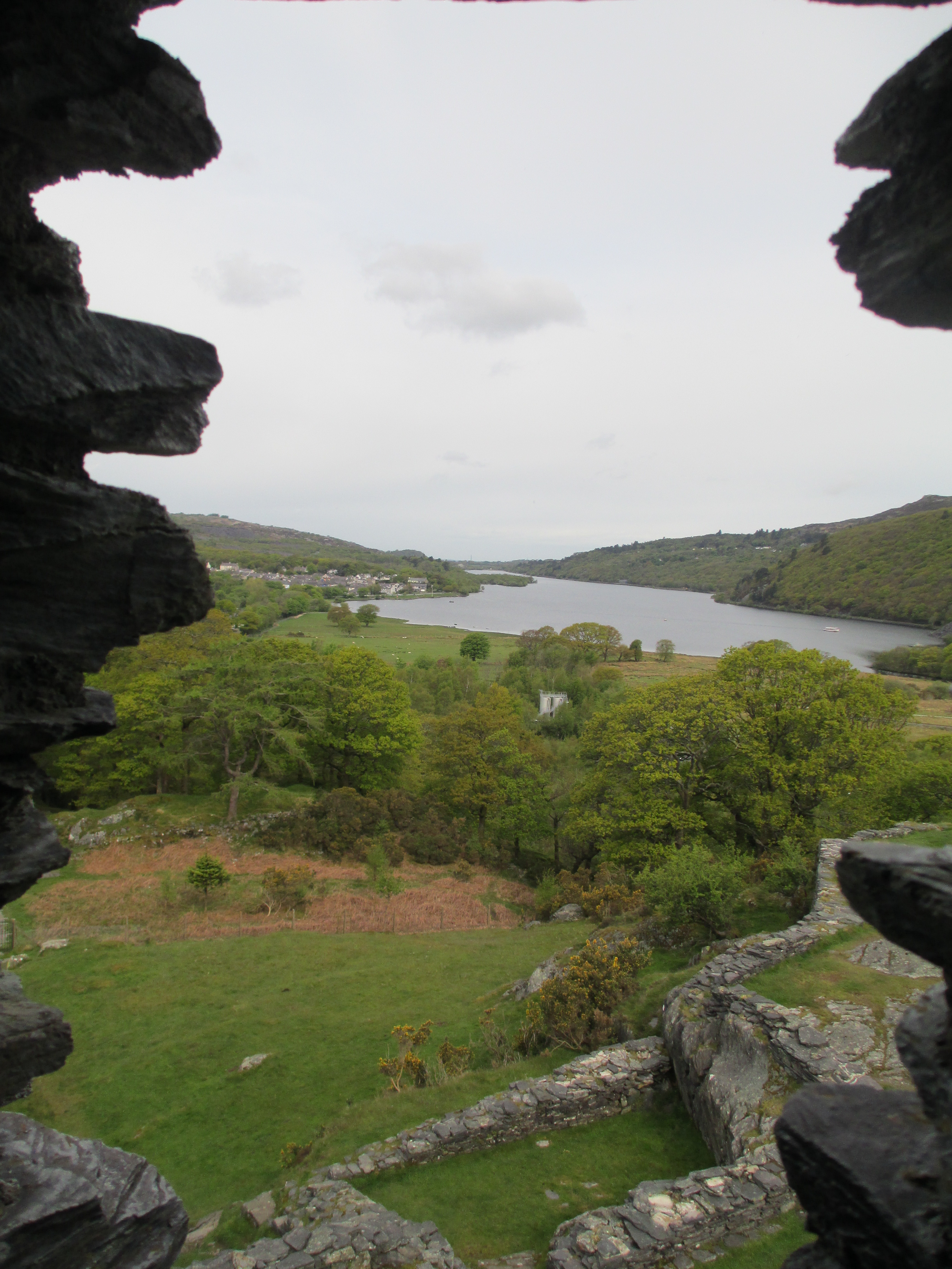
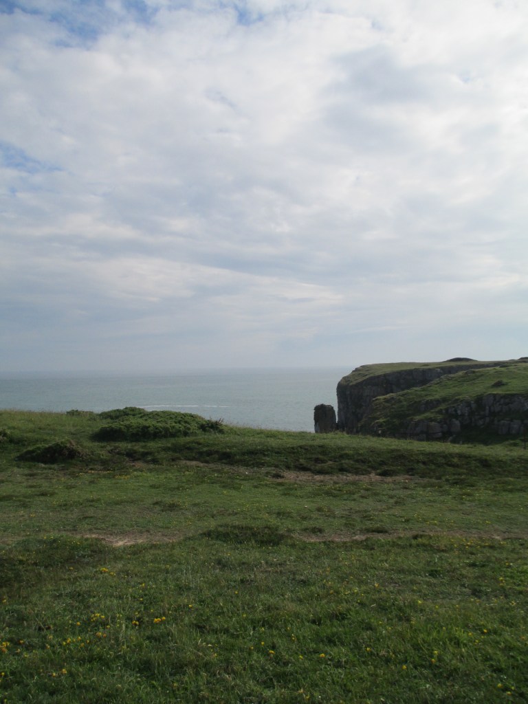
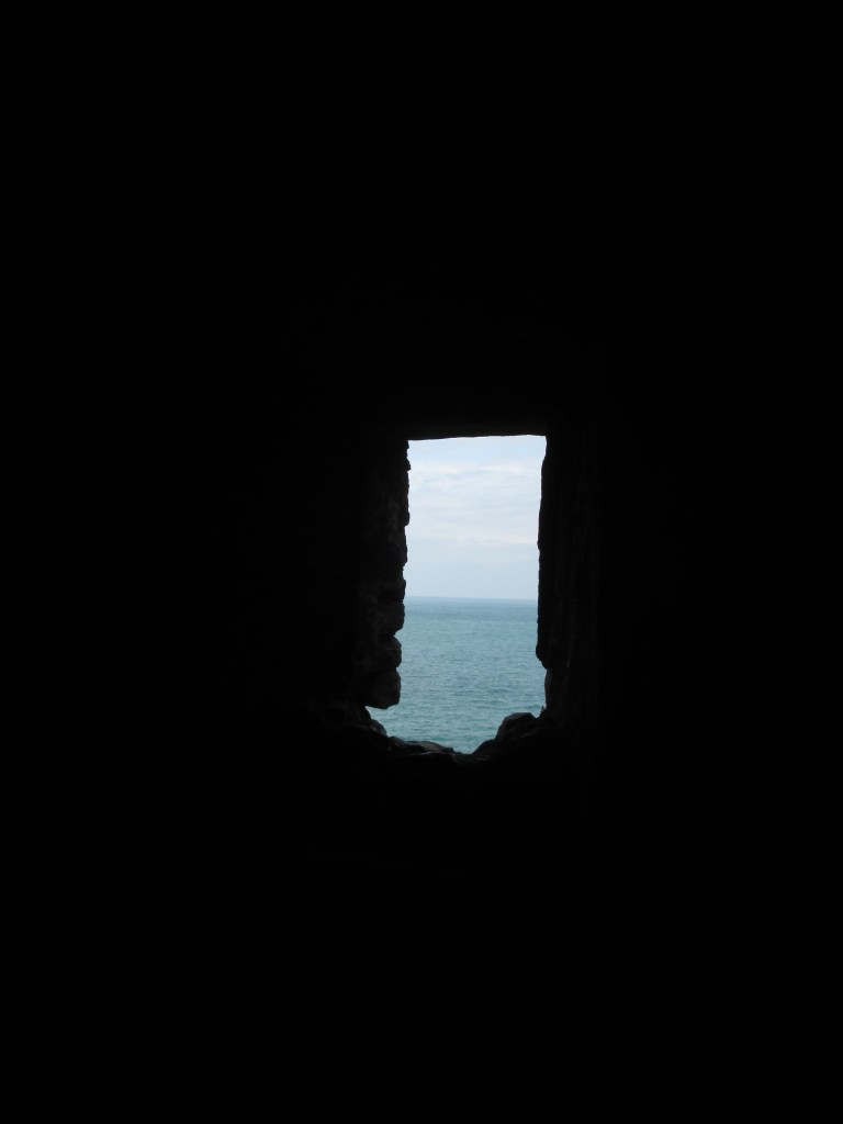
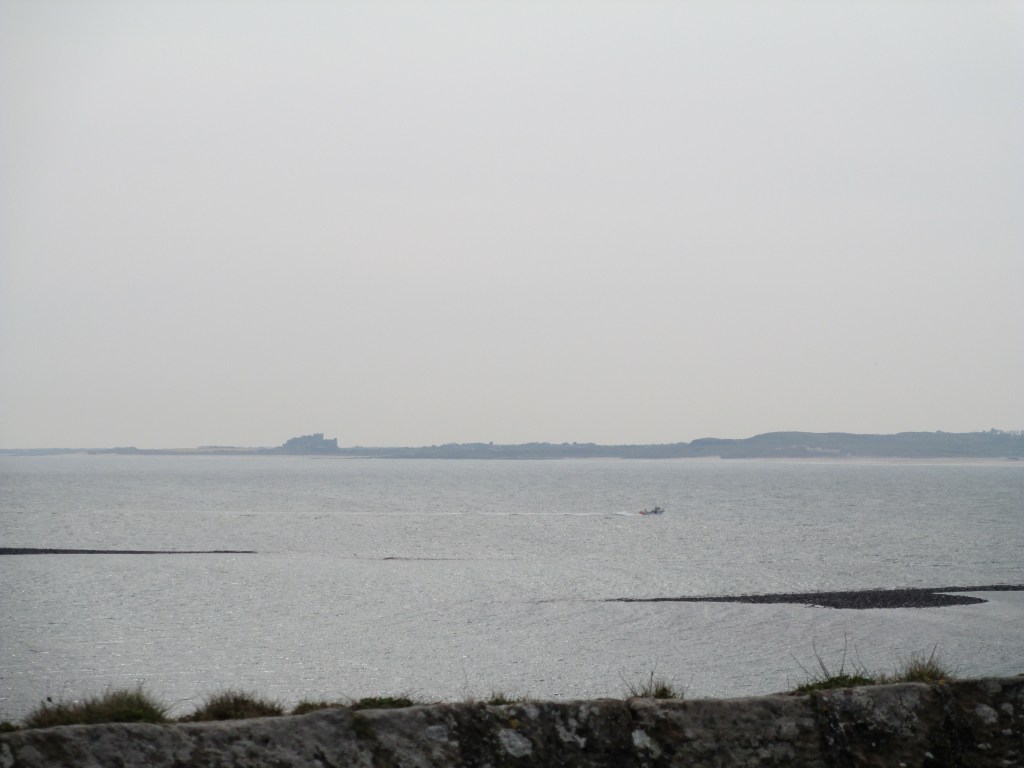
What all this means, is that there were more stories about Dylan and his exploits but they haven’t survived. Some of this is because the written sources that have survived have largely been by chance, and partly because some were certainly oral traditions and might not have been written down. Dylan does survive in odd places though, aside from all these mentions. His name is incorporated into a couple of place names, though tangentially, and rough seas and the roar of the tide at the mouth of the river Conwy is said to be the death groan of Dylan.

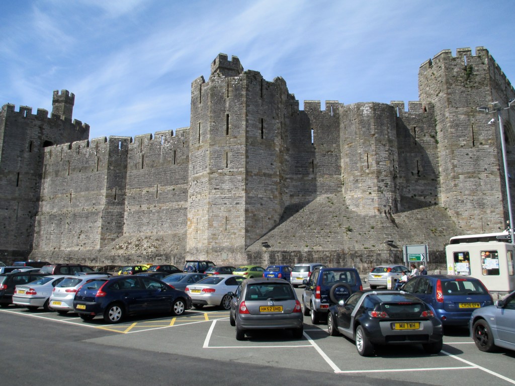
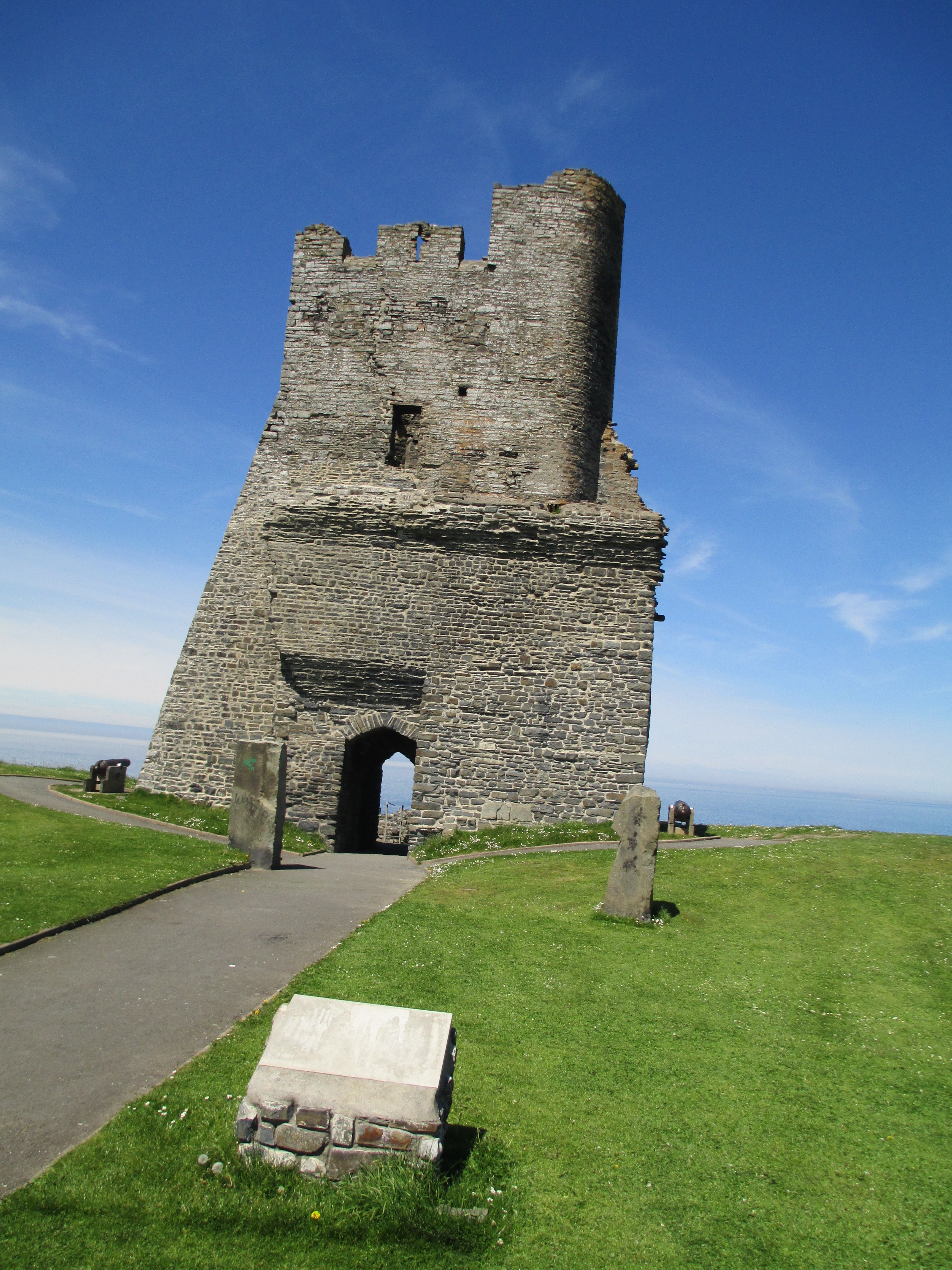
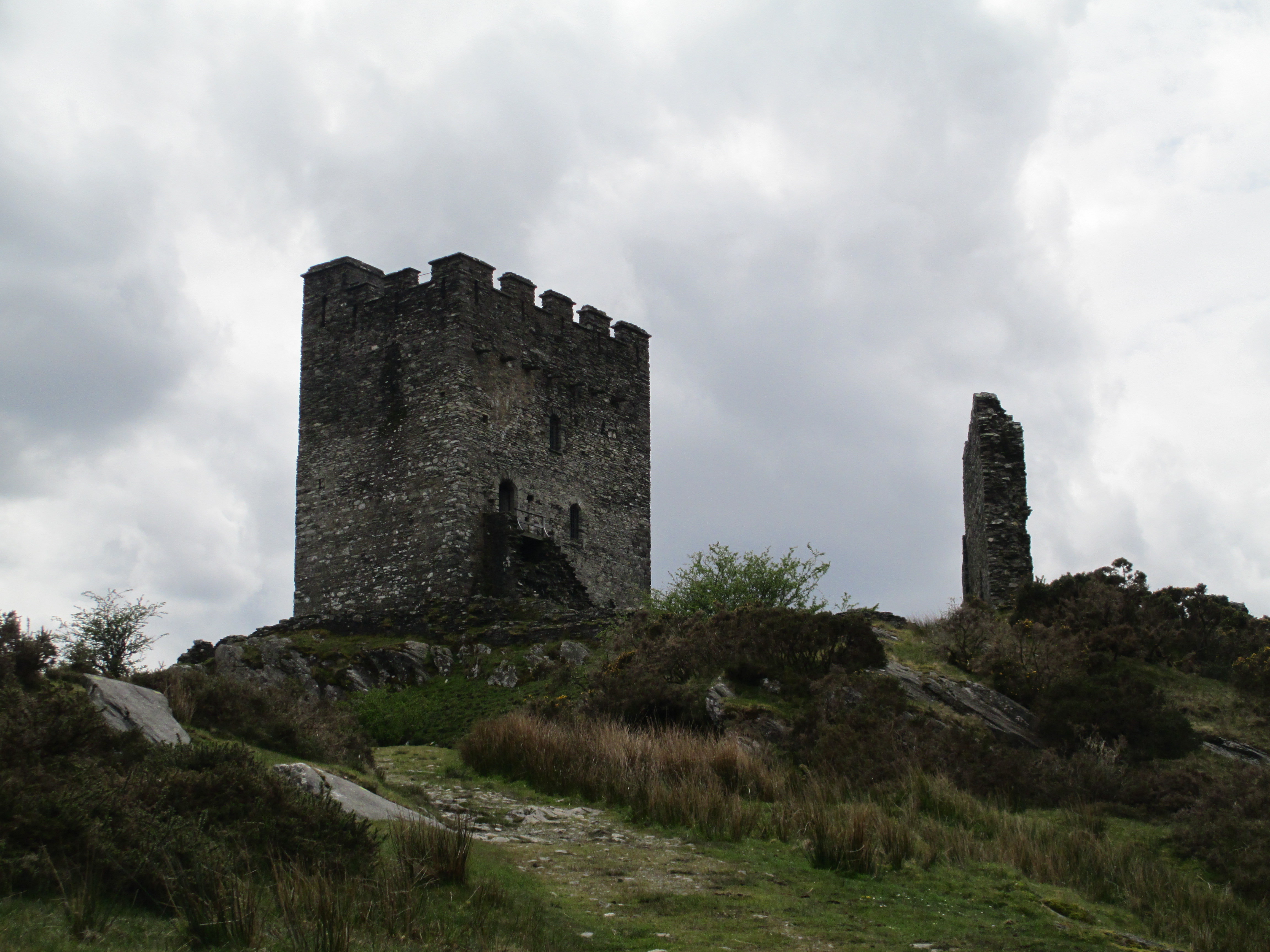
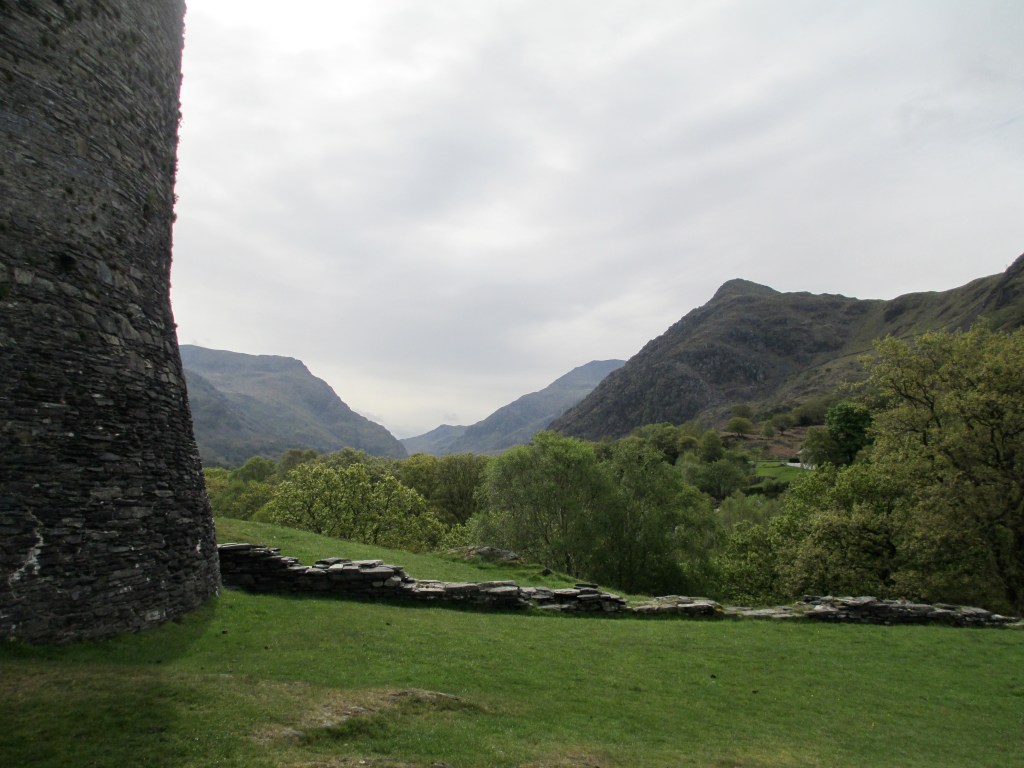
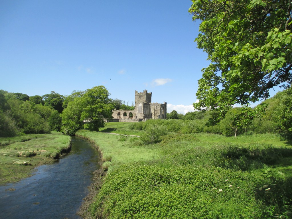
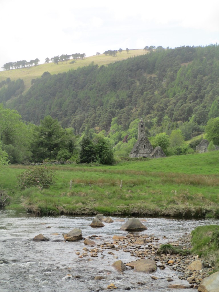
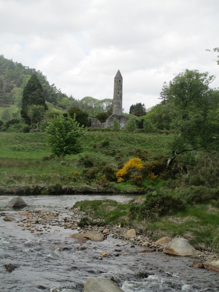
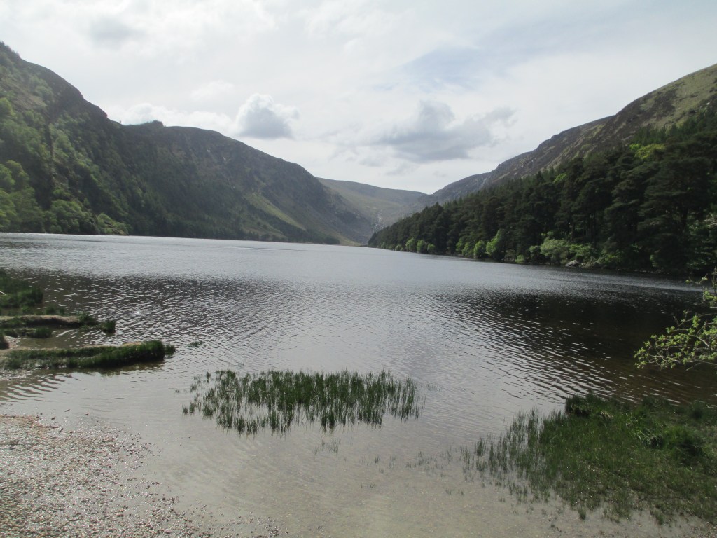
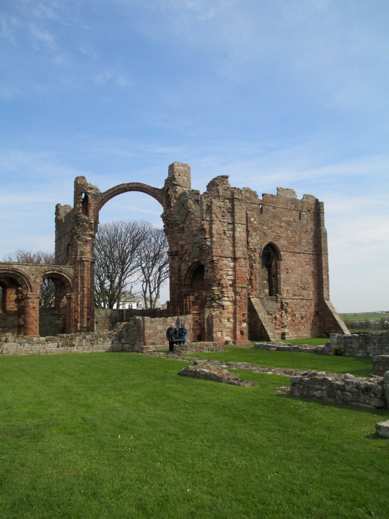
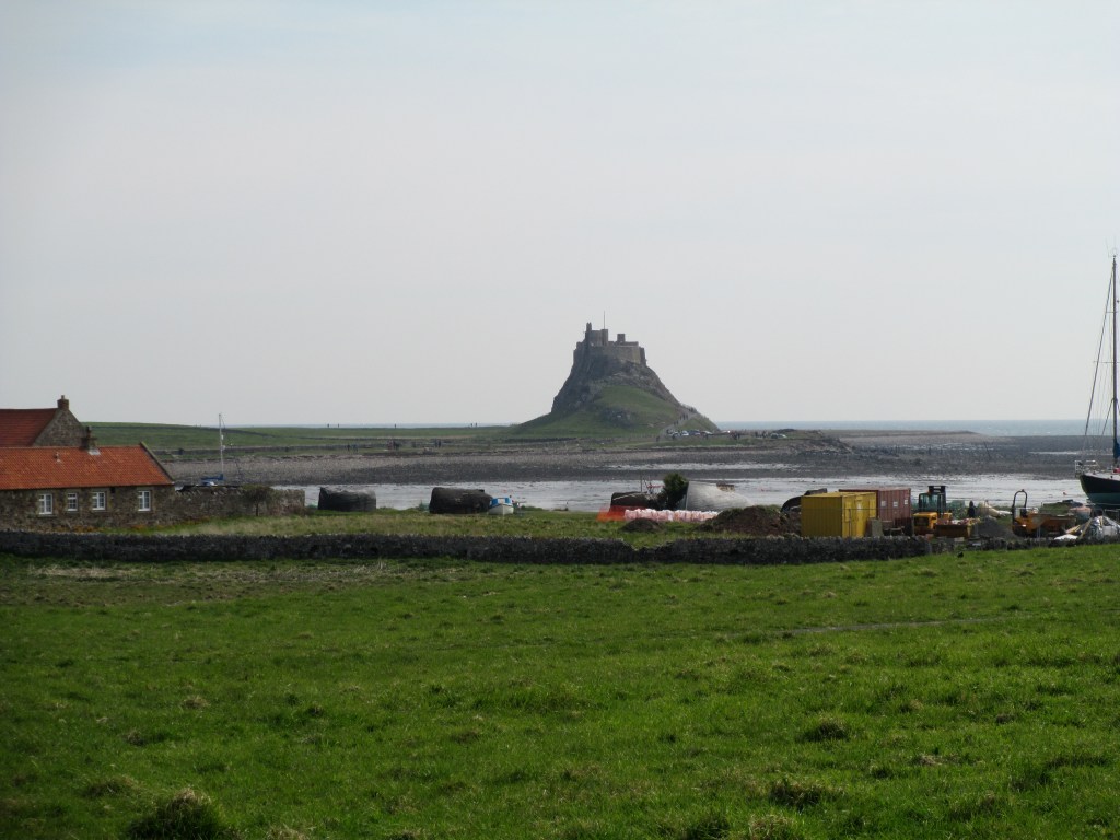
You can see the Conwy estuary below

There is also a school of thought that Dylan is the remnant of a lost sea divinity, and or that he was an early iteration of a merperson. While both are certainly a possibility (and something that we’ll never know), what it means for me is that I have a fairly blank slate to work from. So Dylan has become part of my world a ‘real’ building block to layer a new story on, and I kind of like that.

References:

Books:

Book of Taliesin: Translated by Gwyneth Lewis and Rowan Williams: 9780241381137

The Mabinogion: A new translation by Sioned Davies 9780199218783

Trioedd Ynys Prydein: The triads fo the Island of Britain edited by Rachel Bromwich

9781783163052

The Celtic Myths That Shape The Way We Think by Mark Williams 9780500252369

Dictionary of Celtic Mythology by James MacKillop

https://archive.org/details/dictionaryofcelt0000mack/mode/2up

Websites:

Mabinogion Summary https://www.bbc.co.uk/wales/history/sites/themes/society/myths_mabinogion_04.shtml#:~:text=The%20final%20and%20most%20complex,Math’s%20beautiful%20foot%2Dmaiden%20Goewin.

Mabinogion Project Gutenberg:

https://www.gutenberg.org/files/5160/5160-h/5160-h.htm

Welsh Classical Dictionary:

https://www.library.wales/fileadmin/docs_gwefan/new_structure/discover/digital_exhibitions/printed_material/welsh_classical_dictionary/05_D-E-F.pdf

Book of Taliesin:

https://www.library.wales/discover-learn/digital-exhibitions/manuscripts/the-middle-ages/book-of-taliesin

The photo is mine

Bear’s Castle

Bear’s Castle is an enigma. There is little agreement over why it was built, or its purpose, but it truly captures the imagination.

Bear’s Castle stands on the edge of the Yan Yean Reservoir, just out of Whittlesea. It’s one of those places I’d only seen photos of, so to say I was pleased to have a chance to visit earlier this year is an understatement.

Bear’s Castle is on lands run by Melbourne Water, due to the proximity of Yan Yean Reservoir, and it has gone through many uses in its life since it was built probably in the 1840s. So let’s start at the beginning, this is going to be a post with a lot of ‘possibles’ because so much is not known.

The best place to begin is with the man who gave his name to castle, John Bear. So who was John Bear?

John Bear came from a landed family in Devon. He emigrated to Australia with his entire family, servants, livestock and a few friends (they chartered a whole ship) in 1841. They arrived in Williamstown on the 20th of October 1841. Once arrived he set up as a stock and land merchant and then purchased land from the crown, an extensive 935 acres at Yan Yean (the reservoir was not built then). He built a homestead, and planted vines (one of the earliest vineyards in Victoria) and raised cattle. However, as a stock and land agent he worked mostly in the city so, somewhat unbelievably, he commuted back to Yan Yean on the weekends, leaving his younger son to run the farm.

I’d like to pause here to acknowledge that John Bear didn’t purchase uninhabited land. The lands around Yan Yean have been the home of the Wurundjeri Woi Wurrung people for thousands of years before colonisers like Bear arrived and claimed them. As far as I can find Bear was not involved in specific massacres, but by moving into the land and turning its use over to cattle and crops, he was dispossessing the Wurundjeri Woi Wurrung people. This is true of any Europeans, including my own family, who arrived in Victoria in the 19th century and began to acquire vast tracts of land.

We know Bear had a house built by 1842 because the family was held up by bushrangers that year. John Bear was away, but his wife and daughter were at the house and forced to cook the bushrangers dinner. They also apparently stole Bear’s best port. This incident leads to the first suggested reason for the construction of Bear Castle, as a refuge from bushrangers or even First Nations people (who it was feared may attack the new house and not without reason). There are a few reasons against this theory, the key of which is the distance between the house site and Bear’s Castle. It would have been a long dash through often hostile bush to reach the castle, not ideal as a quick refuge.

The most bandied about theory is that the castle was built due to an offhand remark by John Bear. The story is that two of his stockmen, possibly John Edwards and Thomas Hannaford- both from Devon, asked him what they should do while he was away for some months, and he flippantly replied, ‘build me a castle’. And thus they did just that. This is a story has been handed down, and is frequently accepted as the most likely reason for the construction of Bear’s Castle. It is definitely possible, as the castle is built out of cob, a traditional mud and straw building method from Devon, and it resembles follies that might have been a familiar site in Devon. You can see what it looked even more castlely in the c.1870 photo below. The people standing on the battlements are thought to be John Bear’s descendants.

Against this theory is how much time and effort the construction of Bear’s Castle would have likely taken. It seems extravagent to build on a whim. Additionally his family would have remained at the farm, it seems unlikely they would have been alright with their workmen building a castle when they could be undertaking more useful work. It could absolutely be a contributing factor though.

The castle was definitely finished by 1851 because the farm was renamed Castle Hill after devastating bushfires ravaged the area. These fires indicate another possible reason for the construction of the Castle, as a look out tower. This is probably the most plausible, the castle is clearly not built to be lived in long term (though the Duffy Family did occupy the castle for a short time in 1865 while a house was being built for them). But the top would have given commanding views across the landscape to watch for threats. Originally the battlements would have been reached by a ladder probably from the first floor. This first floor was probably no more than a mezzanine level that was used to access the battlements (which are no longer there) rather than a floor that was actually used as another storey. There isn’t really anything left of the floor, but there is a couple of piece of sugar gum which were most likely installed by Melbourne Water in the 1970s. They never finished installing anything more permanent.

The mezzanine was reached by stairs built into the castle wall.

So regardless of whether the castle was built as a refuge, a watch tower, a folly, or a combination there of, it was built and the history of the building itself is somewhat circumstantial but still interesting. It was probably built in the 1840s, most likely the late 1840s. It’s gone through many iterations. The walls are mainly cob, though what you see now as the exterior walls was done as a render with mud and chicken wire in the 1970s in an attempt to protect the building. You can see some of the exposed wire below.

The pitched roof that you can see now, appeared in a thatched form in the 1920s, but it was soon in extensive disrepair.

The roof was re-clad in timber shingles in the 1940s

Although the above photos are black and white, before its 1970s render the castle would have been grey from the clay it was built out of. Hidden beneath the 1970s render, as well as the original building material, are small details such as that the lancet windows were formed from inverted forks of gum trees. You mostly can no longer see the gums, but the inverted shape is distinctive.

You can see original materials peaking out from the 1970s render as well.

There is also a fireplace in Bear’s Castle

The chimney tower was built in the 1870s you can see how different it is from the other towers below

It’s the only extensive use of the bricks in the building.

Bear’s Castle’s survival is at least partly because it sits next to Yan Yean Reservoir which was constructed in the 1857 and is Victoria’s oldest water supply. When the reservoir was built it was the largest artificial reservoir in the world.

It was designed by James Blackburn, who was a civil engineer from England transported for embezzlement. It took four years to build, cost 750 000 pounds and has a capacity of 30 000 megalitres. Its status as a major source of water supply means that public access to Bear’s Castle has been restricted to protect the purity of the water. This probably contributed to both its survival, no chance to loot materials, and it’s obscurity; as even today you have to go on an organised, weather dependant tour to visit it.

Bear’s Castle is a unique survival, it’s the only cob building left in Victoria and is one of the state’s oldest. It stands for what were probably many cob buildings in the Yan Yean and Whittlesea area which have not survived. Whatever its purpose, it tells a story of an early pastoralist family bringing their history and traditions with them. Its very castle like nature tells of the hundreds of years of Eurpoean history imposed on the land. And if nothing else it is a mesmerising building.

References:

Site Visit 2023

Bear’s castle Conservation Plan June 1997

https://www.whittleseainfocentre.net.au/BearsCastle

https://www.parks.vic.gov.au/places-to-see/parks/yan-yean-reservoir-park

Images:

All modern photos are mine.

c.1872 image: https://commons.wikimedia.org/wiki/File:Bear%27s_Lookout_Castle_Hill_Yan_Yean_c1870.jpg

Early 1900s image:

https://find.slv.vic.gov.au/permalink/61SLV_INST/1sev8ar/alma9920982713607636

1940s image:

https://find.slv.vic.gov.au/permalink/61SLV_INST/1sev8ar/alma9917309423607636

John Bear image:

https://find.slv.vic.gov.au/permalink/61SLV_INST/1sev8ar/alma9918066113607636

Medieval Tiles

When thinking about what to write about today, I was looking at some of my recents posts, book reviews, castles and abbeys for the most part. So I thought, maybe I could write about a person? I hadn’t done a biography in a while, so I had a look at my books and my photos, photos are always a key decision maker when it comes to Historical Ragbag posts, and couldn’t decide on anyone. Therefore I had a look at some of my draft posts, things I’d either started writing about and didn’t finish, or posts that never got further than a heading. I came across one mysteriously titled, 13th century tiles, with nothing but the heading. I have written about medieval tiles before in the context of longer posts: Strata Florida Abbey in Wales and Mellifont Abbey in Ireland. Both have lovely examples of medieval tiles. You can see the posts in the links below

https://historicalragbag.com/2014/09/09/strata-florida-tiles/

https://historicalragbag.com/2017/05/22/mellifont-abbey/

So what had been my original intention been in titling a post 13th century tiles? I’m not 100% sure, but regardless I decided that writing about medieval tiles a little more generally could be fun, and give me an excuse to visit the State Library for some books. So hence, this post was born. I hope you find it interesting. This is by no means an exhaustive exploration of medieval tiles, but it should be (I hope) a nice overall look at them, their purpose, how they were made, as well as lots of photos of course. I’ve deliberately changed the name to medieval tiles because I want to look beyond the 13th century.

As medieval tiles were floor coverings not that many survive in tact, undamaged, or in their original positions. This just makes the ones that have survived all the more precious.

To begin though, I said Historical Ragbag is about photos, hence here’s my favourite of my photos of a medieval tile

This tile is from Mellifont Abbey in Ireland, probably dates to the early 13th century and was excavated in the 1950s. It’s my favourite for two reasons, firstly the lion rampant design is still so clearly evident and secondly because I was allowed to hold it. It is surprisingly heavy, and made from earthenware with a lead glaze. It’s not the only medieval tile at Mellifont, you can see more in the photos below. As they were excavated in the 1950s they aren’t in their original positions, and while they have been laid out close to their original patterns, they are in a protected area because there was an issue with vandalism.

You’ll find common patterns across most medieval tiles. The ones at Mellifont encompass roughly 25 common designs. It is, though, the only place in Ireland where a lion and a griffin in a circle has been found.

Mellifont is a Cistercian abbey, the oldest in Ireland, and the introduction of tiles there in the 1230s is most likely due to the increasing Anglo Norman influence on Irish religious institutions. The tiles there are lovely, but they are not unusual in terms of medieval tiles more generally.

This brings me to the making of the tiles. It was first thought that they were made by the monks, but most likely they were made by laymen. Originally if you wanted a tile pavement for your religious institution, you’d pay a tiler who would set up on your land and make your tiles, as time went on and more tiles were needed commercial tileries were established. Definitely by the 14th century commercial tileries were the norm. They often stayed local though, and it wasn’t until the mid 14th century that importing tiles was more common. The commercial tileries were high quality, but the designs were more generic. So how were they actually made? A tile kiln was most likely two parallel chambers separated by a spine wall, with a furnace. The kiln was usually built of tiles as well. You can see a hypothetical tile kiln the in the image below- it is from the book Irish Medieval Tiles. The materials the tiles were made from was largely dependant on the soil in the local area. The glazes used for the patterns were lead, and the tiles were most likely fired at 1000 degrees centigrade.

Physical manufacture was only part of the process. The designs of the tiles, either in pattern or layout, was also incredibly important. The tiles would have been coloured, with yellow, green and white glazes being common. The local availability of material could also affect the colour choice. I’m going to run quickly through the main overall design types. I don’t have photographic examples that I can say are definitely correct to a type, so I’m afraid we’ll have to rely on description.

Plain Tile Mosaics: Essentially tiles that were glazed a single colour, without a design, of different shapes and arranged in a pattern.

Two Colour Decoration: A single colour tile with a design impressed on it with another colour, usually done with white clay.

Two Colour Mosacis: When the two colour principle was applied to different shapes to create a mosaic.

Two Colour Square Tiles: More complicated designs, where the design was the point of the tile, not the overall mosaic. These designs were usually figural, heraldic shields, lions, griffins and dragons, sometimes a national symbol.

Line Impression Decoration: These designs were incised into the tiles.

Line Impressed Mosaics: The designs were incised, but intended to be part of a broader mosaic pattern- often irregularly shaped.

Line Impressed Square Tiles: Designs incised into square tiles.

Relief Decoration: The design is impressed with a stamp.

Relief Decorated Mosaic: Stamped designs on tiles intended to be a mosaic.

Relief Decorated Square Tiles: Stamped designs on square tiles.

You can see some of the different colours and typical designs in the collection collated at St Augustine’s Abbey in Canterbury below.

As time went on and the manufacture of tiles was more commercialised the designs on the tiles did become generic, but they would originally have had a figurative power beyond simply being beautiful. In theory the more ascetic monasteries, such as the Cistercians, kept the designs simpler but even in these cases symbolism can be found. Religious motifs were common, with allusions to the Virgin Mary, or a fish on an oval ground, a lily for the annunciation, the Lamb of God for the Templars, or Catherine Wheels for St Catherine. There were also pagan symbols, you find these in a lot of church carvings too, especially the Green Man and lions’ faces. These more figurative tile designs, like a lot of church art work, would have helped to convey the stories of religion and medieval life more generally to a largely illiterate population. Aside from the figurative, coats of arms were also popular along with other heraldric devices. These could indicate a patron of the institution, or a local family.

An excellent example of a mixture of the more generic imported tiles, with still some local influence, is Strata Florida in Wales. These have some really interesting patterns. They are most likely 14th century and were uncovered in the 1880s. They have heraldic images, the arms of Hugh Despenser, the Fleur de Lis of France which may be a nod to the Abbey’s mother house in Clairveaux, as well as a few allegorical designs. You can see them in the photos below.

As you can see they are a mixture of some impression designs and some probably either stamped or painted designs. These particular tiles became a tourist attraction at the end of the 19th century and unfortunately some were souvenired. They are now kept under a roofed area for protection from the elements, but would have originally been laid in the main part of the Abbey and tradition is that only important guests and choir monks were allowed to walk on them. They were made in England and imported which might explain the presence of Hugh Despenser’s arms (you can see the shield in the top right of the second photo) as he was reviled by the Welsh.

Now, I promised pictures, so I wanted to move on to some examples of medieval tiles outside of Mellifont and Strata Florida. Hopefully they’ll give you an idea of some of the different uses of medieval tiles, and their geographic range. The selection is limited to tiles I have photographs of, but they should give you a good overview.

St Dogmael’s in Wales.

The tiles here are out in the elements and incredibly worn, you can see the impact that being a ground cover can have.

The Franciscan Friary in Waterford Ireland

Like St Dogmael’s these tiles exhibit the wear that medieval tiles are subjected to, but you can make out the remains of some inscribed designs.

A Pavement laid out in the Musee de Cluny- the middle ages museum- in Pairs.

This pavement dates to the end of the 13th century, is of two coloured tiles, with a mosaic border and you can see the heraldic Fleur de Lis as well.

Westminster Abbey

Westminster Abbey is home to the Cosmati Pavement, an unparalleled work of inlaid stone from the mid 13th century. It stands at the high altar and you aren’t allowed to take photos inside the abbey, but you can see it at this link https://www.westminster-abbey.org/about-the-abbey/history/cosmati-pavement . The photo below is from the near the Chapter House, where you are allowed to take photos, and showcases some beautiful designs.

Winchester Cathedral in England

The tiles in Winchester are mainly 13th century and give you an incredible example of the sheer scale of some of these pavements in large religious institutions. They are the oldest area of medieval tiles to survive in England, and you’re still allowed to walk on them!

I wanted to finish the tour with a couple of anomolies, or different ways of covering the floor in medieval religious institions. The first Sainte Chapelle in Paris, the jewell box of a church that Louis IX of France had built to house the holy relics he collected. As you can see the floor is painted, the church dates to the mid thirteenth century.

Secondly, I wanted to look quickly at Chartes and its labyrinth. A subject I will return to in much more detail at a later point. Chartres Cathedral has a labyrinth inlaid into its floor. It most likely dates to the beginning of the 13th century, like a lot of our floor tiles, its exact purpose has never been clear, but pilgrims continue to come to walk its meditative meanderings.

So that brings us to the end of our exploration of medieval tiles. They were first and foremost floor coverings, but they were also beautiful, hand made and told their own stories. The ones that survive are in varied states of repair, but they can give you an idea of how truly majestic these pavements would have been.

References

Medieval Floor Tiles by Jane A Wight

Irish Medieval Tiles by Elizabeth Eames and Thomas Fanning

Medieval Tiles: A handbook by Elizabeth Eames

https://historicalragbag.com/2014/09/09/strata-florida-tiles/

https://historicalragbag.com/?s=mellifont

https://www.westminster-abbey.org/about-the-abbey/history/cosmati-pavement

https://www.westminster-abbey.org/about-the-abbey/history/chapter-house

https://www.atlasobscura.com/places/labyrinth-chartres-cathedral

The photos are all mine.

Welsh Castles: Well two of them anyway

There are a lot of castles in Wales. Of all the places I’ve been in the UK, for not that big a country Wales has more castles than pretty much anywhere else. This is partly because it was subdued by the English at the height of large castles being used for military oppression and domination. Edward I’s conquest of Wales in the late 13th century, led to the extraordinary (but also incredibly in your face reminders of domination and suppression) castles like Caernarfon, Beaumaris and Conwy. These were statements of English power on Welsh soil. They were deliberately built in places of significance to the Welsh, to enforce English rule and as a way of destroying Welsh identity and heritage. You can see all three below.

I have written about all three castle before and more information can be found here:

Caernarfon https://historicalragbag.com/2016/12/13/advent-calendar-of-castles-13th-of-december-caernarfon/

Beaumaris https://historicalragbag.com/2016/12/12/advent-calendar-of-castles-december-12th-beaumaris/

Conwy https://historicalragbag.com/2016/12/11/advent-calendar-of-castles-december-11th-conwy-castle/

The incursions of the English in the south of Wales and the development of the lordships in the Welsh Marches led to even older castles like Chepstow, which dates to the 11th century, and more ‘modern’ late 13th century castles like Caerphilly. You can see both Chepstow and Caerphilly below.

These were English (Norman French) lords building their own dominance onto the landscape, as they carved out their own lordships, and influence.

Again I’ve written about Chepstow and Caerphilly before

Chepstow: https://historicalragbag.com/2016/12/18/advent-calendar-of-castles-december-18th-chepstow-castle/

Caerphilly: https://historicalragbag.com/2016/12/19/advent-calendar-of-castles-19th-of-december-caerphilly-castle/

These are only a fraction of the 600 castles you’ll find in Wales. I’ve written about others before so have a rummage around the rest of the blog, and see what you can find. I’ve also added some other websites to explore in the references if you want to know more.

It is fitting that the majority of castles found in Wales today are run by Cadw, the Welsh heritage authority, and over the years the Welsh have certainly added to, over run and controlled many non Welsh built castles. For example Owain Glyndwr took Aberystwyth Castle in 1404, though he didn’t hold it for that long. You can see some of what’s left of Aberystwyth Castle in the photo below.

The Welsh also built their own castles. There are fewer of these that are purely Welsh, and I wanted to focus on two, both in North Wales and built by Welsh princes. Dolwyddelan and Dolbadarn. They don’t have the scale of some of the more dramatic castles, but they are definitively Welsh built, and each has their own story to tell. I have written about both before as part of my advent calendar of castles, but this post will examine them in a bit more detail.

So to begin: Dolwyddelan.

Dolwyddelan castle stands imposingly on a hill guarding the Lledr Valley. It stands on a private farm, but it is open to the public. It was most likely built by Llywelyn the Great Prince of Gwynedd (North Wales) in roughly 1200 CE, there is not a lot of surviving early evidence. There is a local tradition that that Llywelyn was born in the castle, but other locations are more likely. Llywelyn was the Welsh Prince who came closest to ruling over all of Wales after the arrival of the Anglo-Normans. Unfortunately his triumph was predominantly personal and Wales was largely conquered by Edward I little more that forty years after Llywelyn’s death. You can find out more about Llywelyn here, he was married to Joan of Wales the illegitimate daughter of King John, and you can find out more about her here.

But to return to Dolwyddelan itself. The castle was part of Llywelyn’s ring of castles to protect the passes through the mountains. It was built in the English style, though what you see now has been added to. The original keep was two stories and the third story and the wall walk were added later, possibly by Edward I.

There is also the remains of a second tower at Dolwyddelan, which again was most likely built by Edward I. There would have been a curtain wall between the two towers.

The battlements and the wall walk were rebuilt later under Lord Willoughby de Eresby. The castle came into his hands as a ruin in 1848. You can see the battlements and the wall walk in the photos below.

But that is the end of Dolwyddelan’s story. Let’s go back a little bit and find out more about the beginning. The castle very much commands the high ground

Dolwyddelan Castle stands near Dolwyddelan village. There is debate as to whether there was a settlement on this site before the castle was there, or if the castle gave rise to the settlement. There is also discussion about the meaning of the name. It most likely comes from Dol meaning meadow and Gwyddelan which meant little Irishman and refers to an Irish missionary who came over and preached Christianity in the area in roughly 600 CE.

Dolwyddelan was never a castle that was used for domination or attack, its primary purpose was to guard the ancient road from Conwy to Ardudwy and to protect the nearby summer cattle pastures. It was also a statement of Welsh authority, that Llywelyn was master of this wild landscape. Ironically, for a castle built by Llywelyn the Great and intended as a defence against the Anglo-Normans, the first we really see of Dolwyddelan playing a role, as far as records are concerned, is when it was taken by Edward I in January 1283. By taking the castle Edward I cut off communications and defences from the south. Edward I garrisoned it with his own men, who were camouflaged by dressing in white, and then gave command to a local loyal Welshman Griffith ap Tudor, he was later appointed constable for life. Edward I strengthened the castle, and little else is known of it, until it was sold in 1488 to Maredudd ap Ieuan and it stayed in his family. By 1848 it was a ruin and came into the hands of de Eresby.

Like other Welsh built castles Dolwyddelan isn’t elegant, it’s a functional keep built for a specific purpose, it is very much of the landscape.

The other Welsh castle I wanted to examine, is part of the same protective ring as Dolwyddelan. Dolbadarn Castle.

Like Dolwyddelan, Dolbadarn commands an ancient mountain pass. In this case the Llanberis pass, as well as two other passes through Snowdonia. The landscape you see around Dolbadarn now is drastically altered by mining in the area

But there are remnants of oak groves, that give you an idea of what the natural environment may have been like when the castle was first built.

The round keep at Dolbadarn was built in roughly 1230, again most likely by Llywelyn the Great. The striking round keep had a first floor entrance that would have originally been reached by timber stairs, you can see the beam holes for the two main floor levels, and both of the main chambers have fire places. The basement would probably have been reached by a ladder, but the upper floor and the roof had a spiral staircase that reversed its spiral half way up. The style was probably modelled on Marcher castles that Llywelyn would have seen in the south. You can see the remains of the interior of the keep in the photos below

The keep didn’t stand alone though. There were several buildings surrounding it, interestingly some of which were built of stone as there are surviving remains, outbuildings were usually wooden. These may have been a defensive tower, a great hall and a curtain wall. Some of which were probably added by Llywelyn the Last.

Dolbadarn actually played a key role in a couple of parts in Welsh history. It is most likely the castle where Llywelyn the Last held his brother Owain captive for more than twenty years from c. 1255 until Llywelyn was defeated by Edward I in 1282. Dolbadarn continued to play a role in Welsh history even after Llywelyn’s death. His younger brother Dafydd attempted to keep fighting the English, unsuccessfully. He probably issued his last documents as Prince of North Wales and Lord of Snowdon from Dolbadarn in 1283. He was captured soon afterwards and was taken to Shrewsbury where he was arguably the first man to be hanged drawn and quartered.

Edward I took over Dolbadarn, but made few changes. He refortified it, but didn’t expand it. Dolbadarn largely passes out of history, as it was slowly let to fall to ruin. There is some evidence that Owain Glyndwr held prisoners in the keep in the 15th century.

So that brings us to the end of the story of Dolwyddelan and Dolbadarn. Both Welsh built castles, part of a ring to protect Wales from the Anglo-Normans. Although they ultimately failed in the purpose, they still stand sentinel over the landscape they are so much a part of. A testimony to the history of Wales.

References:

Site visits 2012

Wales Castles and Historic places: 9781850130307

Castles in wales: 9781847710314

The Kings and Queens of Wales 978144560958

Medieval Wales 97805213115333

http://cadw.gov.wales/daysout/dolwyddelan-castle/?lang=en

https://cadw.gov.wales/visit/places-to-visit/dolbadarn-castle#overview

https://www.wales.com/about/culture/castles#:~:text=There%20are%20more%20than%20600,often%20in%20very%20beautiful%20places.

http://www.castlewales.com/

http://www.dolwyddelan.org/dolwyddelan-castle/

http://www.canolfanglyndwr.org/wales-aberystwyth.php

Boyle Abbey

Boyle Abbey is in the town of Boyle, in County Roscommon in Ireland. I have written about it before as part of my Advent Calendar of Medieval Religious Institutions in 2017, you can see that post here. This post is going to go into more detail though.

Boyle Abbey is one of the many Cistercian abbeys in Ireland. I have written about the foundation of the Cistercian order, Bernard of Clairvaux and the spread of the Cistercian order in Ireland in this previous post about Mellifont Abbey, the first Cistercian abbey in Ireland. https://historicalragbag.com/2017/05/22/mellifont-abbey/

Suffice to say that the Cistercian order was founded on the concept of a life devoted to prayer, study and manual labour. It was a reaction against the more worldly and lavish monasticism that had risen out of the Benedictine monasteries, and the idea was a return to the original ideals of the Order of St Benedict. The Cistercian abbeys all followed a relatively similar layout and you can see how Boyle would have looked originally in the photo below.

Cistercian abbeys were intended to be self-sufficient, relying on fishing and farming to support their communities. Boyle Abbey, like most Cistercian foundations, relied on water and it lies on the banks of Boyle River. The water would have been used for drinking, running the mill and flushing drains. In Boyle, not all the monastic buildings remain even in ruin, as it was converted to a military barracks in the 16th century. You can see the walls and the gatehouse in photo below

There are treasures that survive at Boyle though, especially in the exquisite carvings in the church, but I’ll return to them a little later. To begin at the beginning.

The first monks arrived at Boyle Abbey in 1161. It was a daughter house of Mellifont Abbey which you can see in the photo below.

Abbeys were often founded by a specific person or family. For example Tintern Parva, also in Ireland, was founded by William Marshal in thanks for surviving a particularly rough crossing of the Irish Sea. You can see Tintern in the photo below.

In the case of Boyle though, we don’t know who the founder was, if any, but the MacDermot Family who were Lords of Moylurg were patrons from early on in Boyle’s existence.

Once Boyle was founded in 1161 it maintained its self sufficiency, for the most part continuing as it always had through the years. There are a handful of times where it did step onto the centre stage. The first was in 1202 when the Anglo-Norman lord William de Burgh, who was in alliance with the King of Connacht, ransacked Boyle Abbey for three days. The Annals of Loch Ce described it as

They reached the monastery of Ath-da-larag on the Buill [Boyle Abbey], in which they fixed their residence; and they were three days in it, so that they polluted and defiled the entire monastery; and such was the extent of the defilement that the mercenaries of the army had the women in the hospital of the monks, and in every place in the entire monastery besides. No structure in the monastery was left without breaking and burning except the roofs of the houses alone; and even of these a great portion was broken and burned. No part of the buildings of the entire monastery was allowed to the monks and the brothers, excepting only the dormitory of the monks, and the house of the novices.

This was part of broader fighting both between the Anglo-Norman lords, who had arrived in Ireland in 1169 and began to claim large swathes of Ireland, John King of England and the Irish chieftains and kings. These depredations would have slowed down the construction of Boyle’s buildings as well, the church was still being built at this point. In fact Boyle was almost a perpetual construction site.

Boyle’s next moment in the limelight was when the Abbot was involved with the Conspiracy of Mellifont. This was part of a broader conflict between the Cistercian General Chapter in Clairveaux in France and the Cistercian abbeys in Ireland. The General Chapter believed that the Irish abbeys were answering only to Mellifont and were behaving not in accordance with the rule of the General Chapter. It’s perfectly possible that this didn’t mean that their conduct with problematic, more that they just weren’t directly under the control of the General Chapter as much as the General Chapter wanted. It was a conflict years in the making, but resulted in the General Chapter deposing five of the abbots of Irish Cistercian monasteries, including Boyle, and ensuring that they were answerable directly to the General Chapter in Clairveaux, taking Mellifont out of the chain of command. This conflict was also part of the even broader conflict between the native Irish and the Anglo-Norman world.

Unfortunately for Boyle this secondary conflict continued and it was caught in the middle more than once. In 1235 it was attacked by the English who, according to the Annals of Loch Ce

broke open the sacristy; and all its valuable things, and its mass-chalices and altar cloths, were taken of it.

Eventually reparations were paid.

Apart from being the site of a few prominent burials Boyle stayed out of centre stage until the Dissolution of the Monasteries. While Henry VIII’s Act of Suppression of the Monasteries was passed in 1534, it took some time for all the monasteries to be suppressed, especially remote sites like Boyle. So Boyle hung on until 1584 when it was finally dissolved and its abbot Abbot Glaisne O’Culleanain was executed in Dublin when he refused to renounce Rome. Boyle was leased to William Usher from 1589 until 1599 and then until the 18th century it was under military occupation, and was known as Boyle Castle. It came into the hands of the Commissioners of Public Works as a National Monument in 1892 and is today in the hands of the OPW.

Before it was restored in 20th century, Boyle was allowed to return somewhat to nature. You can see some etchings of it in the 1800s below.

So despite being a military fortification for over 300 years, a surprisingly large part of the Cistercian structure of Boyle remains. You can see some of the surviving structures in the photos below

The jewel in the crown at Boyle though is the church.

It is a truly remarkable survival and actually my reason for wanting to write about Boyle, because it has some incredible carvings. The church was built over a number of years, with sections begun with the foundation of the abbey in 1161 including the presbytery and the transepts, where the tower also began.

The church was not built quickly. Its construction was interrupted by things like raids from Anglo-Norman lords, but a building of its grandeur simply takes time to build. The church wasn’t consecrated until 1218, and even then it was most likely not entirely complete, you can see elements of both Romanesque and gothic, and an early adoption of more English styles, such as the tower. The earliest part dates to the late 12th century and the latest part, mainly the north piers, to the start of the 13th. It was added to as time went on as well, with much of the current tower dating to the 1300s. The really interesting thing about Boyle’s church is its grandeur. Cistercian churches were meant to be plain and austere, towers were frowned upon because they were considered extravagant and elaborate carvings and ornamentations were also not approved. Boyle’s church, however, adheres to none of these rules. Illustrating how the Irish Cistercian churches were separating themselves from the General Chapter of the Cistercian order which led to the Mellifont Conspiracy.

To return though, to the carvings I keep mentioning. When the church was complete, there were nearly 40 new capitals (the top part of a column) that needed to be decorated, and it is these decorations that survive today. Again, this was against Cistercian tradition. Most were adorned with floral motifs, which were fairly common at the time.

Others were decorated with animals and similar figures.

The most remarkable though is one that depicts little men

This carving, and some of the animals, was completely out of keeping with anything you’d find in any Cistercian church. This indicates the Irishness of these churches, and their separation from the rest of the Cistercian order. They also indicate the wealth and influence of Boyle Abbey, and apart from anything else they are just lovely.

These aren’t the only carvings to survive at Boyle, you can see some of the others that have become dislodged over the years in the small museum on site. These include a sundial- which you can see on the left.

Boyle Abbey represents much of Irish history, with its incursion from Anglo-Norman lords and the English, along with conflict with the broader Cistercian order. Boyle is part of a large network of Cistercian churches throughout Ireland, but it stands out for its size and grandeur and especially its carvings.

References:

Site visit 2015

Boyle Abbey OPW booklet

The Antiquities of Ireland Volume I Grosse

The Daily Telegraph Castles and Ancient Monuments of Ireland by Damien Noonan

https://archive.org/details/annalsoflochcc01hennuoft/page/n11/mode/2up

https://www.dhi.ac.uk/cistercians/abbeys/boyle.php

Smith, Brendan. “The Armagh-Clogher Dispute and the ‘Mellifont Conspiracy’: Diocesan Politics and Monastic Reform in Early Thirteenth Century Ireland.” Seanchas Ardmhacha: Journal of the Armagh Diocesan Historical Society, vol. 14, no. 2, 1991, pp. 26–38. JSTOR, http://www.jstor.org/stable/29742491. Accessed 5 Oct. 2020.

https://historicalragbag.com/2017/05/22/mellifont-abbey/

https://historicalragbag.com/2017/12/18/advent-calendar-of-medieval-religious-institutions-december-18th-boyle-abbey/

The photos are all mine.

St Govan’s Chapel

St Govan’s Chapel in Pembrokeshire Wales, is one of those places that has stories seeped into it. There’s not a lot of information, but it’s a fascinating place so in the tradition of Historical Ragbag, I thought I’d write about it. Especially because my last two posts have been so long and in depth, I thought something with a few more pictures and a little bit shorter might be nice too, so I settled on St Govan’s.

I wanted to start with the coast that St Govan’s is nestled in. The spectacular coastline is part of the Pembrokeshire National Park, but St Govan’s itself is actually situated on land owned by the Ministry of Defence. It’s called the Castlemartin Range, and means that it isn’t always open to visitors when the military is using the area. The Pembrokeshire National Park and The Ministry of Defence work closely together to preserve and protect this bit of coastline. You can see just how beautiful if is in the photos below.

You would be forgiven for missing St Govan’s. I had no idea it was there certainly. I was lucky enough that the owner of the BnB I was staying in knew I was interested in medieval history and drove me to some of the best medieval sites in the region. St Govan’s is nestled so close into the rock, it is almost invisible.

In winter waves can break over the Chapel. I was lucky enough to be there in excellent weather, it is still somewhat of a precarious descent though.

When you reach the bottom of the steps, you are met with a secluded door.

Once you walk through the Chapel, you can see why it is so prone to incursion by the sea.

So the history of this little Chapel, built into the cliffs of Pembrokeshire, is actually quite up for debate. All sorts of stories have grown up around it over time, it is even arguable who St Govan was and how he came to give him name to the Chapel. The spelling of ‘Govan’ is relatively contemporary with earlier maps referring to the chapel as St Gouen, Gowen, Goven, Gofan and Gobin. He could have been the nephew of St David, or possibly a disciple of St Eilfyw who baptised St David, or both. According to the information sign at the chapel, St Govan was most likely St Gobham who was the Abbot of Dairinis in County Wexford in Ireland, but there is an argument that this St Gobham was a totally seperate person who became confused with Govan over time because of the similarity of the names and two sources that got confused. It also gets murky because there is the possibility that the name Govan is a bastardisation of Gawain, one of King Arthur’s knights. This is unlikely (apart from the fact that Gawain is probably legendary), it is a story that has become woven into the history of the chapel over the centuries, and doesn’t seem to have any vaguely contemporary references. Most likely St Govan, if he existed at all, was a local saint possibly connected to St David. Regardless of who he was; at some point in probably the 5th century Govan came to the area and set up a monastic hermitage on the site the chapel now stands on. The current building dates to later than this, but I’ll return to that in a moment.

So the next question is, why did St Govan decide to set up a monastic hermitage on this site? Now, as you’ll see will become common in the history of St Govan’s, there’s a few different version of the story. The basic narrative is that he was being pursued by pirates, or the local villagers, or bandits of some kind and he couldn’t find safe refuge, so he prayed and a cleft in the rock opened miraculously for him to hide in. In one version the rocks closed so tightly around him to protect him that his ribs left an impression in the stone. Then in thanks he built a hermitage there and stayed the remainder of his life. St Govan’s Chapel is certainly in a small cleft in the rock, though I don’t think it was opened miraculously by God.

The other part of this legend is St Govan’s Bell. Again there are different versions, but the gist is that St Govan had a silver bell that he used to warn people of pirates in the area. The pirates stole the bell and St Govan prayed for its return and angels brought the bell back and set it in stone, so St Govan could still send out warnings. The large rock to the right of the Chapel is said to be this bell, and is still called bell rock.

Another, slightly more poetic version of the story can be seen in the BBC Cymru clip below, it also gives you a great idea of the landscape surrounding St Govan’s.

So, so far we aren’t sure exactly who St Govan was, or why he was there, or what he was doing, but there are lots of good stories. Now let’s turn to the Chapel itself. It was built on the site in either the 11th, 12th, 13th or 14th centuries, depending on who you talk to, and it is possible that versions of it were built in all of these centuries. It was definitely restored in the 1980s, which is why it is so intact. In particular I think the roof is the most recent. The Chapel itself is a single chamber measuring 5.5m by 3.7m with three doors, one of which opens into a natural cave which you can see in the photo below.

This cave is known as the saint’s cell, and it most likely here that the original St Govan set himself up before any version of the chapel was built, it is also possible that this is where he hid from the pirates (or whoever else was chasing him). It is right next to the altar in the chapel proper. There are a couple of intriguing legends that tie to the saint’s cell, one is that Jesus hid in there at one point, possibly from pirates (though no one seems clear on why Jesus was in Wales hiding from anyone). There is also the legend that if you climb into the cell and can turn around while making a wish, that it will come true. So again St Govan’s history is almost more of myth than of fact, but that in many ways makes it more interesting.

So the interior of the Chapel proper is quite sparse there is an altar, a piscina (a place for disposing of holy water etc), some stone benches and a well, along with some small windows looking out to sea. I will return to the well in a moment. You can see the interior of the Chapel in the photos below.

But to return to the wells. There are two at St Govan’s but only the one outside the Chapel is named for the saint. You can see it under the little domed cover in the bottom right of the photo below.

So this is a holy well. The stories of the powers of Welsh holy wells and St Govan’s in particular is a long one, and one that has been covered in detail by this excellent article from the Pembrokeshire Historical Society. http://www.pembrokeshirehistoricalsociety.co.uk/famous-cure-diseases-st-govans-well-350-years/

So the well at St Govan’s would have been famous locally for centuries, but the earliest recorded mention of it as a place to visit is from 1662 where a traveller John Ray said “Thence the same day to St. Gobin’s Well, by the sea side, where under the cliff stands a little chapel, sacred to the saint, and a little below it a well, famous for the cure of all diseases. There is, from the top of the cliff to the Chapel a descent of 52 steps”

Before I return to the well, I just want to quickly make a point about the steps. There is a legend that it is impossible to exactly count the number of steps down to the Chapel. Every account certainly seems to give a different number ranging between 50 ish and 70.

Returning to the well though. “Cure of all diseases” is a lovely catch all. Pilgrims did definitely go there to be cured over the centuries, and even into the 19th century sick people were visiting St Govan’s well in the hope of miraculous cures. As travel became easier more people were able to visit the well and it became known for cures for “scrofula, paralysis, dropsy, and other complaints” according to one account from the late 19th century. By 1922 however, the well was dry, as it remains today and St Govan’s story, and the Chapel’s story began to drift back into obscurity. Though it has remained a lovely and rather fascinating tourist destination, as well as having a very real history interwoven with myth. It’s definitely well worth visiting for the location alone, but I wouldn’t be looking for a cure for COVID there (sadly).

References:

Site visit 2012

https://www.visitpembrokeshire.com/attraction-listing/st-govans-chapel

https://www.atlasobscura.com/places/st-govans-chapel

https://www.visitbritain.com/au/en/st-govans-chapel

https://www.pembrokeshirecoast.wales/about-the-national-park/culture-and-heritage/land-of-legends/st-govans-chapel/

All the photos are mine.

The Basilica of Saint Denis and the Kings and Queens of France

My post on the burial places of the kings and queens of England has been the most popular post I have ever written. This is despite the fact that, although I visited all the sites, I was not allowed to take photos in either St Georges Chapel in Windsor or Westminster Abbey where the majority of them are buried. With this in mind and from a desire to write about something that has absolutely nothing to do with COVID, I thought I’d have a look at the Basilica of Saint Denis- the burial place of most of the Kings of France. Now unfortunately I don’t have all my research material with me at the moment, so rather than an examination of each monarch, I’m going to look at the church itself and highlight some of the more interesting monuments. Saint Denis gets overlooked for the more popular Notre Dame by most people visiting Paris, but for my money it is the more interesting church, even before Notre Dame burnt down. It is pretty spectacular; inside and out:

I wanted to start by looking at what makes the church a basilica rather than just a church. The title of basilica is granted by the Vatican, but it can also be the style of the church. In the case of Saint Denis it is old enough that the designation of basilica dates back to 5th century, when it was given the label because it had a floor plan that was the same as a Roman civic building, that is three naves that were used for administration of justice. Although the church was significantly rebuilt by Abbot Suger in the 12th century the designation remained. Typically of a basilica Saint Denis is built on the bones of a saint, was a key site for pilgrimage and became the centre of a town. Saint Denis might now be in Paris, but it definitely wasn’t when it was built and the town of Saint Denis sprang up around it. In 1966 the church was given cathedral status as the seat of the diocese of Saint Denis.

So, regardless of whether you call it a church, a basilica or a cathedral, Saint Denis is very old. The first church on the site built in the 5th century would have been part of a wider abbey and is thought to have been built on a Roman church yard, where the bones of Saint Denis were buried. It was extensively rebuilt under the Norman rule and in the 12th century Abbot Suger remodelled it to the gothic masterpiece you see today. However, not all of it is original. While it was added to over the centuries, especially under Louis IX in the 13th century, over the years in began to fall into disrepair. By the French Revolution, it became a symbol of the power of kings, and was thus badly damaged. The lead from the roof was melted down and some of the royal tombs were destroyed. The remains of the kings and queens were removed and mixed with lime and thrown in a mass grave, but many of the monuments on the royal tombs were preserved for the new national museum. The church was then used as a warehouse. French writer François-René de Chateaubriand in his work Génie du Christianisme, described this ruin: “Saint-Denis is deserted. Birds fly in and out, grass grows on its smashed altars and all one can hear is the dripping of water through its open roof”. Restoration began under Napoleon who thought about being buried there and restoring a line of emperors, and then when the monarchy was restored, for a short period of time anyway, restoration continued. The royal tombs were restored to the church in the 19th century, in what was at least close to their original positions. Over the 19th century Saint Denis became a trialing ground for conservation and restoration, a process that has in some ways continued to the present day. The most recent restoration was the facade which took place between 2012 and 2015. Although not all that you see is original, this is a building that is at the heart of the history of France and its patchwork reflects the chequered history of its country. You can see what it would have looked like as an abbey in the photo below.

That is a bit of a background to the church itself. I would now like to turn to some of the kings and queens who were buried there. This post is not going to go into immense detail about every monarch interred in Saint Denis, but I will have a look at some of them. To begin though, how did Saint Denis become the burial place for the Kings and Queens of France? It wasn’t until the 10th century that it became the key site for royal burial. Up until this point Saint Denis was competing with several other cemeteries. Royal burials were popular because they attracted visitors and in some cases pilgrims, which brought in revenue for the religious institutions where the member of the royal family was buried. They were also more likely to receive largess for other members of the family. When the Capetians ascended the throne at the end of the 10th century, they made Saint Denis their royal necropolis, and from then on most kings and queens were buried there until the 19th century- though there were of course exceptions.

There’s simply too many royal burials at Saint Denis to examine each of them. During the period of time it was used as the royal necropolis 42 kings, 32 queens, 63 princes and princesses and 10 men of the kingdom were interred there. Today there are just over 70 effigies and monumental tombs in Saint Denis. One day I might revisit this, and look at the burial places of the all the Kings and Queens of France. But at the moment I’m going to explore a few.

I want to begin with the end. Louis XVIII was the last king to be interred in Saint Denis. Starting at the end might seem like an odd way to tell this story, but in many ways he exemplifies Saint Denis as a royal necropolis as he worked to restore it as a symbol of the monarchy. Louis XVIII was Louis XVI’s younger brother and once Louis XVI was executed, he declared himself regent to his nephew and then when his nephew died he declared himself Louis XVIII in 1795. Now as this was in the middle of the French Revolution-the declaration was somewhat of a moot point. Louis wandered around Europe for a bit, but he did eventually manage to become King of France (actually residing in the country) in 1814 and was the last monarch to be interred in Saint Denis. You can see his grave in the image below.

I want to continue with the king and queen who are, arguably, the best known of the French monarchy, and are inextricably linked to Louis XVIII. Louis XVI and Marie Antionette. There are two monuments to them in the church. You can see both in the photos below.

Neither of the effigies are contemporary. The black graves are where the remains of Marie Antoinette and Louis XVI were reinterred by Louis XVIII. The other statue was completed in c.1830 at the behest of Louis XVIII. It shows Louis XVI and Marie Antionette in prayer- most likely as a way of rehabilitating the monarchy and tracing Louis XVIII back to them- legitimising his claim to the throne. As people and monarchs in their own rights hundreds of books have been written, movies have been made and the story of French Revolution told and told again. I’m not intending to retell their stories in this post (it would make it incredibly long for one thing). I will say one thing. Marie Antionette does receive a fair amount of flack in popular culture for being a Queen so completely divorced from the fate of her people that when they ran out of bread she famously said “let them eat cake.” Like most famous sayings, it didn’t happen. There is absolutely no evidence that she ever said it. It wasn’t attributed to her until 50 years after her death; and was applied tongue in cheek more generally for out of touch monarchs. I will leave my discussion of Marie Antionette and Louis XVI there, except to say that Louis was executed first on the 21st of January 1793 and Marie Antionette on the 16th of October 1793. They probably weren’t the worst monarchs France had ever had, but their idea of monarchy could not stand up against the changing times.

So I started at the end, now I’m going to go back to the start Saint Denis and Dagobert.

In the crypt of Saint Denis are remains of the structures that would have been below the site of the church- this is roughly where the tomb of Saint Denis would have been. Saint Denis was possibly the first Bishop of Paris, he was martyred in c.285 CE and is the patron saint of France. You can see the archaeological tombs in the photo below.

The other beginning at Saint Denis is Dagobert- the first French King to be interred in the church. You can see the monument to him in the photo below

It’s not contemporary and was constructed in the 13th century, but it depicts the king’s soul making its way through the afterlife. Due to his transgressions towards the church, he appropriated quite a lot of church property, he is first sent to hell but in the top panel you can see Saint Denis, Saint Martin and Saint Maurice seizing his soul from the hands of the demons and taking it off to paradise. His recumbent effigy is facing where the relics of Saint Denis would have been, showing Saint Denis as the protector of the monarchy. Dagobert himself, was an interesting figure. He was buried in Saint Denis in 639 CE and actually technically wasn’t a King of France, mainly because France as we know it today didn’t exist. The Kingdom of the Franks was a loosely held together group of smaller territories most of which are included in what we would now consider to be France. Dagobert inherited a partly held together kingdom from his father Chlotar II, Chlotar had pulled together Burgundy and Austrasia (Austrasia covered what we would now see as north eastern France, Belgium and parts of Western and Central Germany). Dagobert managed to hold this together and called himself King of the Franks from 629 until his death in 639, he pre dates Charlemagne who was the first king to hold the majority of what is now France. For our purposes the most interesting thing Dagobert did was be the first king to decide to be buried at Saint Denis. The church was already sacred, because it held the relics of Saint Denis, but Dagobert’s decision put the church on the path to becoming the necropolis of the French monarchy and Saint Denis on the path to being the protector of the royal family.

So those are our book ends. The first and the last kings to be interred in Saint Denis. I thought I would include a king somewhere in the middle- who was also responsible for much of the 13th century work on Saint Denis that you see today. Louis IX is someone I’ve written about before- in passing mainly in relation of Angers, but I want to discuss him briefly here. His effigy has not survived in Saint Denis, though the effigies of two of his children who died in infancy have, and they’re very rare examples of metal tombs. You can see them in the photo below.

Louis IX actually died in Tunis on crusade in 1270 and the flesh was boiled from his bones so they could be sent back to be interred in Saint Denis (this was not an unusual occurrence) his relics didn’t arrive back in Paris until 1271. Louis IX didn’t only refashion Saint Denis, he also collected holy relics including (apparently) a piece of the crown of thorns and a piece of the true cross and his personal chapel Sainte-Chappelle in Paris is a true jewel-box of medieval architecture (you can see it in the photo below)

Louis IX came to the throne at the age of 11, and his mother Blanche of Castille ruled as regent for his minority, she was the grand daughter of Eleanor of Aquitaine. He married Margaret of Provence, whose sister Eleanor of Provence was married to Henry III of England so there was a close relationship between the two royal families. Louis was a pious, but strong king and France held an important place on the European stage during his reign. He led two crusades, somewhat successfully, and expanded the inquisition, so as far as the church was concerned he was an excellent king, he was supported by the people of France as well and they canonised him unofficially after his death in 1270. He was officially canonised by Pope Boniface in 1297 in the reign of his grandson Philip IV, partly in attempt to appease Philip in the ongoing conflict between the papacy and the French king. Philip IV was interred in Saint Denis, and his son Charles IV had his effigy constructed in c. 1327. You can see it on the right against the wrought iron in the photo below

So that brings me to the end of my discussion of Saint Denis and some of the kings interred within. One day I might come back and write a post more specifically about the Kings and Queens of France, but for now I hope this post has given you some insight into a magnificent church and its funeral monuments. I’m going to conclude with some final photos of some of the monuments I haven’t discussed but will hopefully one day return to.

References:

Site visit 2012

Saint Denis Basilica Cathedral booklet

France in the Middle Ages 987-1460 by Georges Duby

http://www.saint-denis-basilique.fr/en/Explore/History-of-the-monument

https://uk.tourisme93.com/basilica/recumbent-statues.html

https://uk.tourisme93.com/basilica/tomb-of-dagobert.html

https://www.britannica.com/biography/Saint-Denis

https://www.britannica.com/topic/Merovingian-dynasty

https://www.britannica.com/place/France/The-failure-of-reunification-613-714#ref237300

https://www.britannica.com/biography/Dagobert-I

https://www.britannica.com/place/Austrasia

https://www.britannica.com/biography/Louis-IX

https://uk.tourisme93.com/basilica/philippe-iv-le-bel.html

https://study.com/academy/lesson/basilica-of-st-denis-architecture-history.html

http://www.gcatholic.org/churches/data/basFR.htm

https://www.britannica.com/biography/Louis-XVIII

https://www.britannica.com/story/did-marie-antoinette-really-say-let-them-eat-cake

The photos are all mine

Glendalough

Glendalough, is a name to conjure with. Standing in County Wicklow, it is an amazingly intact example of a scholastic form of Christianity that grew in Ireland, centred around remote communities, where a simple life was lived and learning was at its core. It is by no means the only such site remaining. The bigger, showier Clonmacnoise sometimes gets more of the attention, but in its remote and quiet beauty, Glendalough has to be my favourite.

I have written about Glendalough before, as part of an advent calendar of medieval religious institutions in 2017, but this post will go into more detail about the history of the site itself and the buildings that can be found on it.

The first place to start with Glendalough is its name. It comes from the Irish; Gleann de Loch which translates as a valley of two lakes. The name really exemplifies the quiet, isolated beauty of the place.

St Kevin founded Glendalough in the second half of the 6th century CE, it wouldn’t have been on the site where the main monastic settlement now stands. When he originally came into the area it wasn’t to begin a monastic settlement, he wanted to live as a hermit. St Kevin was probably born in the first half of the 6th century CE and would have grown up with the development of Celtic christianity, which was rooted in holy men seeking isolated places to live an ascetic lifestyle and be closer to God. So this is probably what Kevin was intending when he first moved into the Glendalough region. It was said that he lived alone for seven years, possibly in the site now known as St Kevin’s cell.

You can see the remains of what would have probably been a beehive cell, like those you see on Skellig Michael- you can see them in the photo below. You can learn more about Skelling Michael here

The spot has a spectacular view over the nearby lough, which is one of the loughs of Glendalough’s name

When students began to arrive to learn from St Kevin, he moved the settlement possibly across the lake, but also possibly to the site it now stands on. Essentially, either way, he needed more space.

The site you see today is a combination of a number of eras and was occupied as a monastic settlement from roughly 600 CE to 1500 CE. Glendalough, might have begun with one man but it became a monastic school, a place of scholarly learning. Monastic schools, like Glendalough, trained young men as scholars, often fostering the children of the Irish kings. They also produced manuscripts, sometimes copying them, sometimes creating a completely new manuscripts and shared them with other scholastic institutions. In the case of Glendalough, there were close ties with Clonmacnoise in County Offaly, you can see it in the photos below.

Life at Glendalough was not always a peaceful one though. There were viking raids in 790 CE, 894 CE, 889 CE and 938 CE. These would have been swift raids and would have resulted in the theft of precious objects and possibly monks, as well as destruction of property, but they would not have stopped the overall growth of Glendalough itself. By the early 1100s the diocese of Glendalough covered over 50 000 acres. This was now far beyond what St Kevin began, and the community of monks and scholars would have been supported by a broader community of farmers, craftsmen, and labourers. It was effectively a town. Pilgrims would also have come to Glendalough, seeking absolution from a variety of sins, up to and including murder. This was a thriving self sufficient community. The future of Glendalough, indeed the future of Ireland, changed when the Anglo-Normans invaded in 1169 CE. I’m not going to go into a great deal of detail here regarding the Anglo-Norman invasion, but a basic run down is that King Dermot MacMurrough invited some of them to help him reclaim his Kingdom of Leinster. Essentially they never left. It allowed Henry II to establish an Anglo-Norman toe hold in Ireland that expanded as the years and centuries passed. This influence was seen in Glendalough in some of the later buildings, which reflect more Norman style architecture. It was also under Norman influence that Glendalough was incorporated into the Dublin diocese in 1214 CE. Glendalough survived through wars between the local Irish tribes and English forces from Dublin. It was actually ransacked by the English in 1398 and it was partly ruined. Over the succeeding centuries Glendalough slowly declined and gradually fell into disuse by the start of the 16th century. When the last of the Irish chieftains fled in 1601 CE- an event known as the Flight of the Earls- any hope of re-establishing the community (which had been a Gaelic symbol) vanished. The buildings were left to become ruins, you can see what it looked like in the late 18th century in the engraving below.

Glendalough remained unprotected until the 1870s CE when it was taken over by the Board of Works. Thankfully, quite a lot still survives and you can really immerse yourself in the world of Glendalough.

I’m now going to go through some of the buildings you can see in Glendalough, I’m not going to cover all of them, but hopefully I’ll give you a good overview. As I said earlier it is made up of a number of structures from different eras.

I wanted to begin with the gates.

Glendalough would have originally had a wall surrounding the main settlement, and a gated main entrance with a watchtower. The gates you see today would have originally had a second story, but nothing remains of it today, the stones you can see in the ground are actually part of the original road into the settlement. These gates are the last remaining gateway to a monastic site in Ireland.

There are a number of buildings surviving in the Glendalough settlement itself. The two that stand out the most are St Kevin’s Church and the round tower. I’m going to start with St Kevin’s Church. It is a truly remarkable building, and is both largely intact and original.

St. Kevin’s Church is dedicated to St Kevin and most likely replaced a wooden church that stood on the site. The belfry looks a bit like a chimney, so it is also known as Kevin’s Kitchen. The church most likely dates from the 1100s CE, though the tower was probably added later. There would have been a second story within the church, which would have acted as living quarters. You aren’t allowed into the church, but if you are wondering how I have included a photo of the interior, you can see my method in the image below.

The other building which features most in all depictions of Glendalough is the round tower.

The purpose of round towers is very much up for debate, and I’ve written about the round towers of Ireland before. So you can discover more about them here. This particular round tower dates most likely from the early 1100s CE. The round tower at Glendalough is just over 100ft tall (30.5m), the cone on the top is not original, as it collapsed in a storm and was replaced in 1876. The tower tapers as it climbs, at its base the diameter is 4.9 m and 4.2m by the time you reach the top. It also extends about .9 m below the surface to rest on a gravel subsoil. I love round towers, for their idiosyncrasies and the Glendalough Round Tower is one of the best examples I’ve seen.

The other key building in the settlement is the cathedral. The oldest parts of the cathedral date to 900-1000 CE, with some additions from 1100-1200 CE

It was only designated as a cathedral until 1214 CE when the Glendalough Diocese was combined into the Dublin Diocese. The exterior stonework is rough, but would most likely have been plastered originally. The building is a bit of an amalgam, with the chancel definitely being added later and being of rougher construction than the rest of the building. There is still some lovely carving that you can see in the images above. The other interesting feature of the cathedral is an embrasure in one wall. It would have had a door for storing precious objects and the small basin in it is the piscina, and would have been using for pouring away holy water so it couldn’t be used for unauthorised purposes.

The final building I’m going to discuss is actually a short walk from the main settlement of Glendalough. St Saviour’s Priory was probably the last of the major buildings at Glendalough. It stands alone in a landscape that can’t have changed much since it was built in the mid 12th century CE. It is also the most elaborate of the Glendalough buildings, with a clear Norman Romanesque construction. It was restored in 1875. It is an unusually wide building, but what is most memorable for me, and most interesting, is the amount of carvings that have survived. You can see them and the church itself in the photos below.

So that brings me to the end of my journey through Glendalough. I haven’t covered every building surviving in the settlement, but I hope I’ve given you a good idea of its history, importance and beauty. If you take nothing else from this post, I hope you’ve had the chance to appreciate how striking Glendalough truly is. I’ll leave you with one more picture of the round tower.

References:

Site visit 2015

Glendalough: A guide ISBN: 9181905487462

The Antiquities of Ireland, Volume II Grosse

Early Medieval Ireland 400-1200 Daibhi O Croinin

The Daily Telegraph: Castles and Ancient Monuments of Ireland

The photos are all mine, apart from the first photo of St Kevin’s, the photo of me leaning into St Kevin’s and the photo of the exterior of the Cathedral. These were taken by Penny Woodward.

Lindisfarne Castle

Lindisfarne, also known as the Holy Island, is off the coast of Northumberland and can only be reached by a very tidal causeway. You can see it in the photo below.

Lindisfarne is probably best known for its Priory, which was founded in CE 635. It was famed as the home of St Cuthbert, and it was here that the spectacular Lindisfarne Gospels were created in around 700 CE, in honour of St Cuthbert. You can see one of the opening pages of the Gospels below

The Gospels are held in the British Library and you can find out more about them here

https://www.bl.uk/collection-items/lindisfarne-gospels

They Priory itself is truly beautiful and its other claim to fame is as the site of a devastating Viking raid in 793 CE. You can see the Priory ruins in the photos below

I have written about the Priory before in a short post for my medieval advent calendar- you can see it here. https://historicalragbag.com/2017/12/05/advent-calendar-of-medieval-religious-institutions-december-5th-lindisfarne/

This post, however, is not about the Priory. This post is about Lindisfarne Castle.

The castle began its life as an Elizabethan fort. It was built to protect the Lindisfarne Harbour, which was the last deep water port before the Scottish border. Building began in 1570 CE and some of the stone came from the Priory, which had been dissolved in the Dissolution of the Monasteries. It took about two years to build and was garrisoned from the nearby Berwick. For the next 300 years it remained garrisoned as a sentinel, but saw pretty much no action. The guns and garrison were removed in 1893, and the castle was effectively left alone until it was ‘discovered’ by Edward Hudson, the founder of Country Life, in 1901. He had it converted into a holiday home, though as you can see, it remained very much a fort from the outside.

Hudson commissioned architect Edwin Luytens to convert it for his family. Despite its forbidding external appearance it actually became quite a cosy, if eccentric, holiday house. You can still see pieces of the old fort poking through, though a lot of the original features were lost in the renovations. The best example of all the periods of the castle is the dining room

Lutyens put in a new fireplace and laid the herringbone floor, but he left the salt hole and bread oven from the garrison’s time and the low walls with the vaulted ceiling, which were installed in the 18th century, to hold the weight of the guns above.

In looking at the rooms that Lutyens created, you can see how a family would have lived here.

The castle was sold to Oswald Falk in 1921 and then to Edward de Stein in 1929. de Stein gave the castle to the National Trust in 1944 and by 1970, after de Stein died, the castle was opened to the public.

There is also some interesting garden history at Lindisfarne Castle. In 1911 Gertrude Jekyll designed a layout for a summer flower garden. Jekyll was renowned garden designer and had worked with Lutyens before, in fact Lutyens had a portrait commissioned of her in 1920 that is now in the Tate Gallery. You can see it below

The garden Jekyll designed was to the north of the fort, where the soldiers had previously grown vegetables, it is an area protected from the strong sea winds by a wall. In 2002 a plan to restore the garden was undertaken, trying to match the original plants. When I visited in 2012, the garden had sadly fallen a little by the wayside again, but it is still possible to get an idea of what was intended.

So Lindisfarne castle has lived an interesting life. Built from the stones of the far more famous Priory, 300 years as a military fort that saw little to no action, 70 years as a beloved holiday house and up until the present where hundreds of visitors a year come to view its patchwork of history. If nothing else it still commands an imposing position on the landscape, and from the top there’s an incredible view – you can just see Bamburgh Castle in the distance.

References:

Site visit 2012

National Trust Welcome to Lindisfarne brochure

https://www.nationaltrust.org.uk/lindisfarne-castle/features/the-castle-peeling-back-the-layers

The photos are all mine, apart from the image of Gertrude Jekyll which can be found at https://upload.wikimedia.org/wikipedia/en/1/1c/Gertrude_Jekyll_by_William_Nicholson.jpg

And the image of the Lindisfarne Gospels which can be found here

https://www.bl.uk/collection-items/lindisfarne-gospels