
I’ve always liked lighthouses. I think it’s something to do with their solidness, as sentinels on the edge of the world. I like the stone, the history and the beacon in the darkness. It also helps that they are usually on stunning pieces of coastline.
I have two pictures of lighthouses as part of my personal art collection, and hanging them together got me thinking about all the lighthouses I’ve visited over the years. So I went back through my photos and found 31 individual lighthouses. I’m sure I’ve been to more, but these are the ones with identifiable photos. So, I thought I’d introduce you to them. Some you’ll have met before, because I’ve written about them here, but others are all new. This post isn’t intended to be an exhaustive history of each lighthouse, it is more an overview of each, even a possible preview for a longer post in the future. If nothing else, it’s lots of pretty photos of lighthouses. Most are Australian, but there’s some guest appearances from the UK, Ireland, New Zealand and Iceland.
For clarity’s sake – they are in alphabetical order. Enjoy
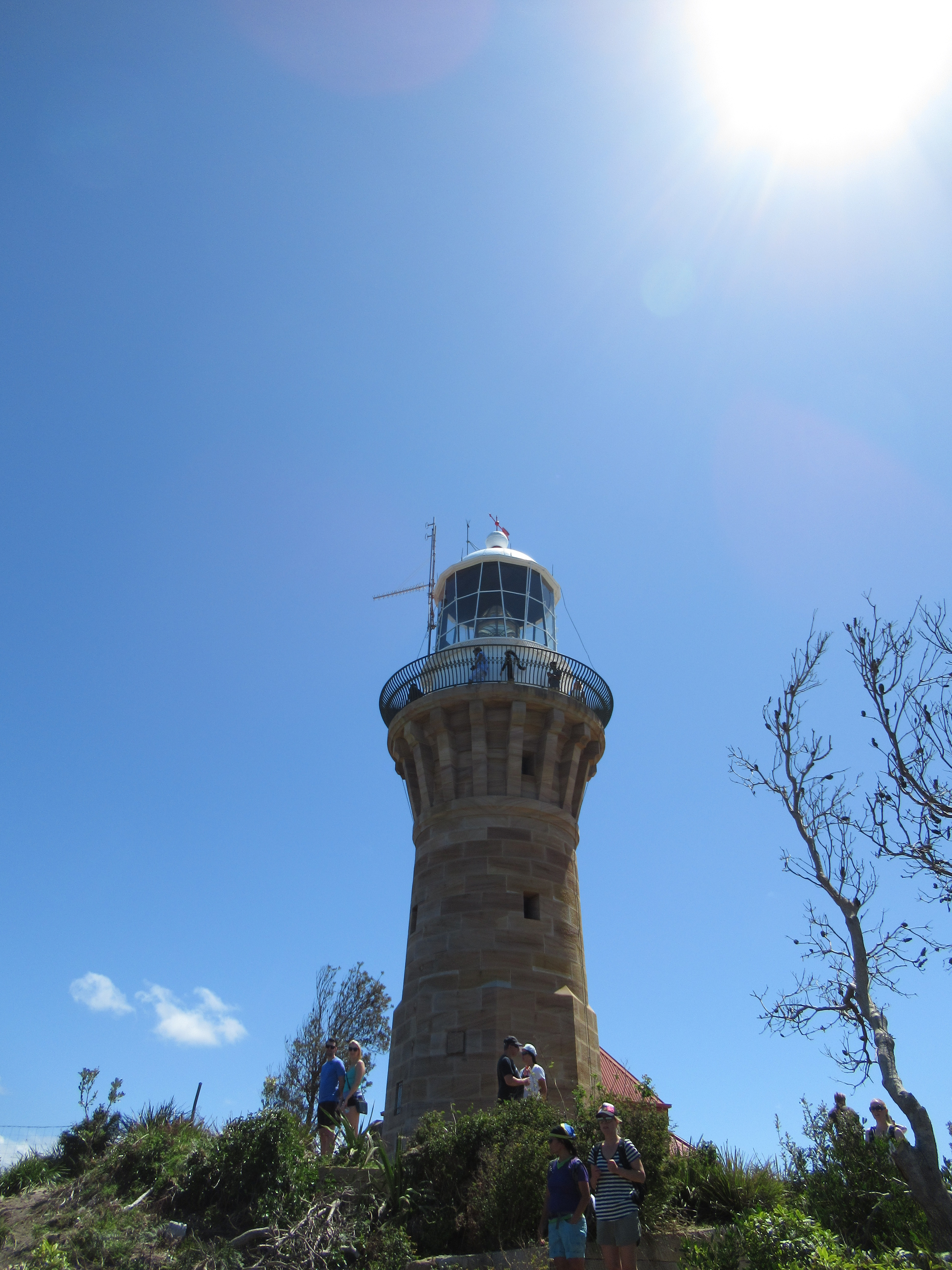
Barrenjoey
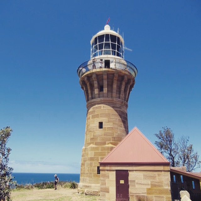
So we’re kicking off with a lighthouse I have written about before and you can see that post here.
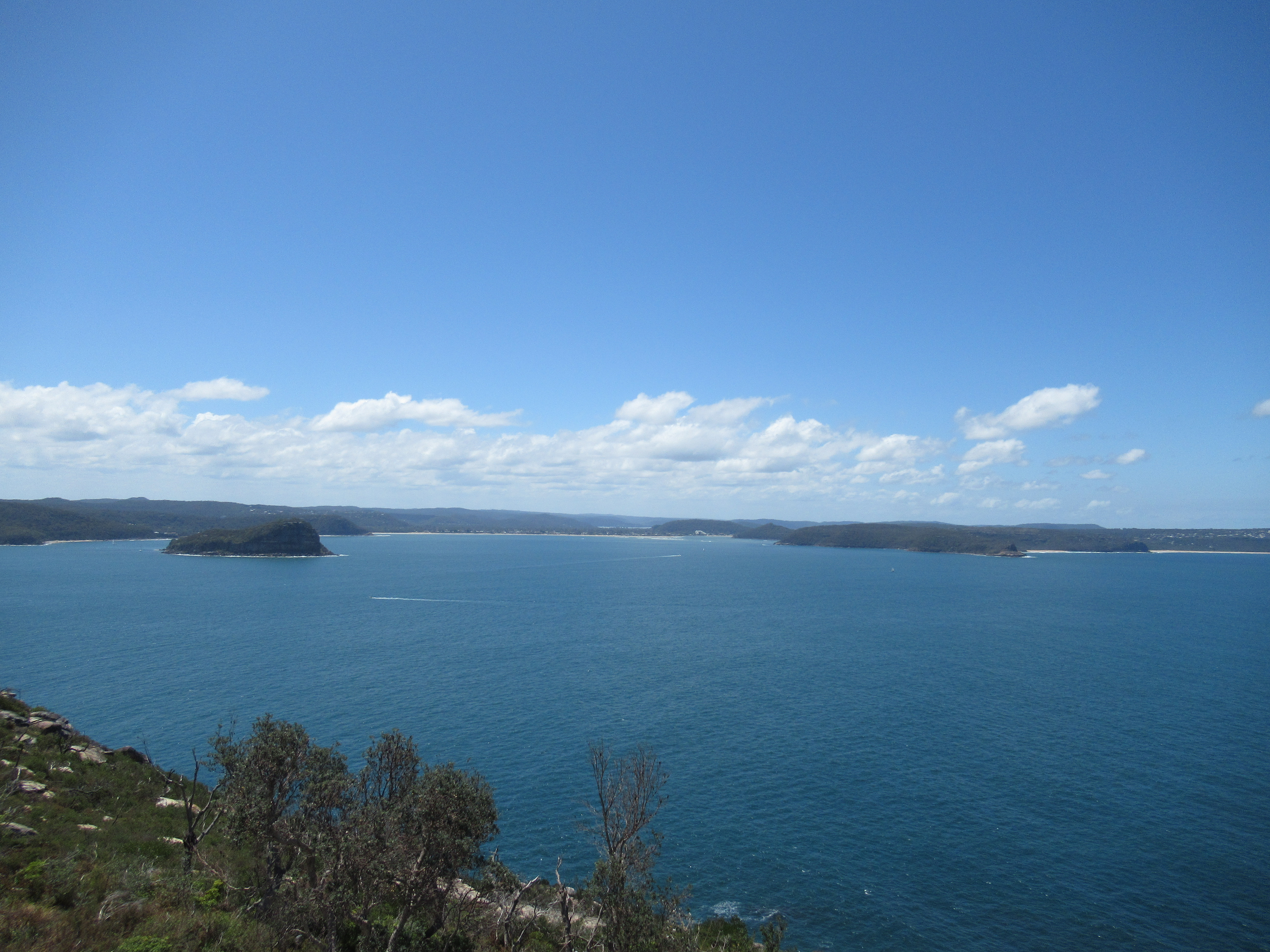
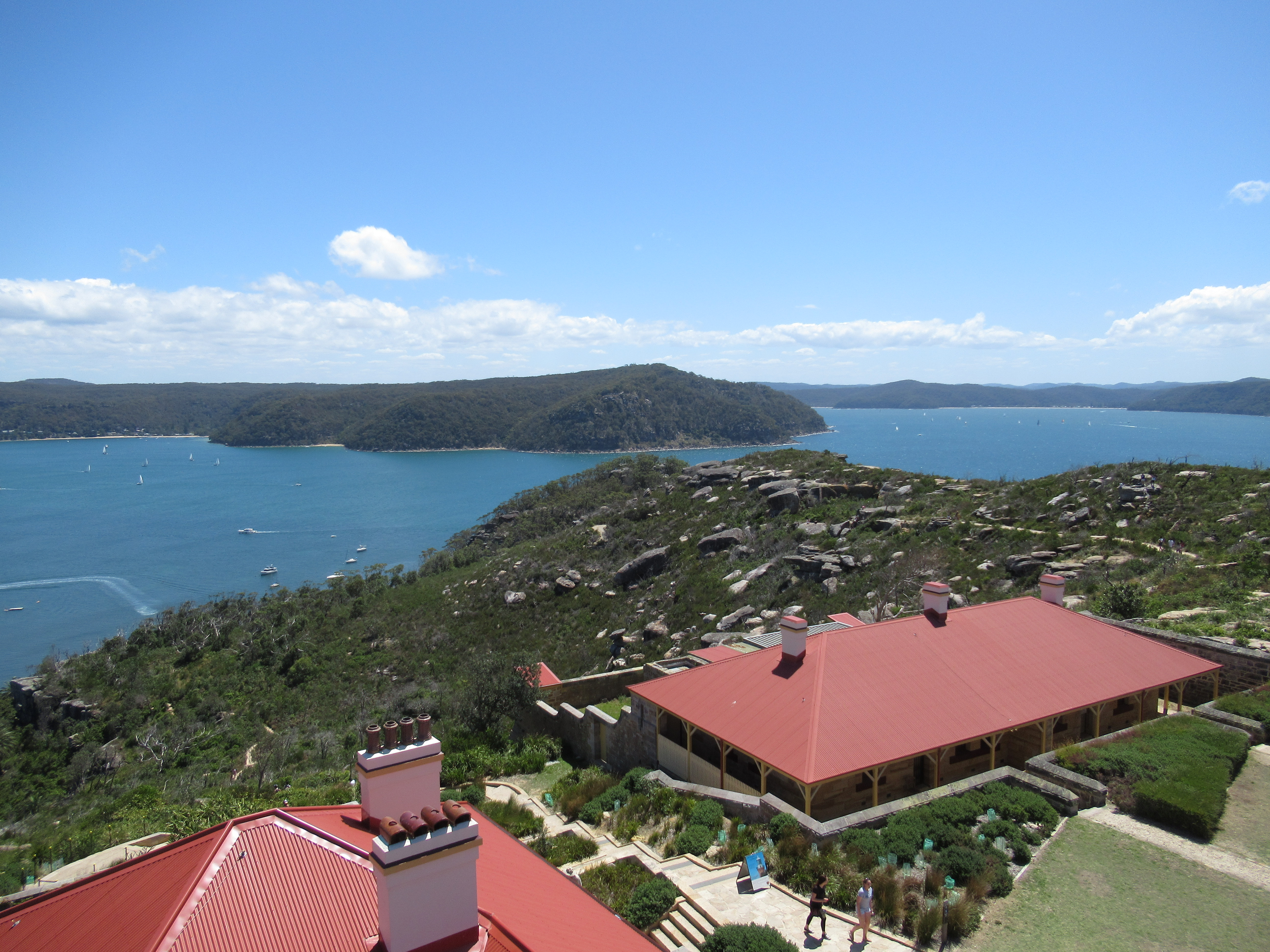
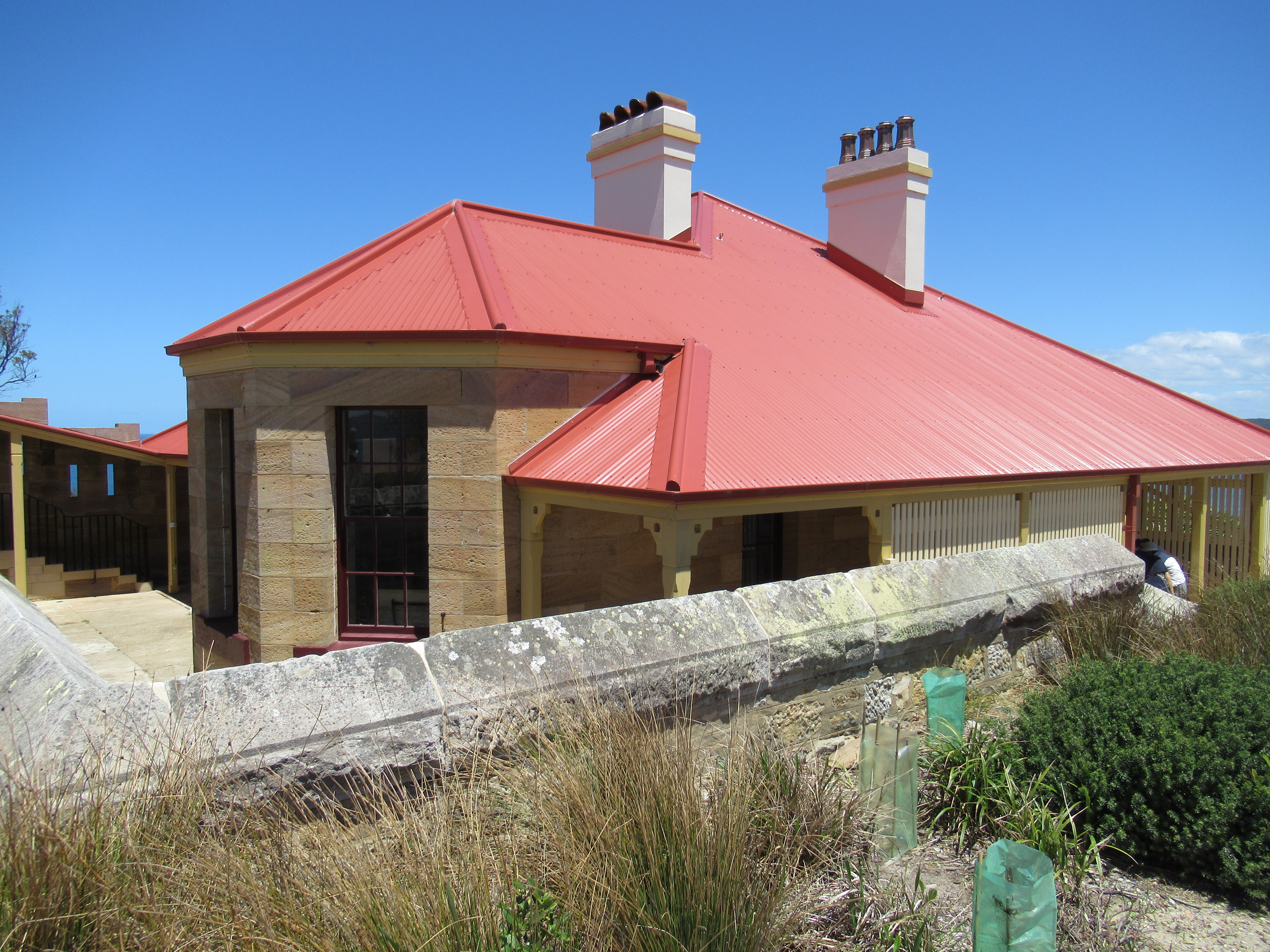
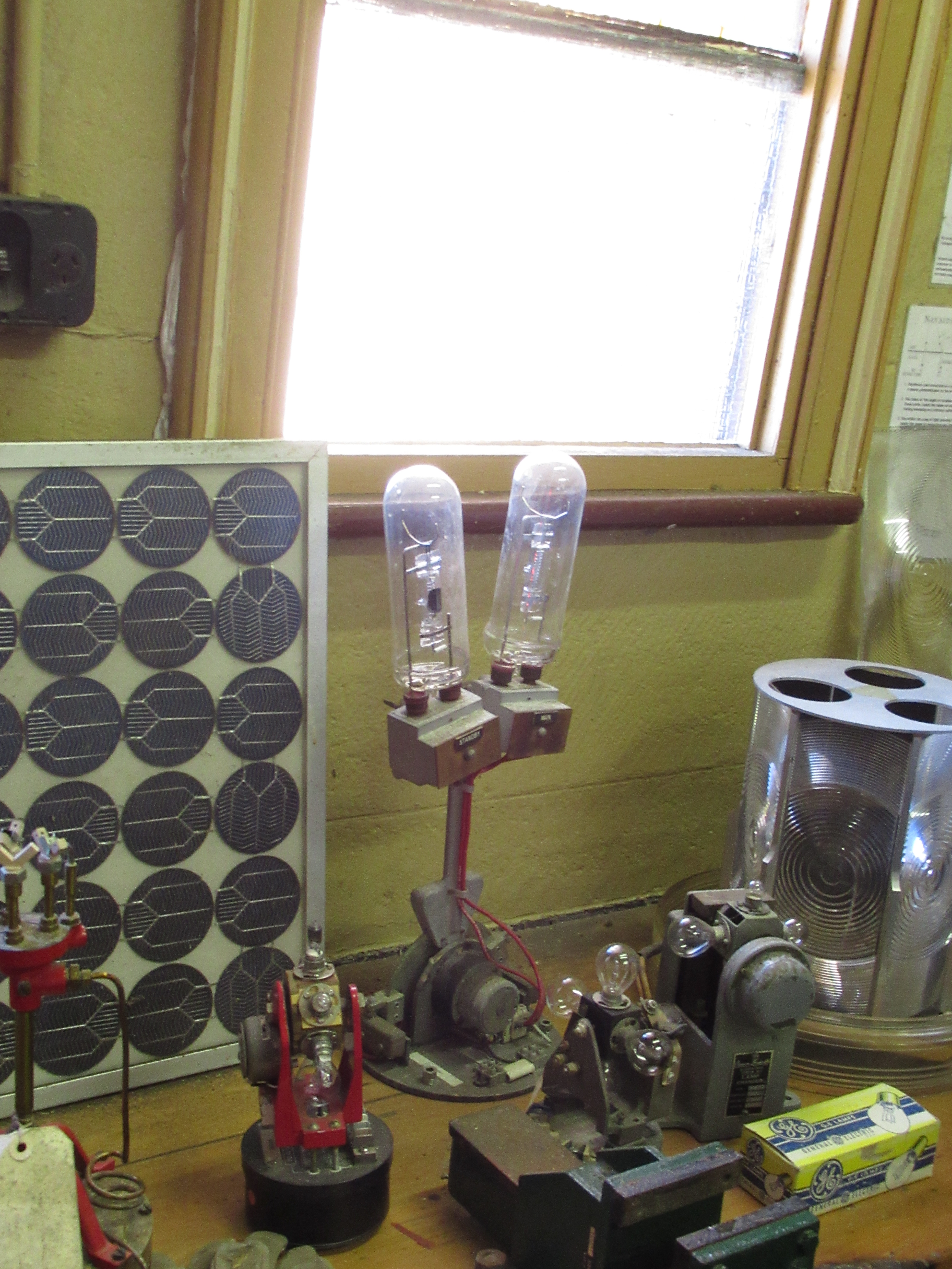
But nevertheless, Barrenjoey stands at 29 m and is 113 m above sea level. The Barrenjoey Peninsula is at Palm Beach, an hour’s drive north of Sydney. The lighthouse is at the entrance to Pittwater, Broken Bay and the Hawkesbury river. The current structure was built between 1879-1881, the first light station was only oil lamps on two wooden towers and stood between 1865 and 1881. The lamp is a Fresnel Stationary lens with a 100 W 24 volt quartz-iodine tungsten lamp. I will write a post about Fresnel lenses one day as they revolutionised lighthouses. As well as still being an active navigational aid, it commands a truly stunning piece of coastline. And yes, if it look familiar, it is because it’s the lighthouse you can see in Home and Away.
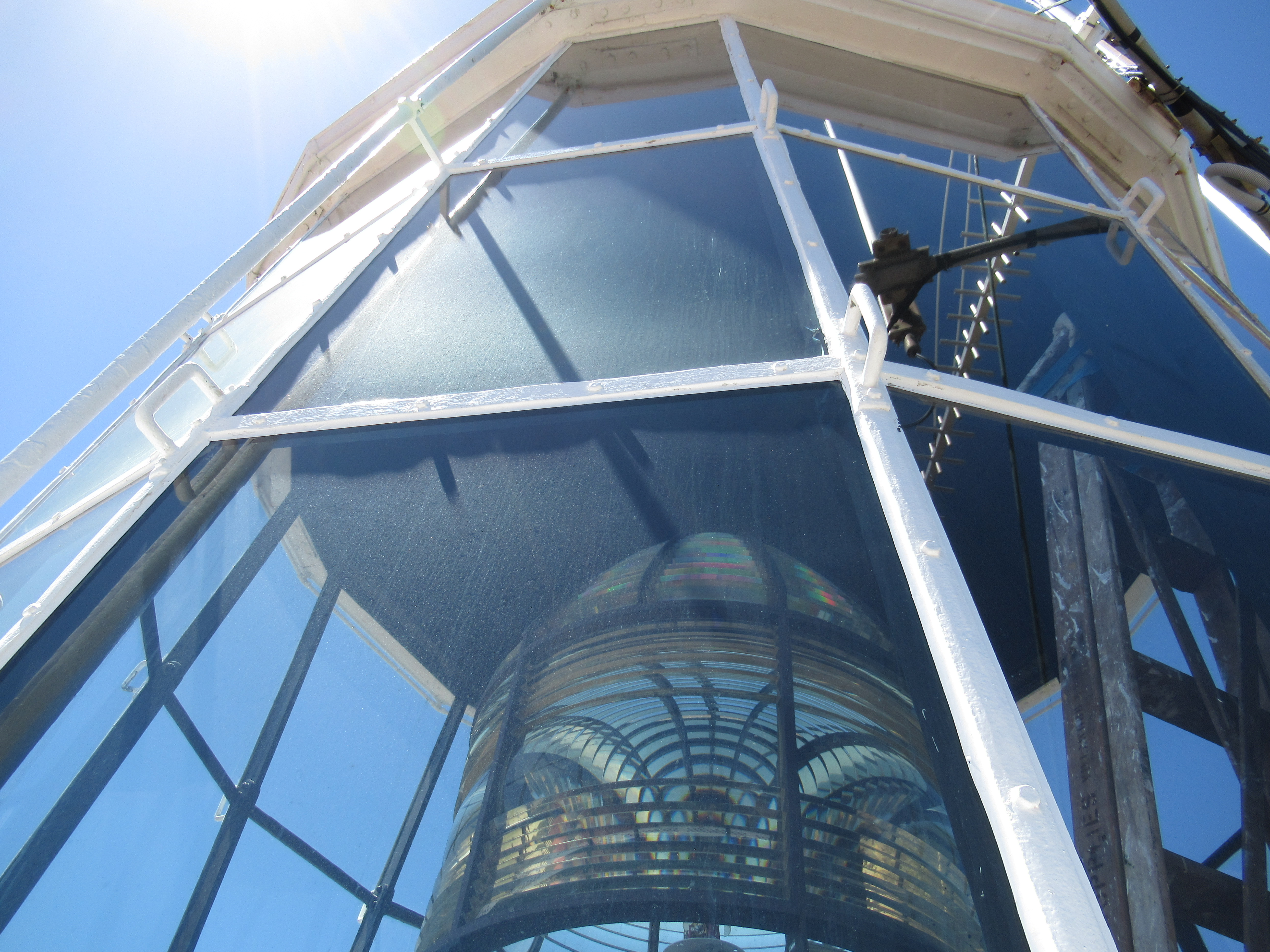
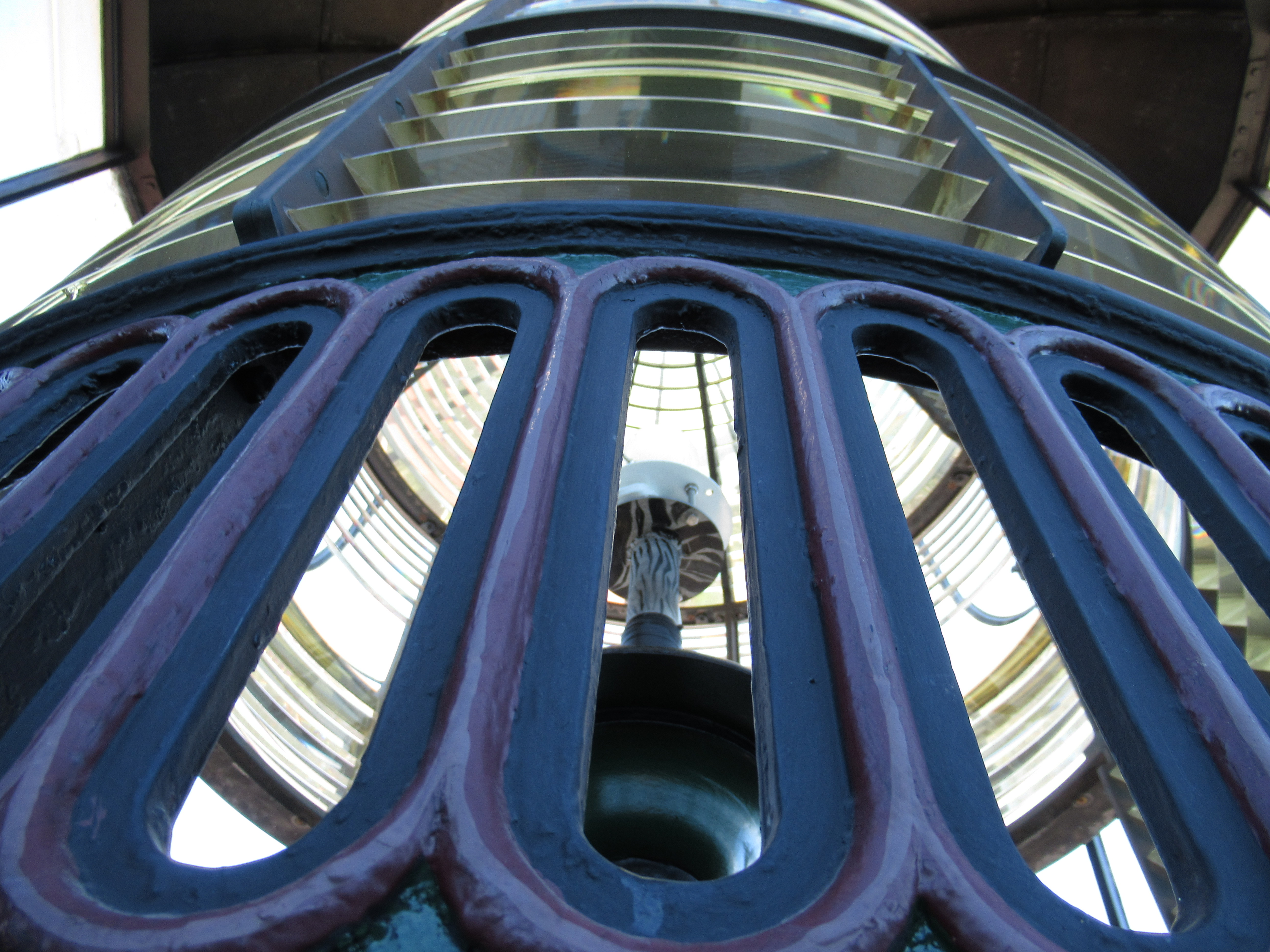

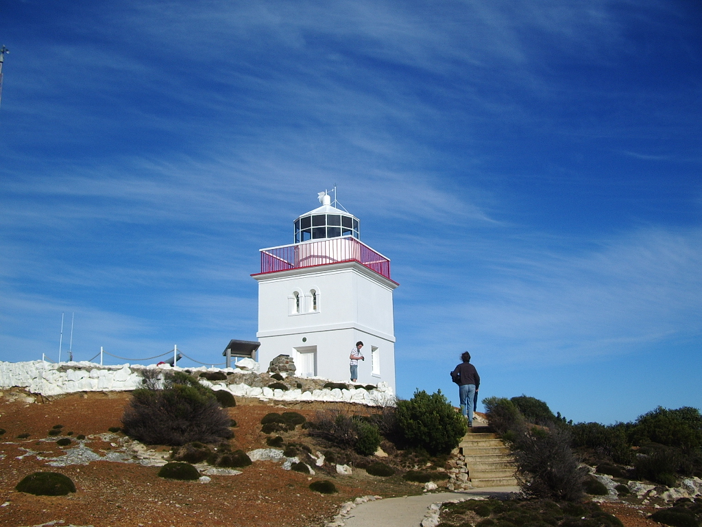
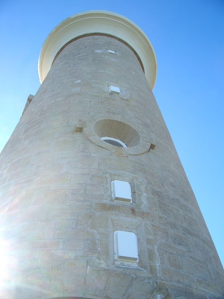
Cape Borda
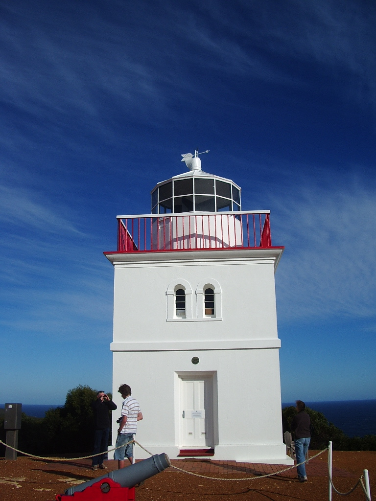
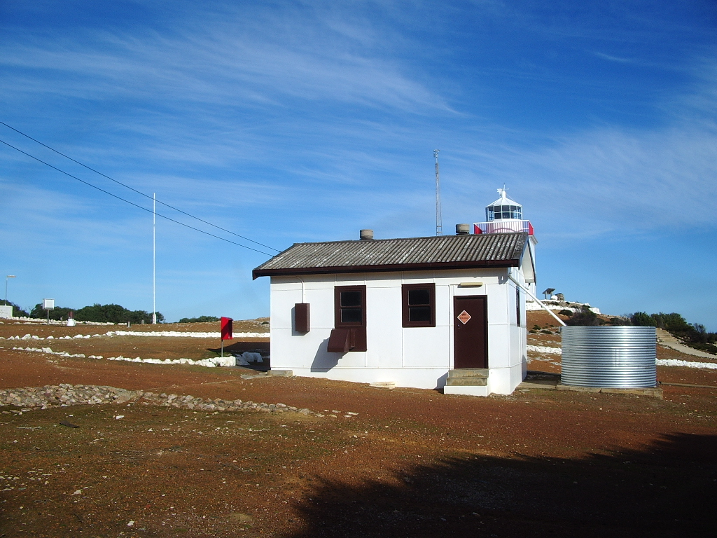
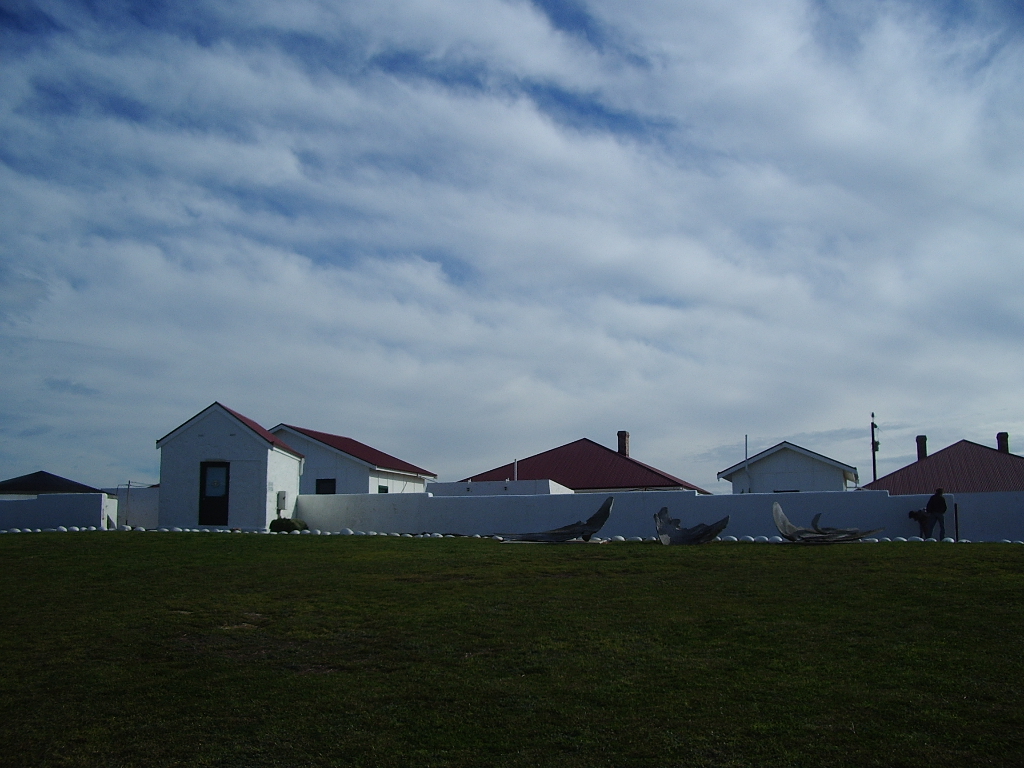
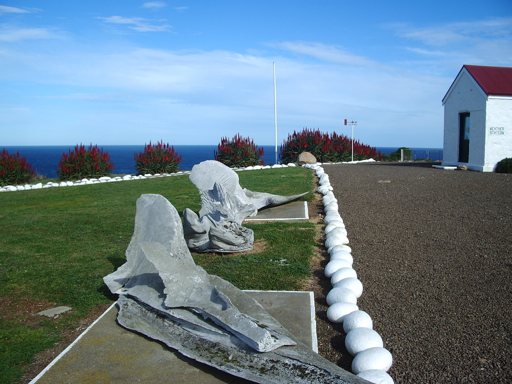
Jumping over and south now, to the first of our ‘Cape’ lighthouses – capes really are a great place for a lighthouse. Cape Borda is also the first of three Kangaroo Island lighthouses, you’ll meet the others a little later. Kangaroo Island is off the southern coast of South Australia. Cape Borda lighthouse stands at 155 metres above sea level and is one of only three square stone lighthouses in Australia. The structure itself isn’t tall because the cliffs it stands on are so high. It was first lit in 1858 and is the last traditionally operated lighthouse in South Australia, meaning it still operates on its rotating platform with a lens, though it is automated. Its four rotating beams appear as four flashes.
Cape Bruny
We’re jumping even further down south for our third lighthouse. Cape Bruny is a very different location to Barrenjoey for example. Well it was on the day I was there anyway.
Bruny Island is off the coast of Tasmania, just south of Hobart, and the lighthouse does really feel like it’s clinging to the edge of the world. The lighthouse dates to 1836-1837, and when it was first lit in 1838 it was only Tasmania’s third lighthouse. It stands 114 metres above sea level on Bruny’s wild cliffs. It is no longer lit, with its duties being moved to a nearby solar light in 1996.
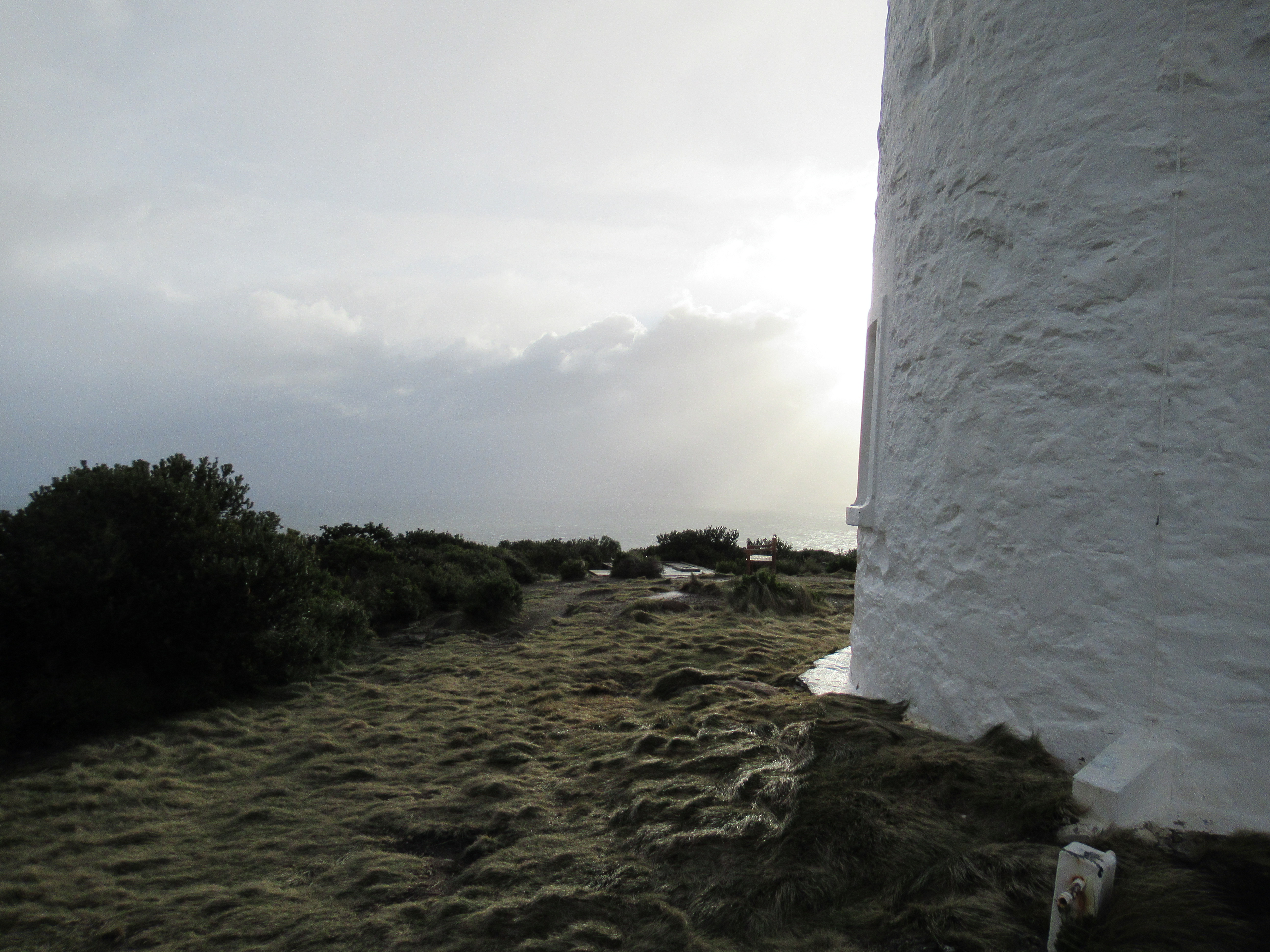
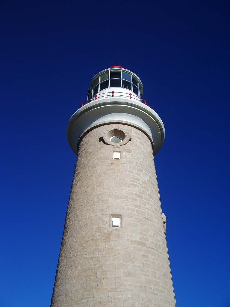
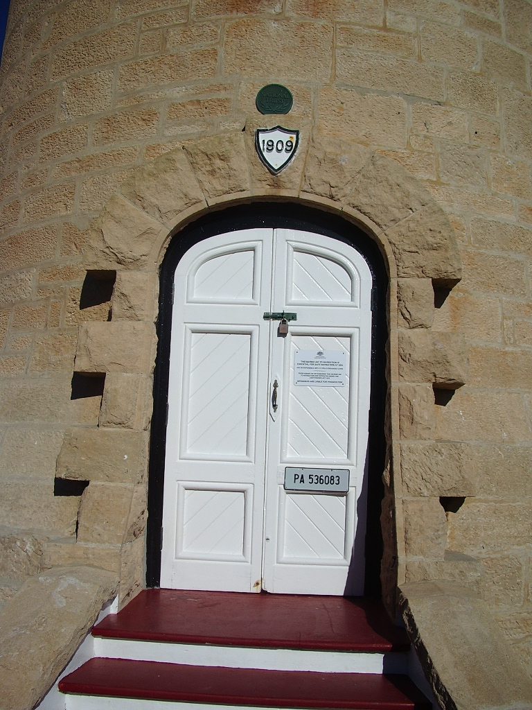
Cape Du Couedic
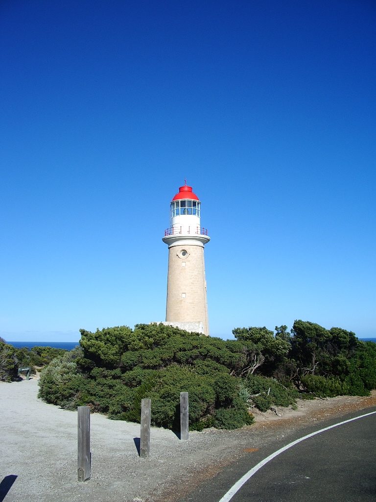
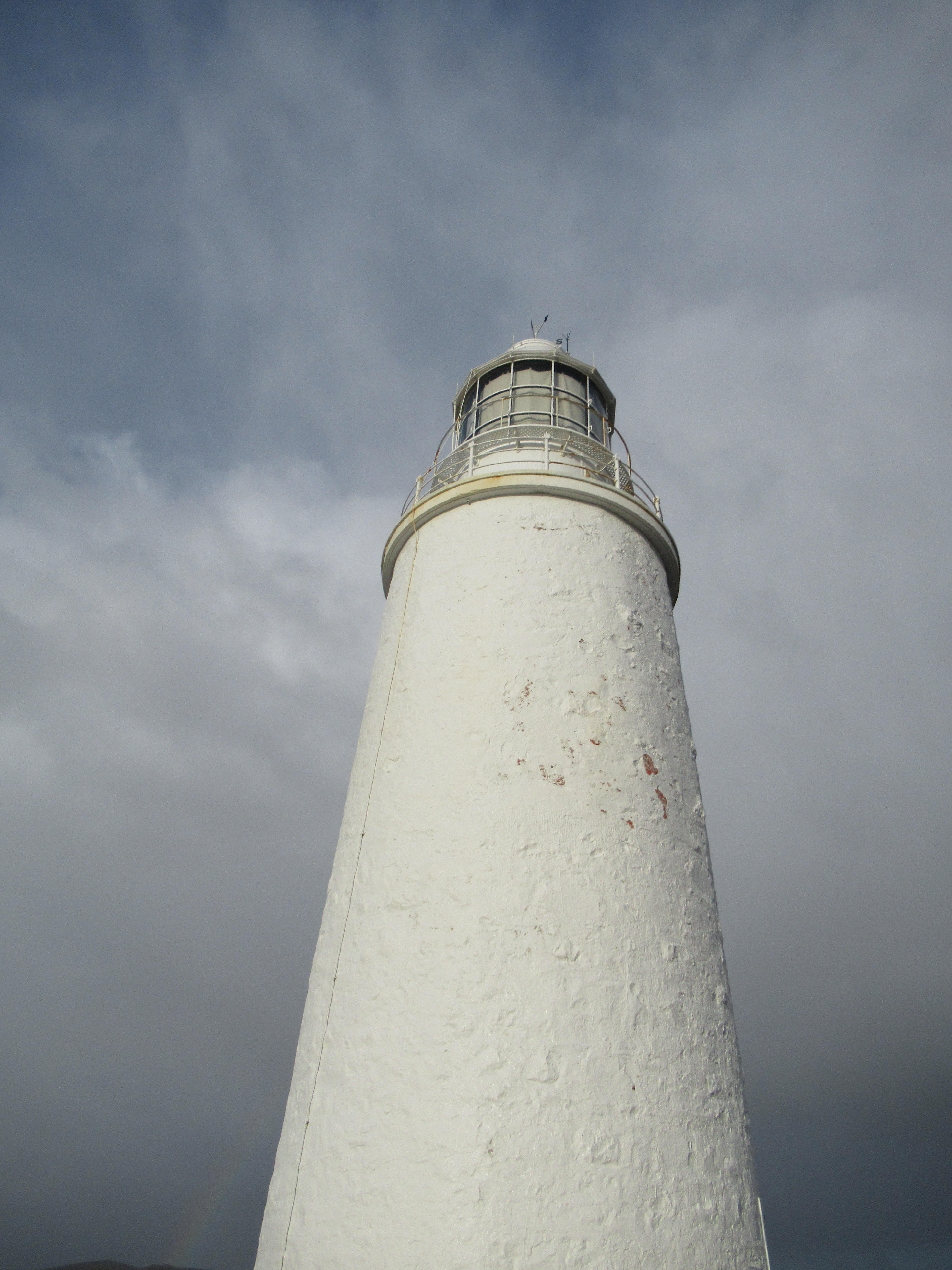
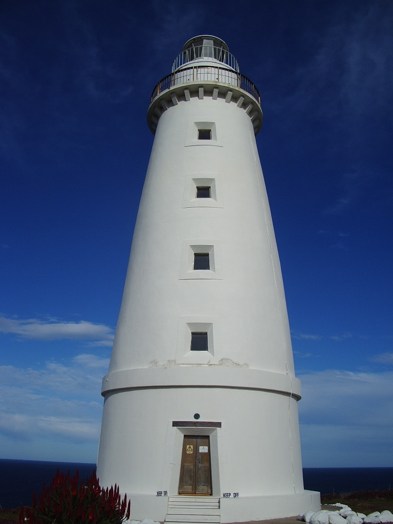
Cape Du Couedic is our second Kangaroo Island lighthouse. Built between 1906–1909 Cape Du Couedic is made of over 2000 pieces of local stone. The tower itself is 25 metres high and has an elevation of 103 metres above sea level. Like Cape Bardon, Cape Du Couedic is still active and automated, but it operates with a modern light and no rotation. The light shows two flashes every ten seconds. It still has the Fresnel lens, made by Chance Brothers.
Cape Jaffa
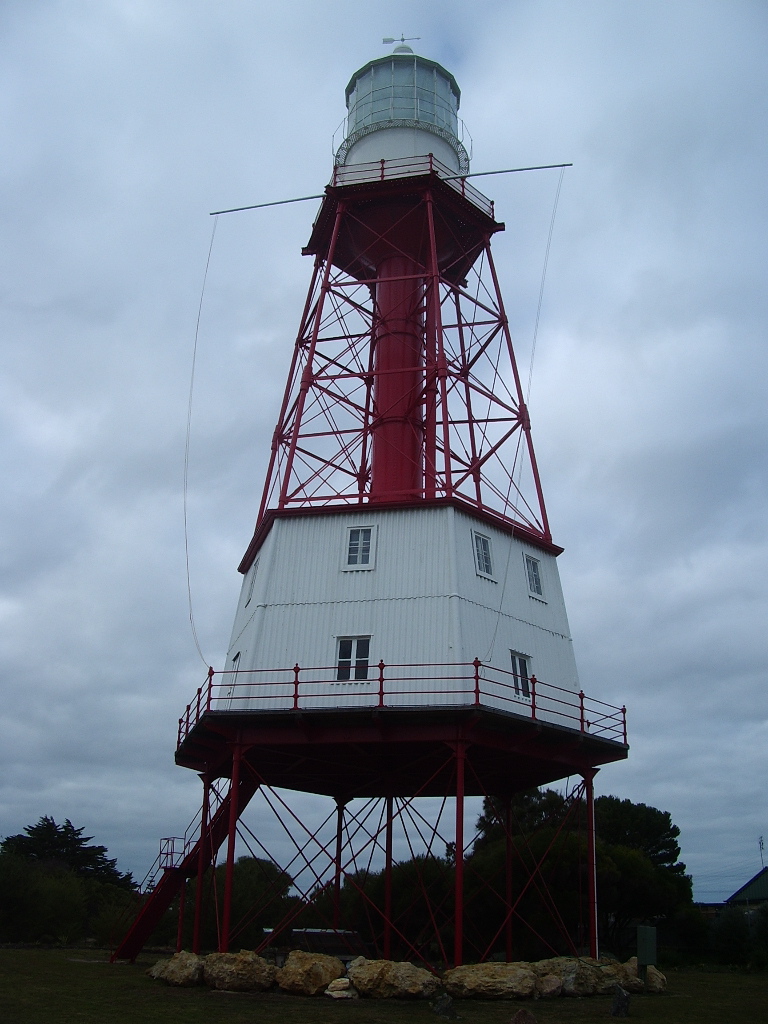
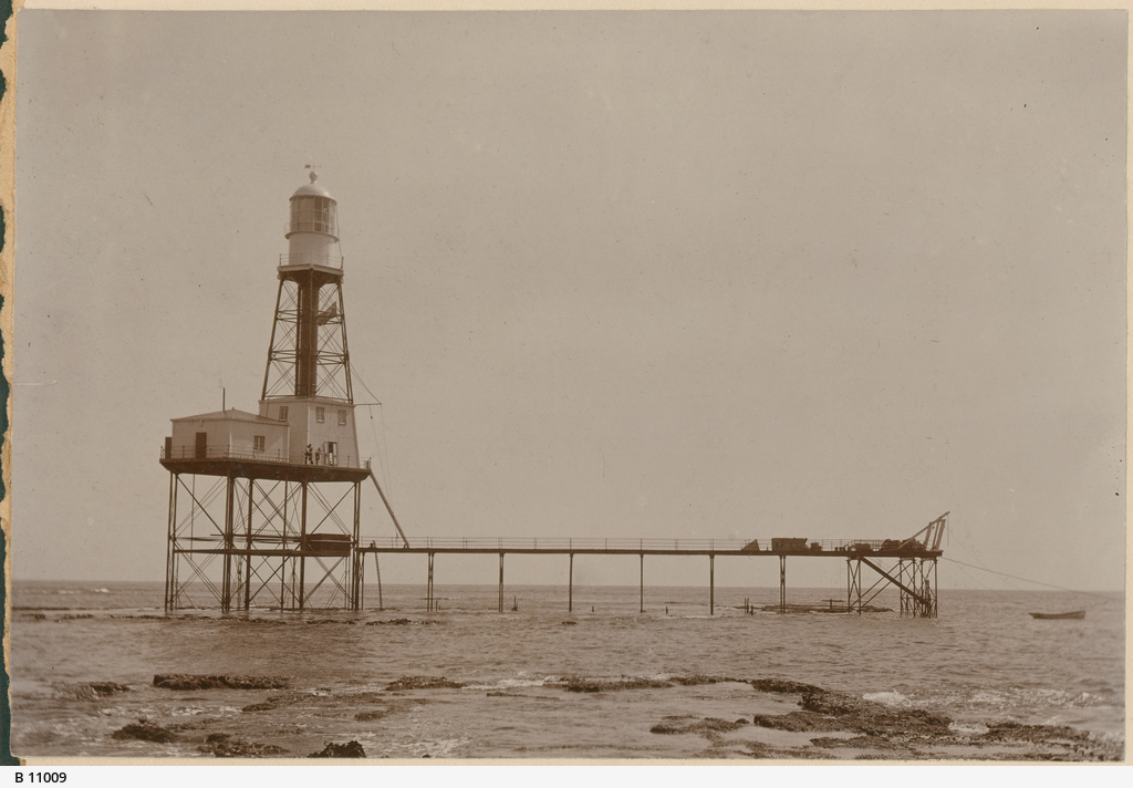
We’re staying in South Australia, but we’re moving back to the mainland. Cape Jaffa is visually unusual amongst all other lighthouses because of the amount of metal as part of its structure. This is because it was originally located on the Margaret Brock Reef 15 km off the coast south west of Cape Jaffa, which is in south eastern South Australia. It was moved back to the main land in 1976. It was built in 1872 and stood at 41 metres high. The structure is a Wells Screw Pile, which was suited to its condition on a reef. The Chance Bros. Fresnel lamp could be seen 40 km out to sea. The 8 room accommodation housed two lighthouse keepers and their families. When the lighthouse was decommissioned in 1973 it was donated to the National Trust of South Australia, who undertook to have it rebuilt on Marine Parade in Kingston, South Australia. It is now a museum.
You can see it on its reef in c.1902 below
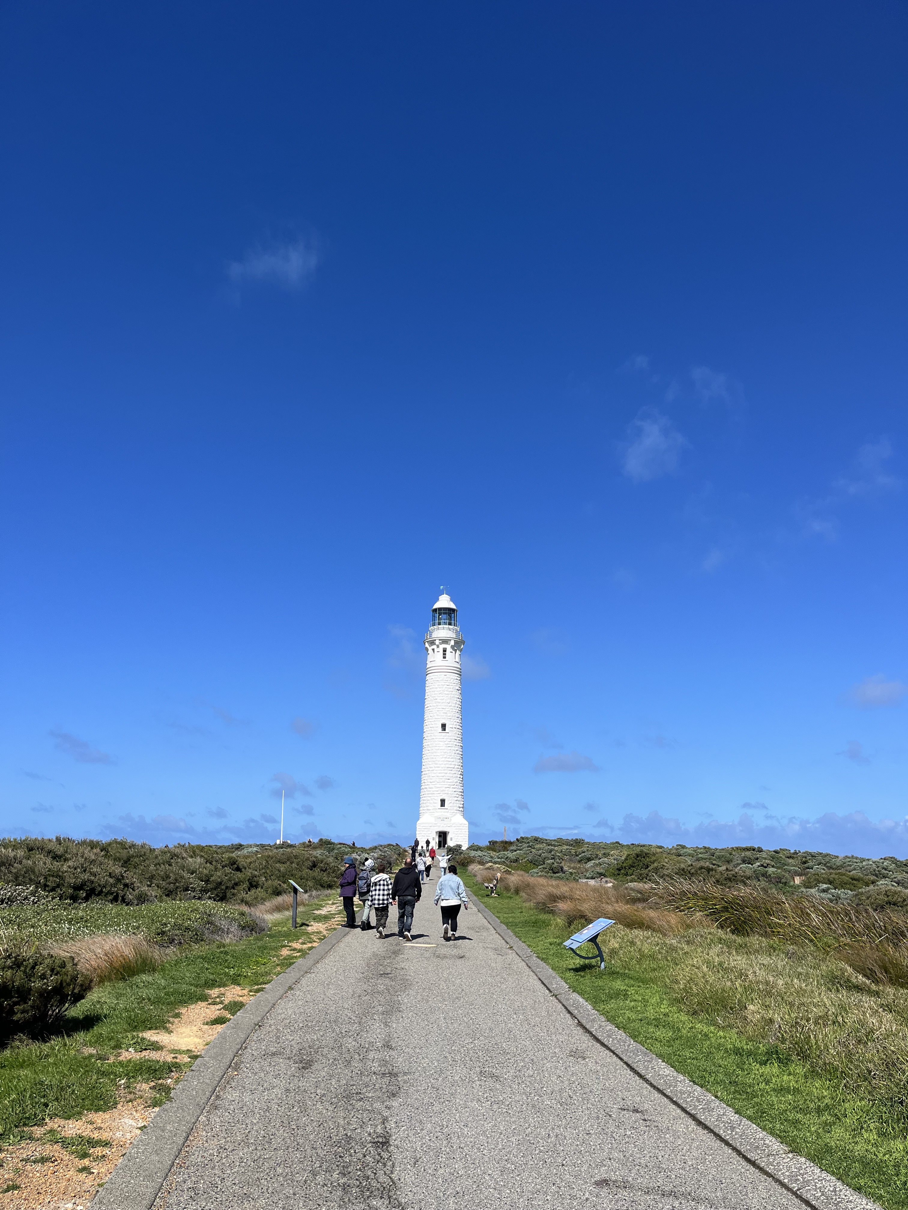
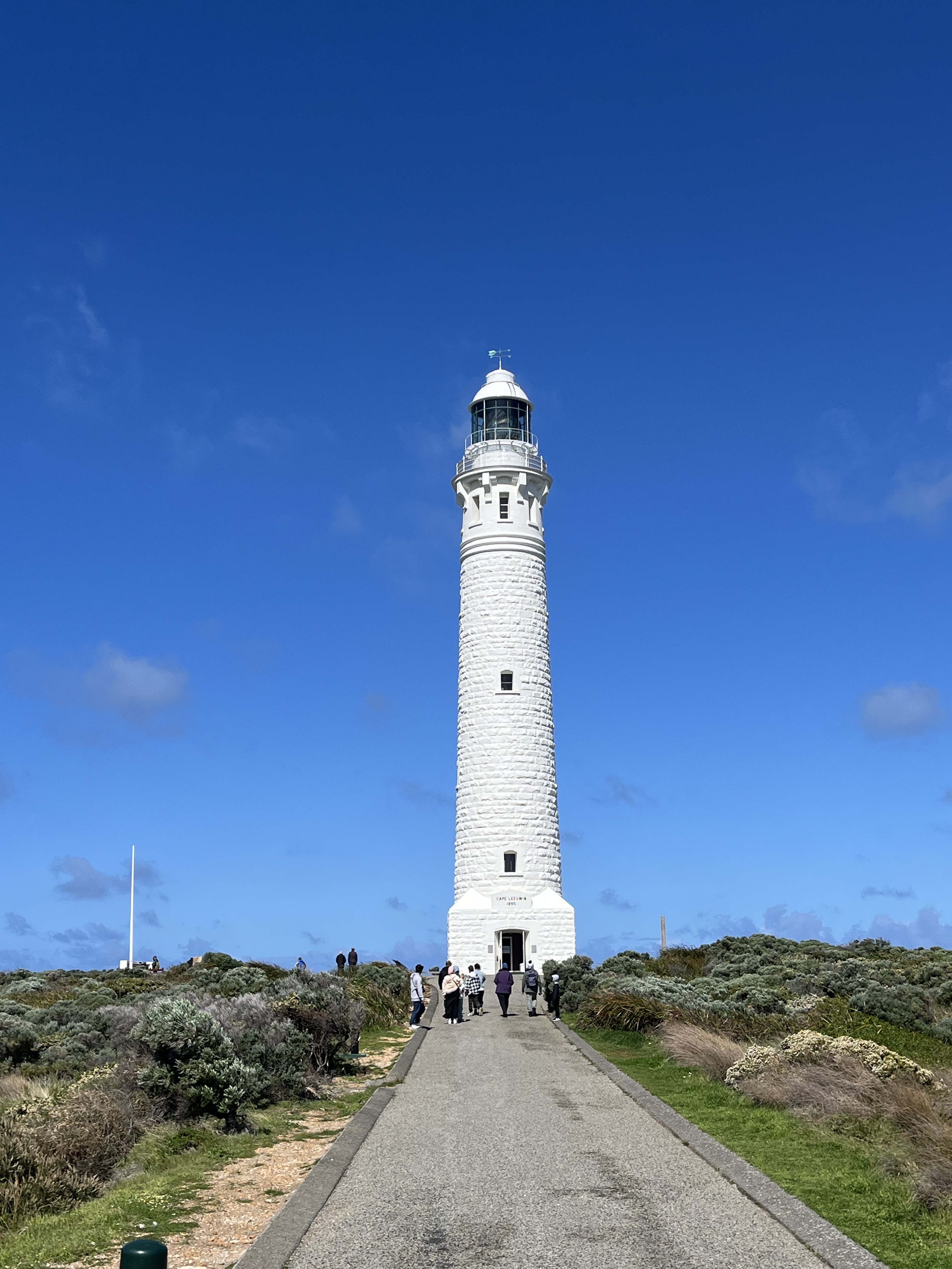
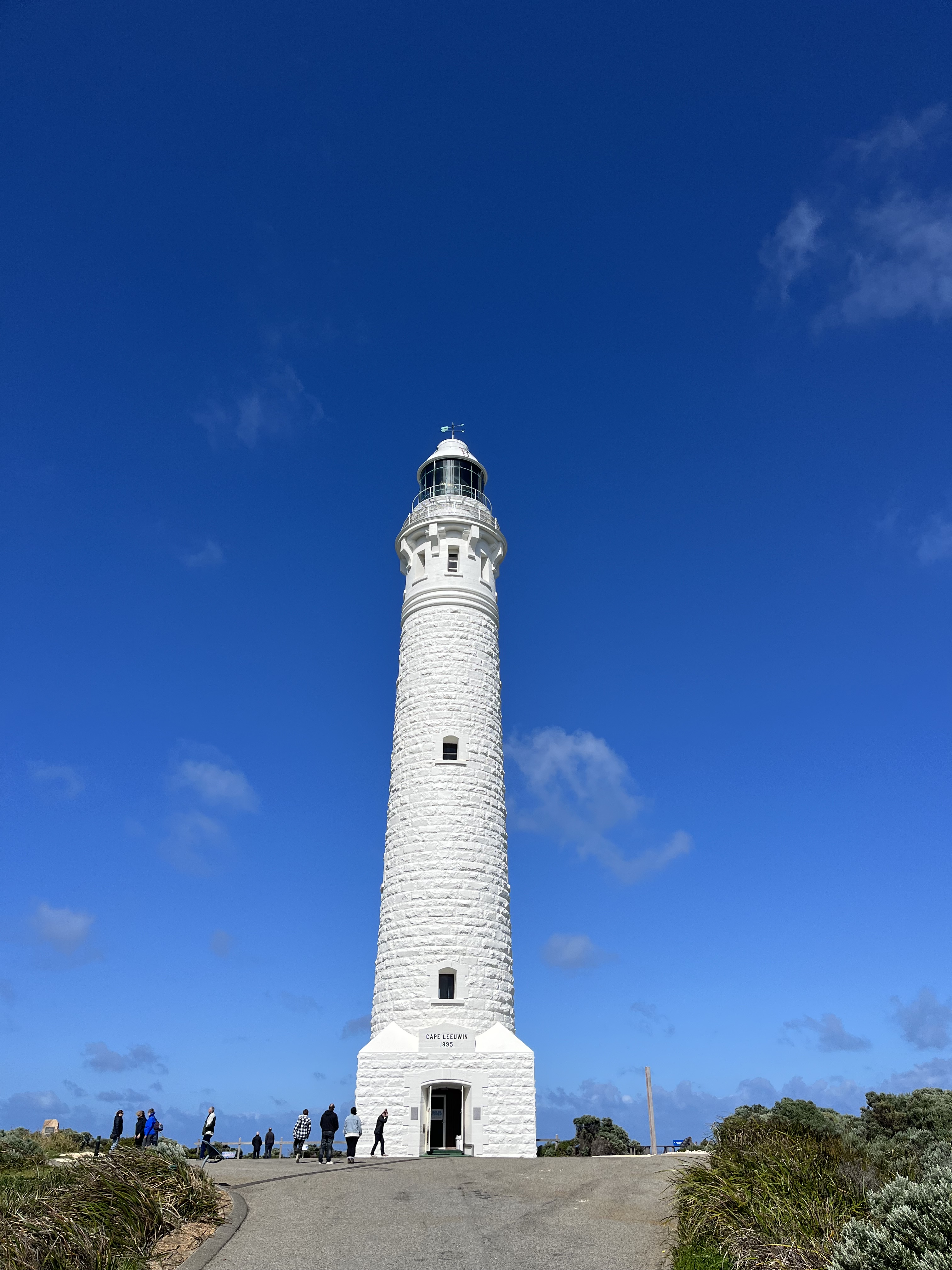
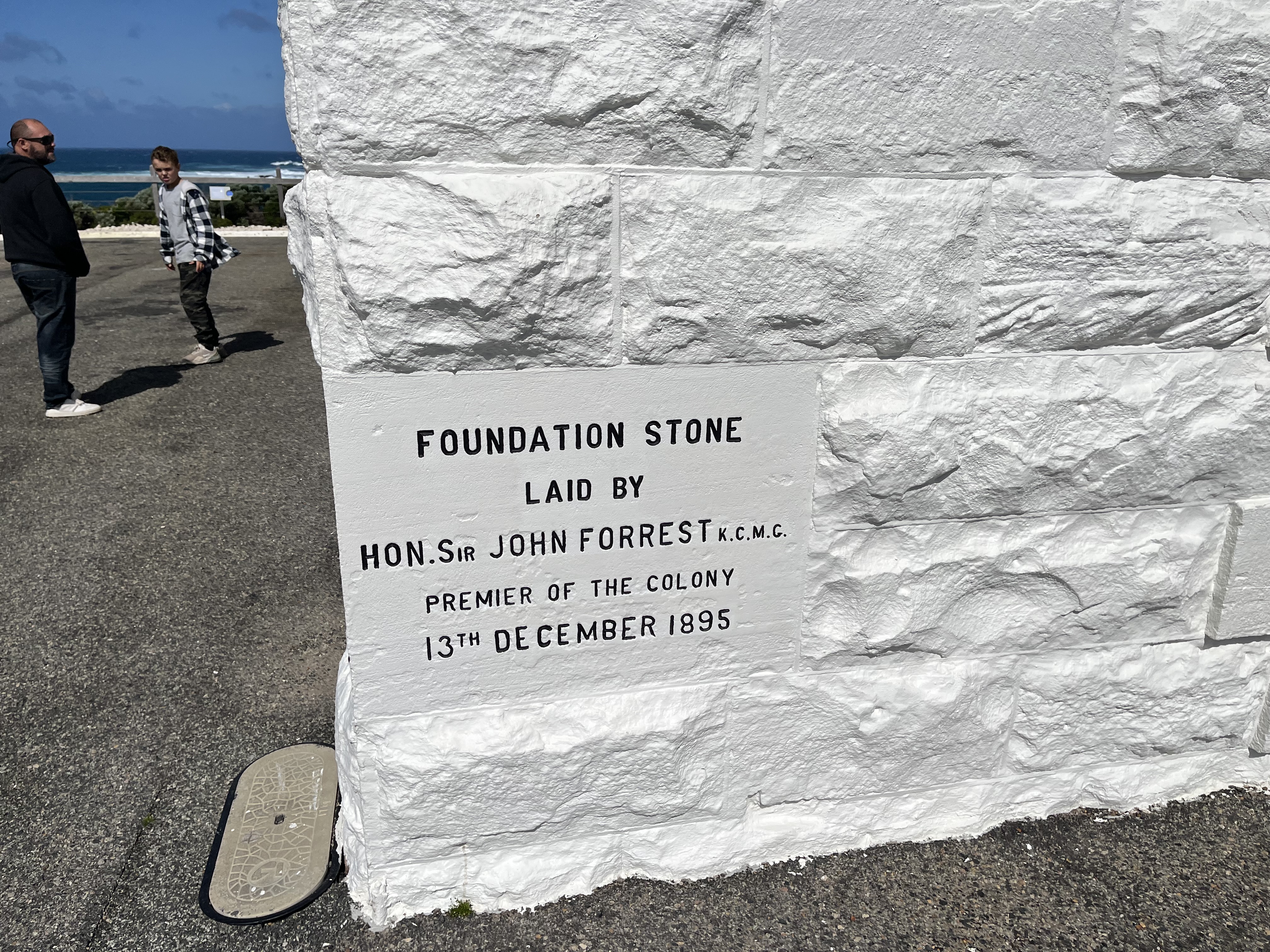
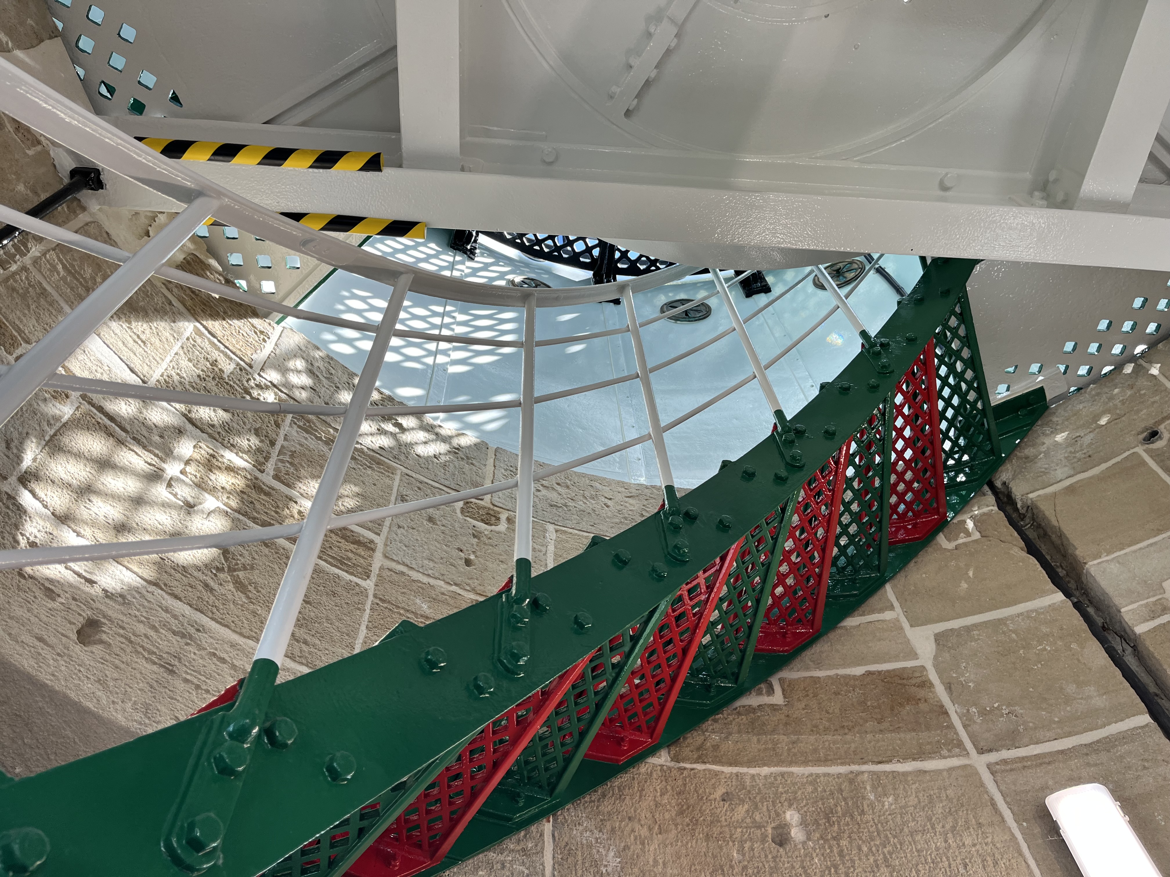
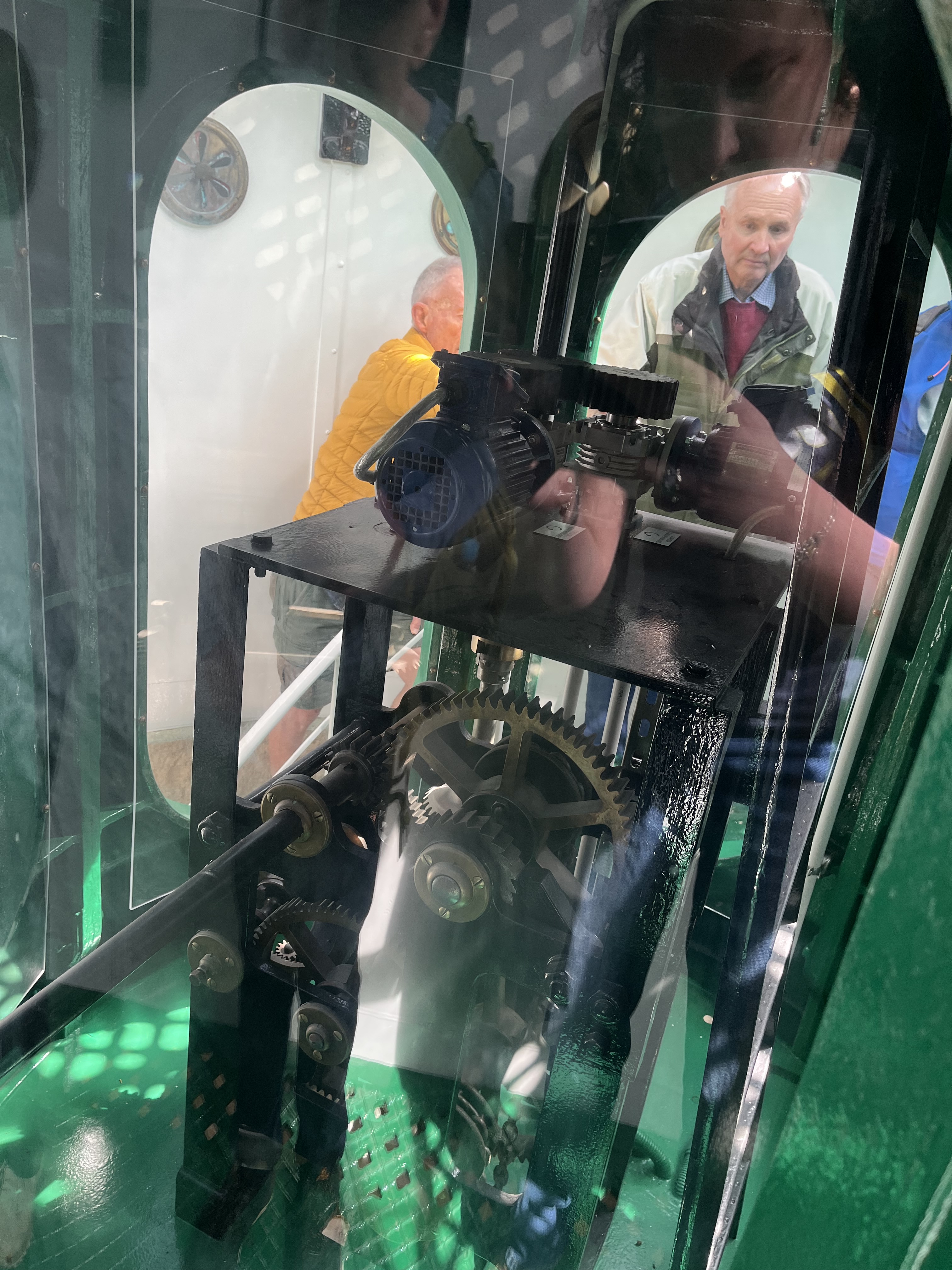
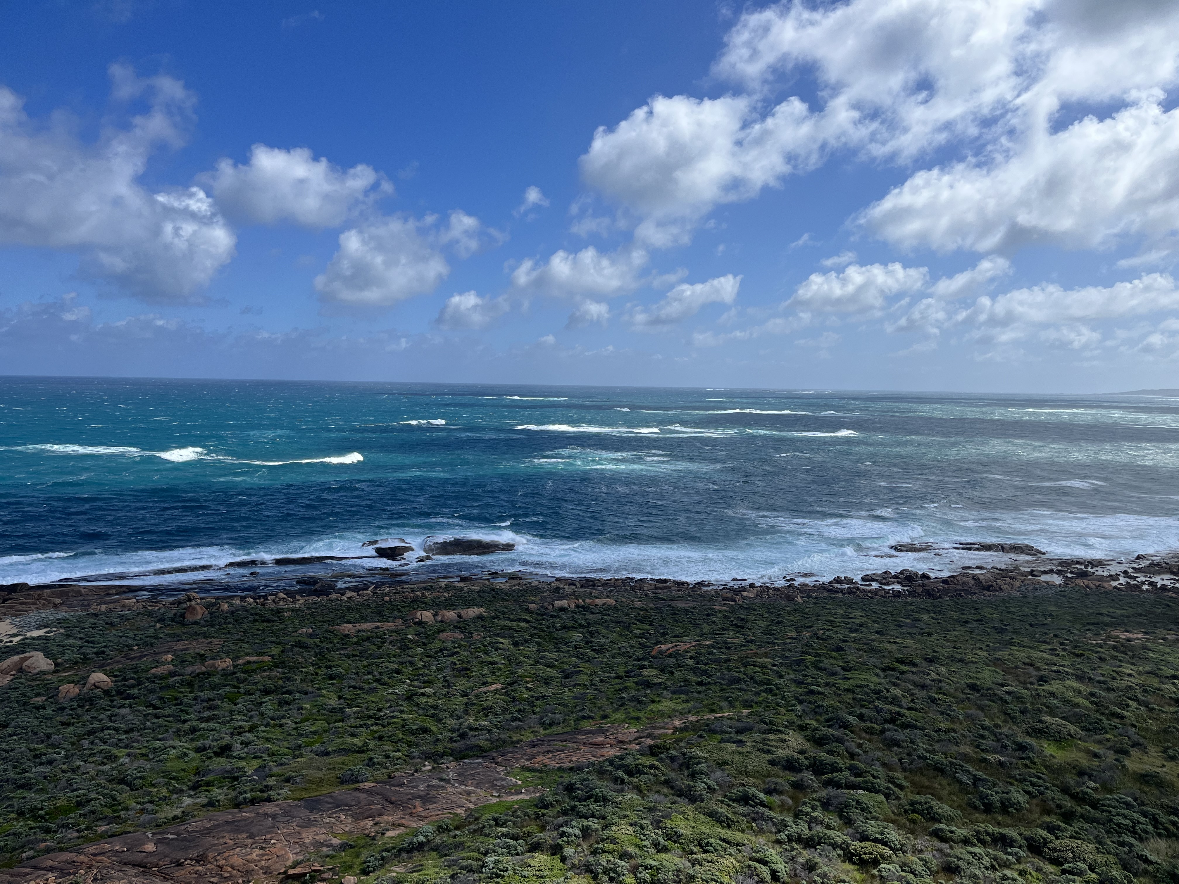
Cape Leeuwin
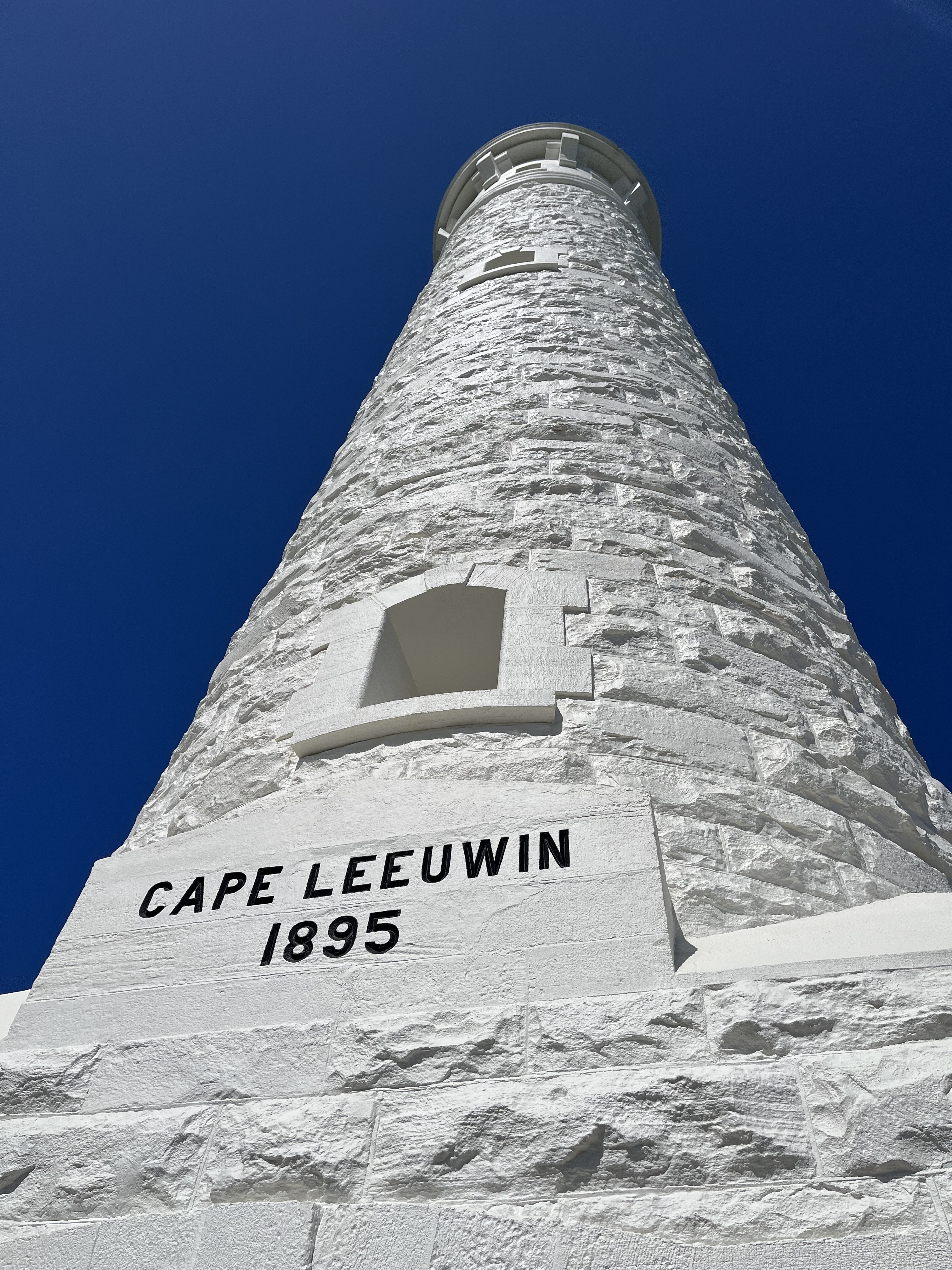
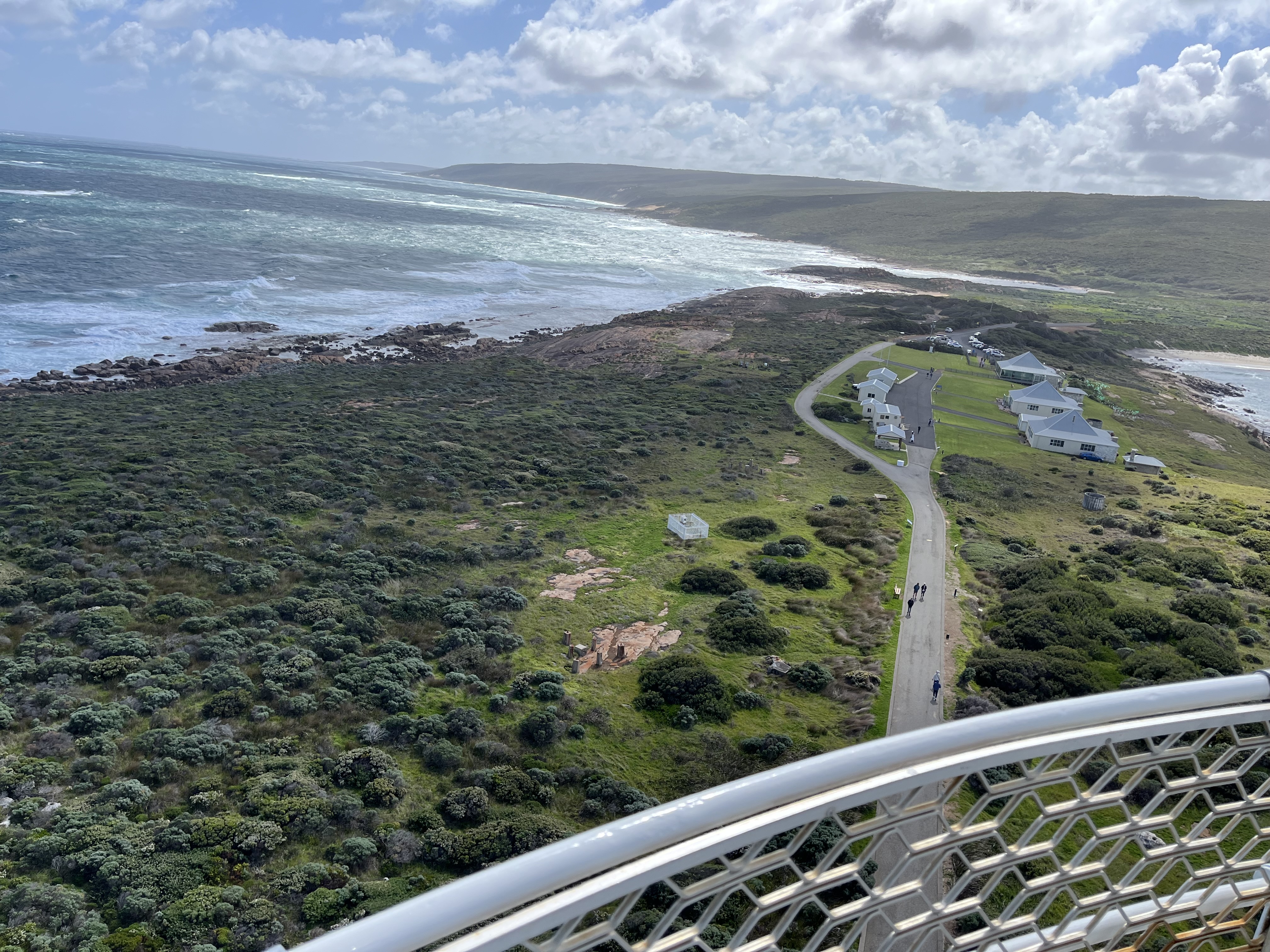
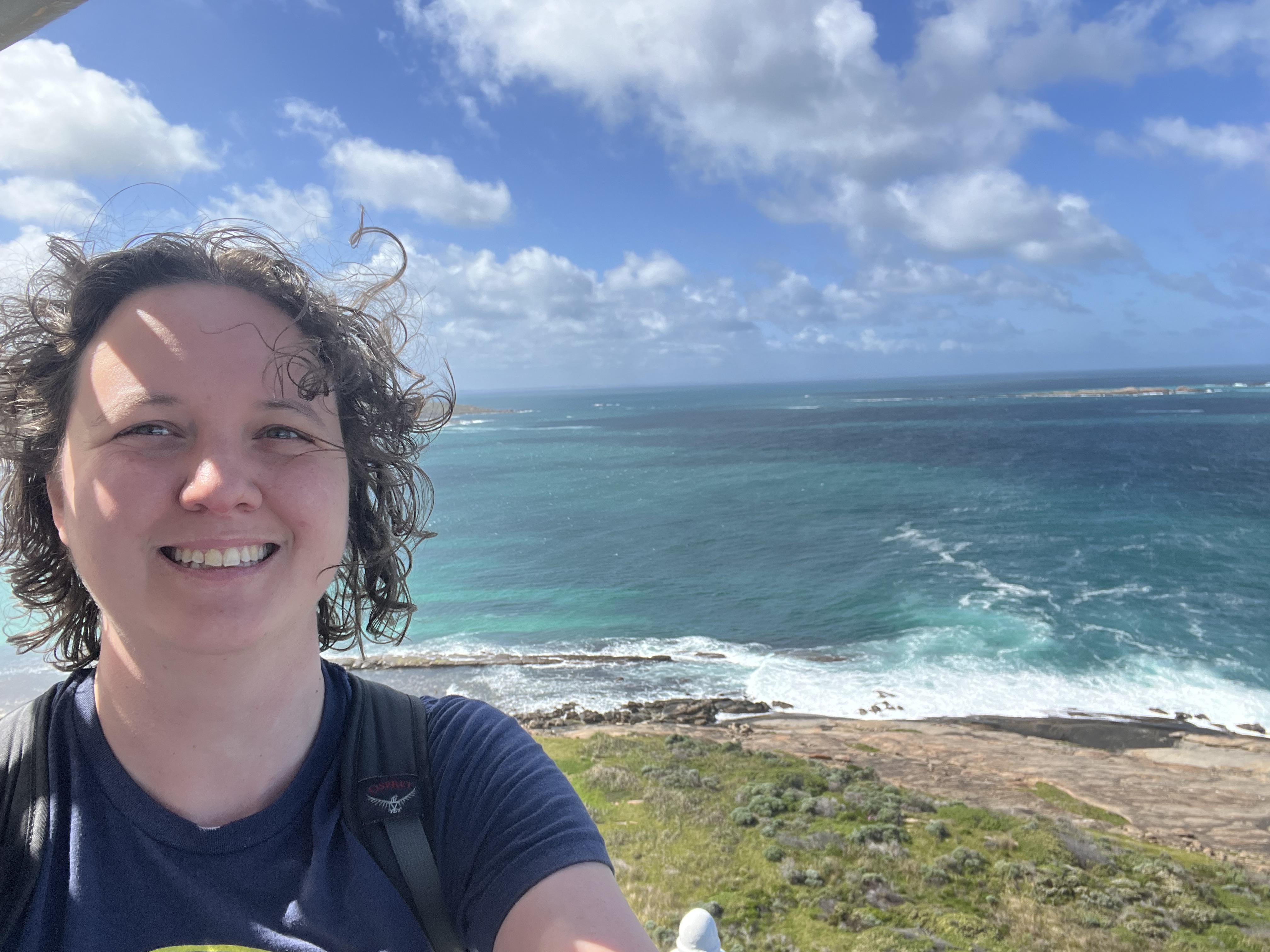
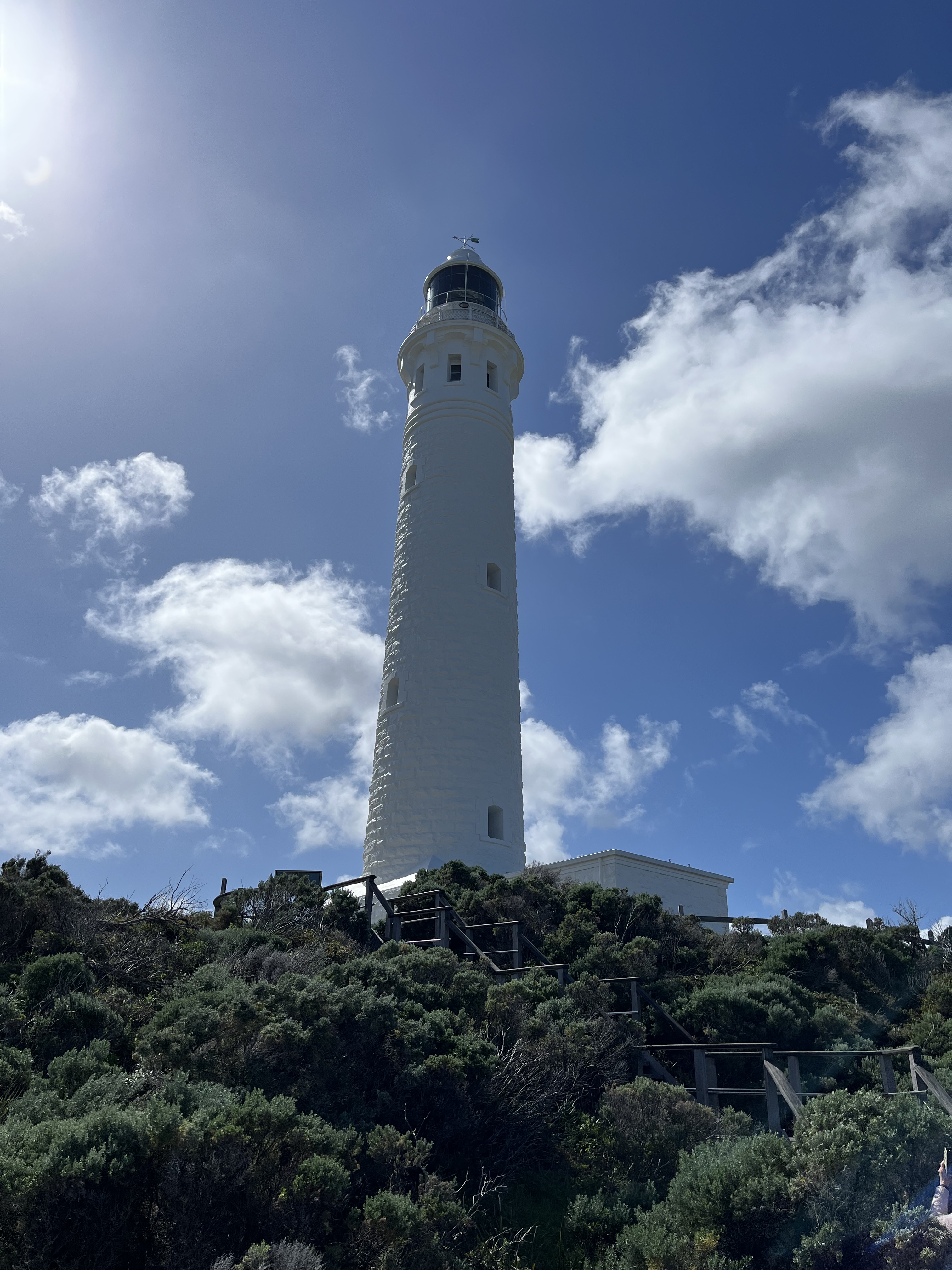
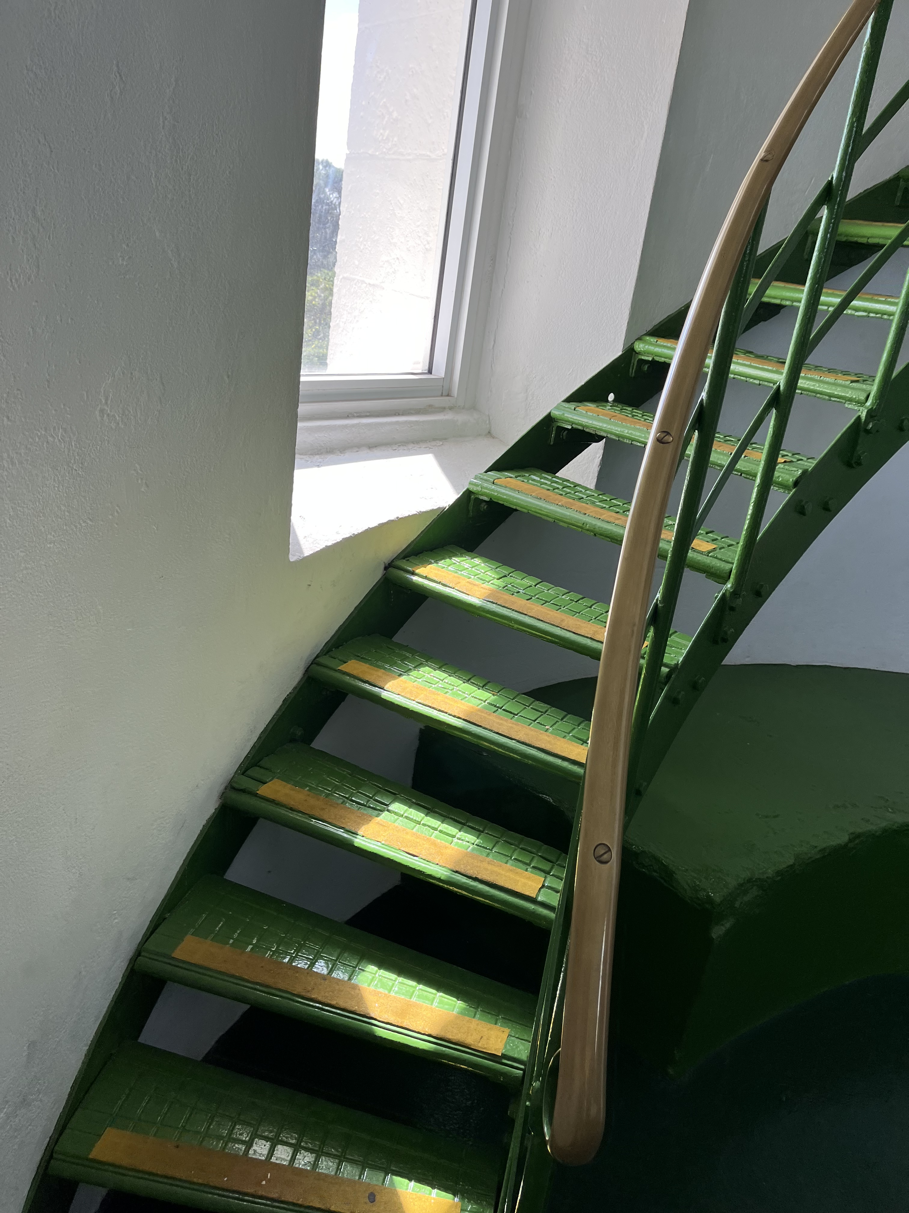
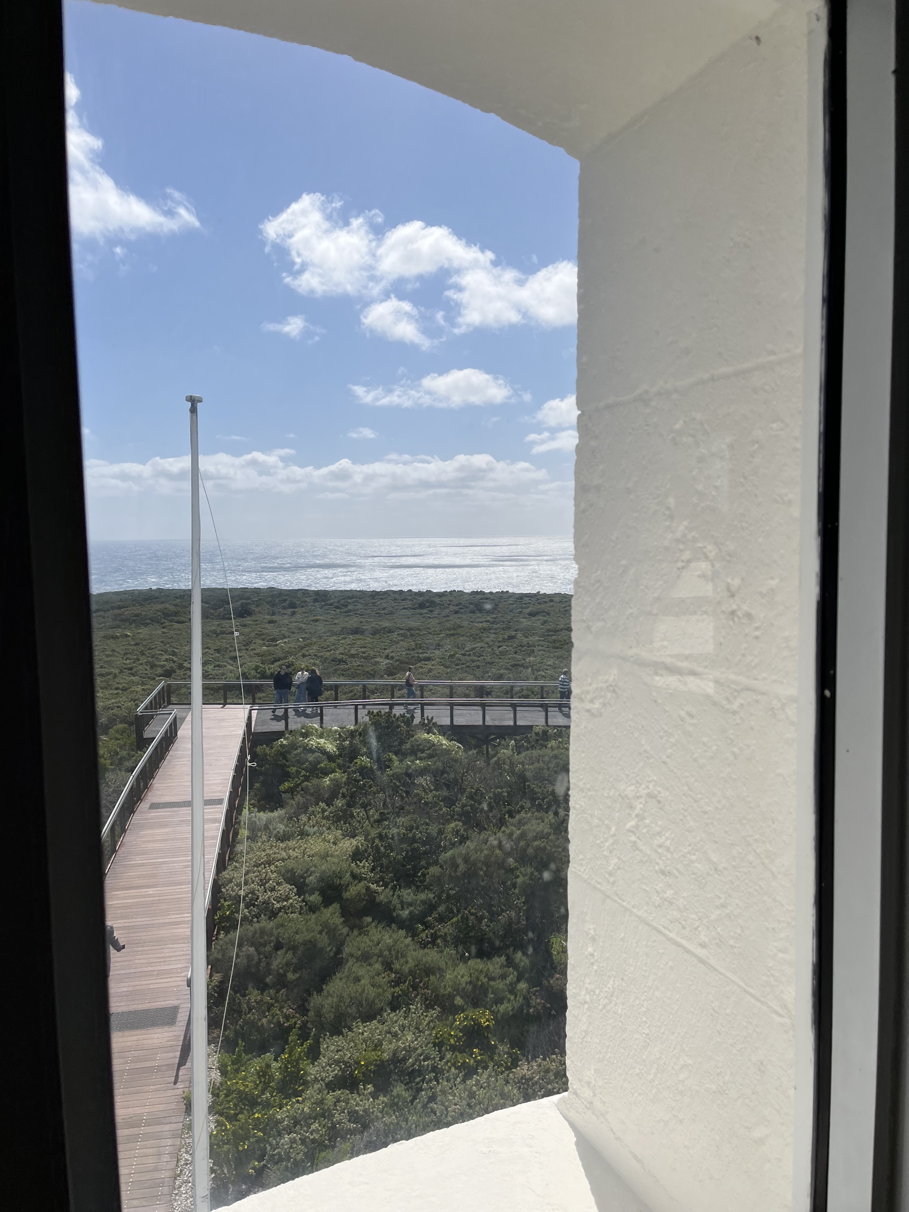
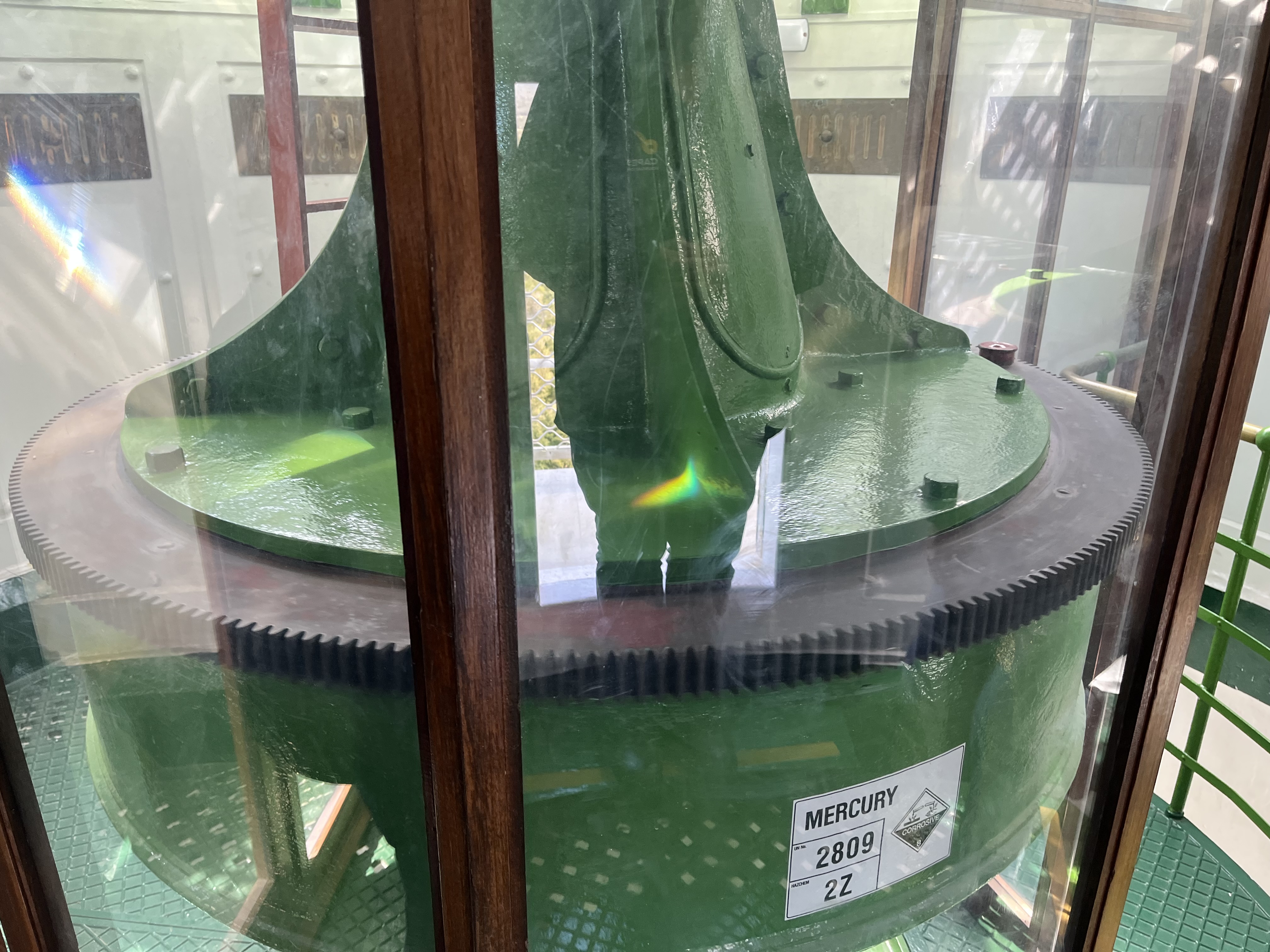
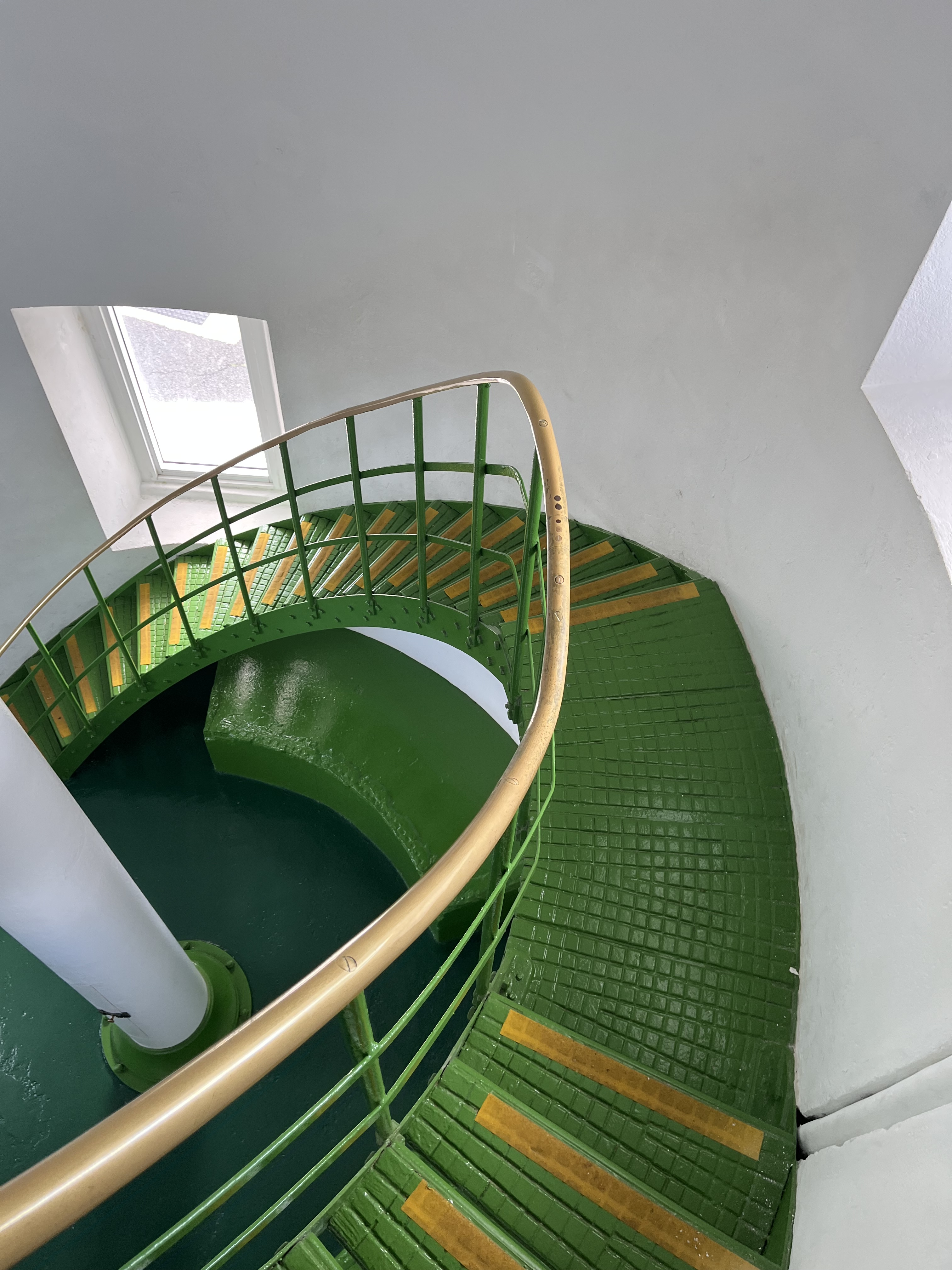
So we’re moving west now. Cape Leeuwin stands at the meeting point of the Indian and Southern Oceans at the very bottom of Western Australia, it’s the most south-westerly tip of all of Australia. Built in 1895, at 32 metres it’s the tallest lighthouse on mainland Australia. Its Chance Bros. Fresnel lamp rotates on a bath of mercury and was powered by kerosene (which had to be hauled up and down the stairs) and was rotated using a drop weight, which had to be hand wound, until 1982. It is now, thankfully, automated. It was personned until the early 90s. The light reaches 26 nautical miles out to sea.
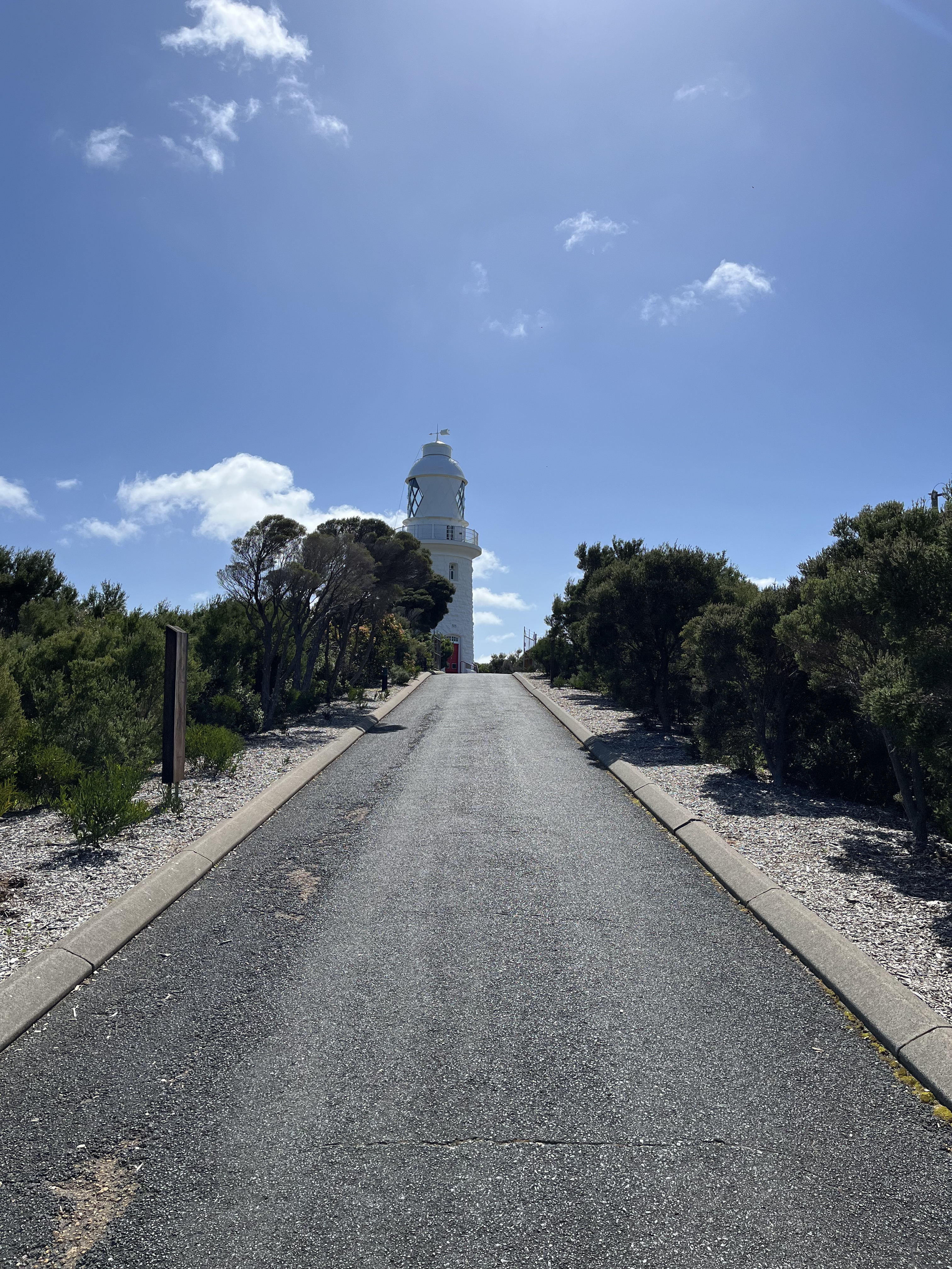
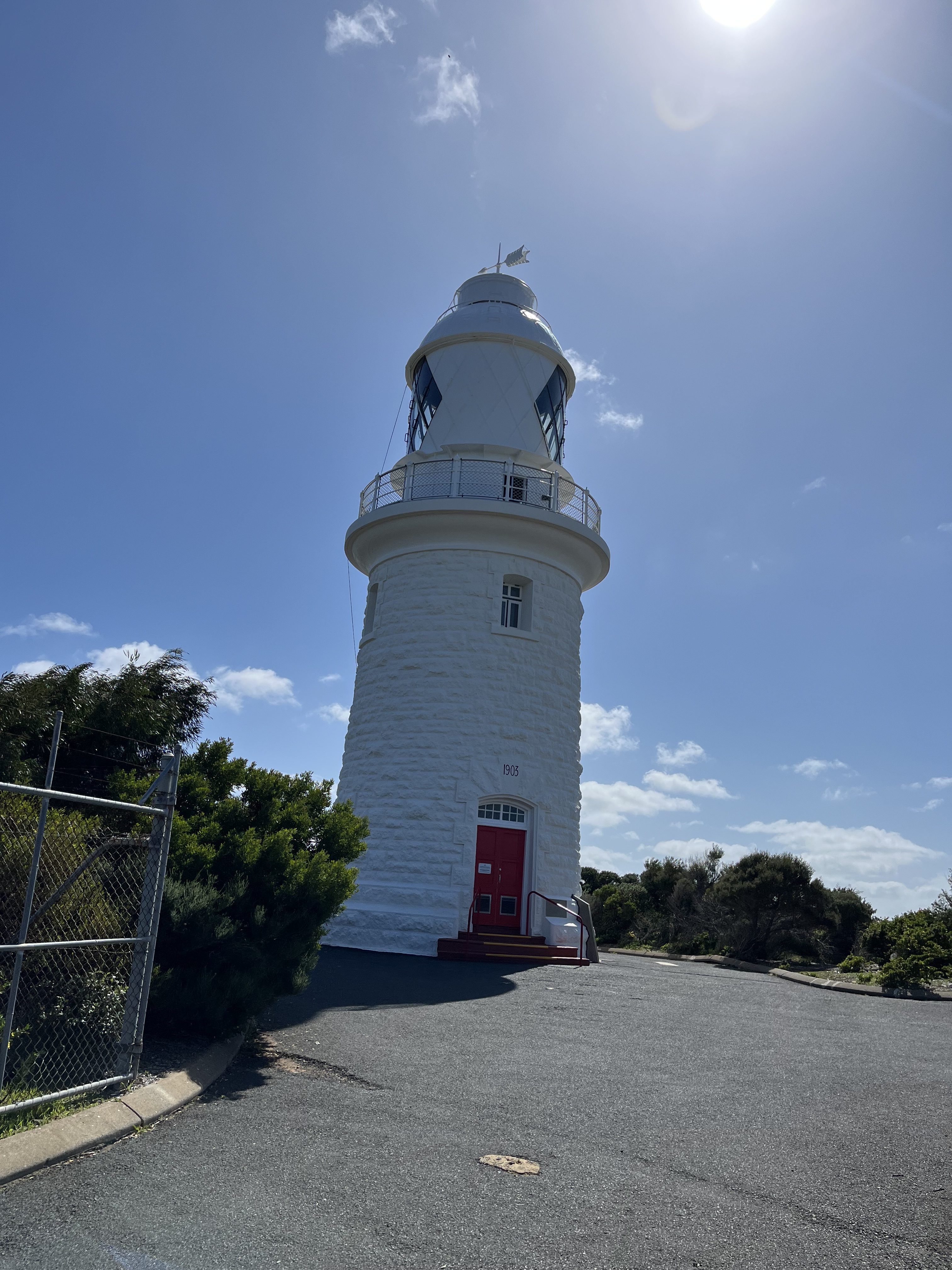
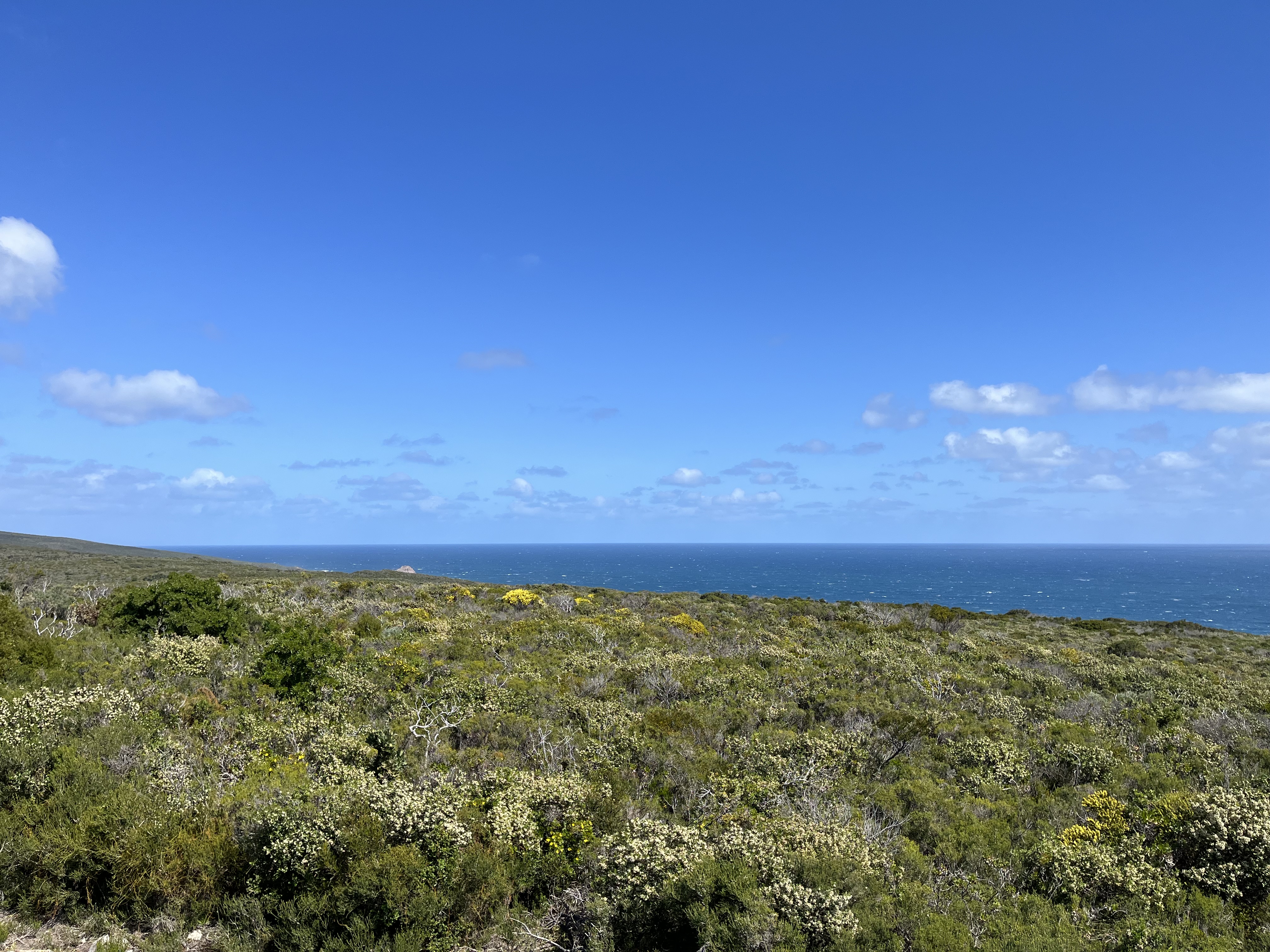
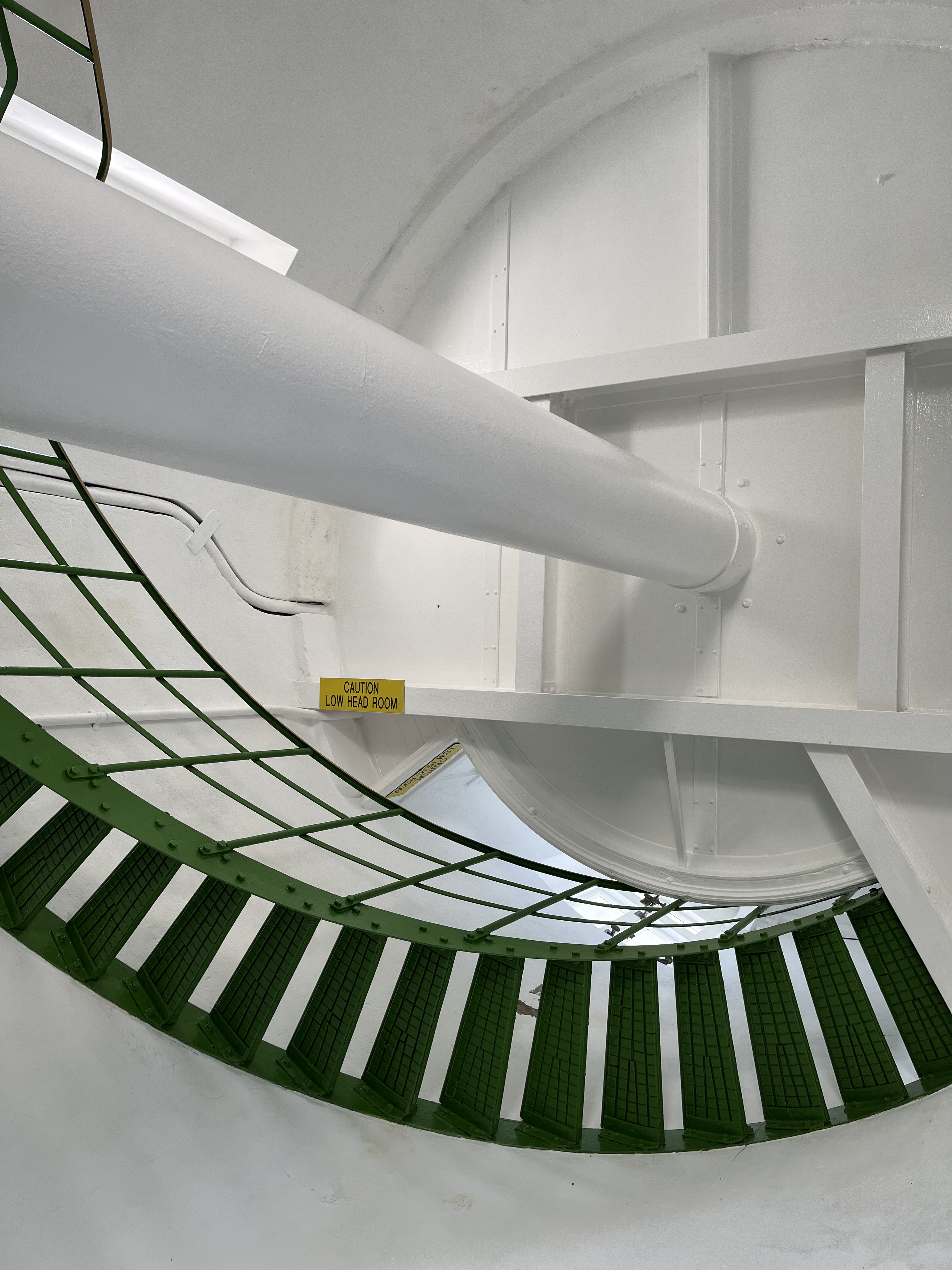
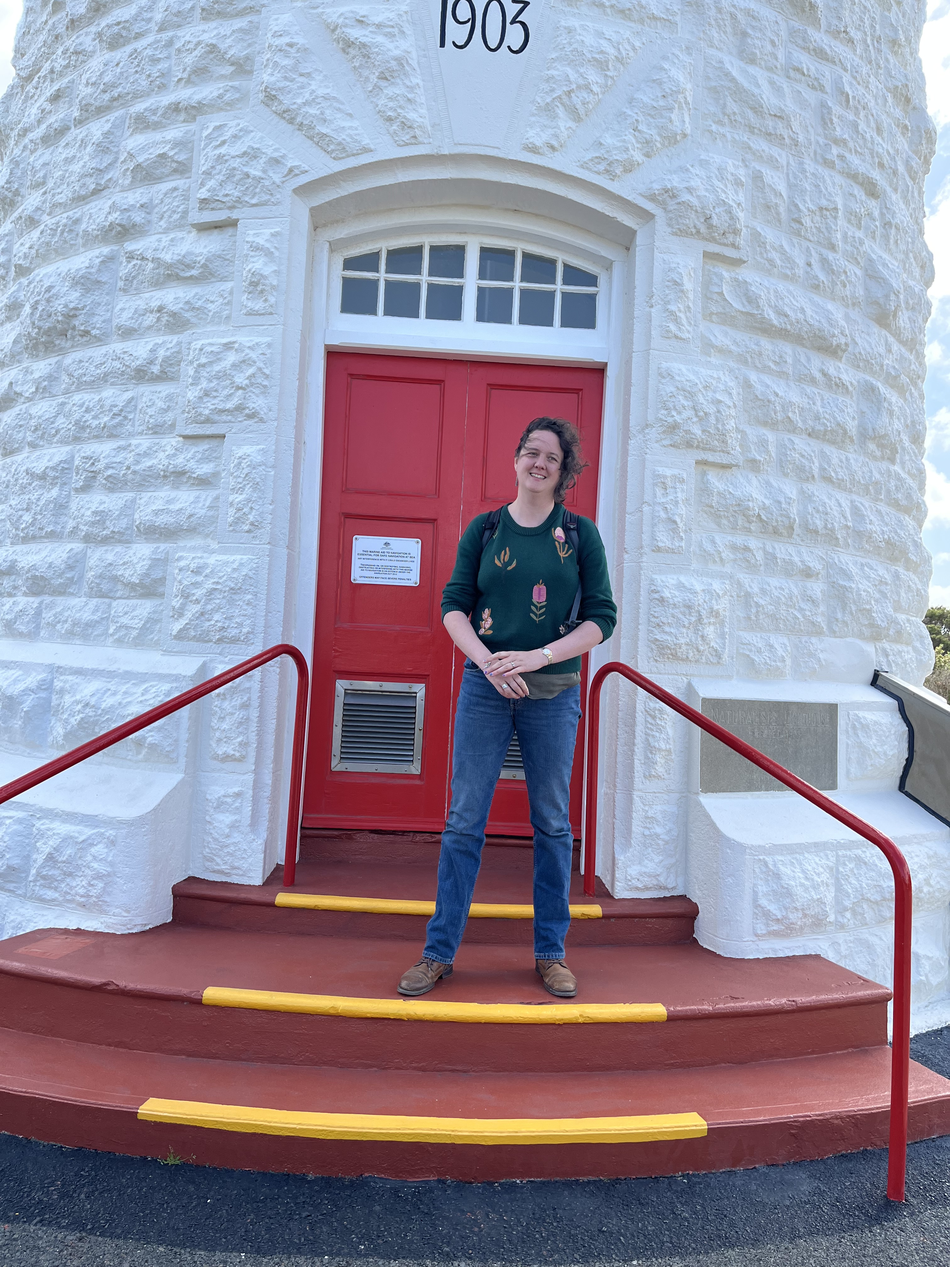
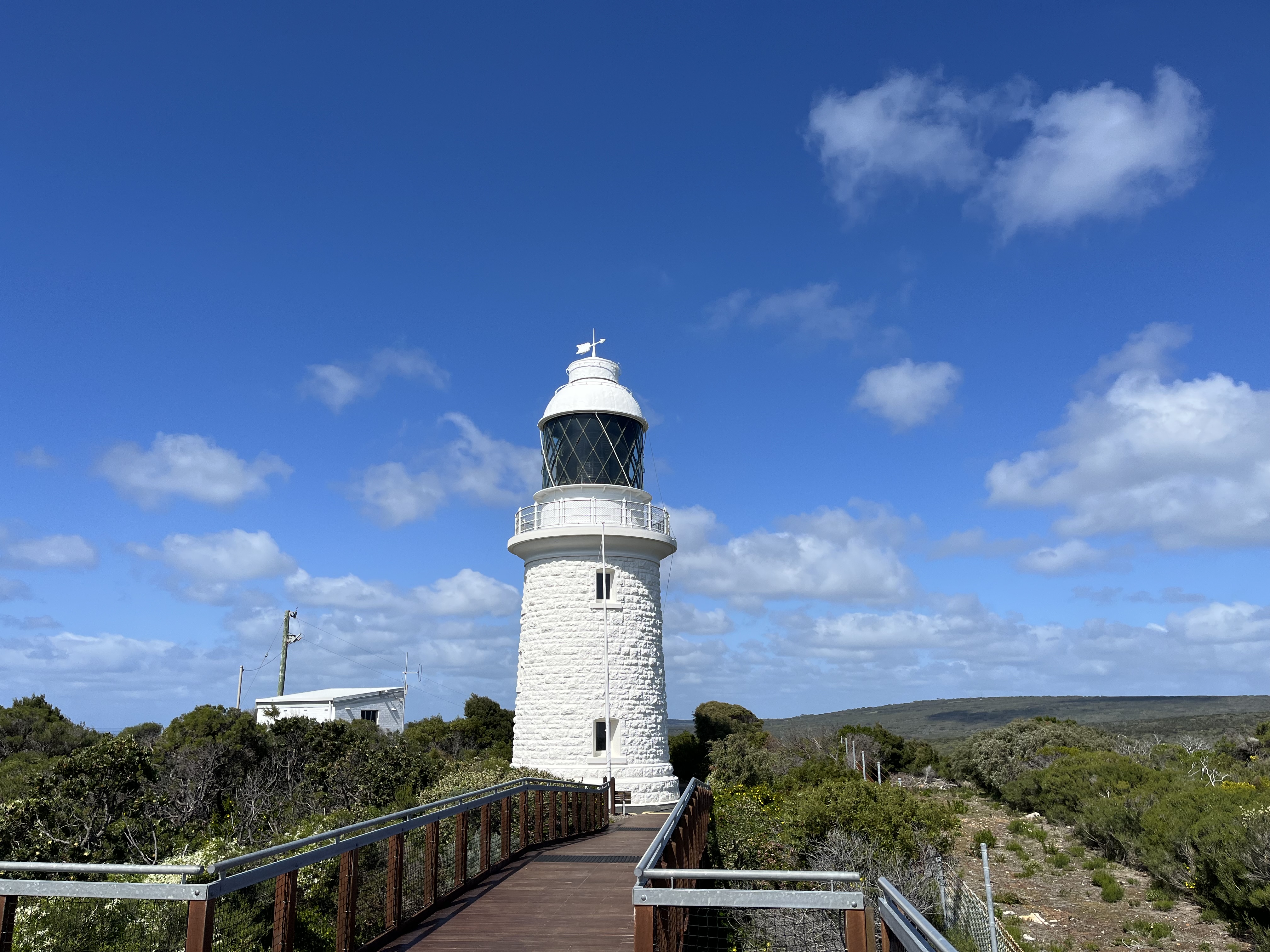
Cape Naturaliste
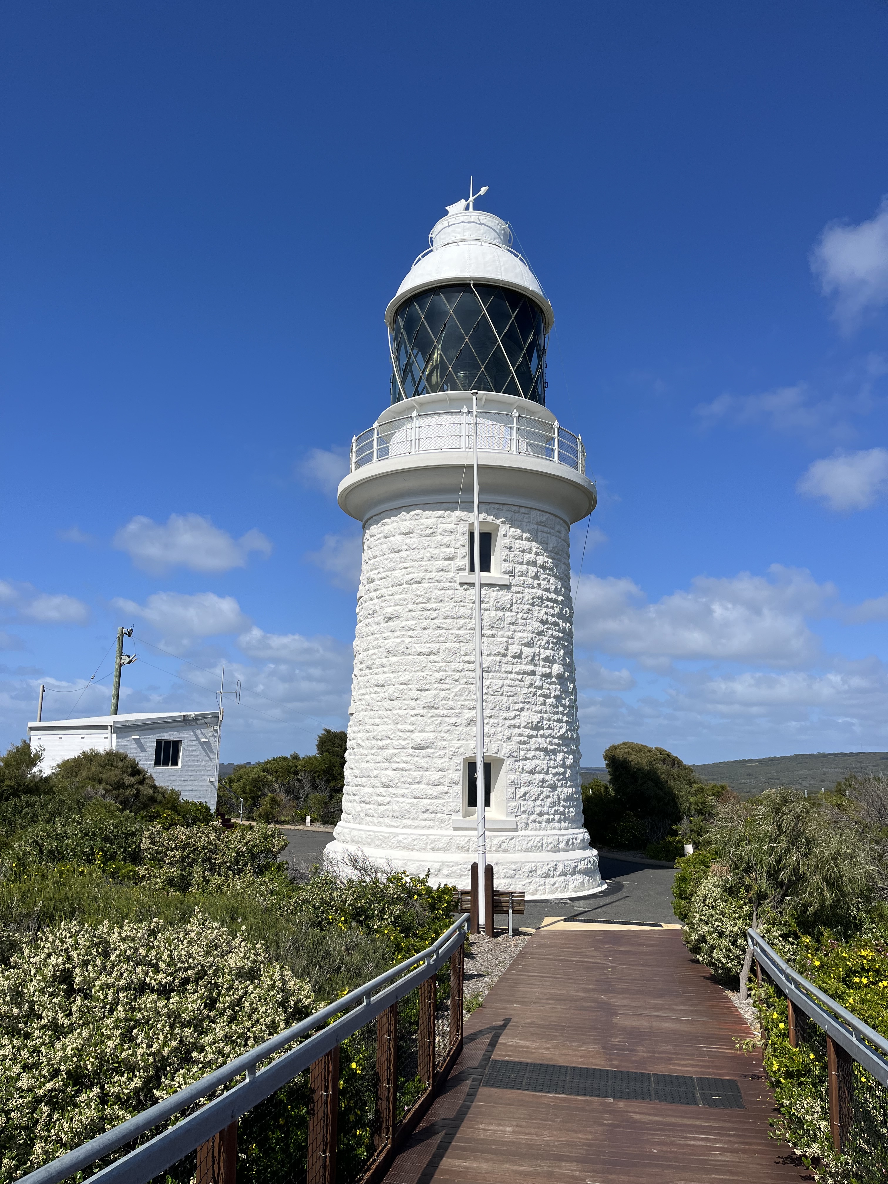
Sometimes alphabetical allows other connections, this is my other WA lighthouse and in fact it’s driving distance from Cape Leeuwin and is part of the same maritime protection system. Cape Naturaliste was built in 1903 on a cape named for Baudin’s ship. The cape was also used as a signalling point by the Wardandi, the local First Nations people. The lighthouse is 20m high and built of limestone, quarried from the nearby Bunker Bay. The lens is a Fresnel lens and like Cape Leeuwin, it rotates on a mercury bath. It was the last personned lighthouse in Australia, with the last keeper leaving in 1996.
Cape Northumberland
We’re back to South Australia again, and this one was very much a flying visit. I was staying in Mount Gambier and I climbed up the dormant volcano Mount Schank (a name that will crop up in another lighthouse shortly) and saw how close I was to the coast, so I headed out, had fish and chips on the beach and found Cape Northumberland lighthouse by accident. But I still thought it was worth including here. This is the second light to serve this bit of coast. The first opened in 1859 but only lasted twenty three years, due to the conditions and the erosion of the cliffs it stood on. This light was built in 1882 and 400 metres to the east on a hill. It was also a Chance Bros. lamp. The light was personned until 1990.
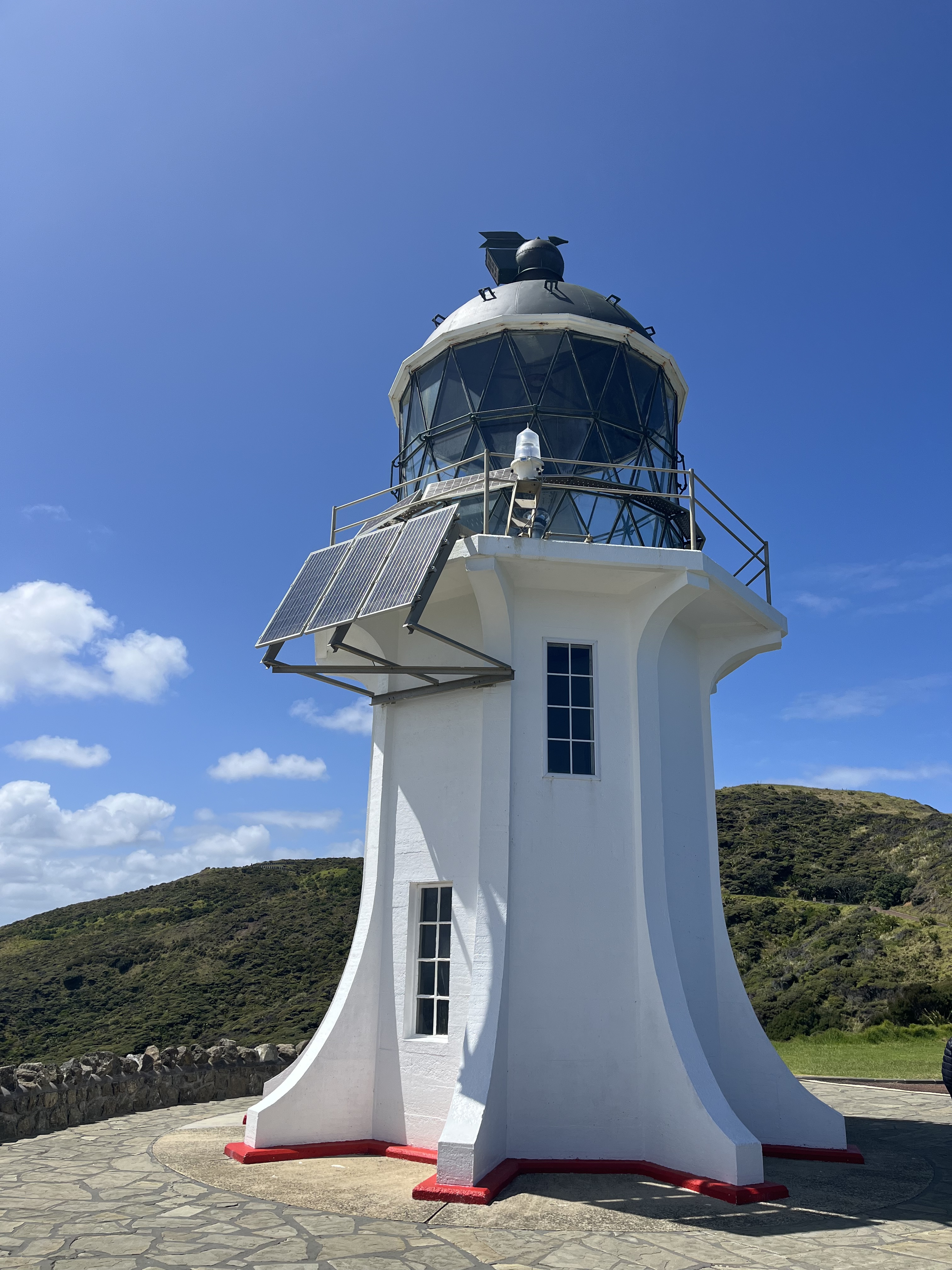
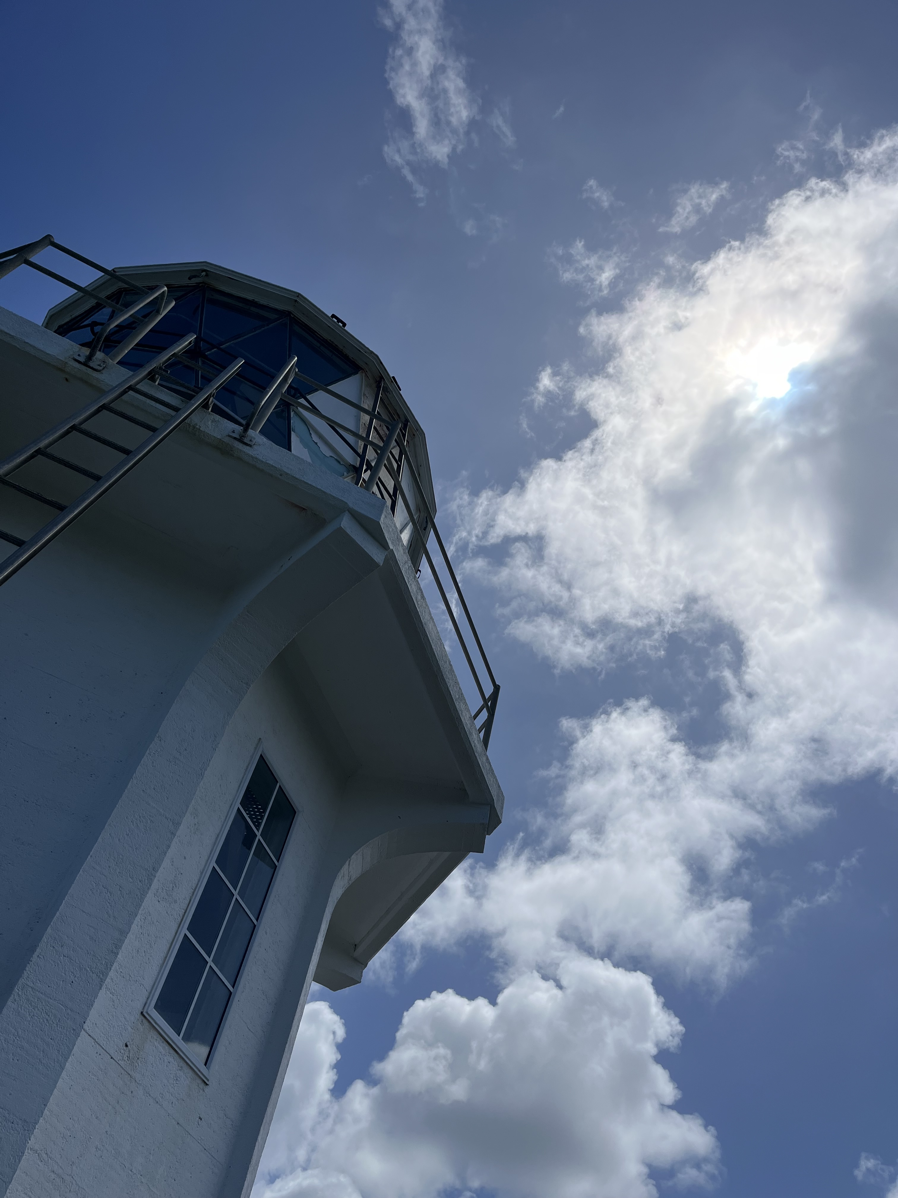
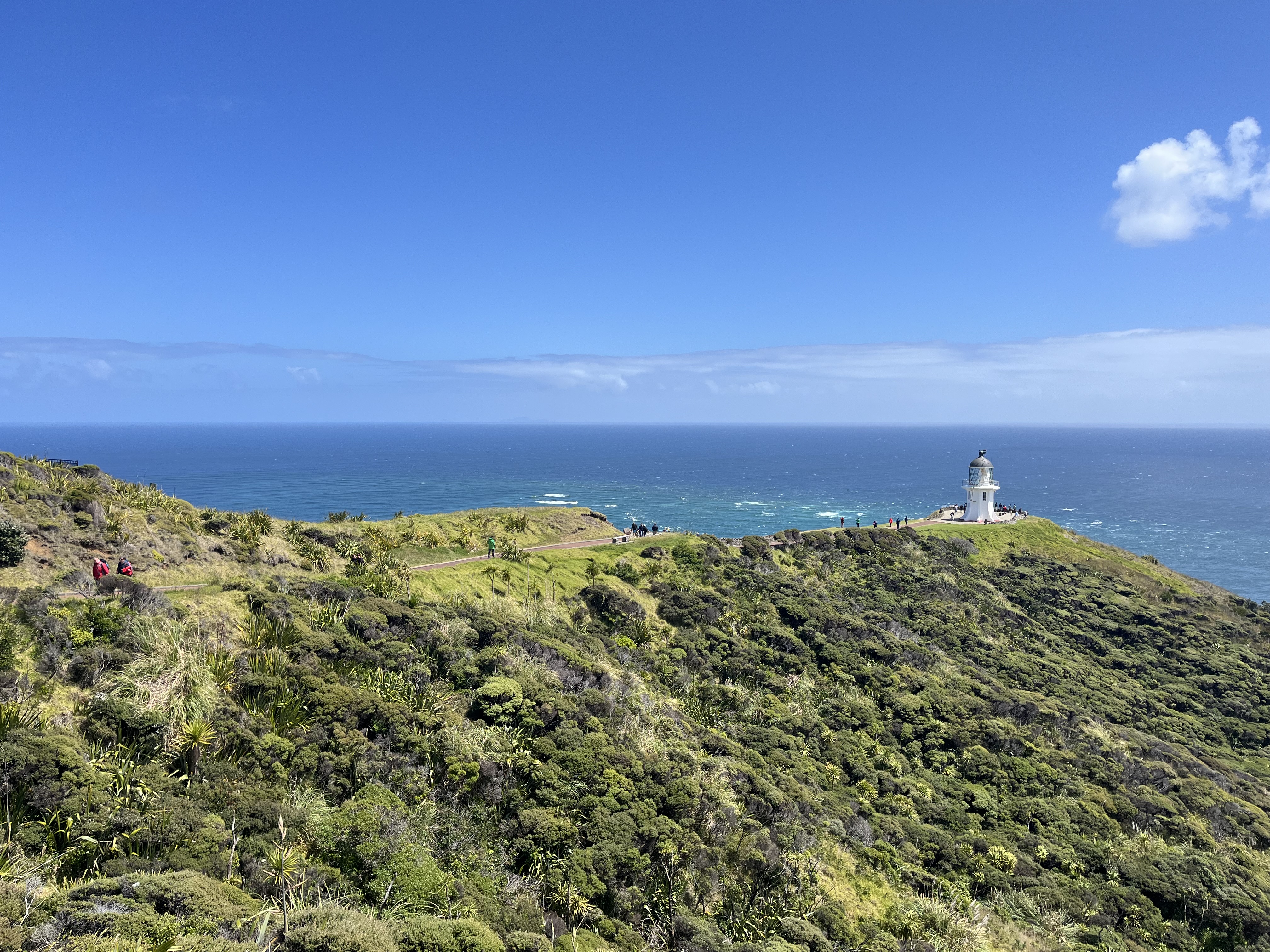
Cape Reinga
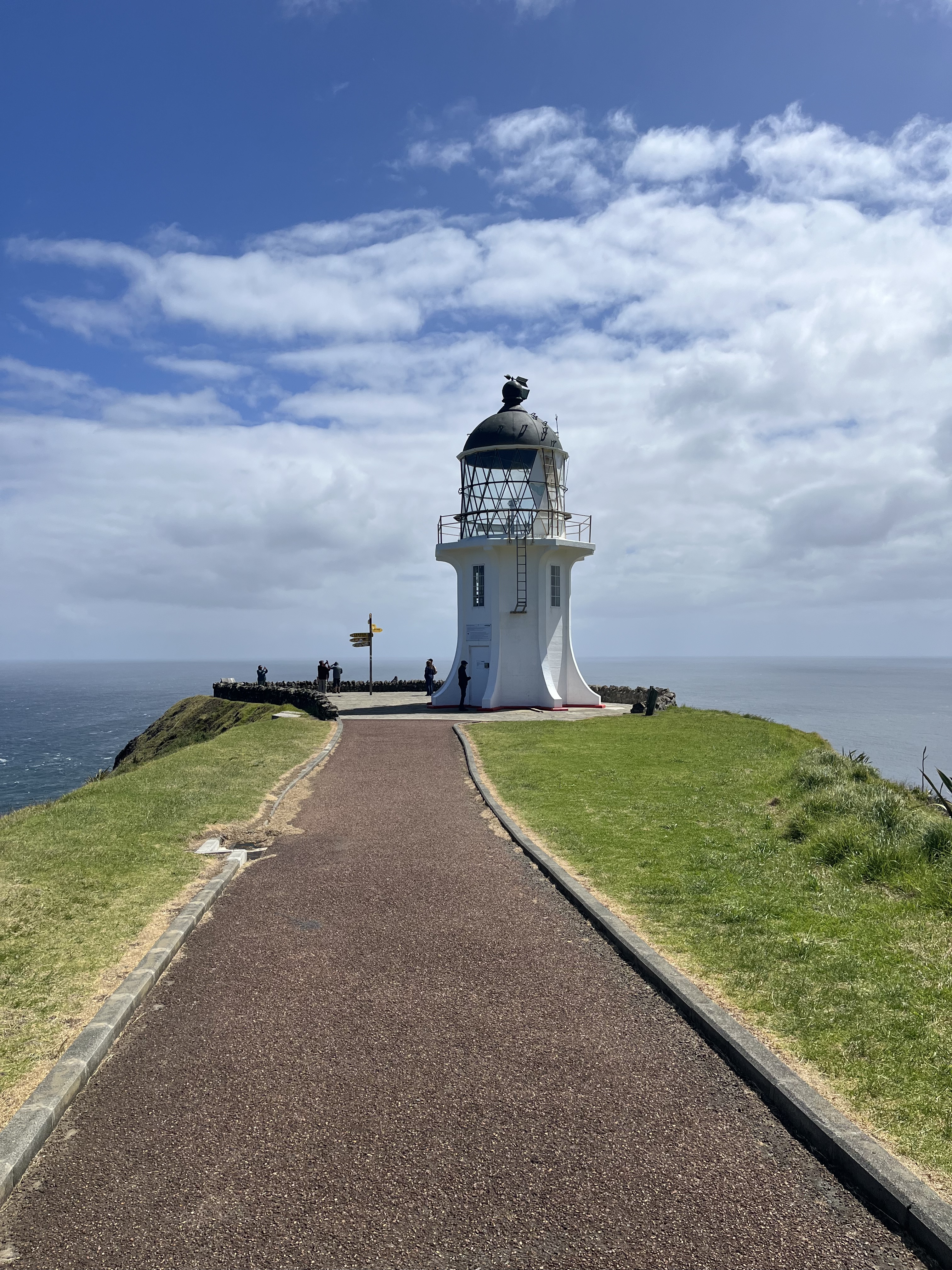
We’ve reached out first international lighthouse. Cape Reinga stands on the most northerly point of New Zealand’s North Island. This light is actually one of the newest on the list. It was built in 1941 to replace the 1879 light on Motuopao Island, which is just south-west of the Cape. It cost 30 000 pounds to build, was the last personned lighthouse in New Zealand to be built, is 10 meters high and stands 165 metres above sea level. It’s still very much part of New Zealand’s maritime network, the light flashes every 12 seconds and can be seen for 35 nautical miles. It’s often the first light that ships see when arriving from the Tasman Sea or the Pacific Ocean. Like Cape Leeuwin, it’s at the confluence of waters. In this case it’s where the Tasman Sea and the Pacific Ocean meet.
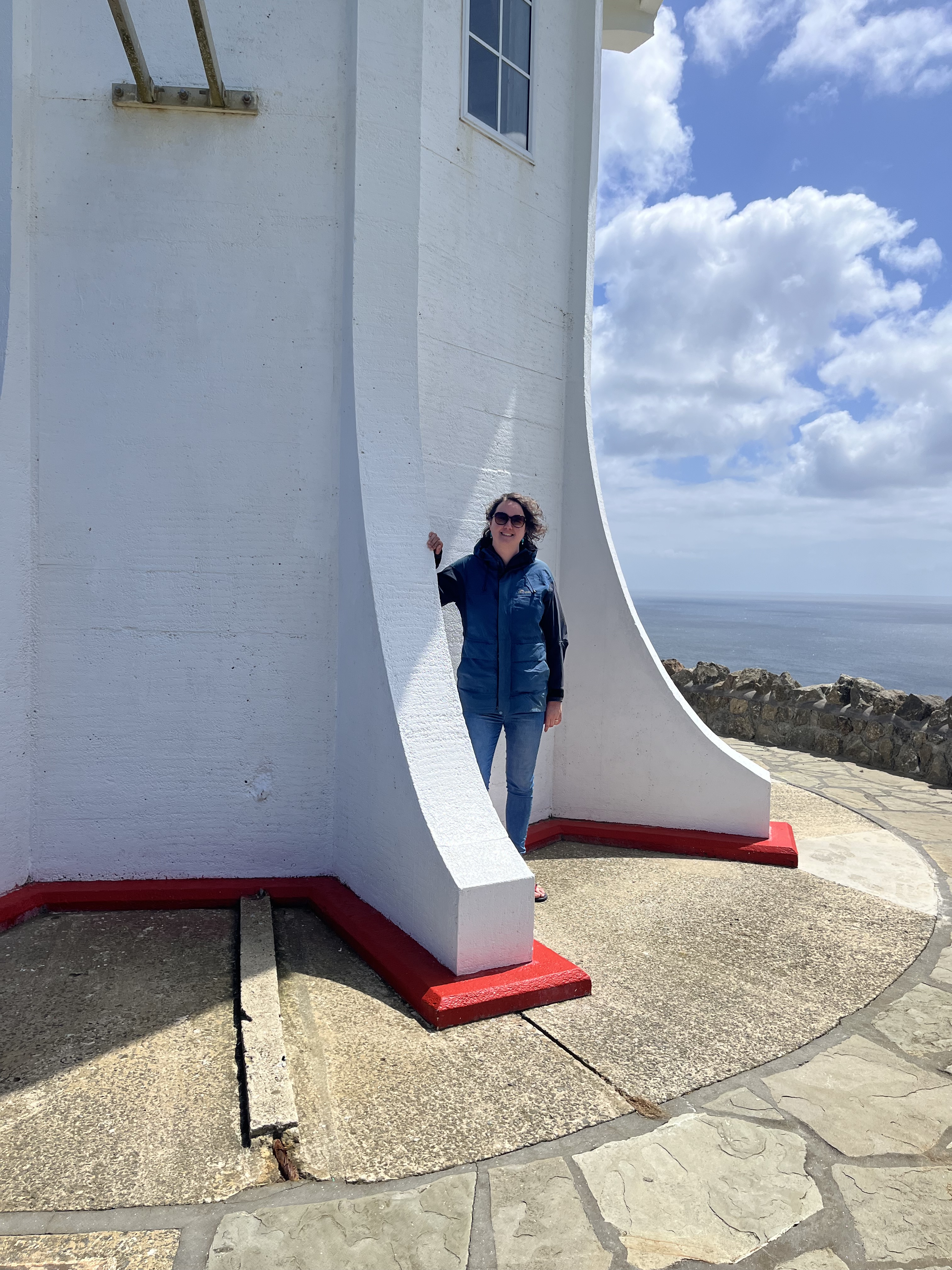
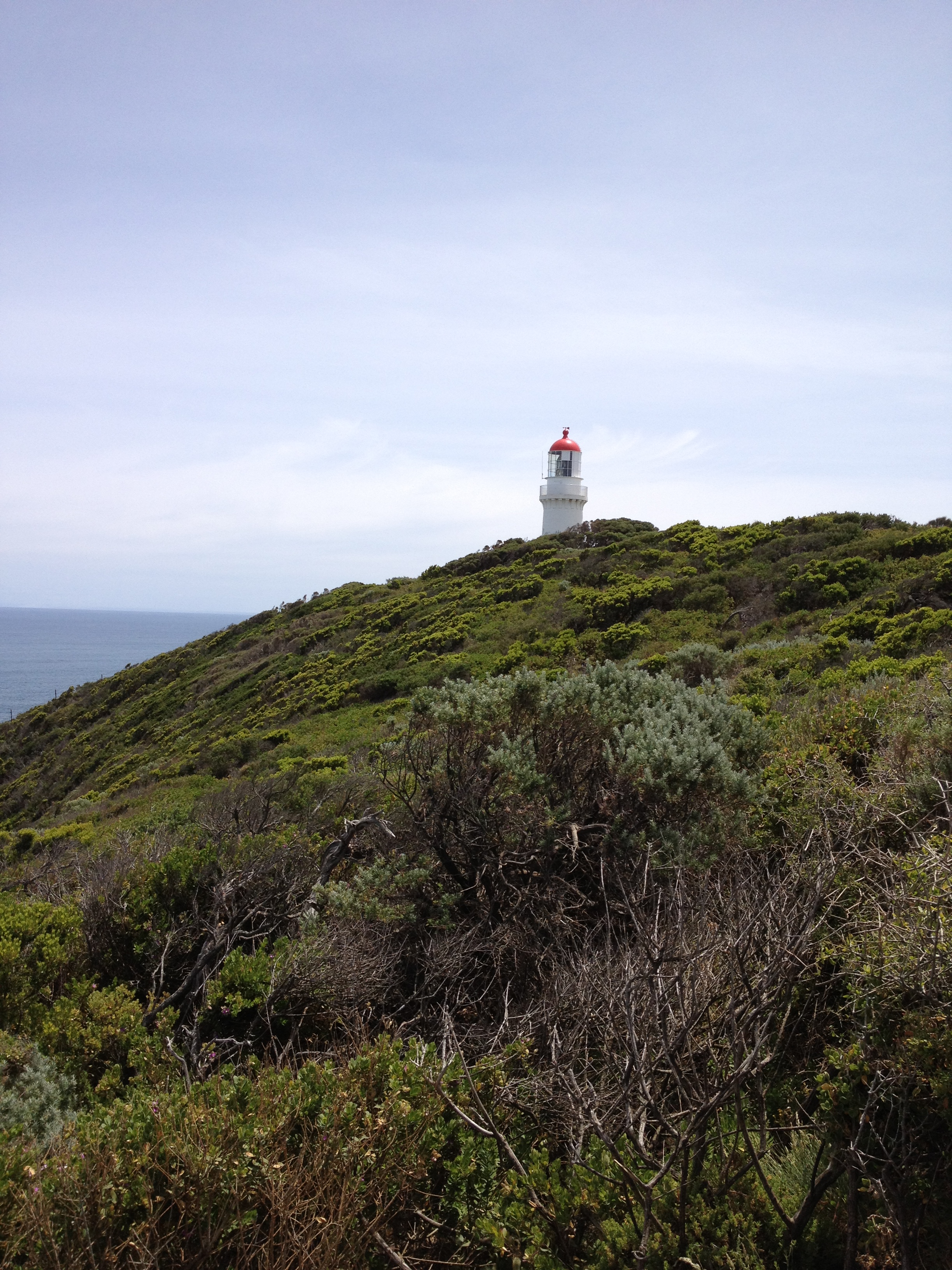
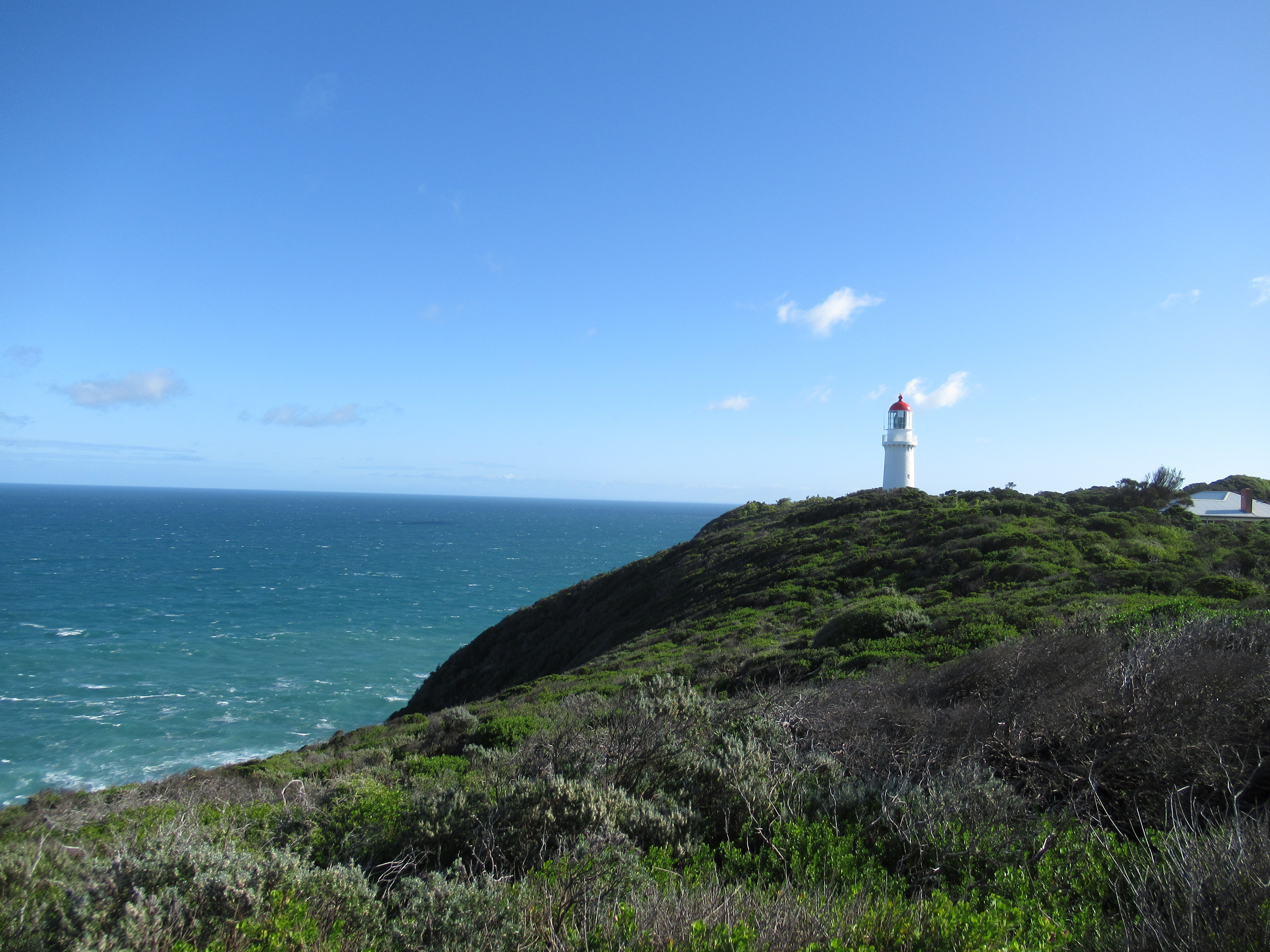
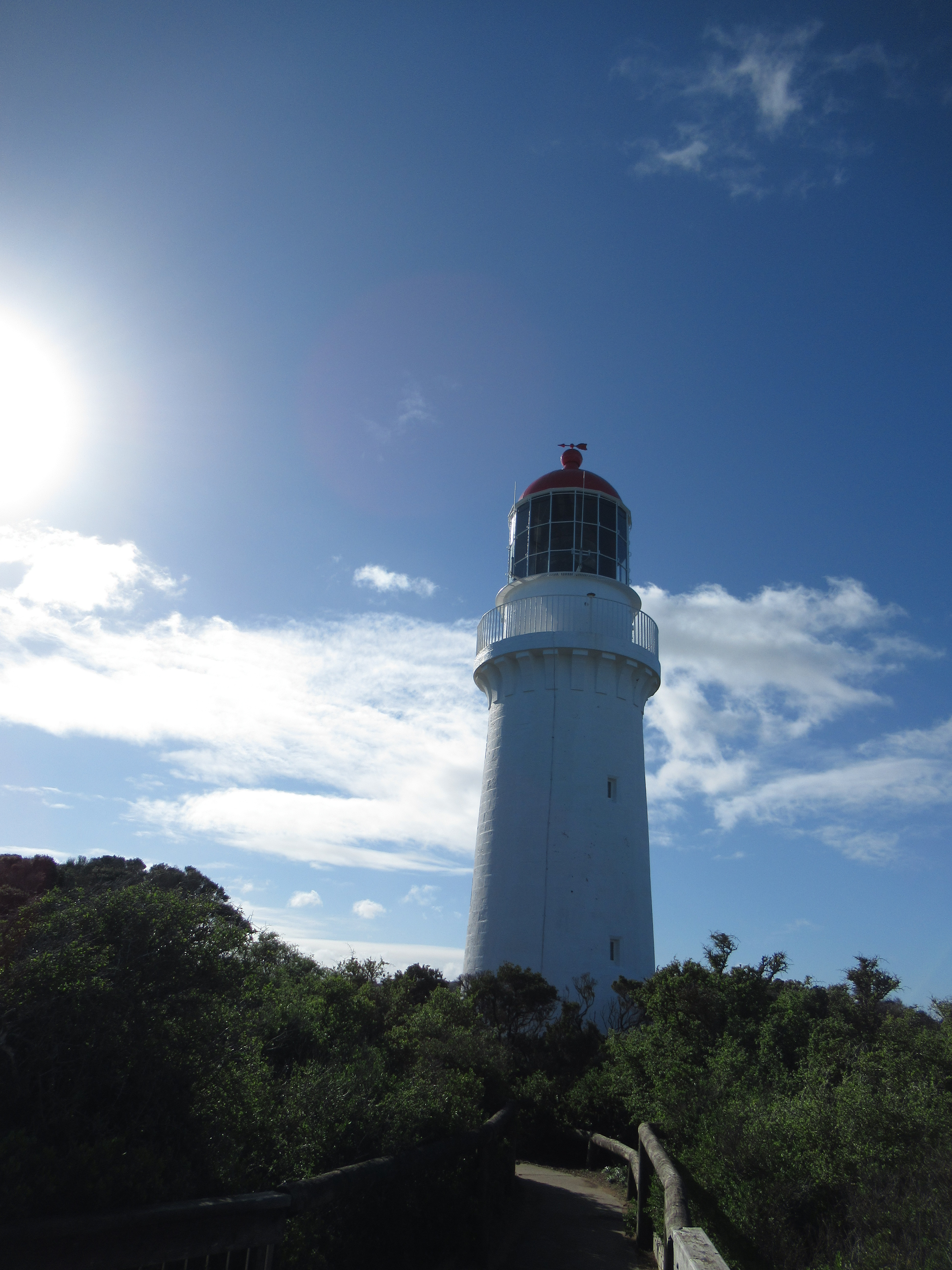
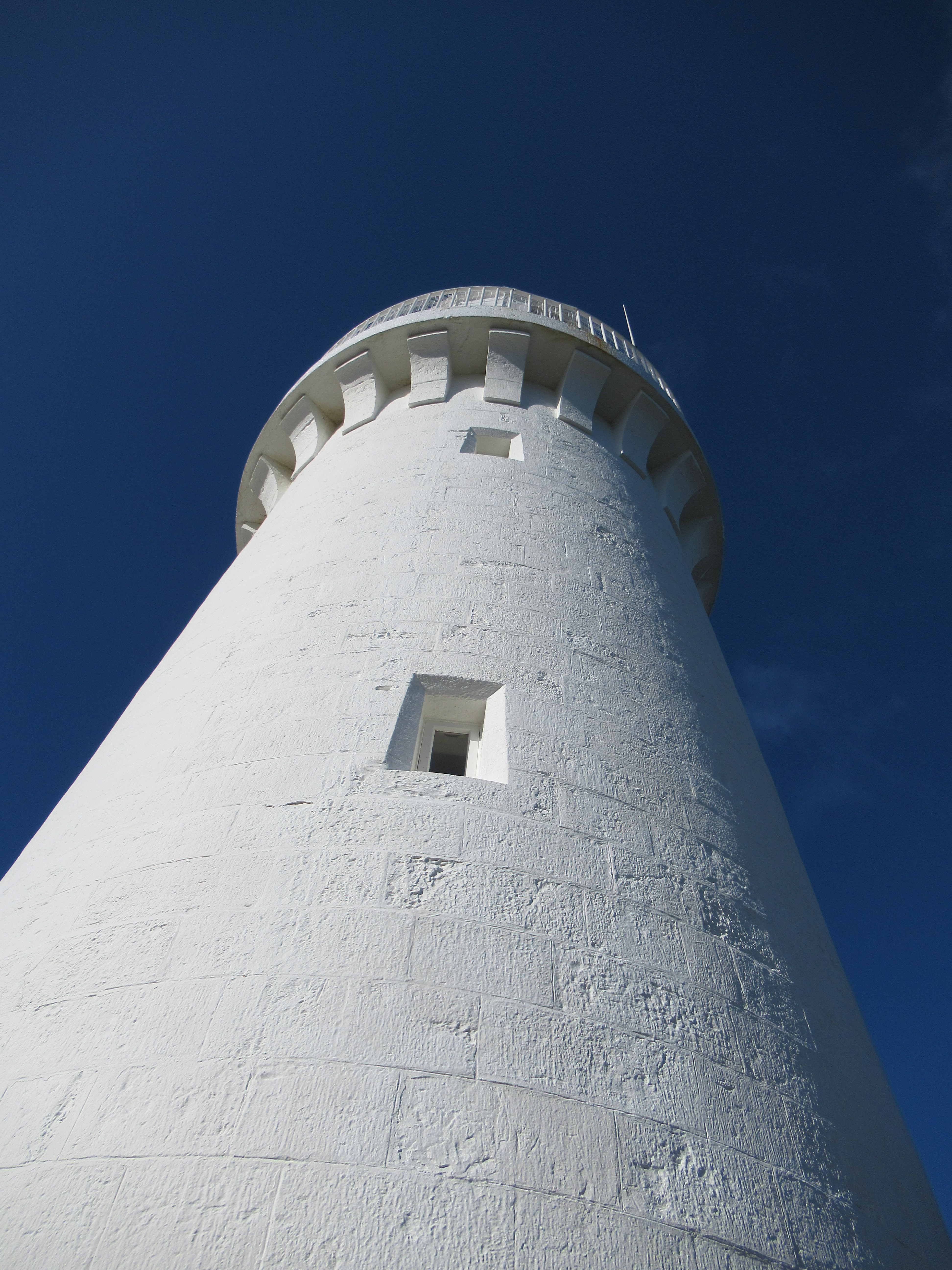
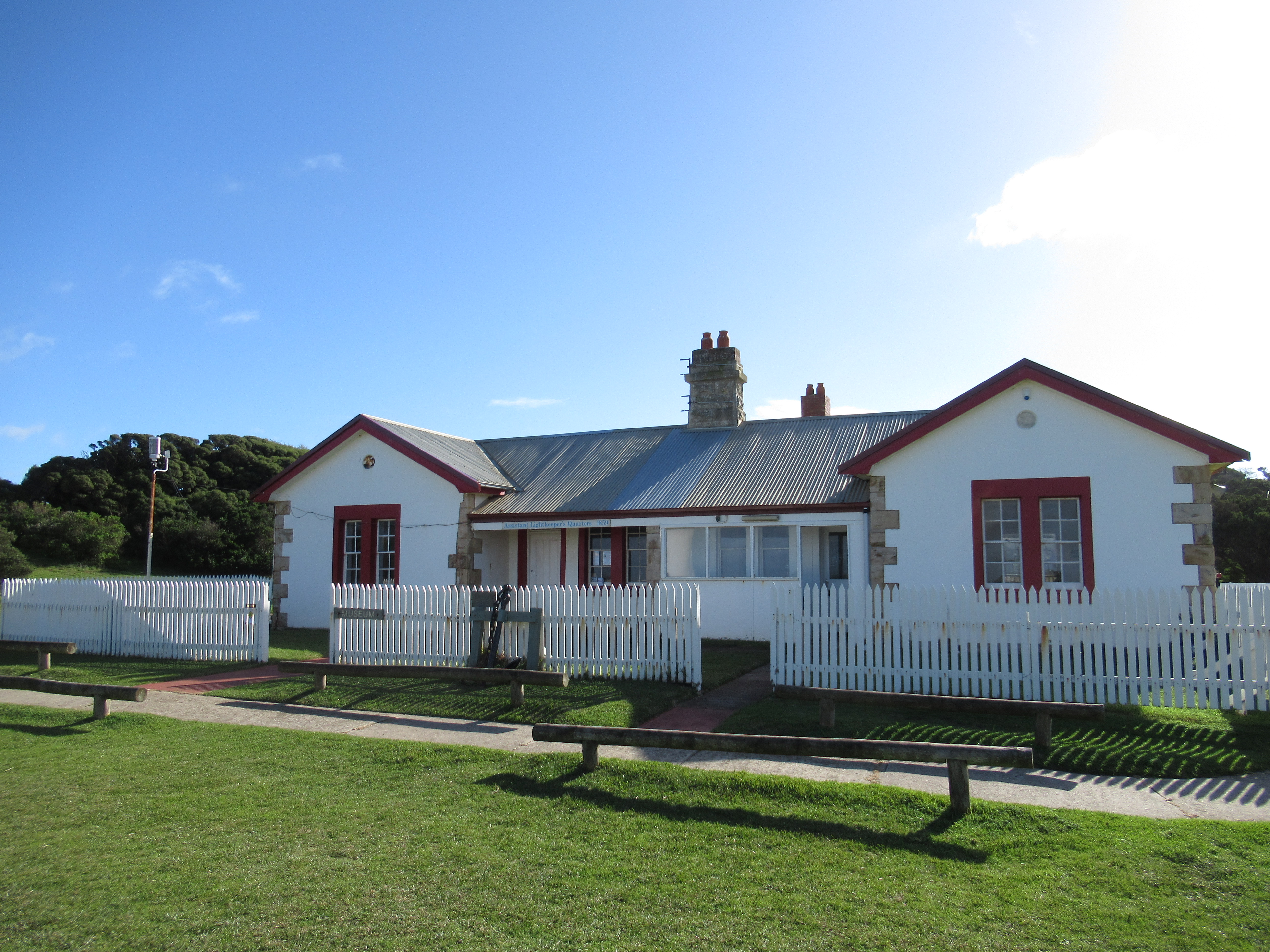
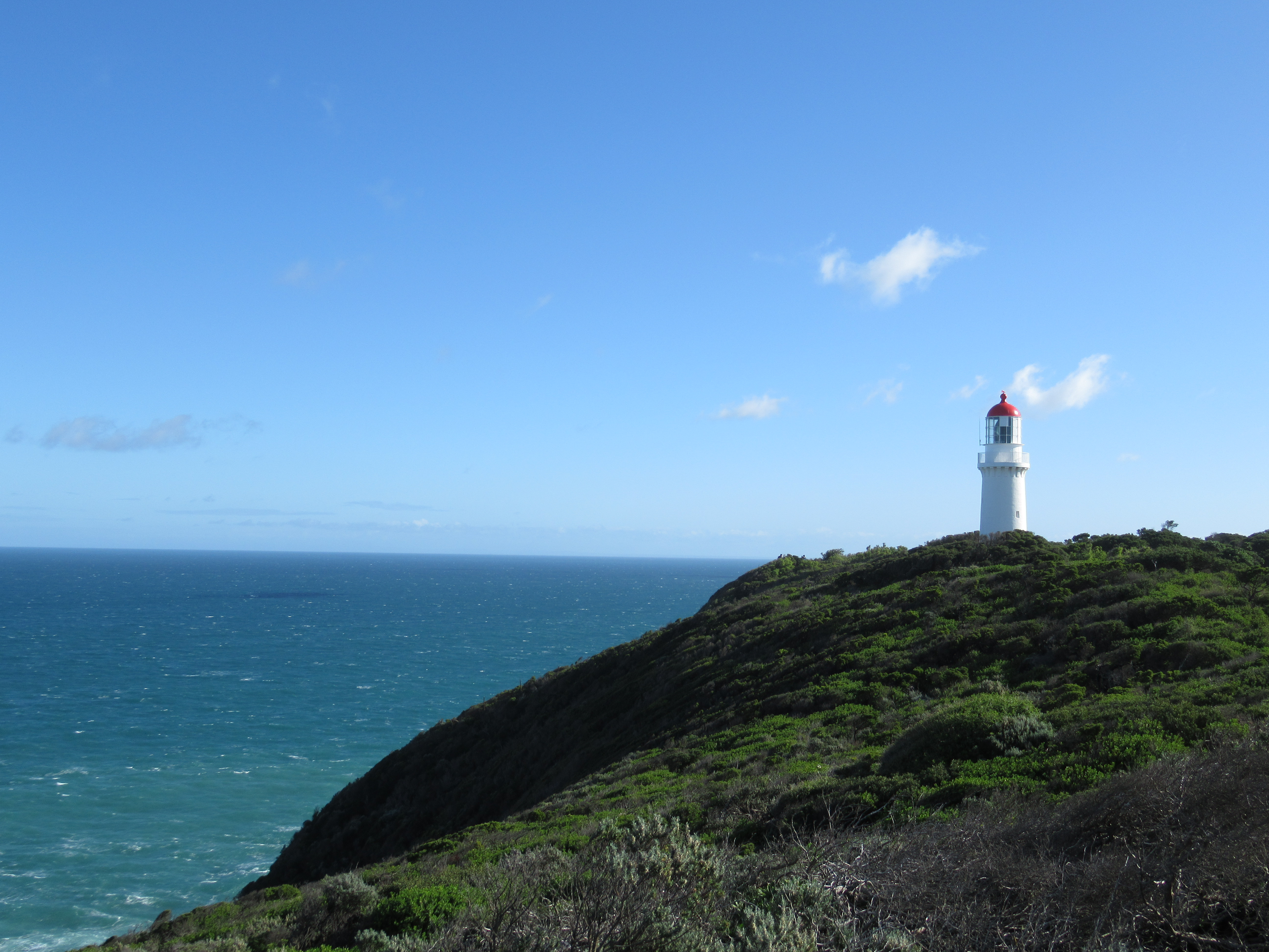
Cape Schanck
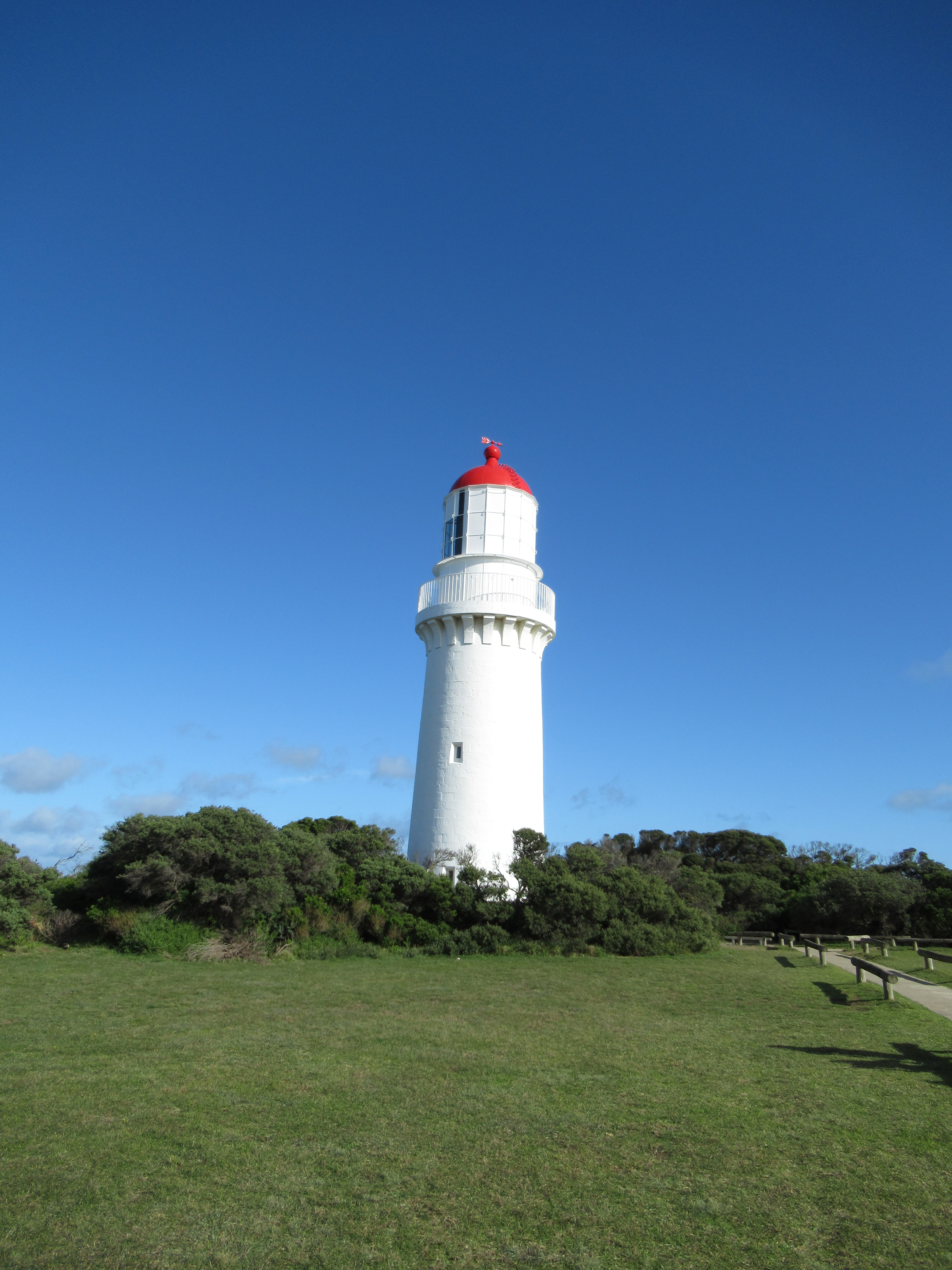
Cape Schanck is another lighthouse I have written about before. You can read that post here. It stands on the Mornington Peninsula in Victoria. It’s also the return of the name Schanck, which I mentioned with Mount Schank from which I saw Cape Northumberland. Both, despite the different spellings, were named after Admiral John Schank by James Grant when he sailed past on the Lady Nelson. The extra c was added locally later, as a misspelling.
Cape Schanck was constructed between 1857 and 1859, along with the other buildings of its lightstation, by the Victorian Public Works Department. It stands at 21 metres on 80 metre cliffs. The lamp is a Chance Bros. design and is automated and can be seen 25 nautical miles into Bass Strait. It’s part of a sea road of lighthouses that patrolled Bass Strait. The others are Cape Whickham and Cape Otway, which I sadly don’t have photos of, but I might return to at another time. Cape Schanck is also my local lighthouse, I’m from the Peninsula originally. So I have a real soft spot for. Along with Port Fairy’s lighthouse, which I’ll be discussing shortly, it’s one of only three lighthouses in Victoria that have inbuilt stone staircases. I don’t have photos of it, but you’ll Port Fairy’s staircase soon.
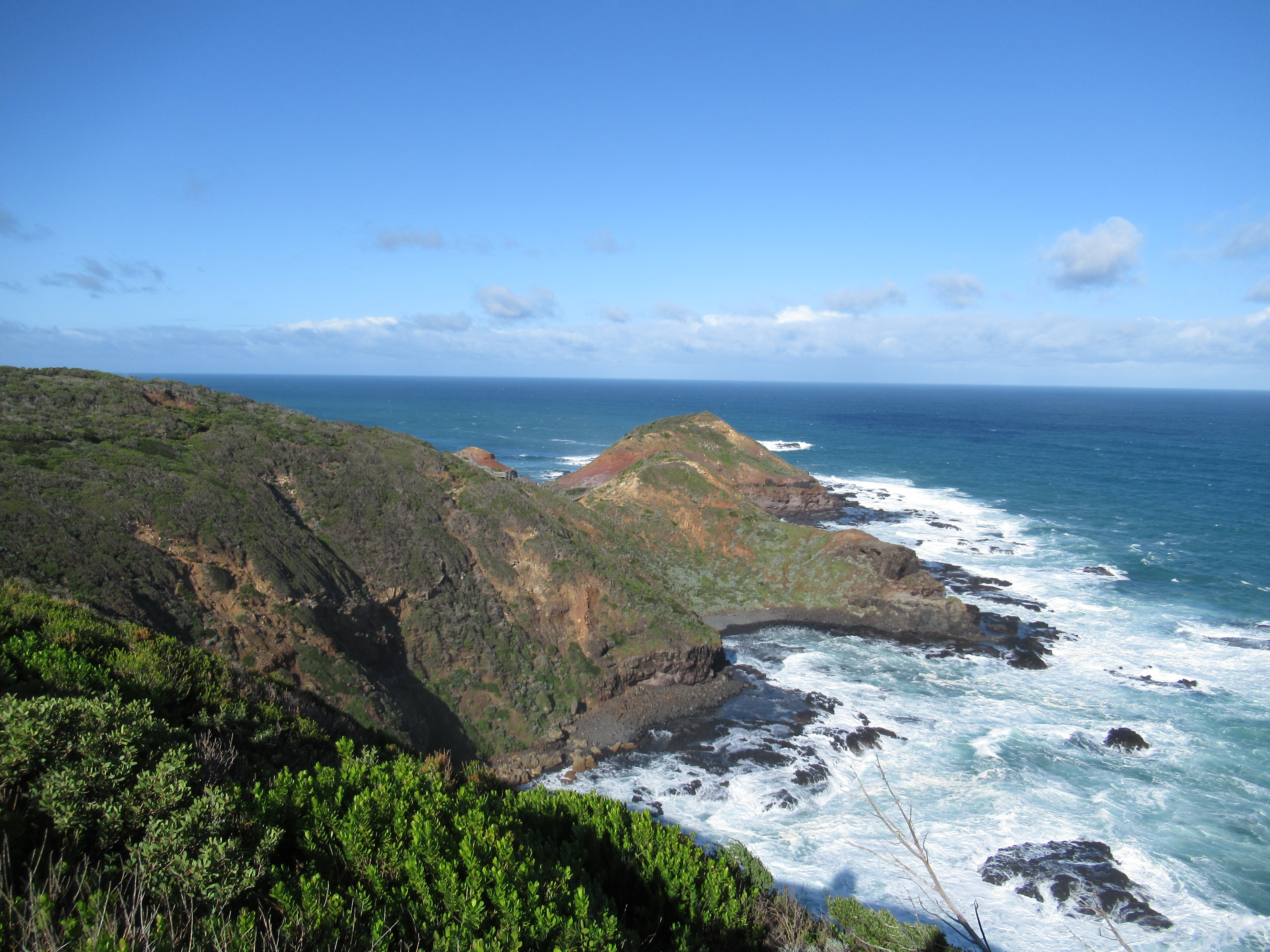
Cape Tourville
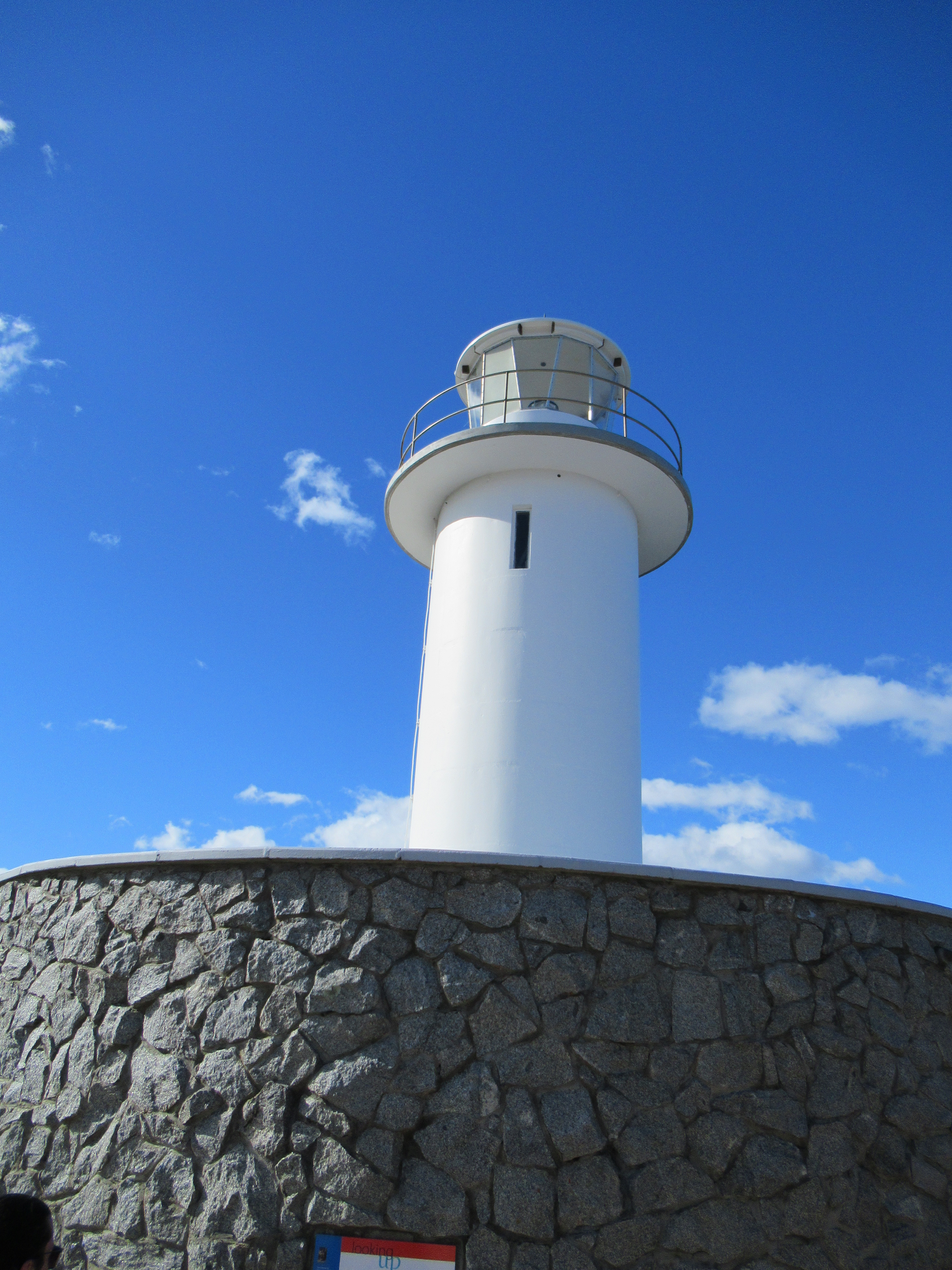
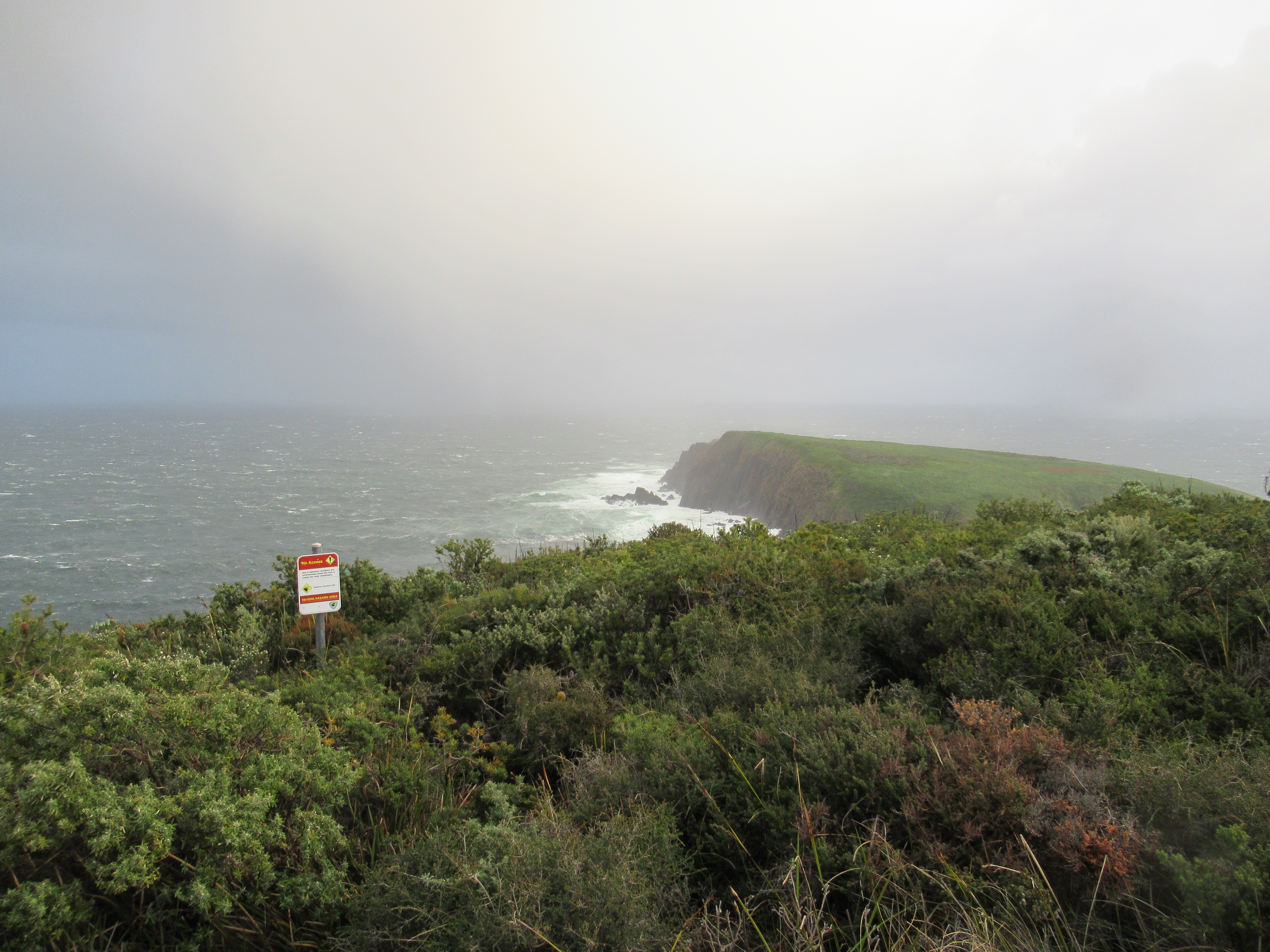
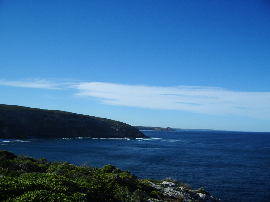
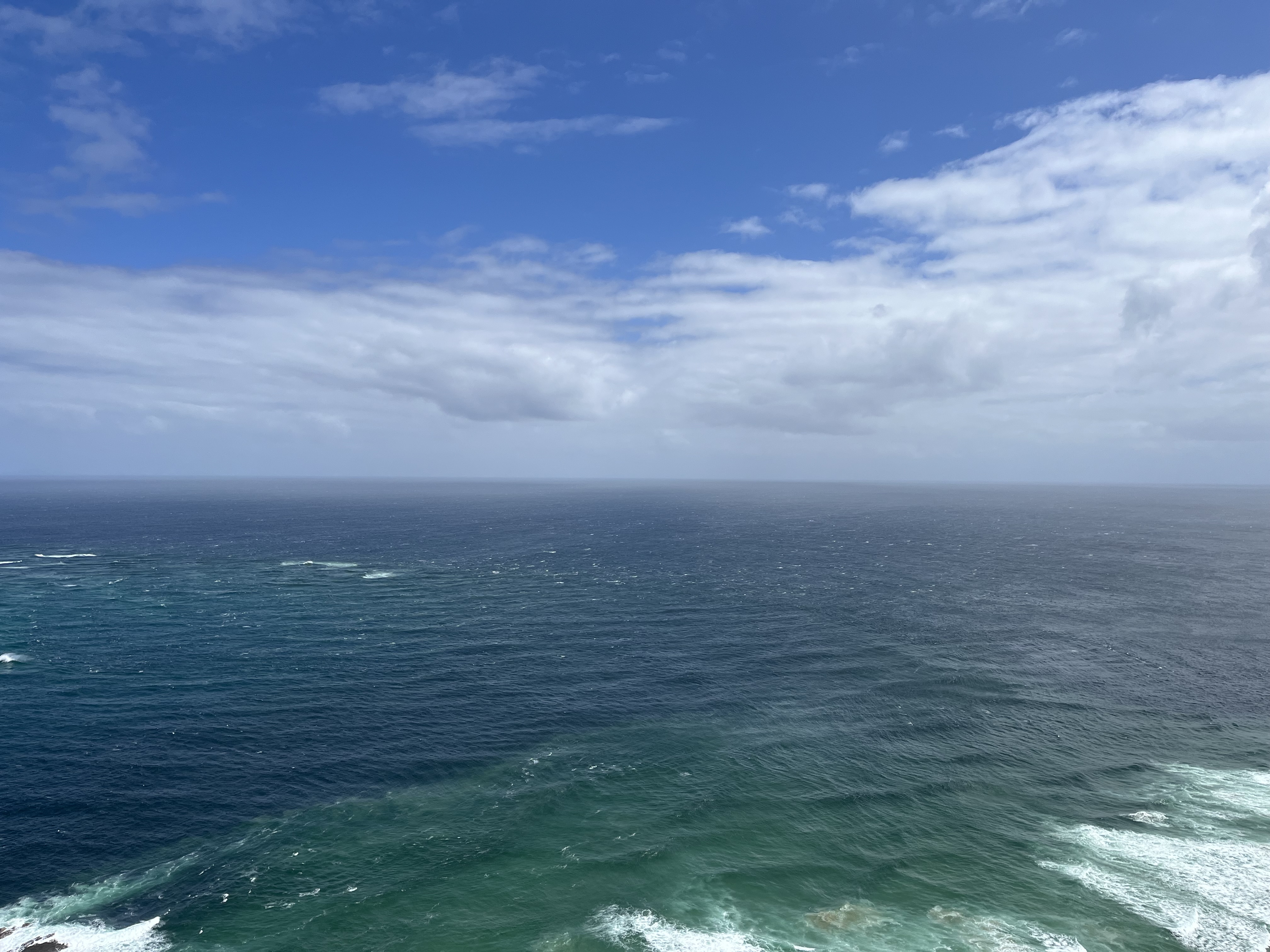
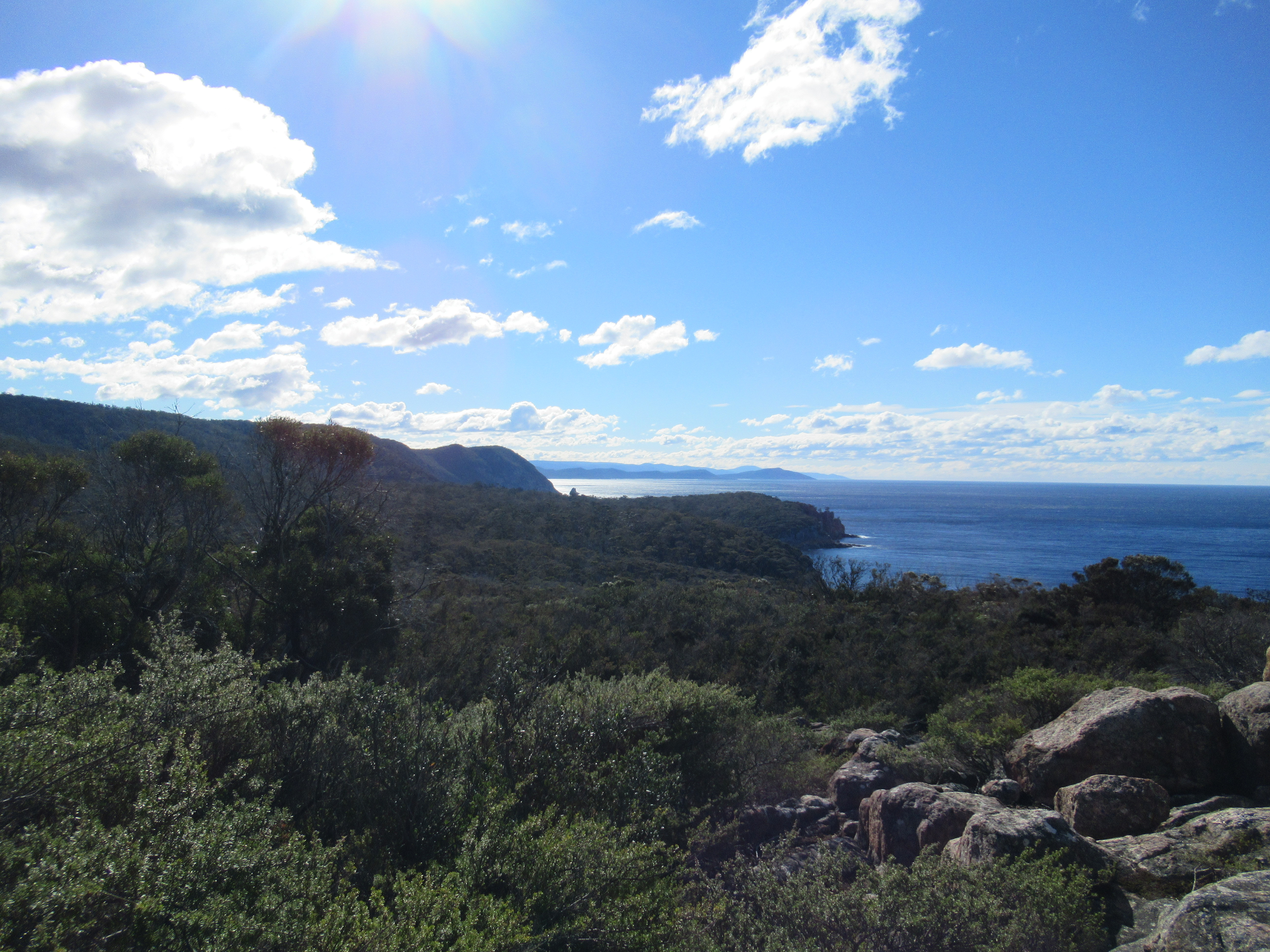
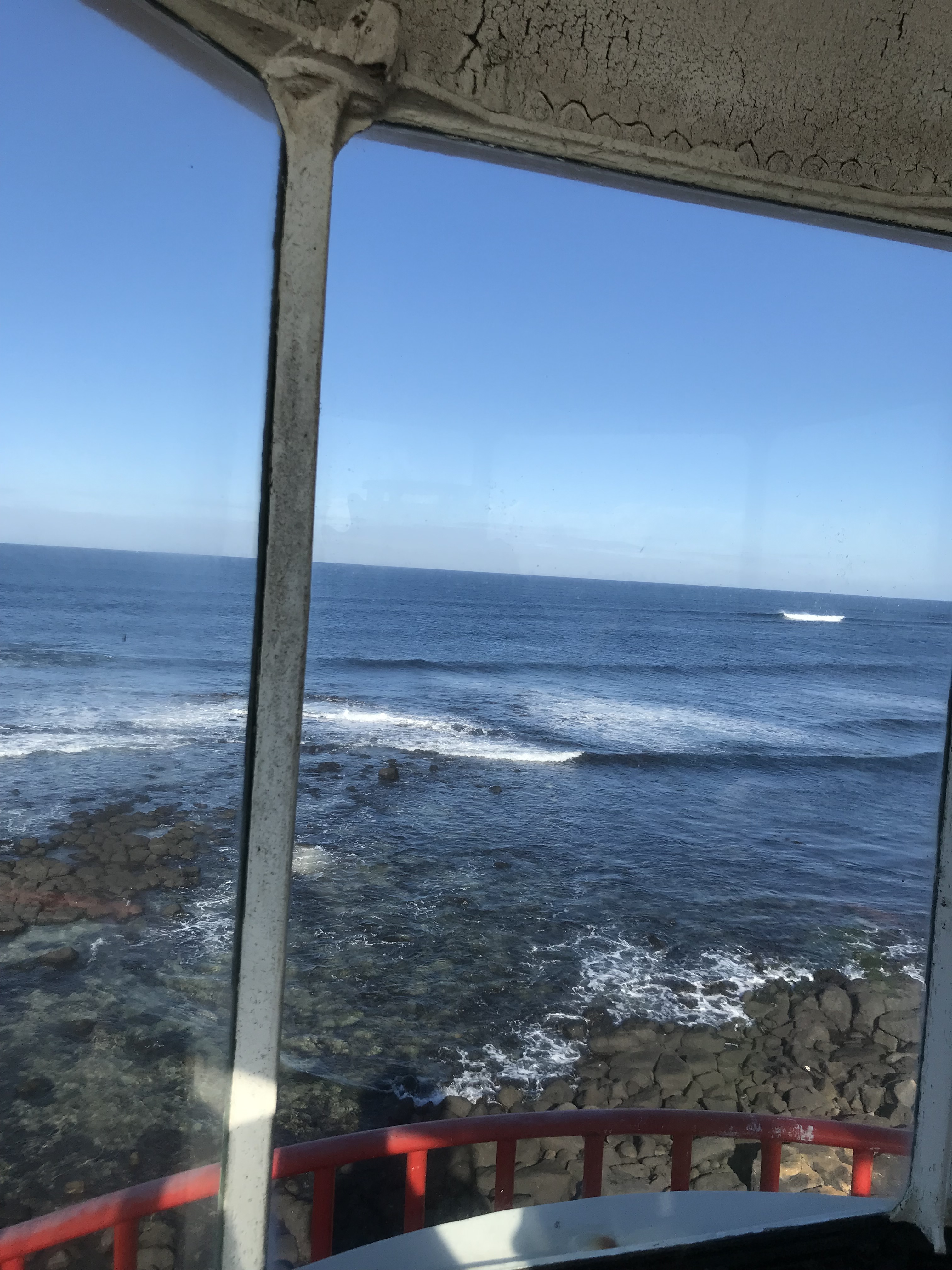
We’re heading back south with Cape Tourville, which sits in the Freycinet National Park in Tasmania. It’s one of the newest lighthouses on this blog as it was built in 1971. It replaced the Cape Foriester lighthouse, which was demolished at the same time. It stands at 11 metres, but is 126 metres above sea level. It’s still very much part of the maritime network in Tasmania and its beam can be seen 28 nautical miles out into the ocean. You can see the coast it commands below
Cape Willoughby
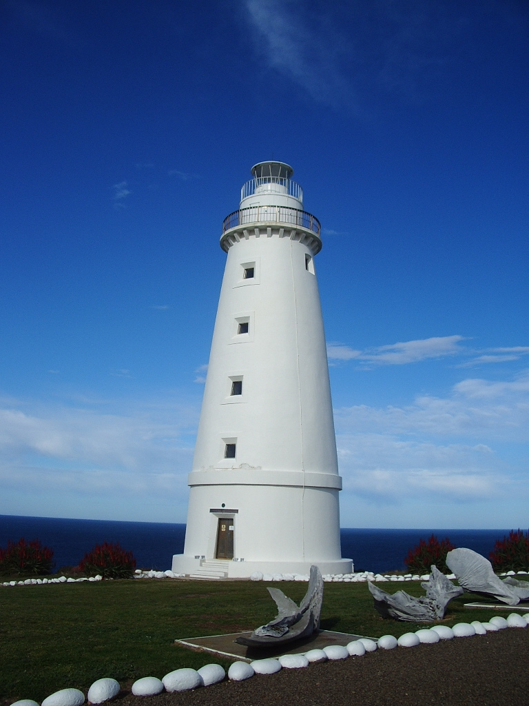
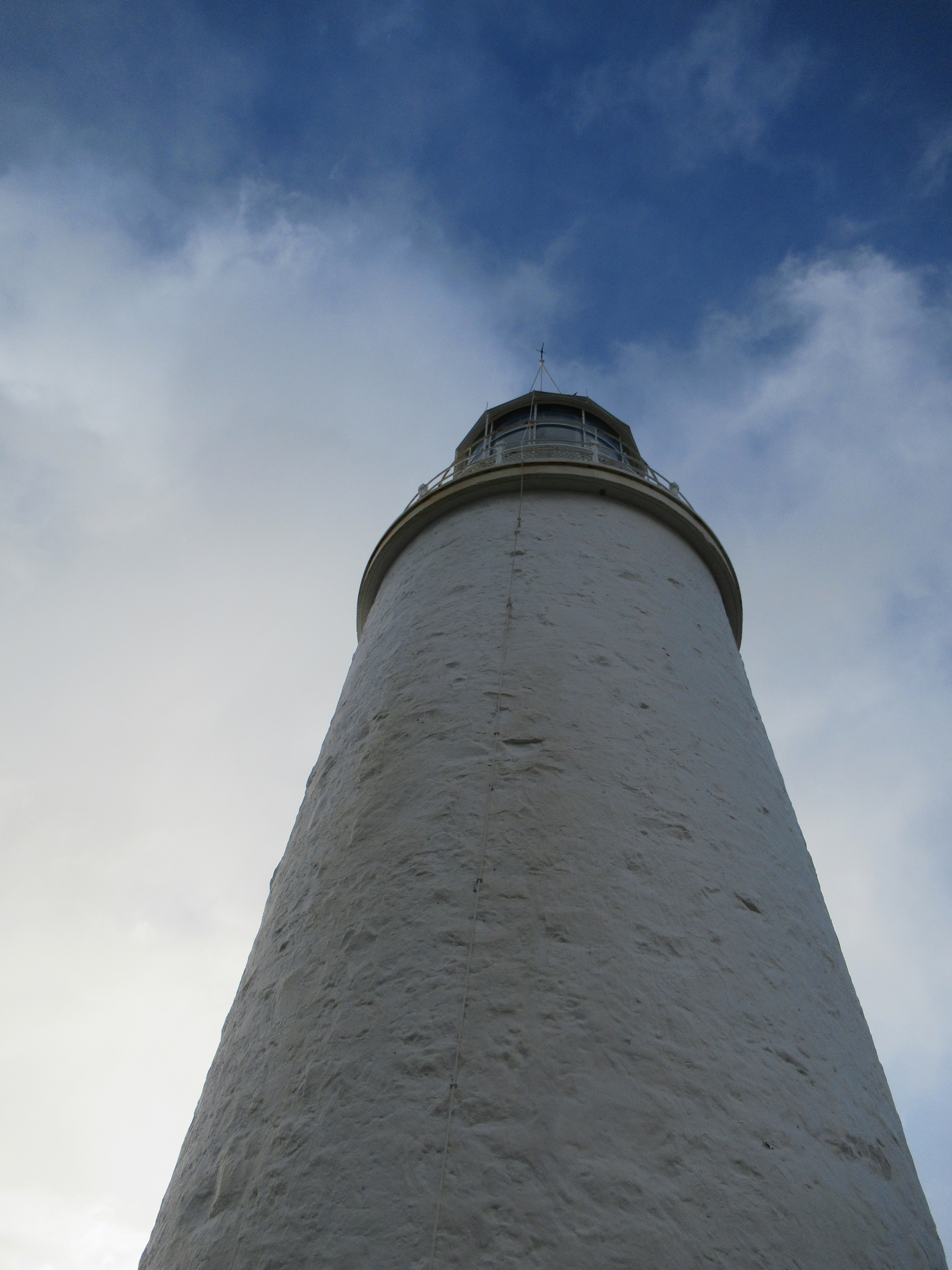
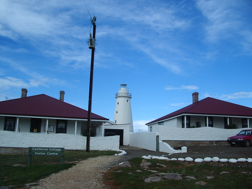
Cape Willoughby is the third of my Kangaroo Island lighthouses. First lit in 1852, it was South Australia’s first lighthouse. The tower was built from limestone and granite that was quarried from a cleft in the cliff at the base of the tower. The tower itself is 26 metres and stands 75 metres above sea level. The original lamp was a Wilkins & Co lantern which was powered by clockwork, but it was replaced by a Chance Bros. in 1923, which was itself removed in 1974 in a major, and partly aesthetic, overhaul of the lighthouse, which also saw the removal of the internal wooden stair. The lighthouse was personned until 1992, making it one of Australia’s last personned lighthouses.
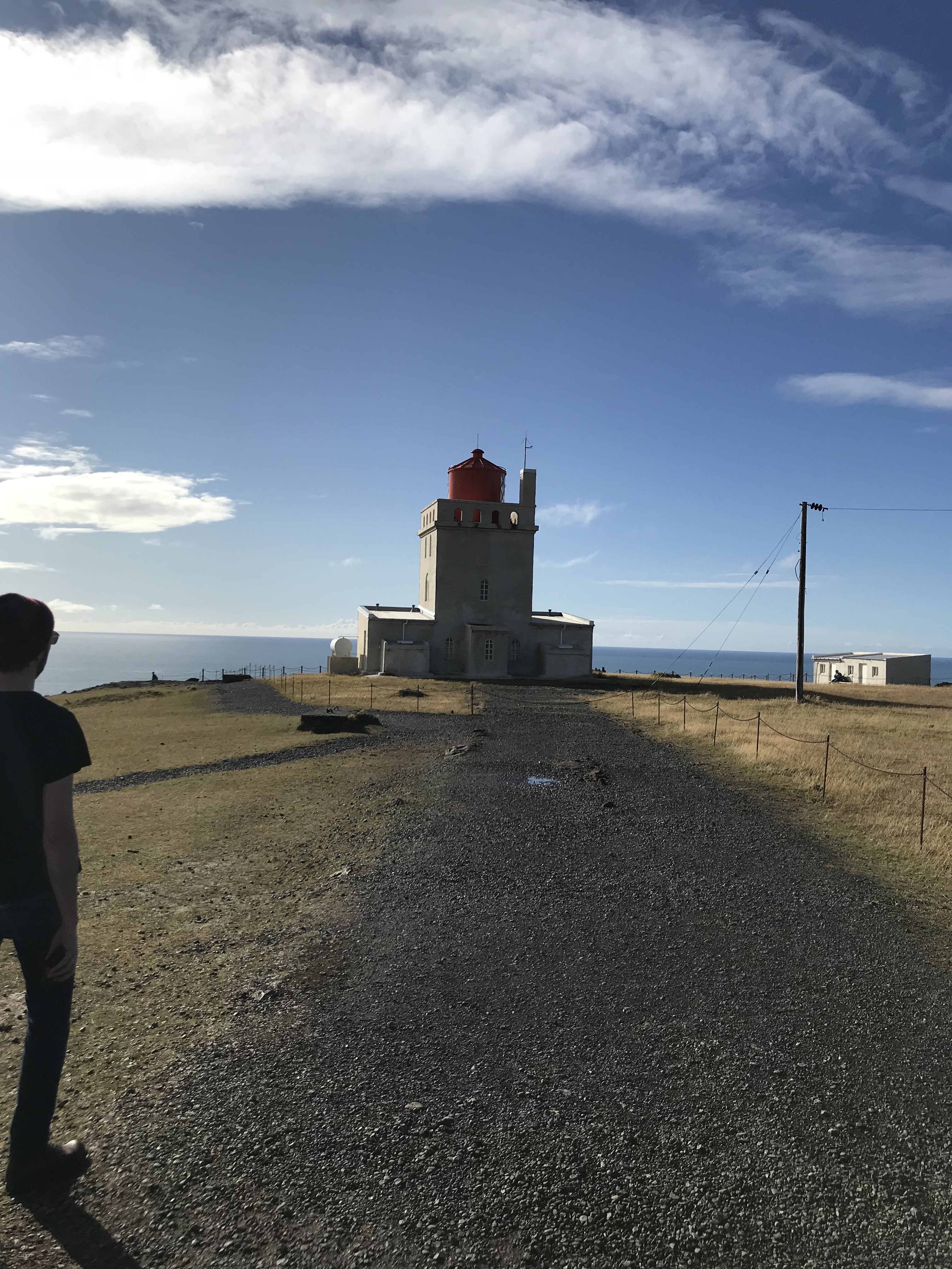
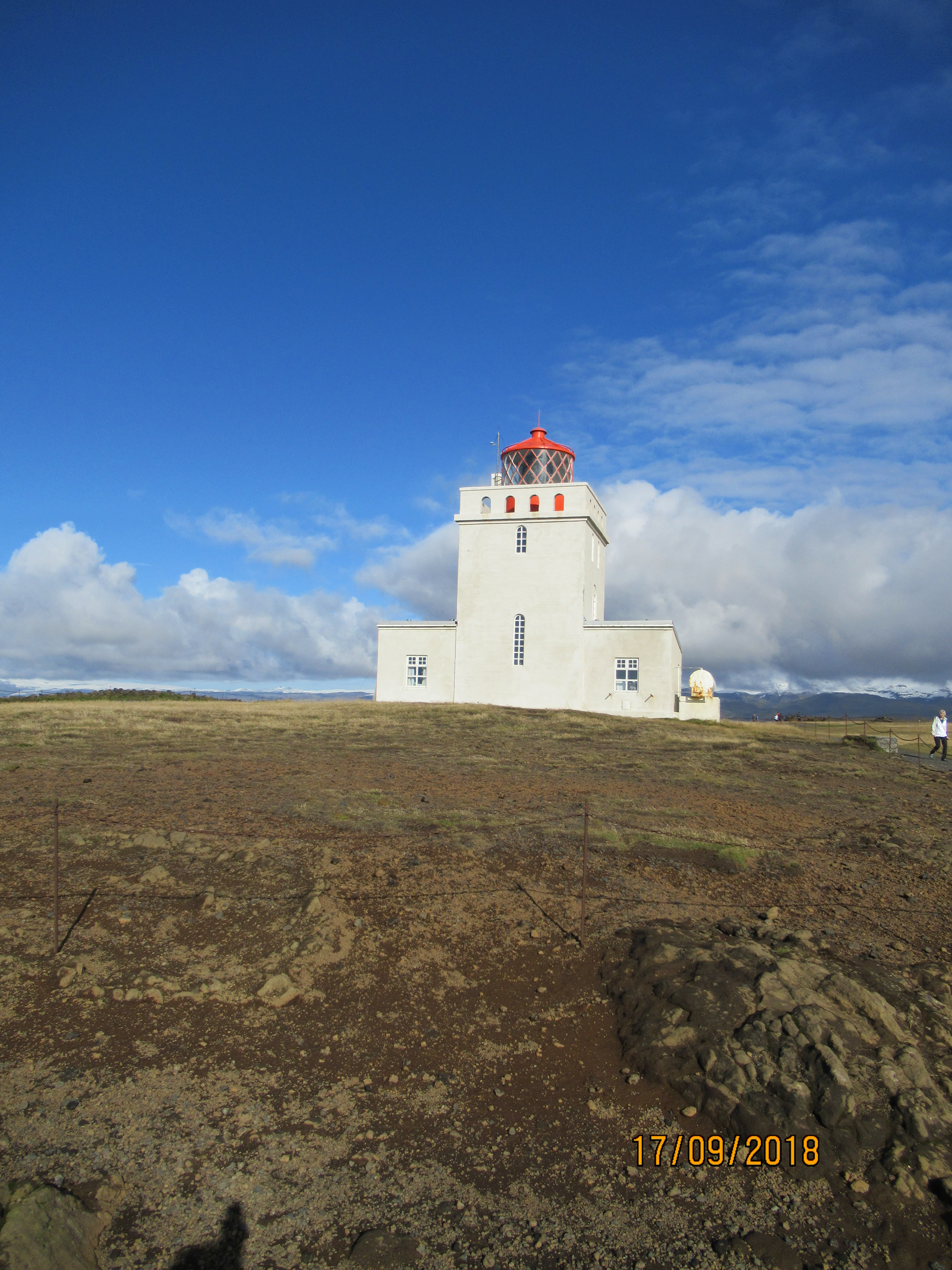
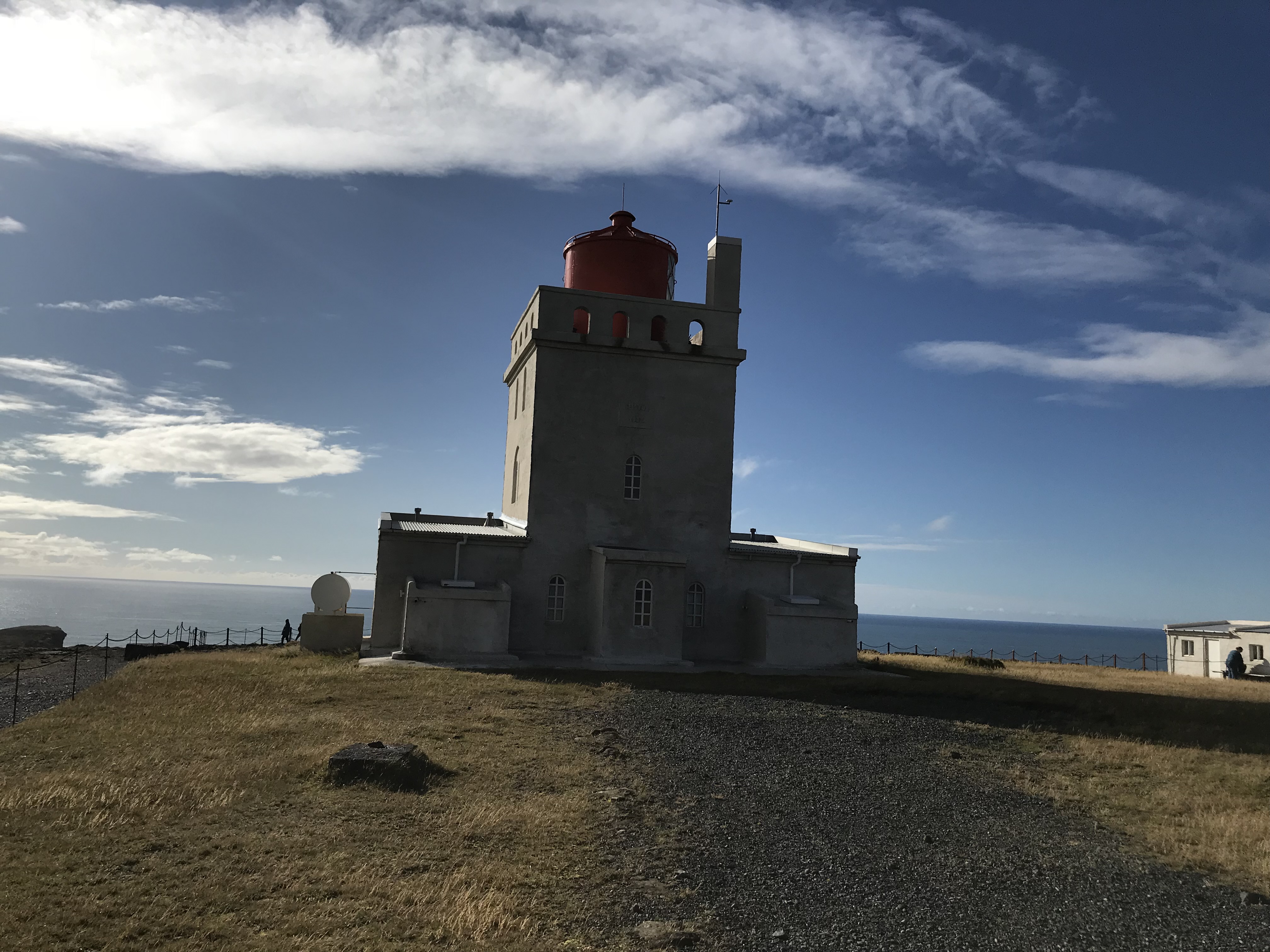
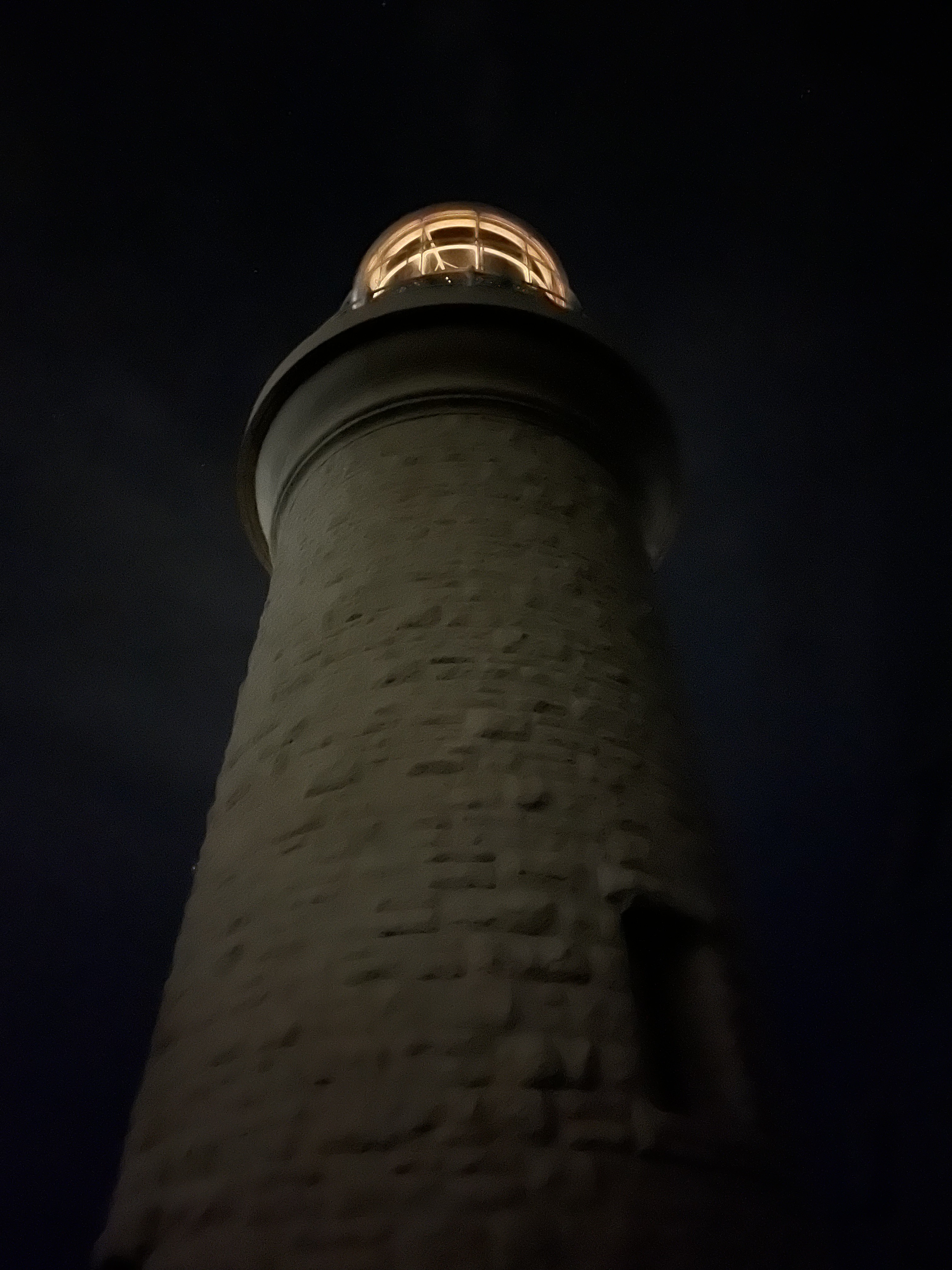
Dyrhólaey
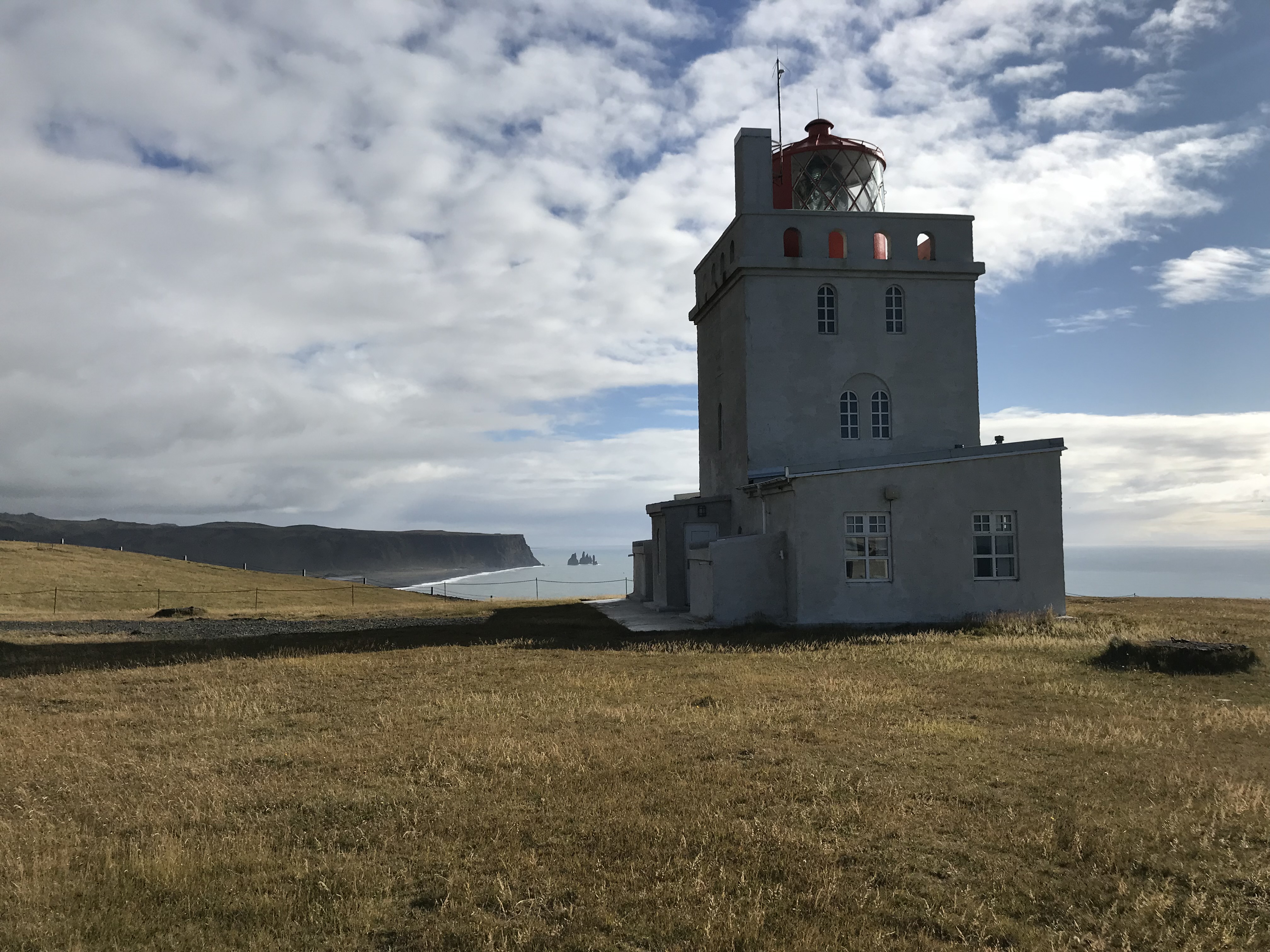
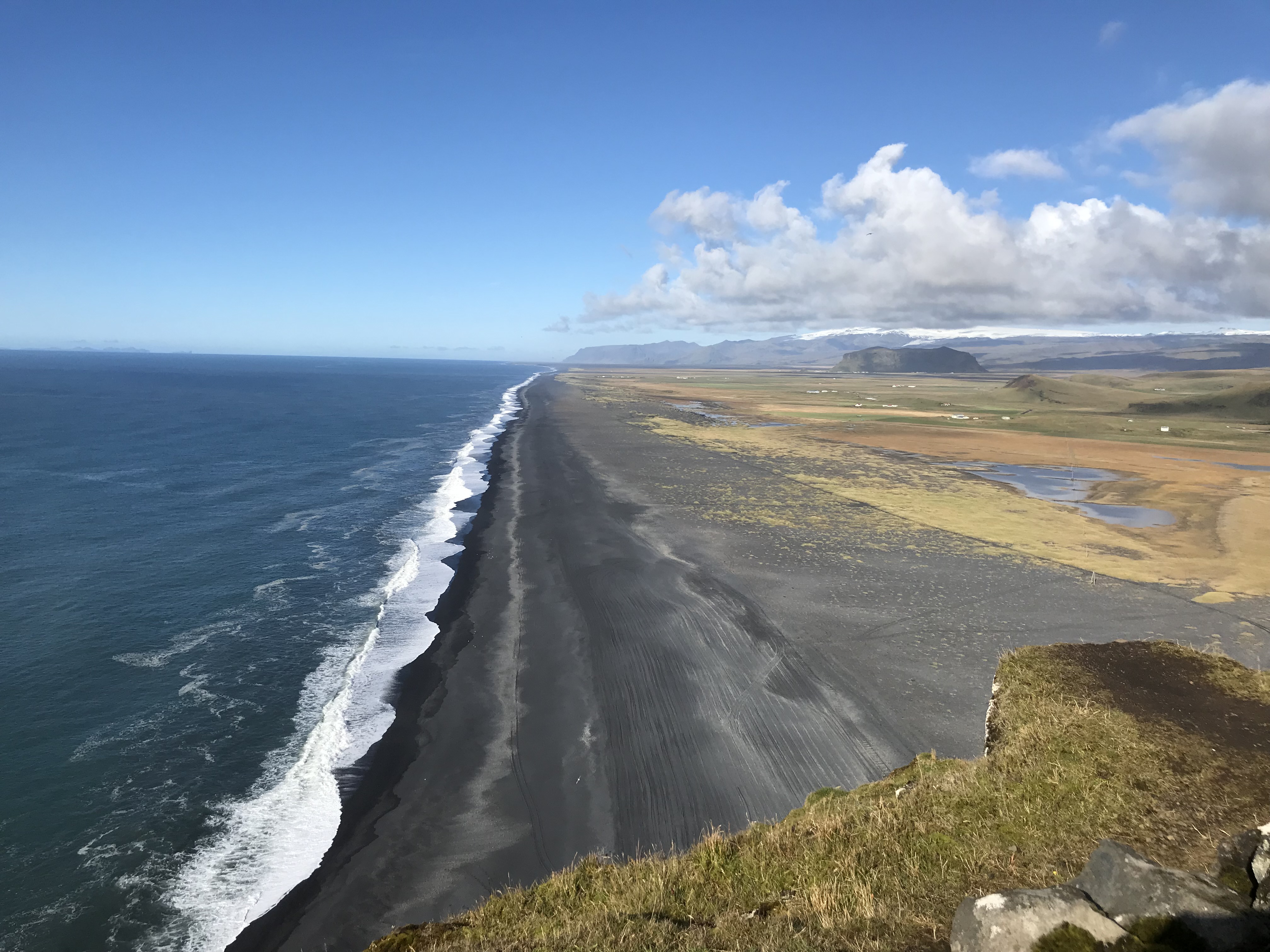
Dyrhólaey, as you might have guessed from the name, is the first of my Icelandic lighthouses – there are two more. It’s become a tourist attraction in its own right due to its position on the cliffs above the black sand beaches, and features in a lot of very pretty photos. But, like all the other lighthouses on this list, it serves an important maritime purpose. Dyrhólaey began life as the first lighthouse in Iceland in a basic iron framed structure in 1910, before the lighthouse you see now was built in concrete in 1927. The highest point is 123 metres above sea level and the light can be seen 43 km out to sea. It used to have a radio beacon that planes used to position themselves, but it was removed after WWII. Dyrhólaey was personned until 2015, despite the fact it was electrified in 1964. Dyrhólaey marks the southern most point of Iceland.
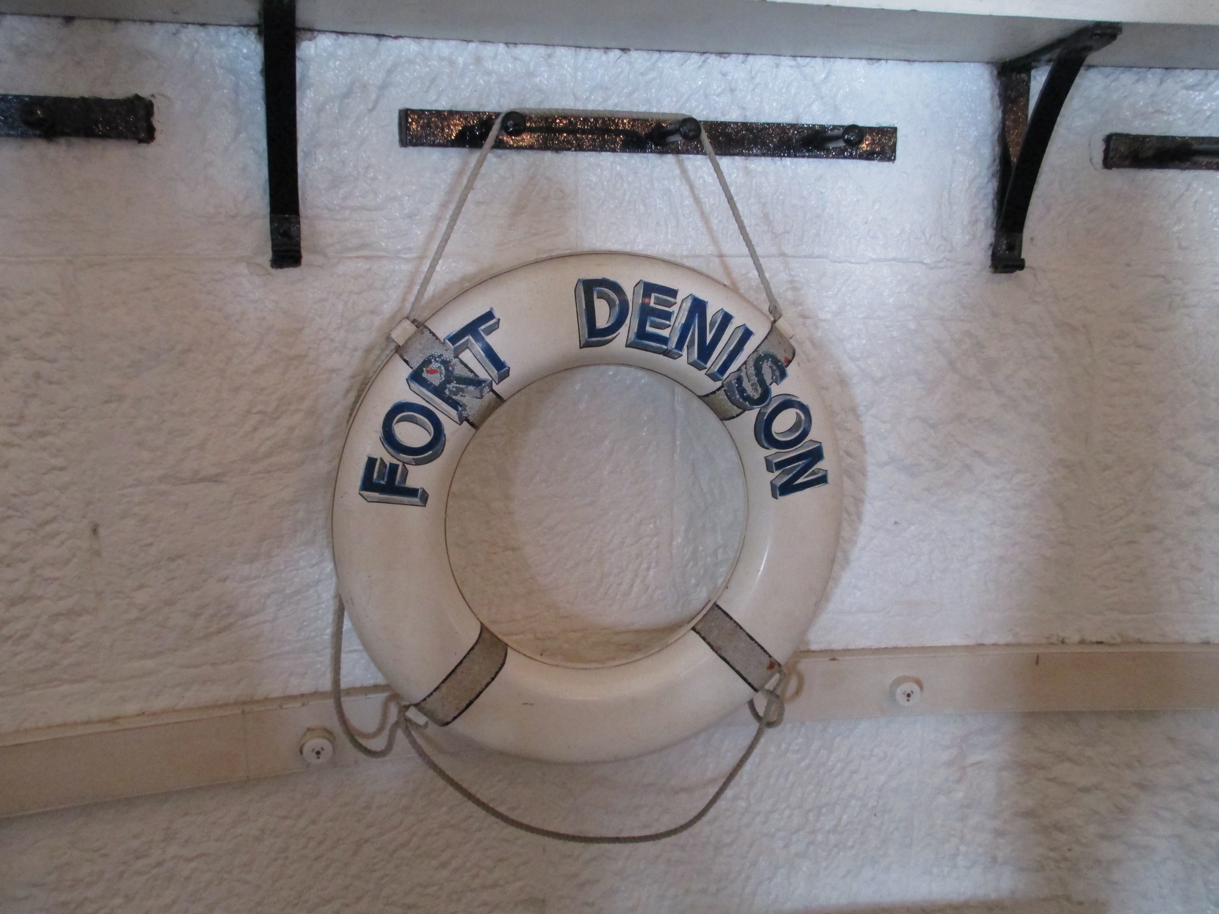
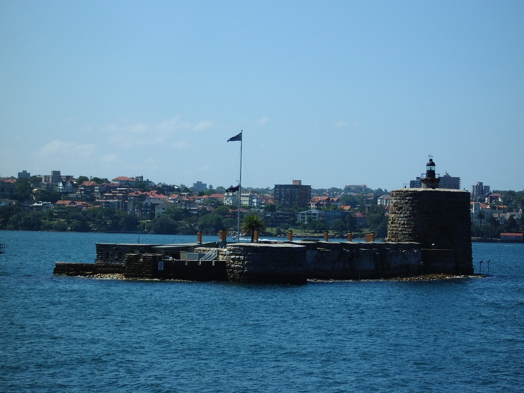
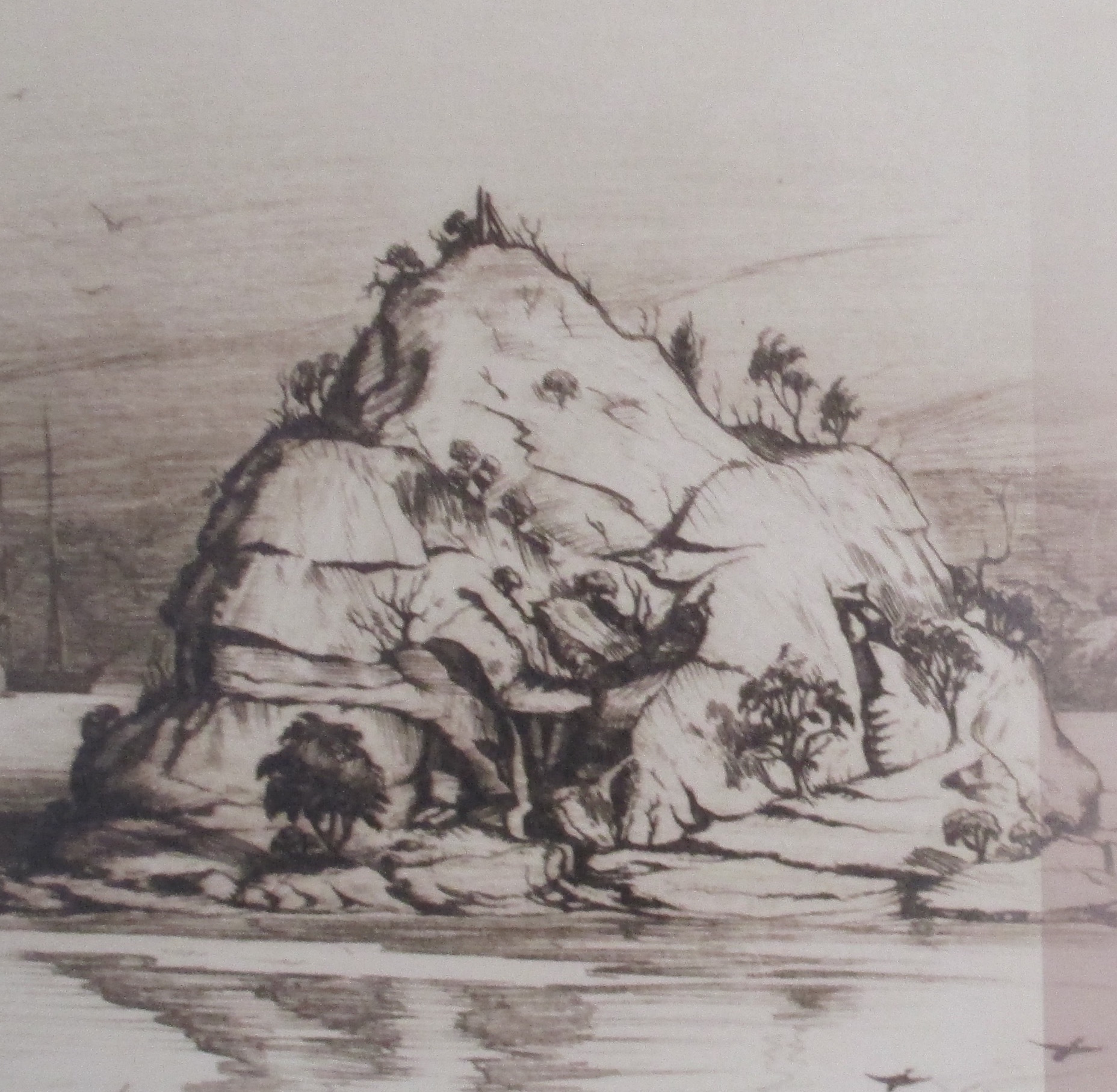
Fort Denison
Fort Denison is another lighthouse I’ve written about before, well about the Fort as a whole anyway. You can read that here
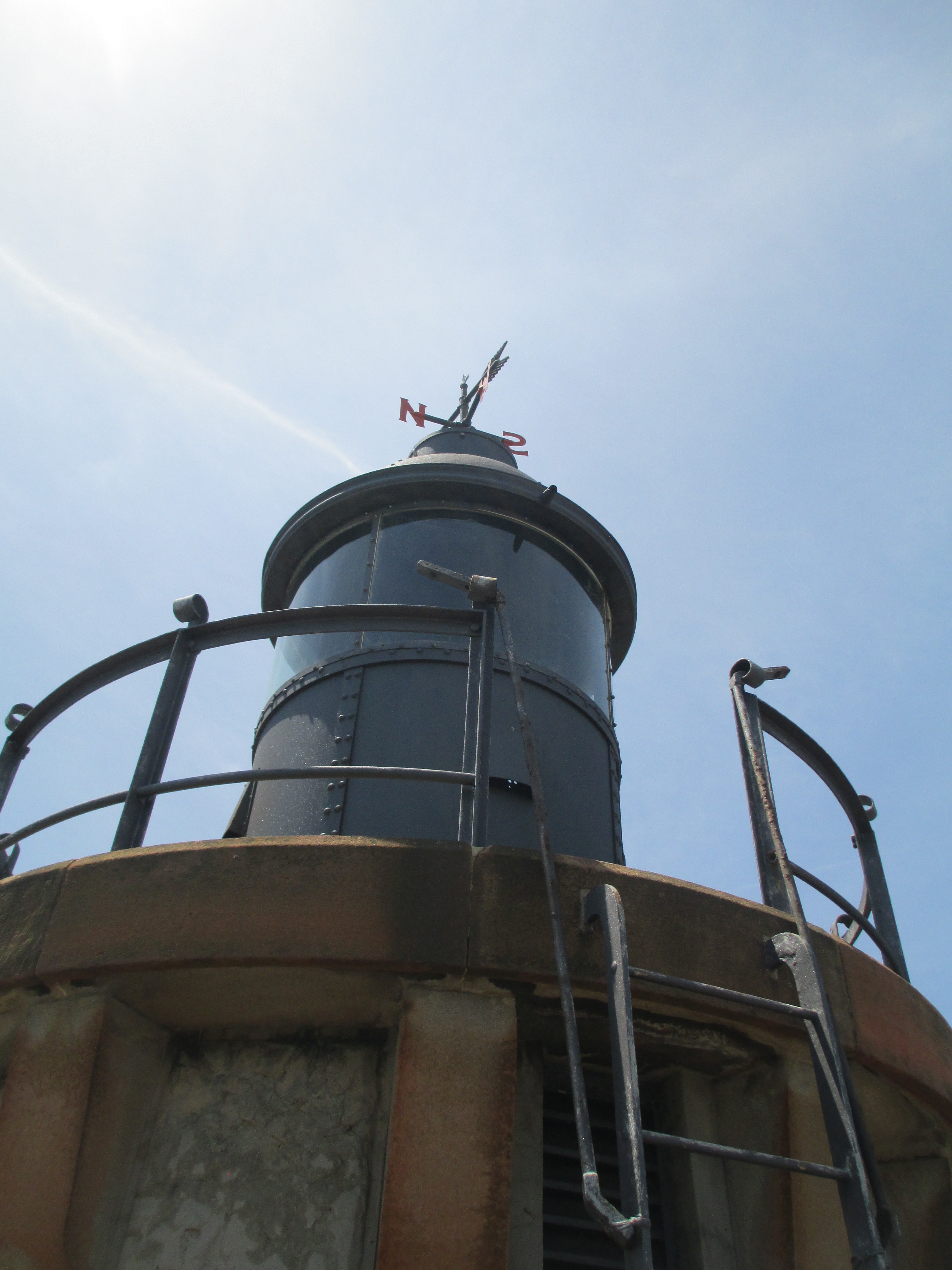
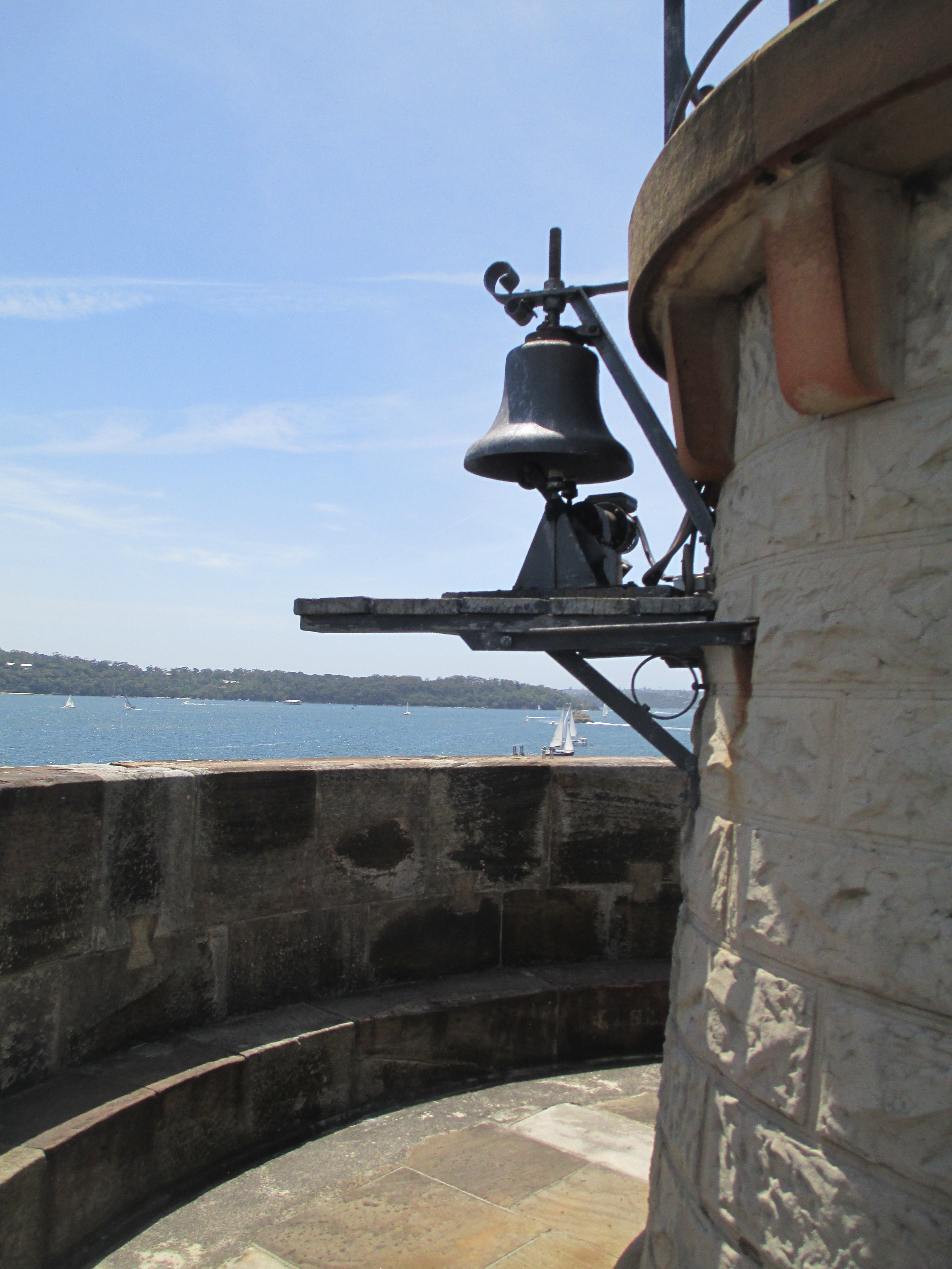
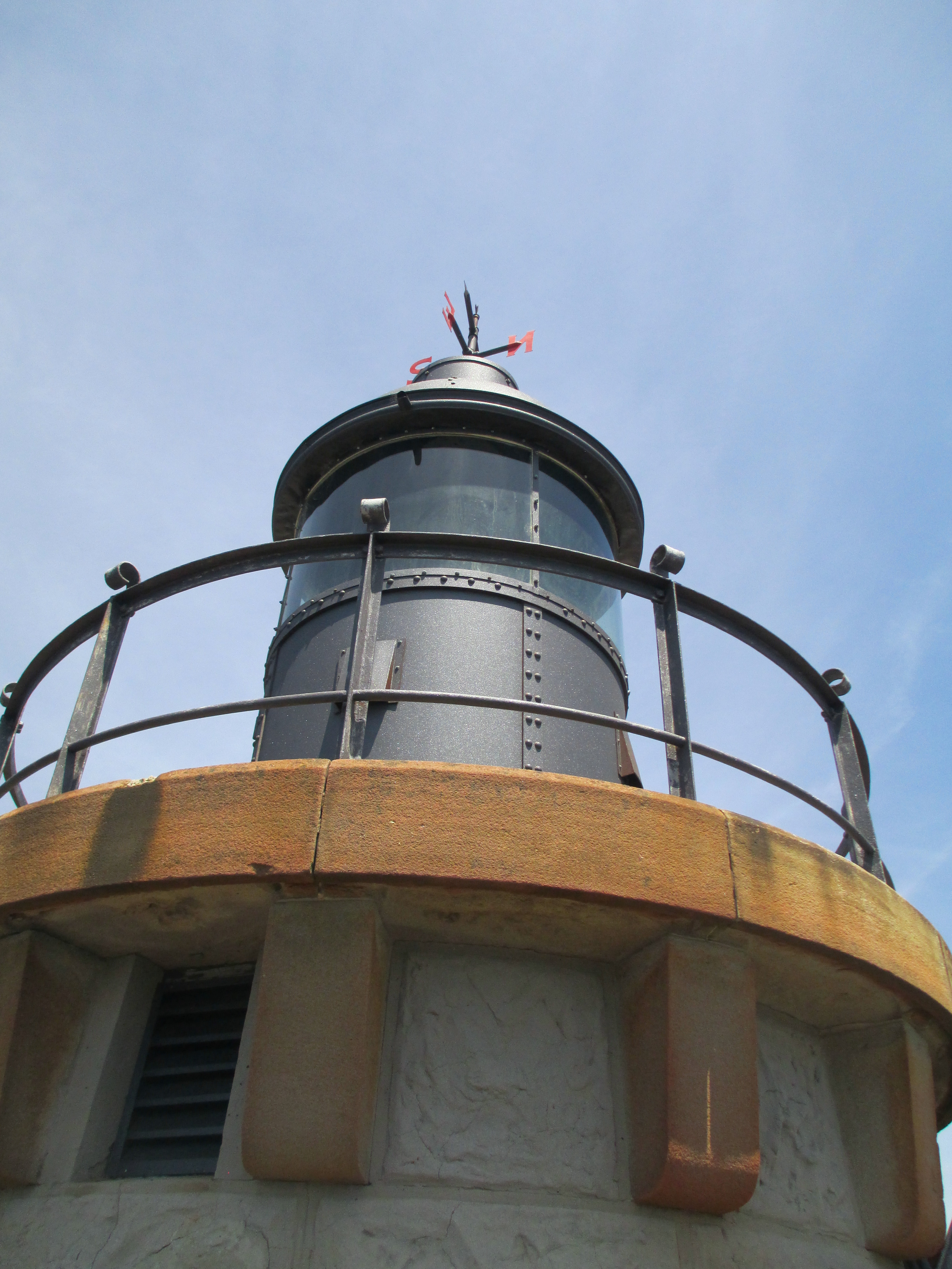
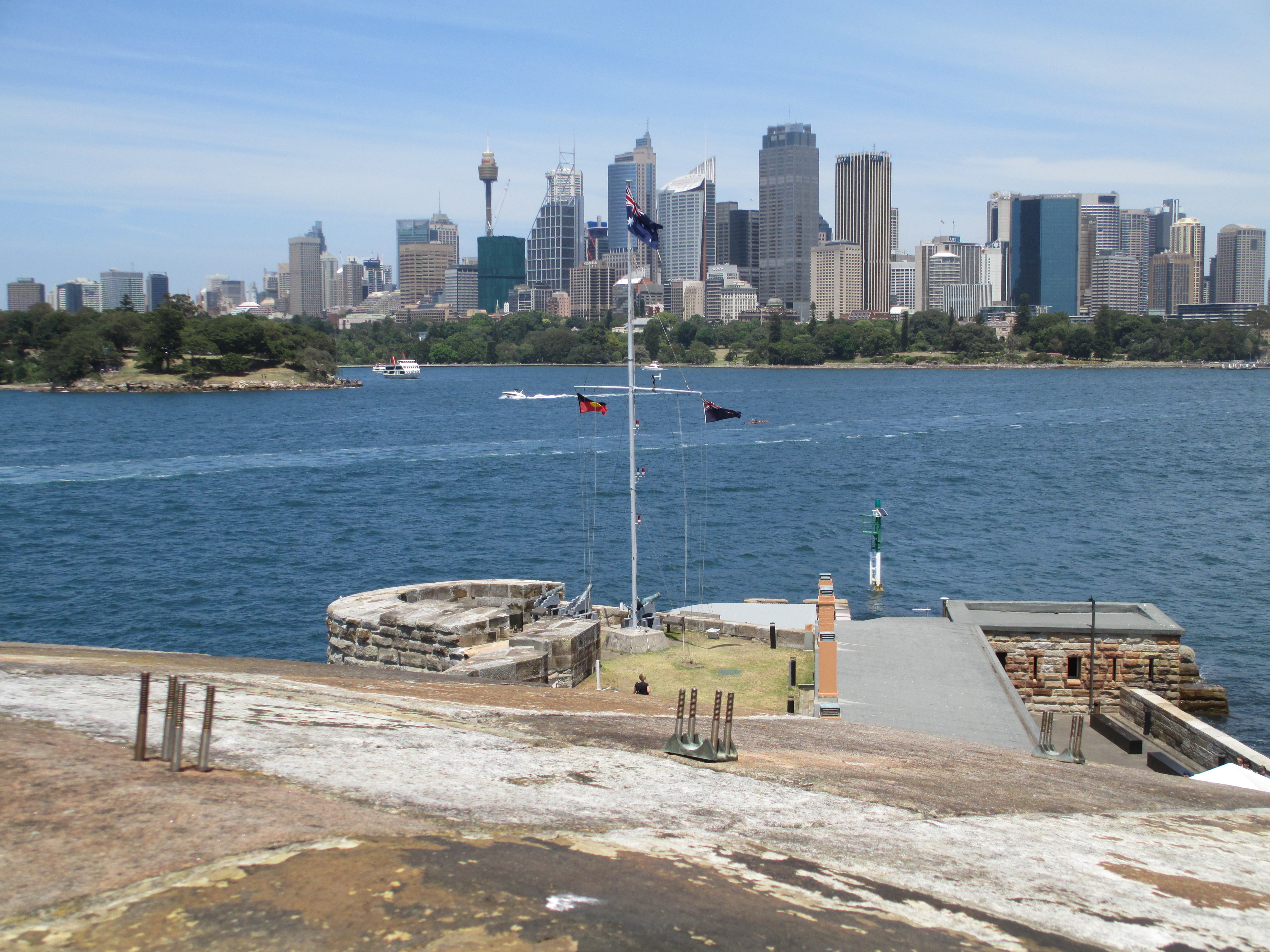
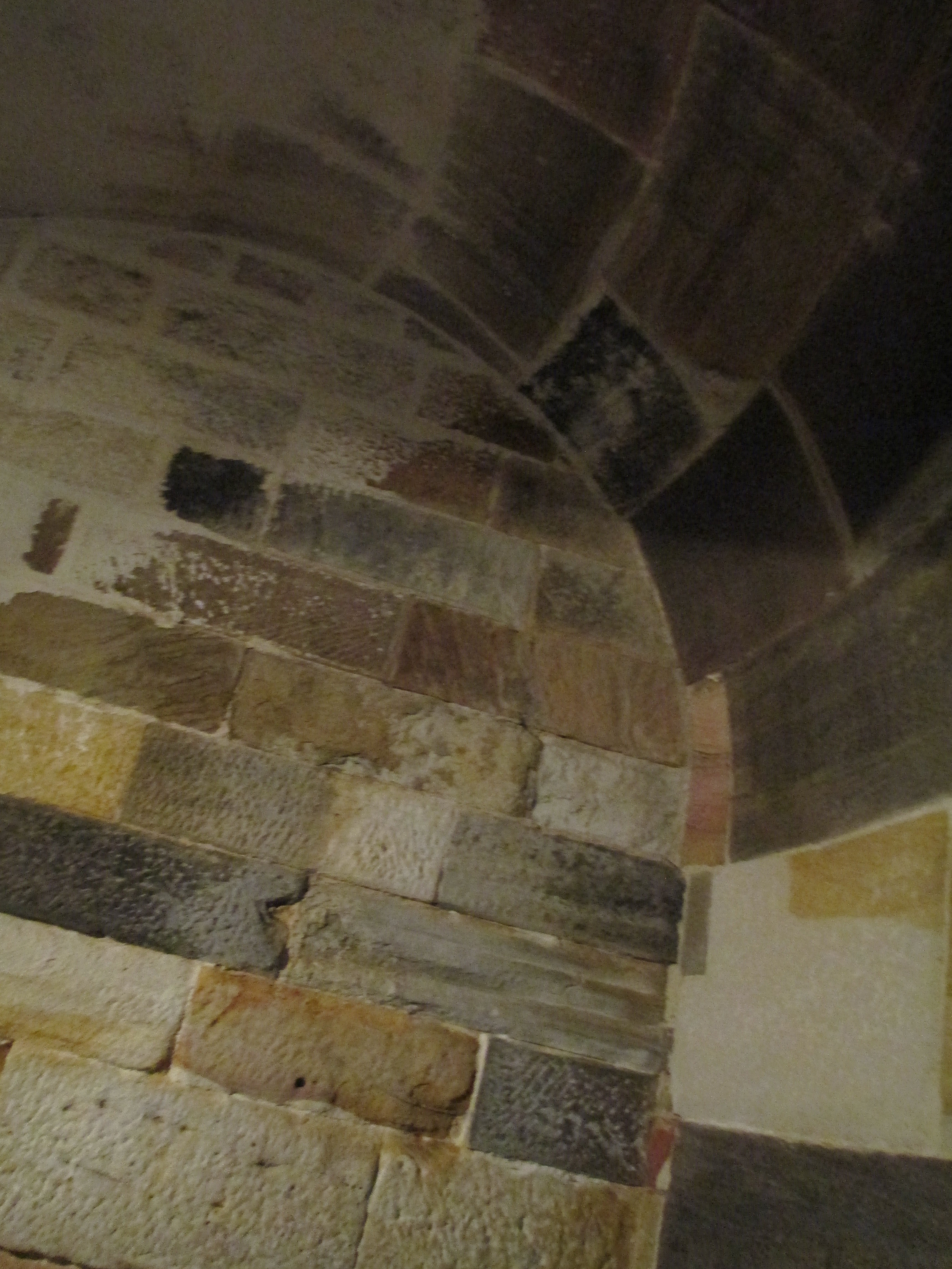
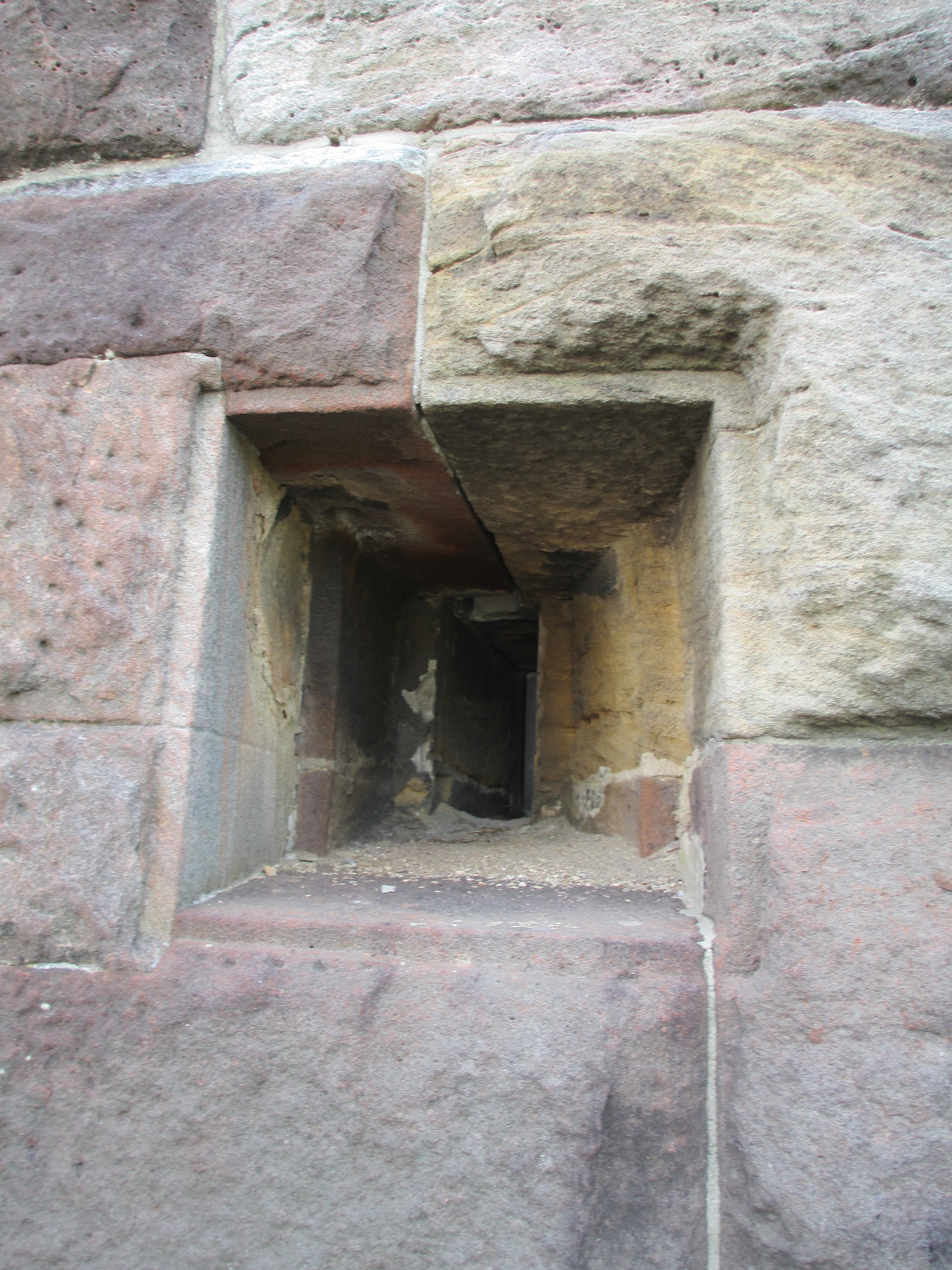
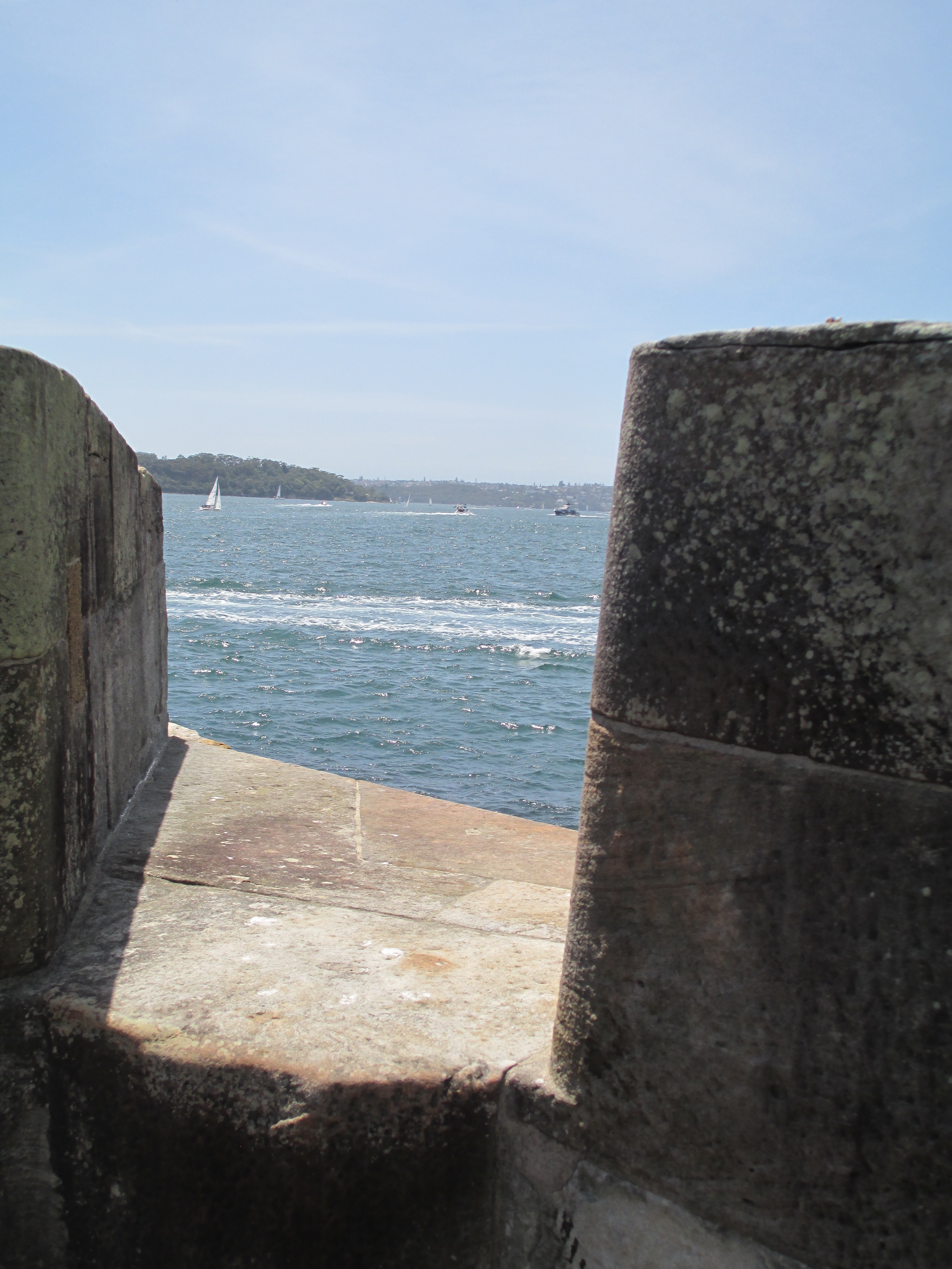
Fort Denison lighthouse, standing pride of place on an island in Sydney Harbour, has the distinction of being on the last Martello Tower built in the British Empire and the only one built in Australia. Martello towers were a series of coastal defences used across the British Empire, that were inspired by a Genoese fort built on Corsica in the 16th century. There were 140 of these towers across the Empire, and they were intended to hold off enemy warships armed with cannons. There would have been a cannon on the top and there are still three cannons inside the tower. By the time Fort Denison was built in 1857 – the whole island then known as Pinchgut had to be levelled by convict labor first- Martello towers were becoming obsolete. By the 1870s armour plating on ships, and the range of guns on said ships, rendered the tower completely obsolete as a defensive structure. This did not negate its role as a lighthouse however. The island was basically in the way of shipping, so in 1913 the light replaced the top cannon. Fort Denison is also the site of Sydney’s tide gauge and fog warning bell.
Gantheaume Point
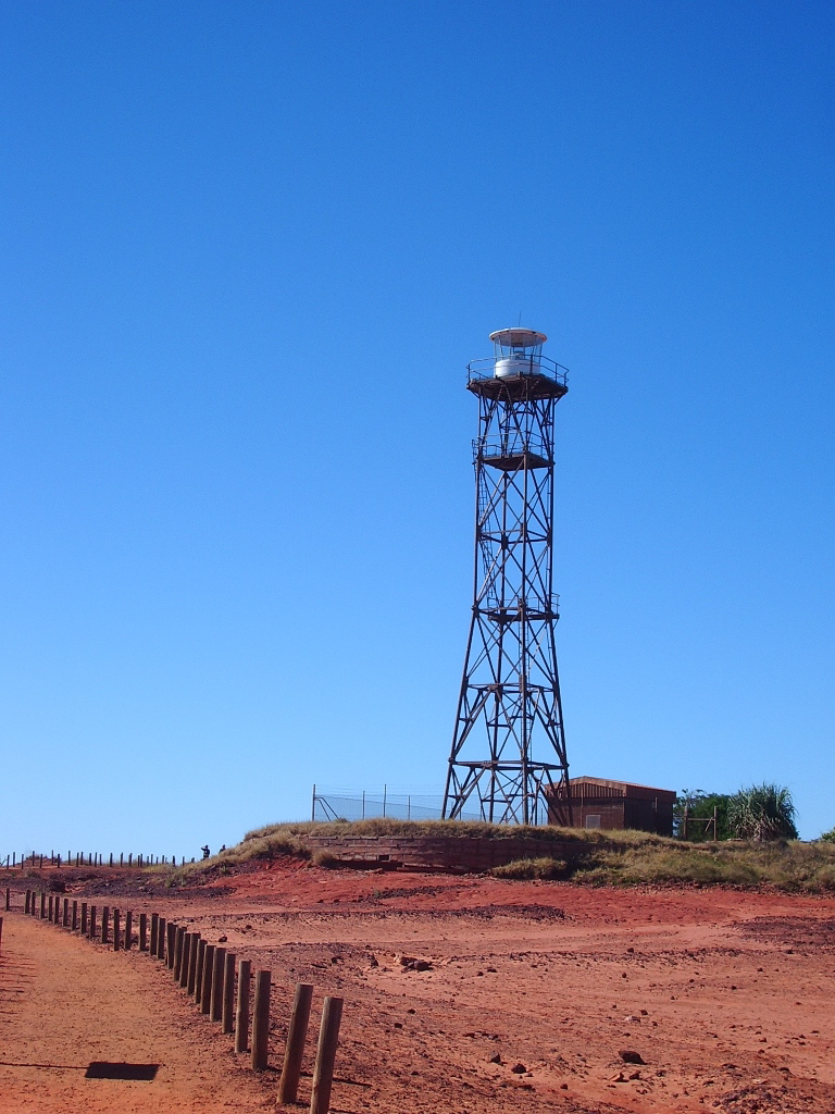
Gantheaume Point is a very different sort of lighthouse, standing on the coast of far north Western Australia, just out of Broome. This is my only photo of it too, taken in 2007. This metal tower might not have the grandeur of the other towers in this list, but it still served a vital purpose all the same. The first iteration of this light was a fixed light, that did not flash, which was installed in 1905 after lobbying by traders and pearlers. The fixed light though proved to be problematic as it couldn’t be differentiated from a stationary ship, so other iterations were built. These iterations culminated in the current structure, the fourth iteration, which was built in 1983, which makes it the newest lighthouse on this list. It stands at 27 metres high and flashes every ten seconds.
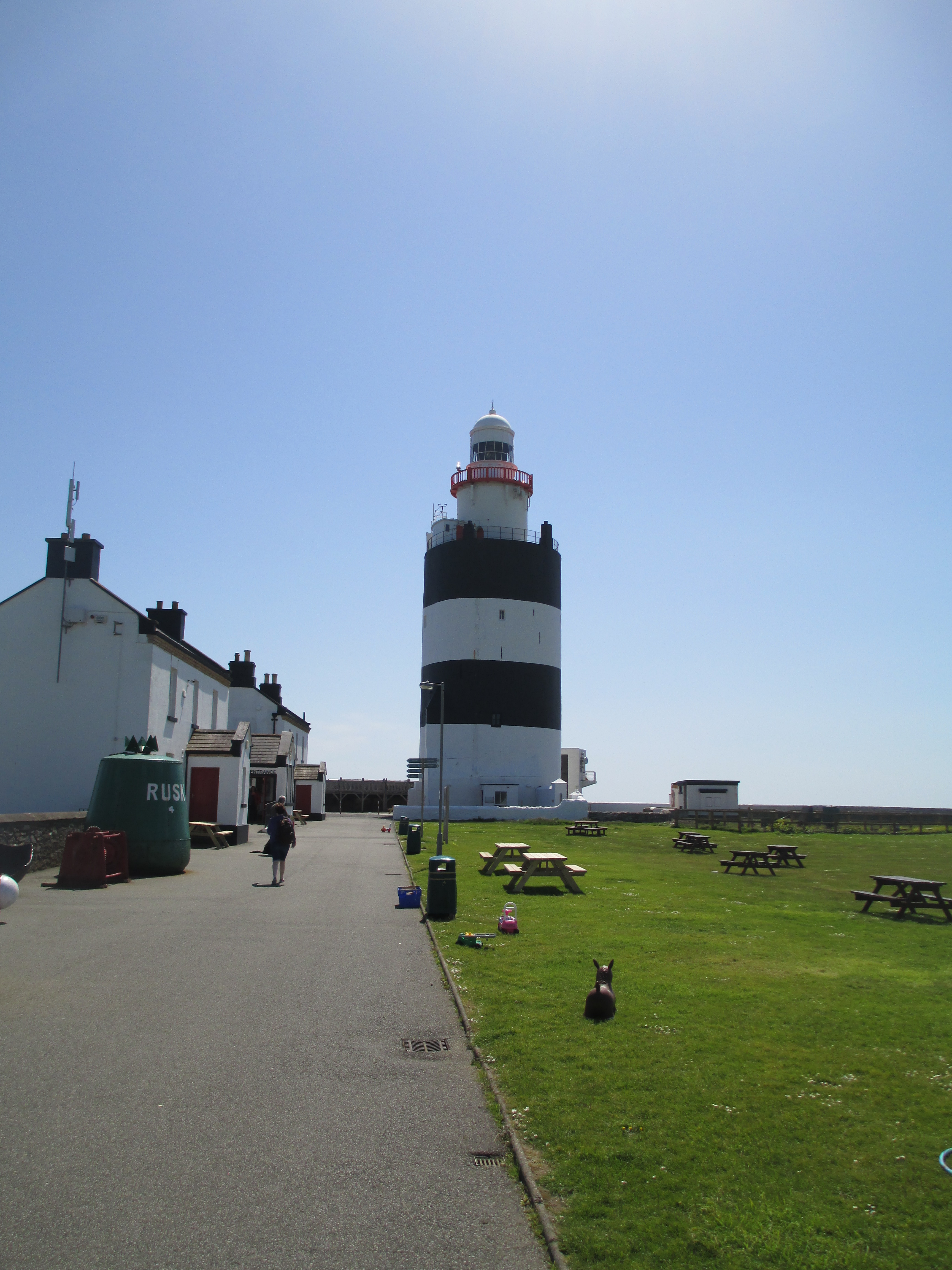
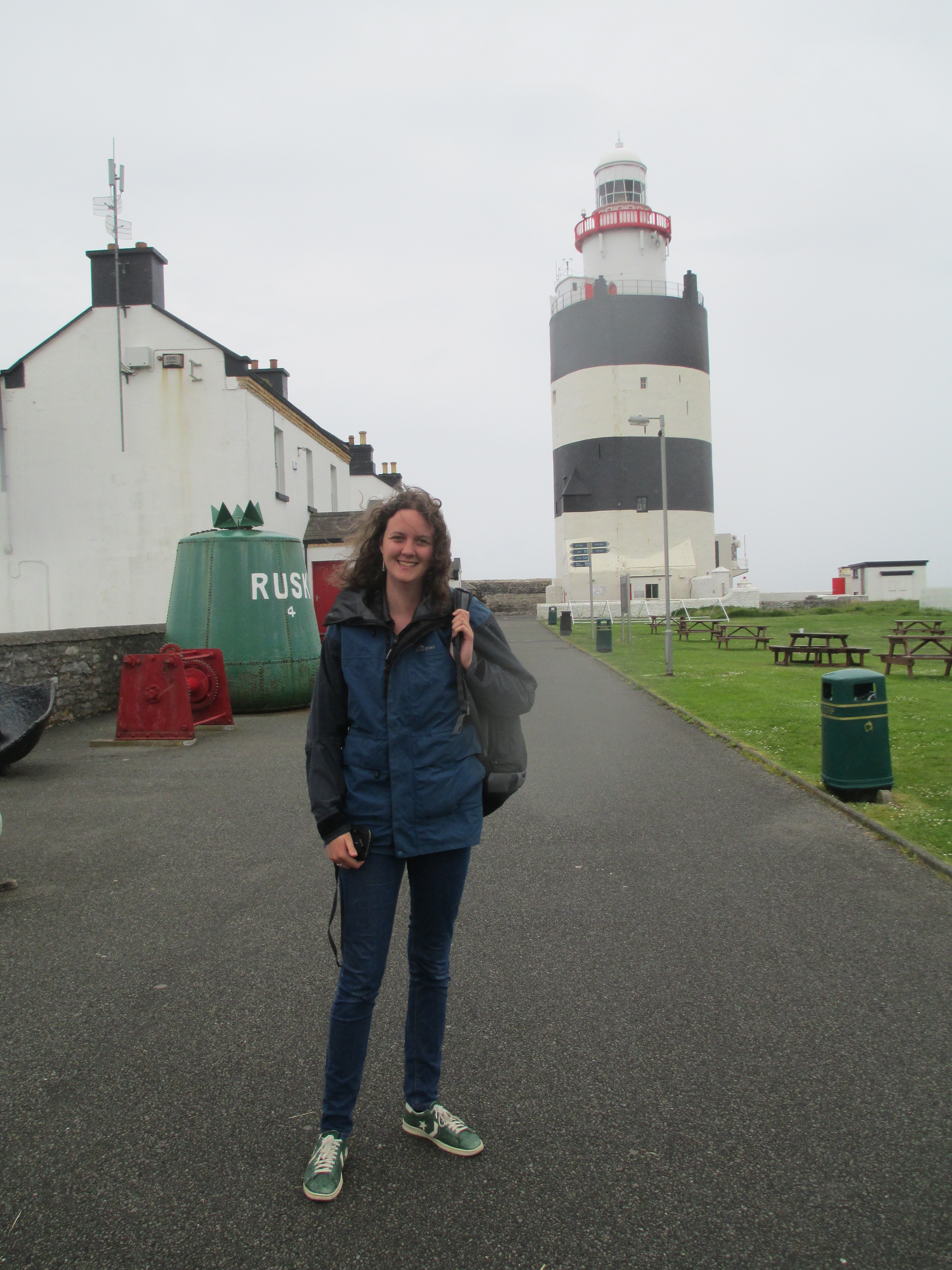
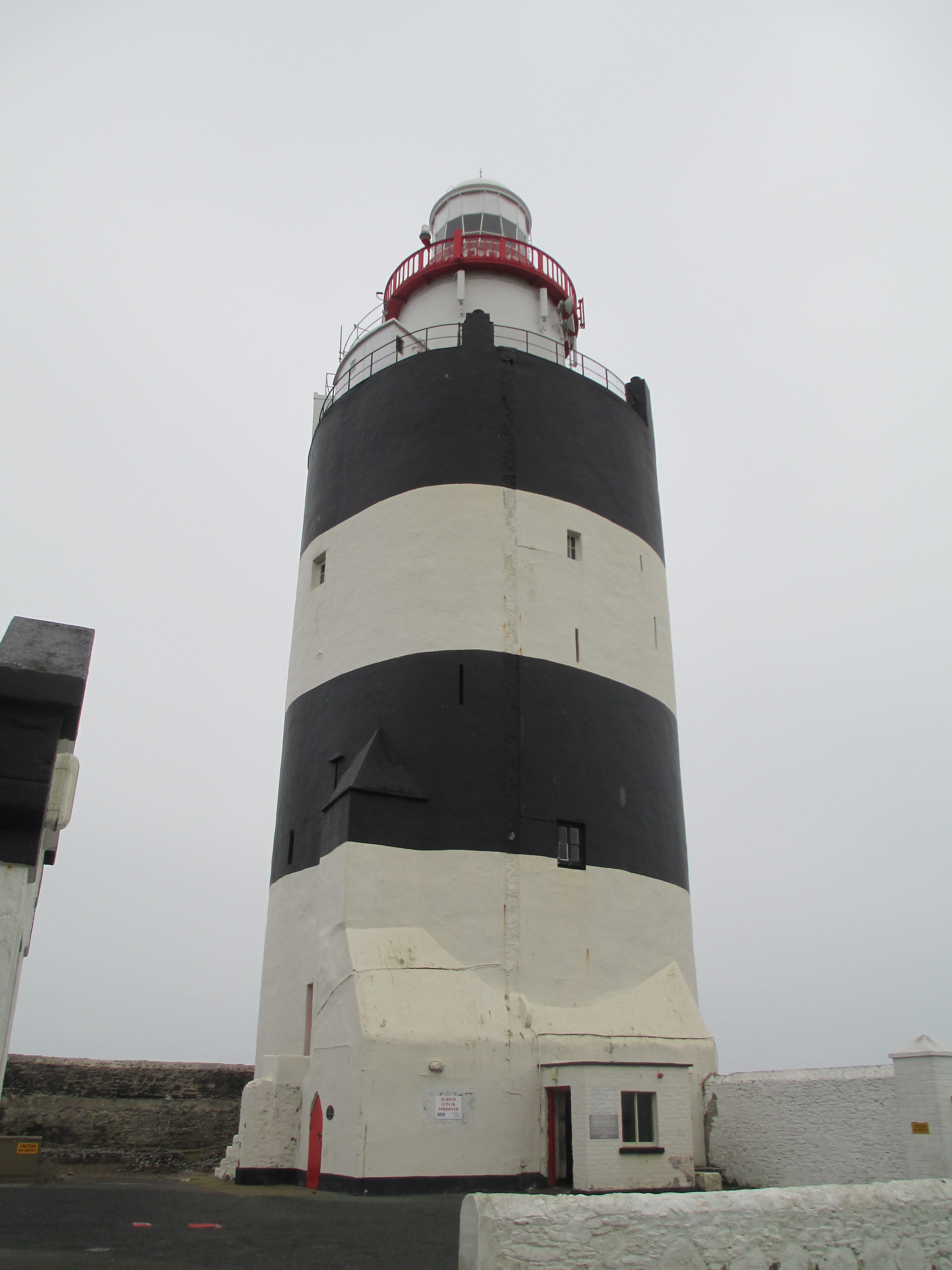
Hook
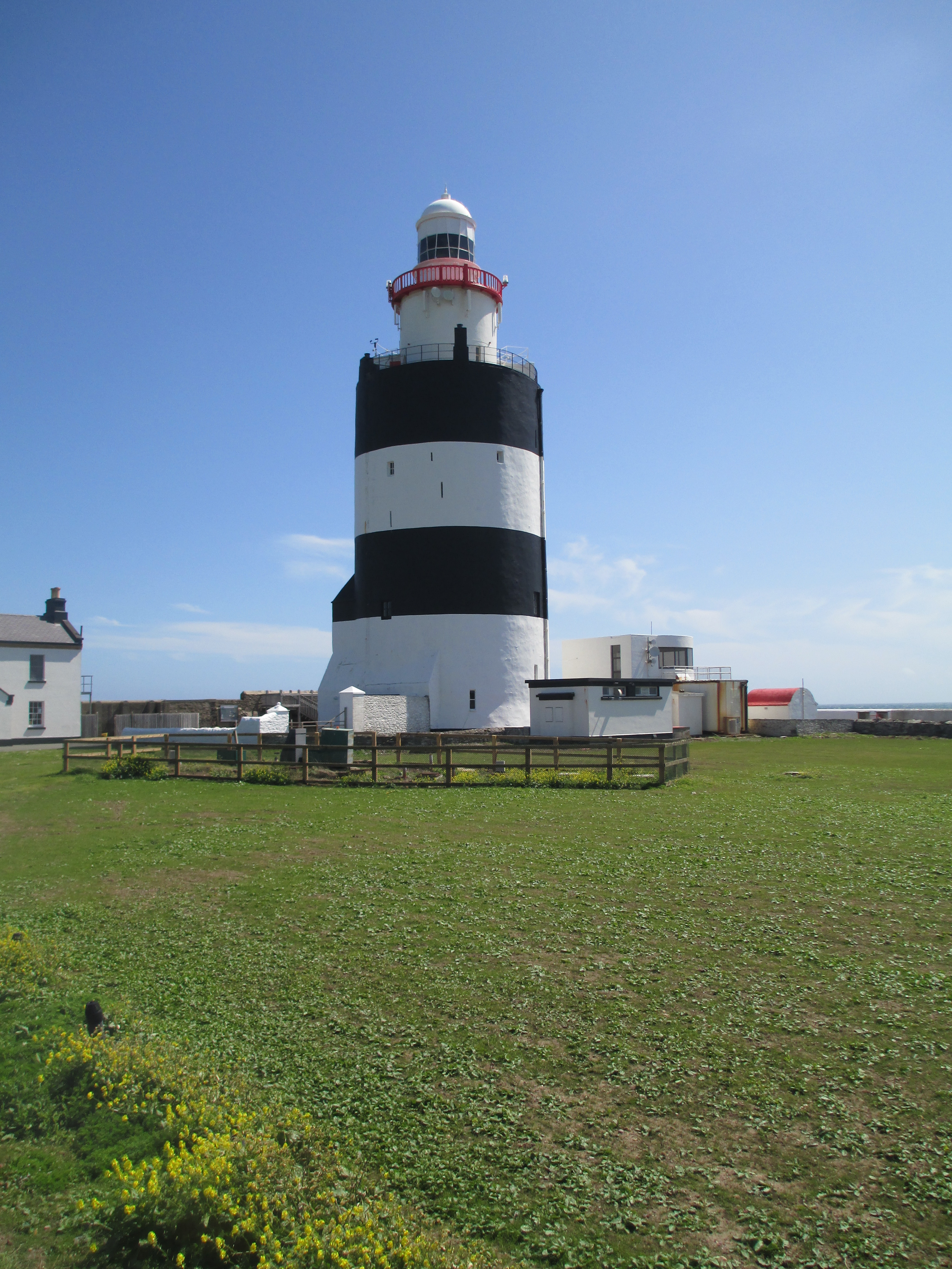
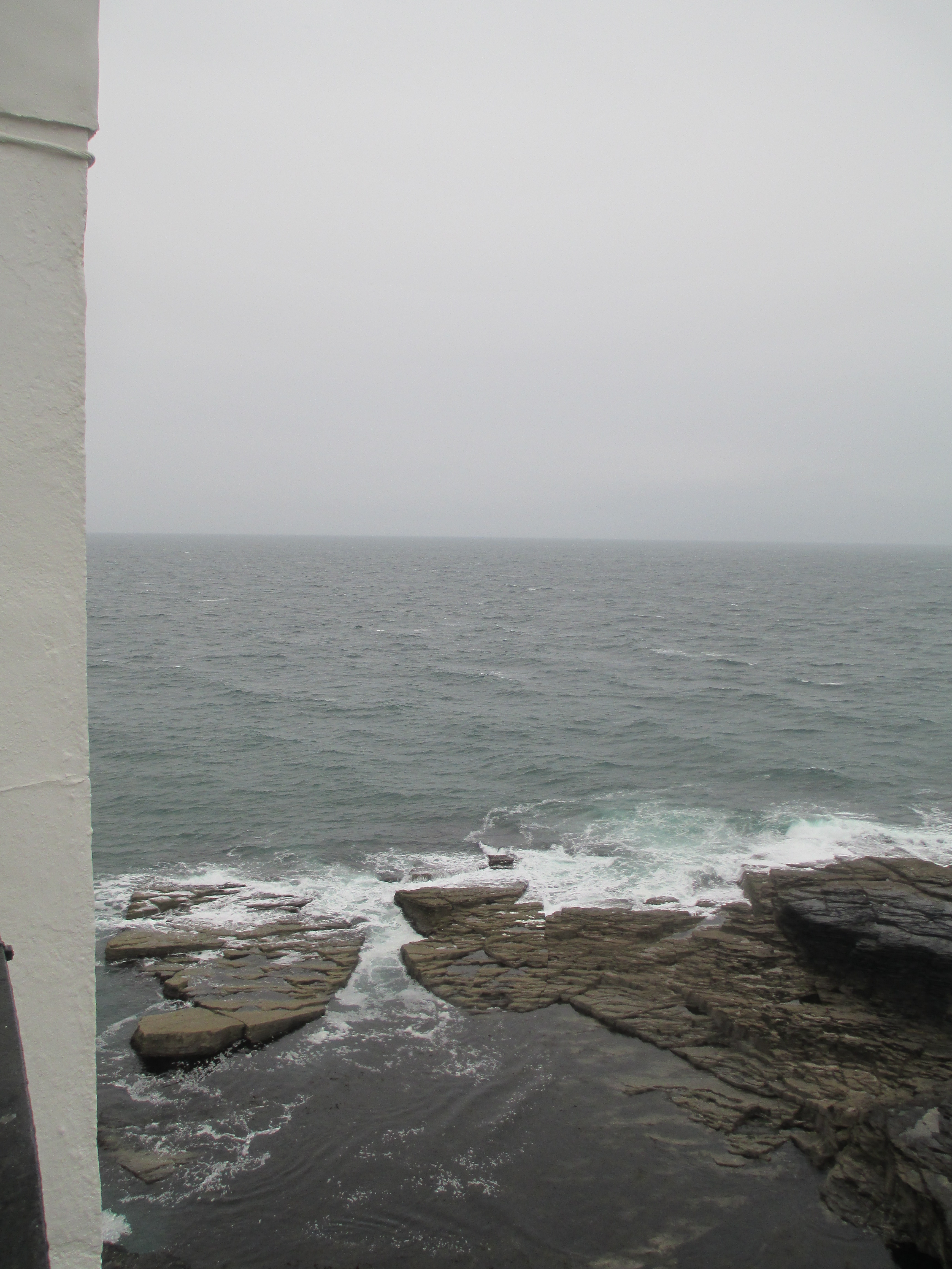
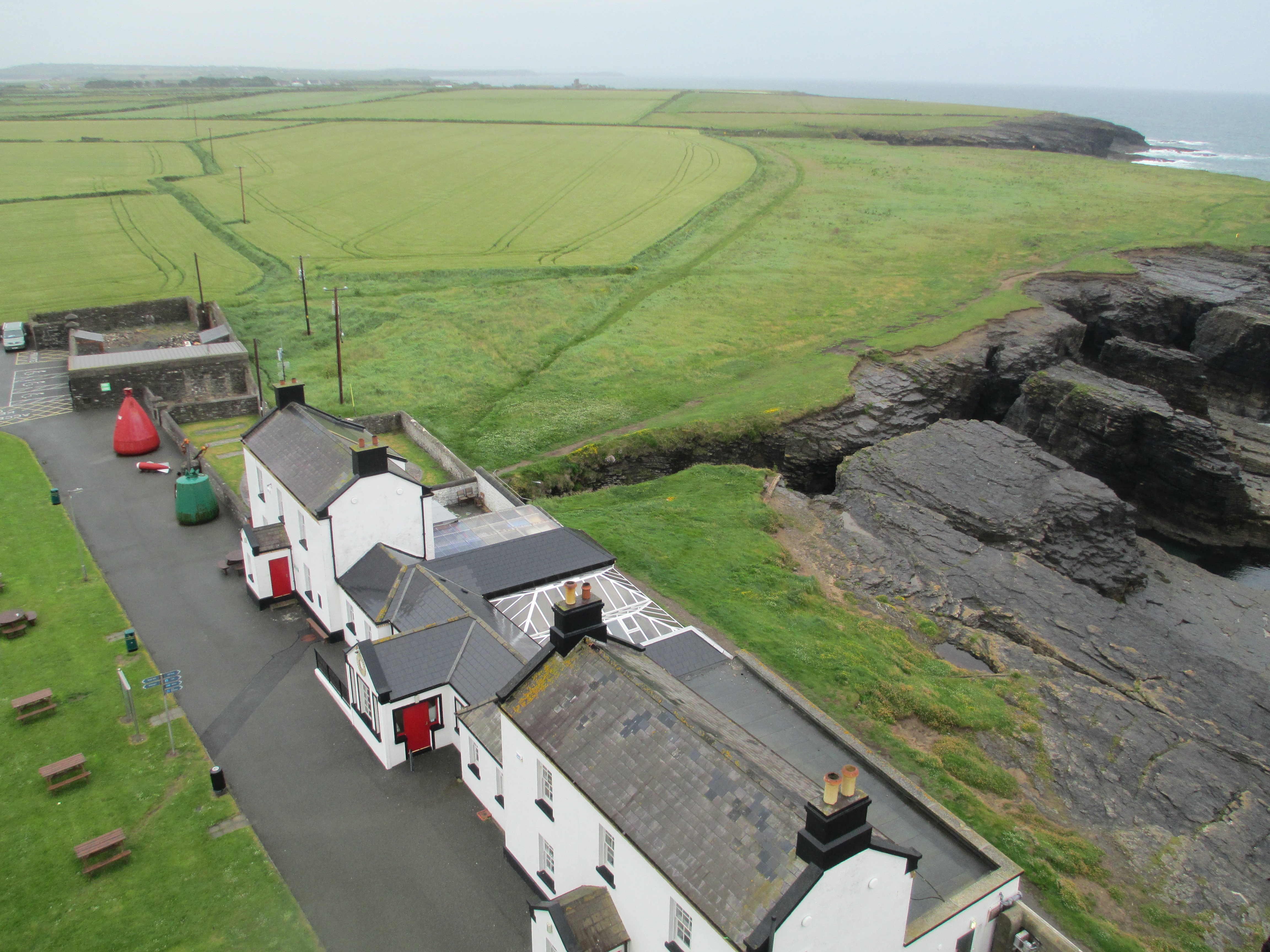
By far the oldest lighthouse on this blog, this iteration was built in the 1200s, is one of two Irish lighthouses on this list, and it’s also one I’ve written about in detail before, which you can see here. It’s probably my favourite because it is a confluence of two of my favourite things – lighthouses and medieval history. It also helps that it was built for William Marshal who I wrote my honours thesis on. I’ve written about Marshal extensively on this blog. But to return to Hook lighthouse. It is one of the oldest working lighthouses in the world. It stands as a testament to the both the danger of the seas around the Hook Head Peninsula and the importance of the travel route that passes its tip.
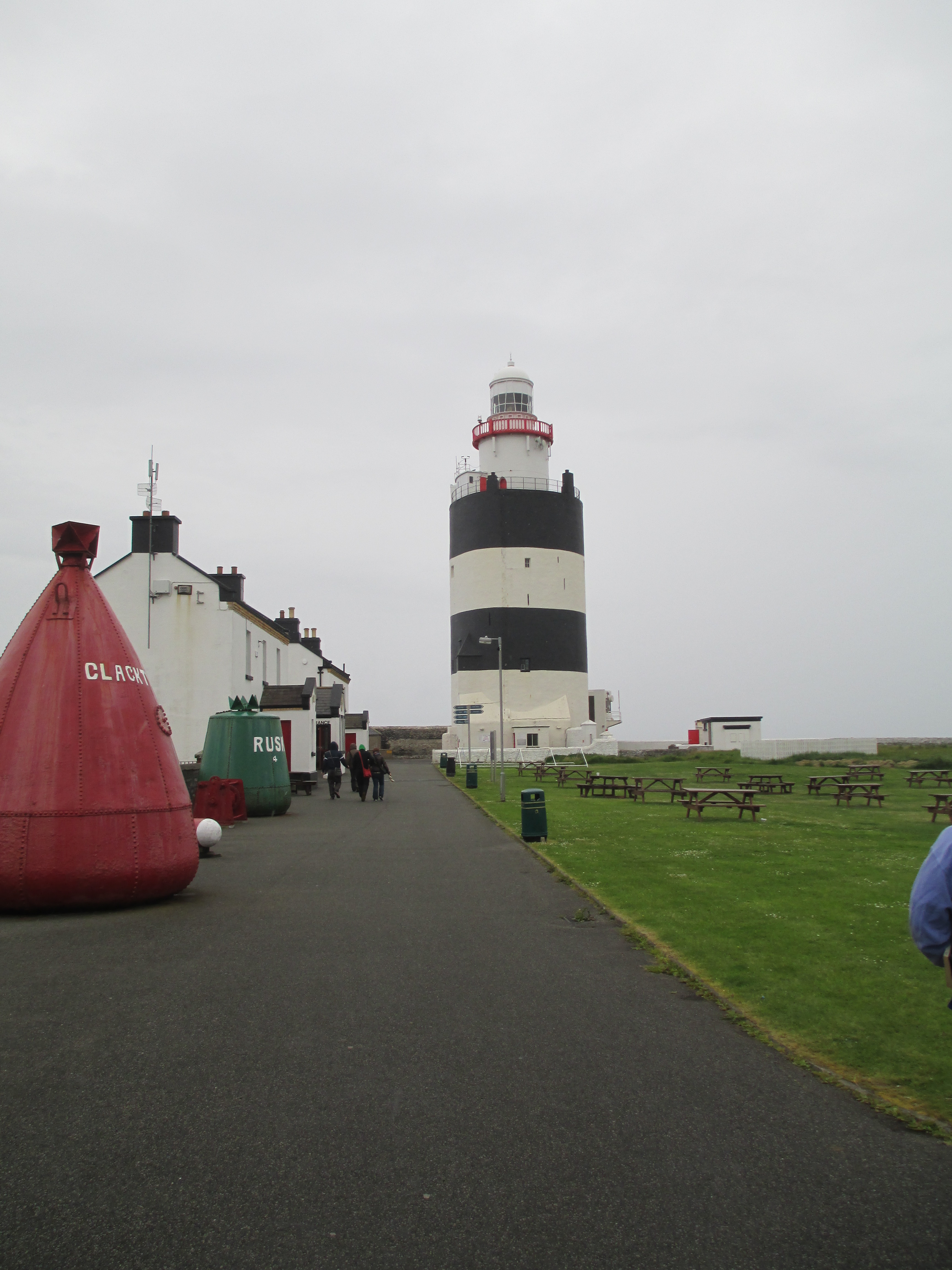
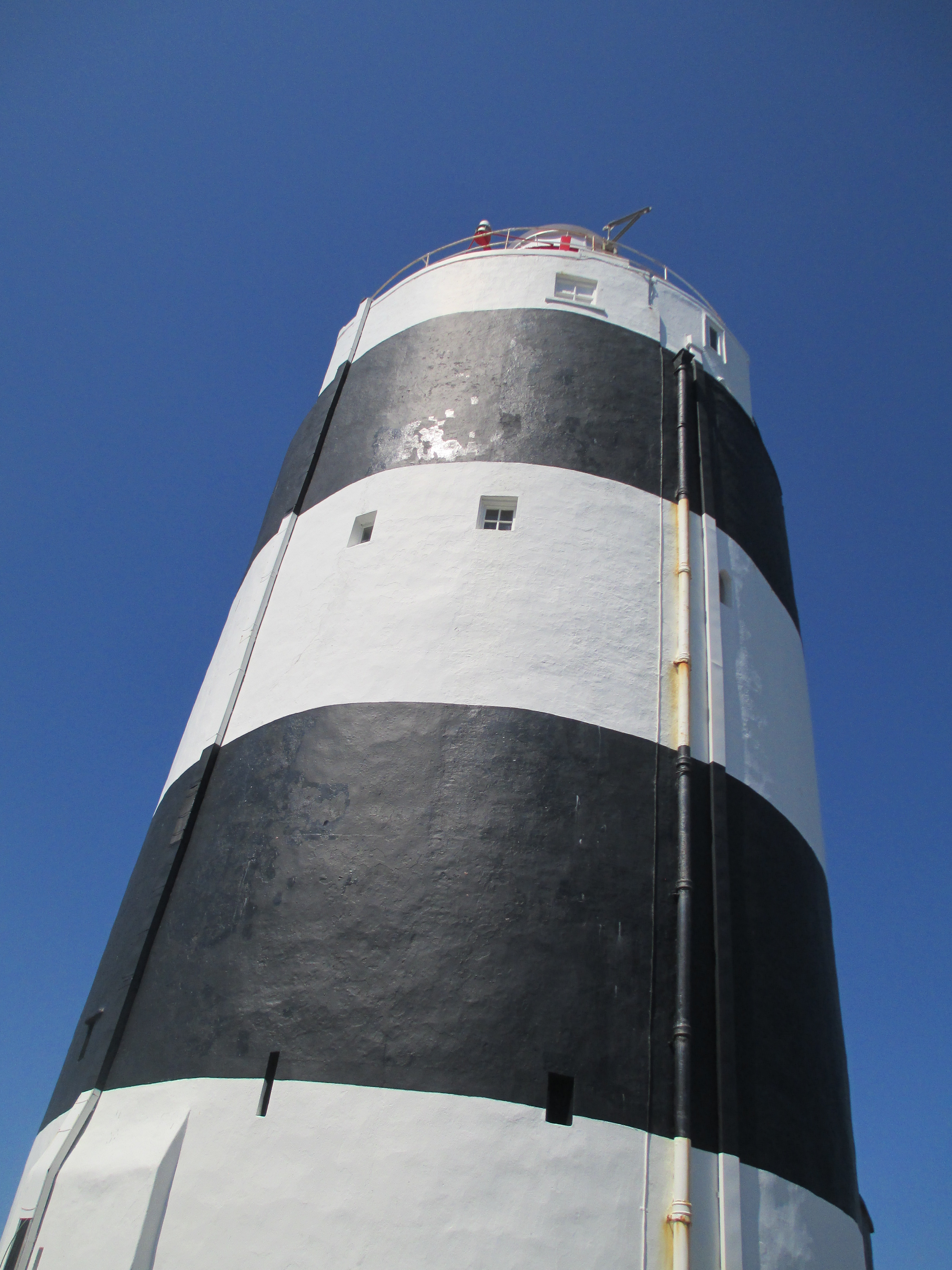
The lighthouse itself was probably originally begun in the early 1200s on the orders of William Marshal. Marshal came to visit the lands in Ireland that came to him by right of his wife Isabel de Clare in 1200-1201. They were caught in a terrible storm crossing the Irish Sea and Marshal vowed to God that if they survived he would found an abbey. The ship didn’t sink and Marshal kept his word. As thanks to God for their survival he founded Tintern Abbey, which also stands on Hook Head Peninsula. The light would have been coal fired and quite simple.The particular black and white striping is unique to the Hook lighthouse so it can be clearly identified by ships.
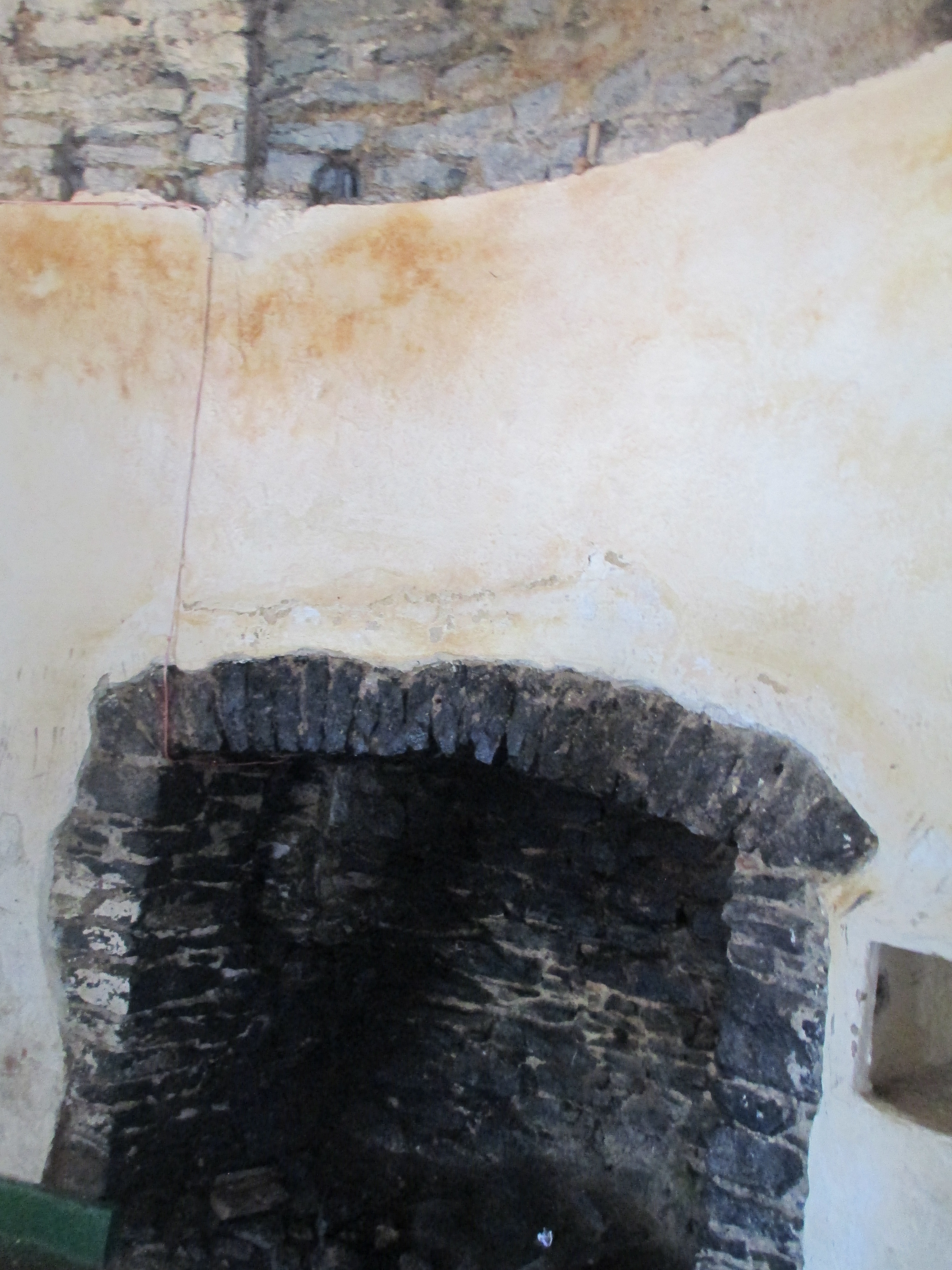
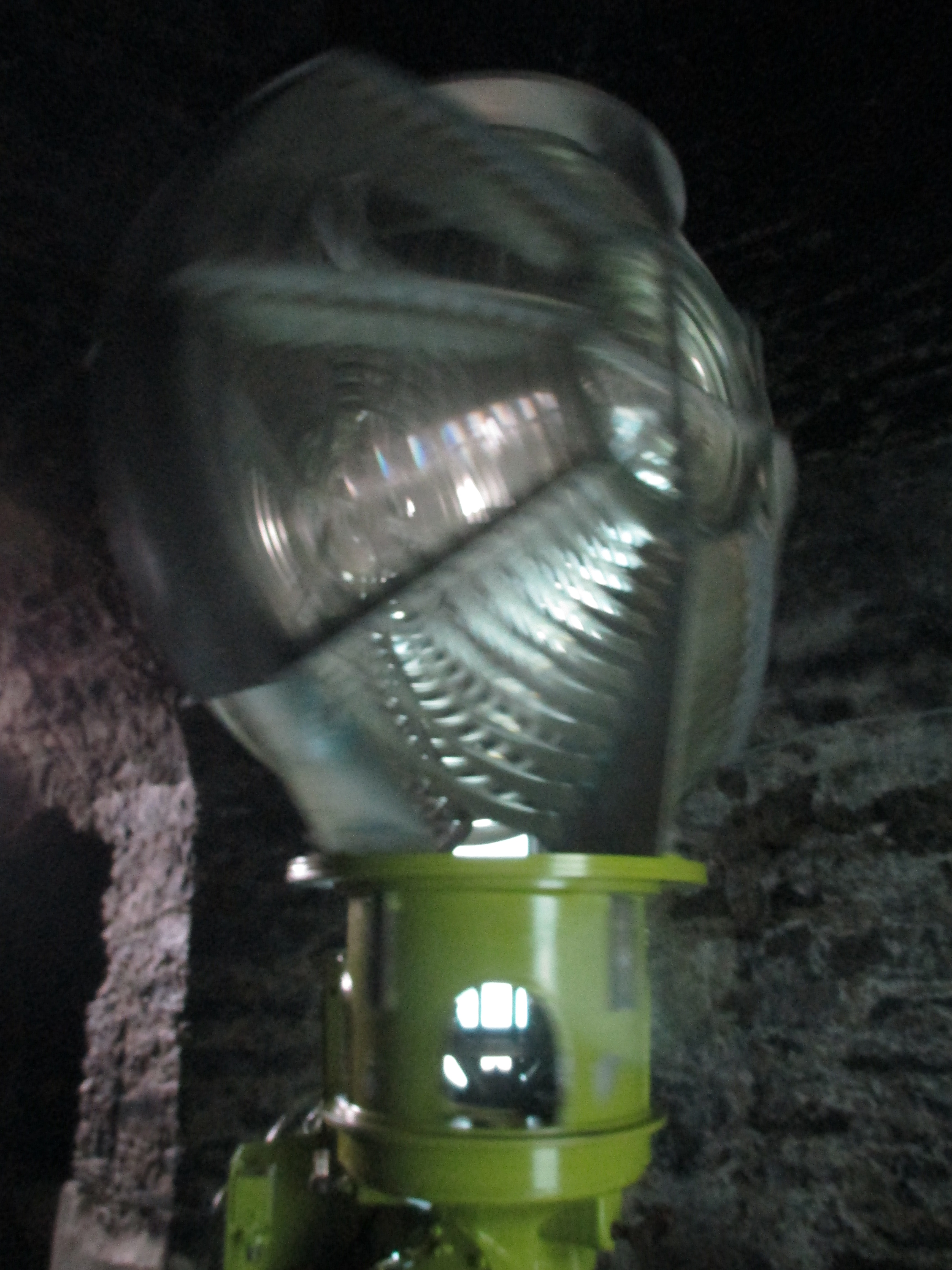
Following repeated complaints, the coal fired light was replaced by an oil burning lamp in 1791. In the 1860s the lighthouse keepers moved out of the tower and into separate dwellings. In 1871 new gas lights were installed, powered by gas which was manufactured in the gas yard. Paraffin oil subsequently became the source of power. In 1911 a clockwork mechanism was installed so the light became a flashing one rather than a fixed beam. It had to be wound every 25 minutes. The light became electric in 1972. In 1996 the lighthouse was automated ending 800 years of lighthouse keepers.
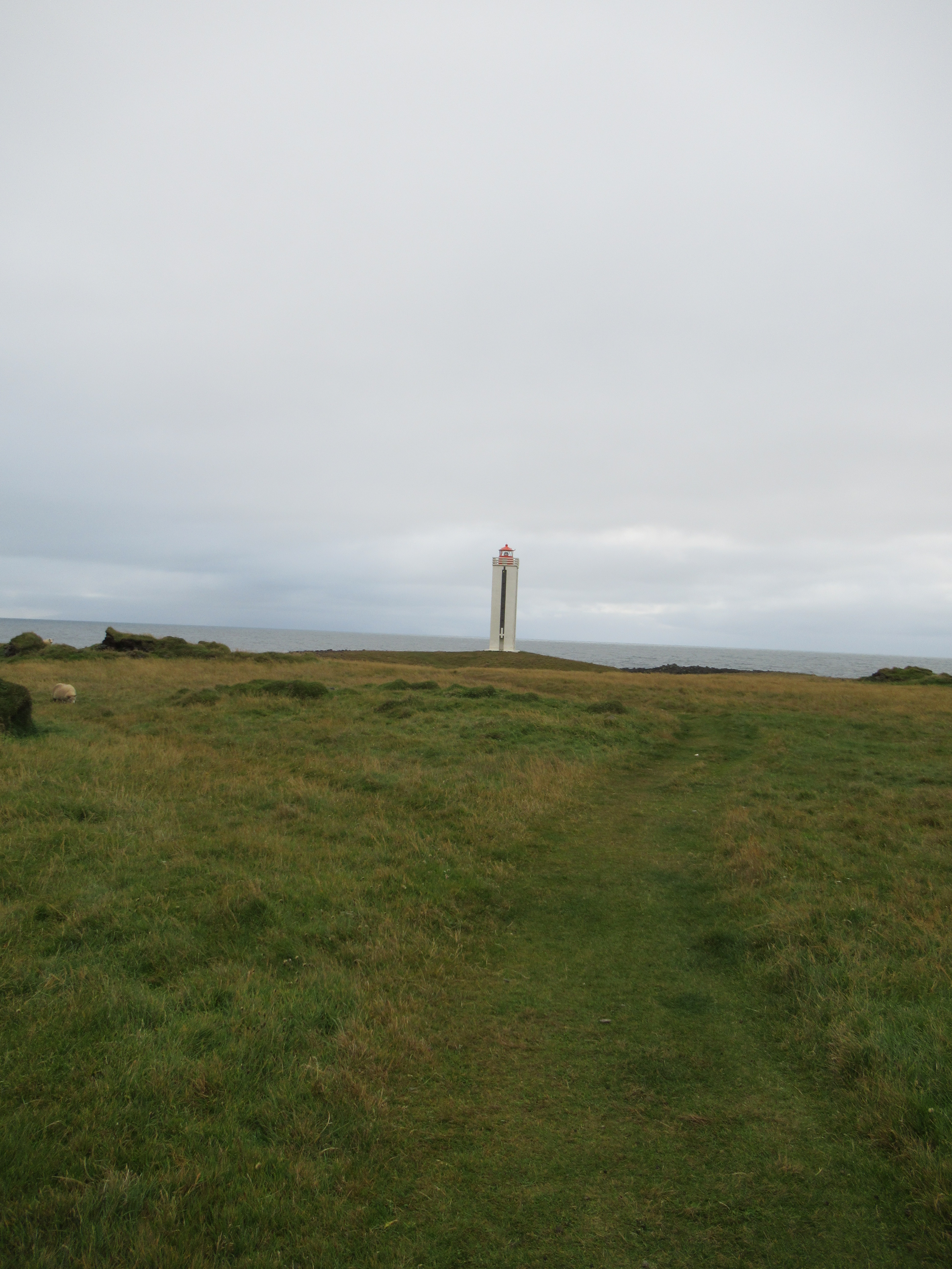
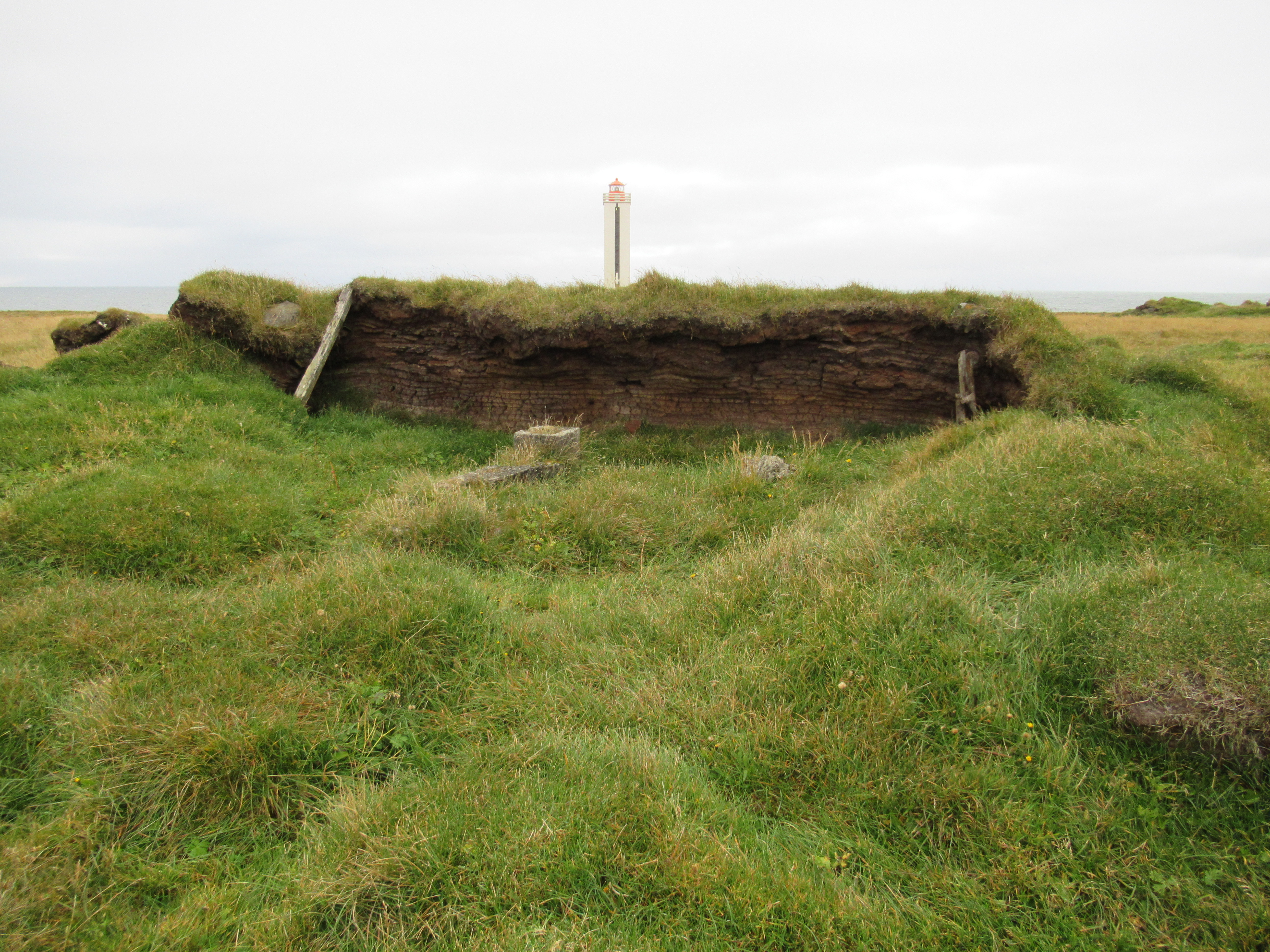
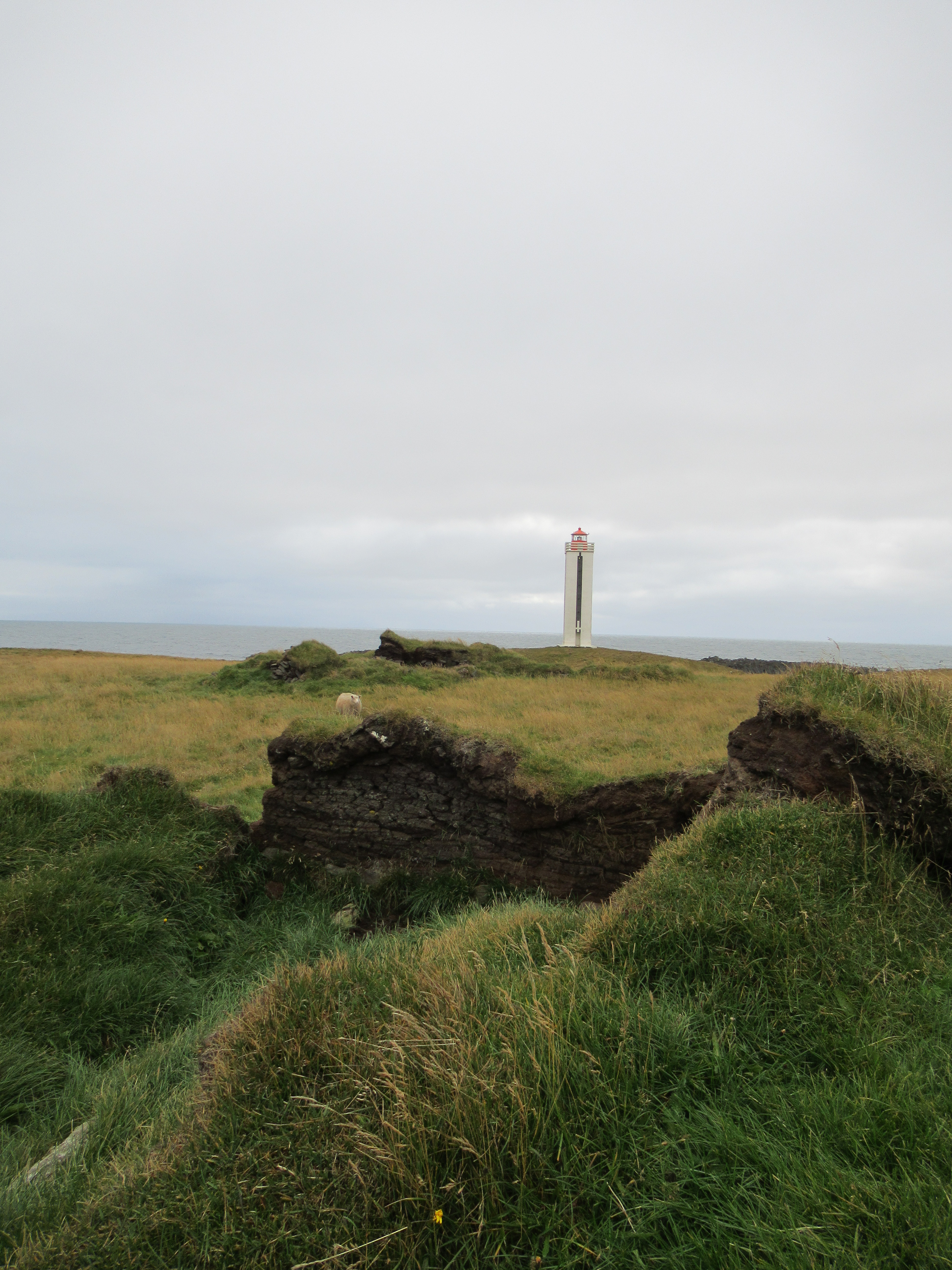
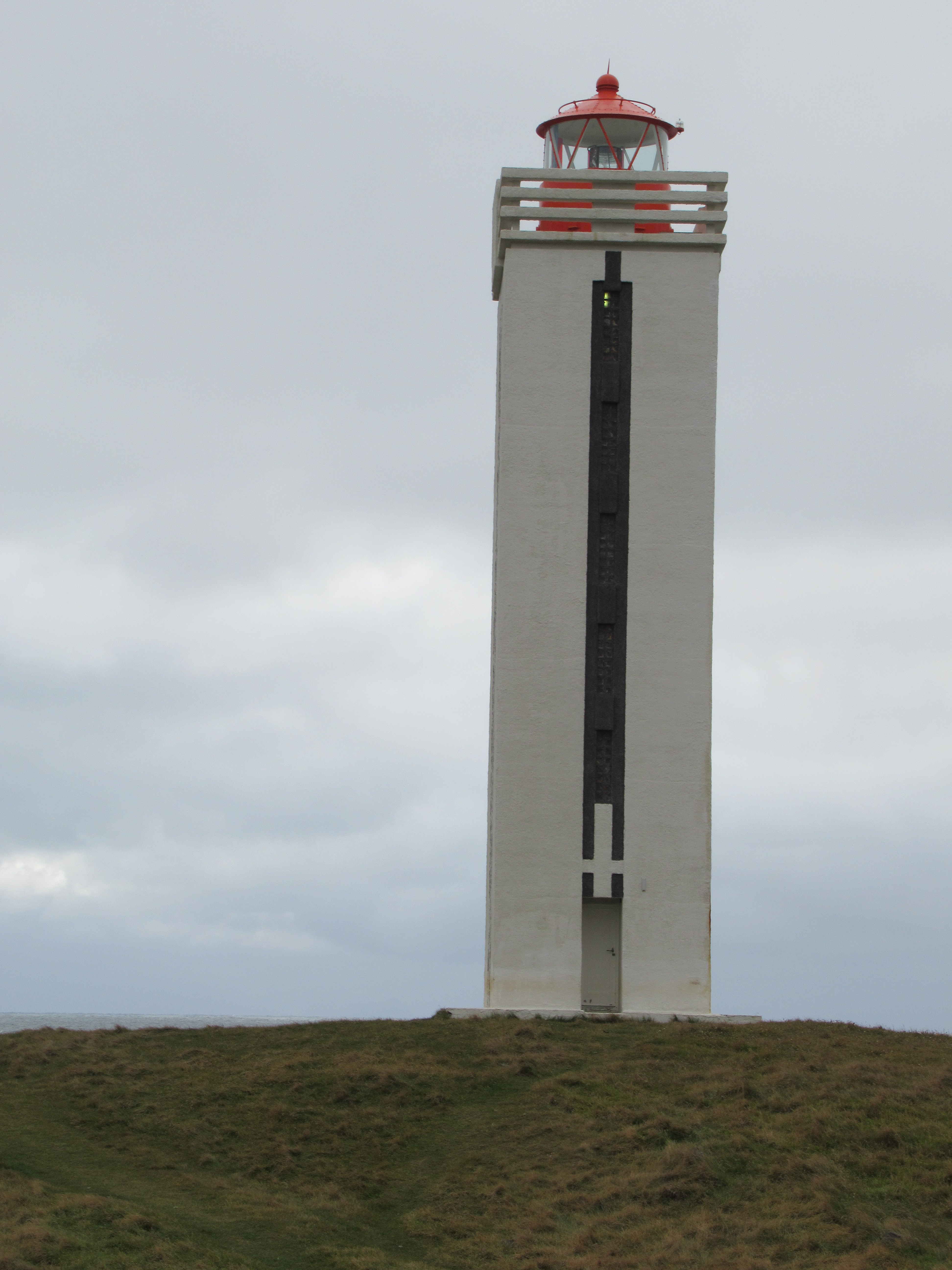
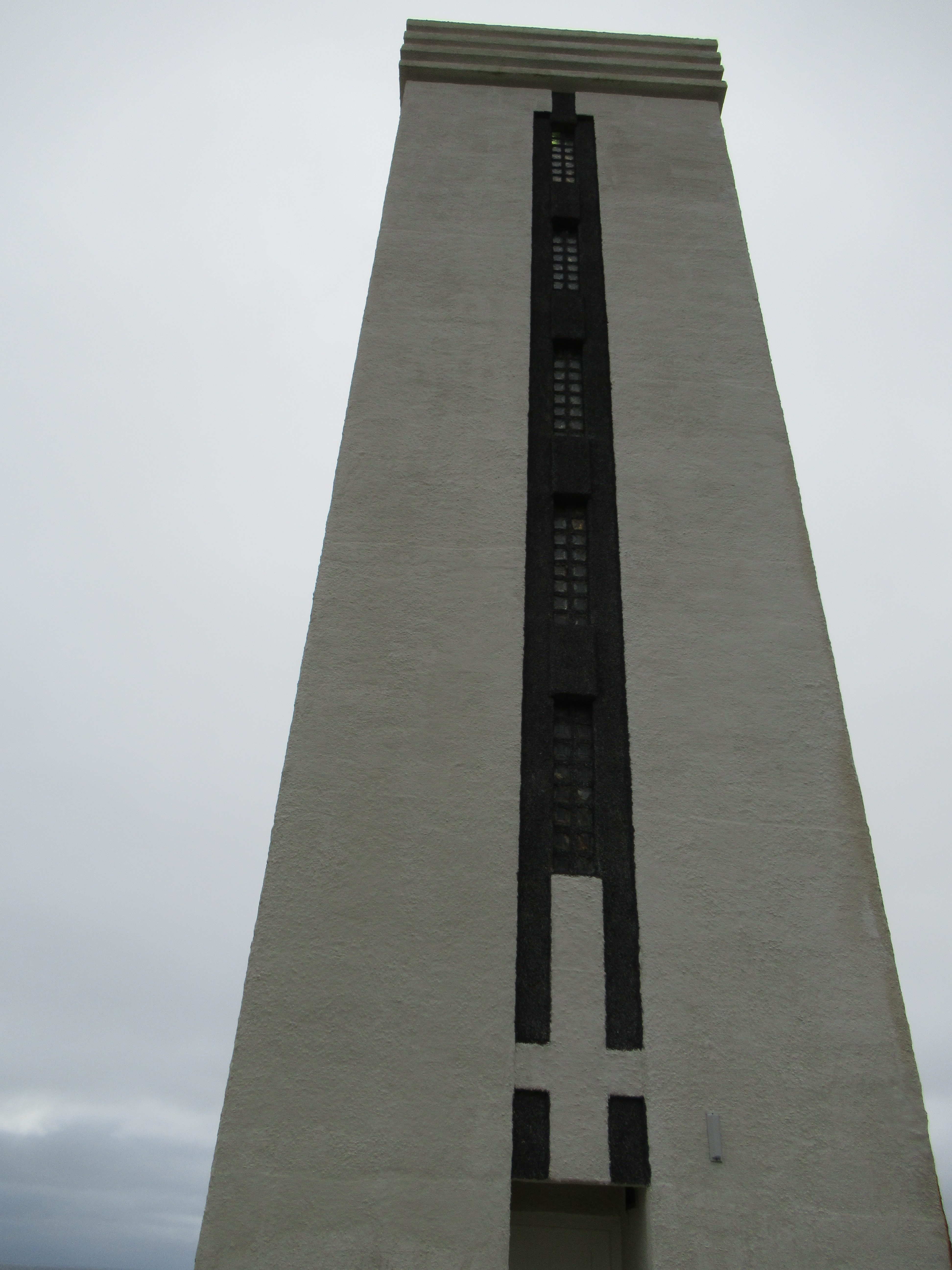
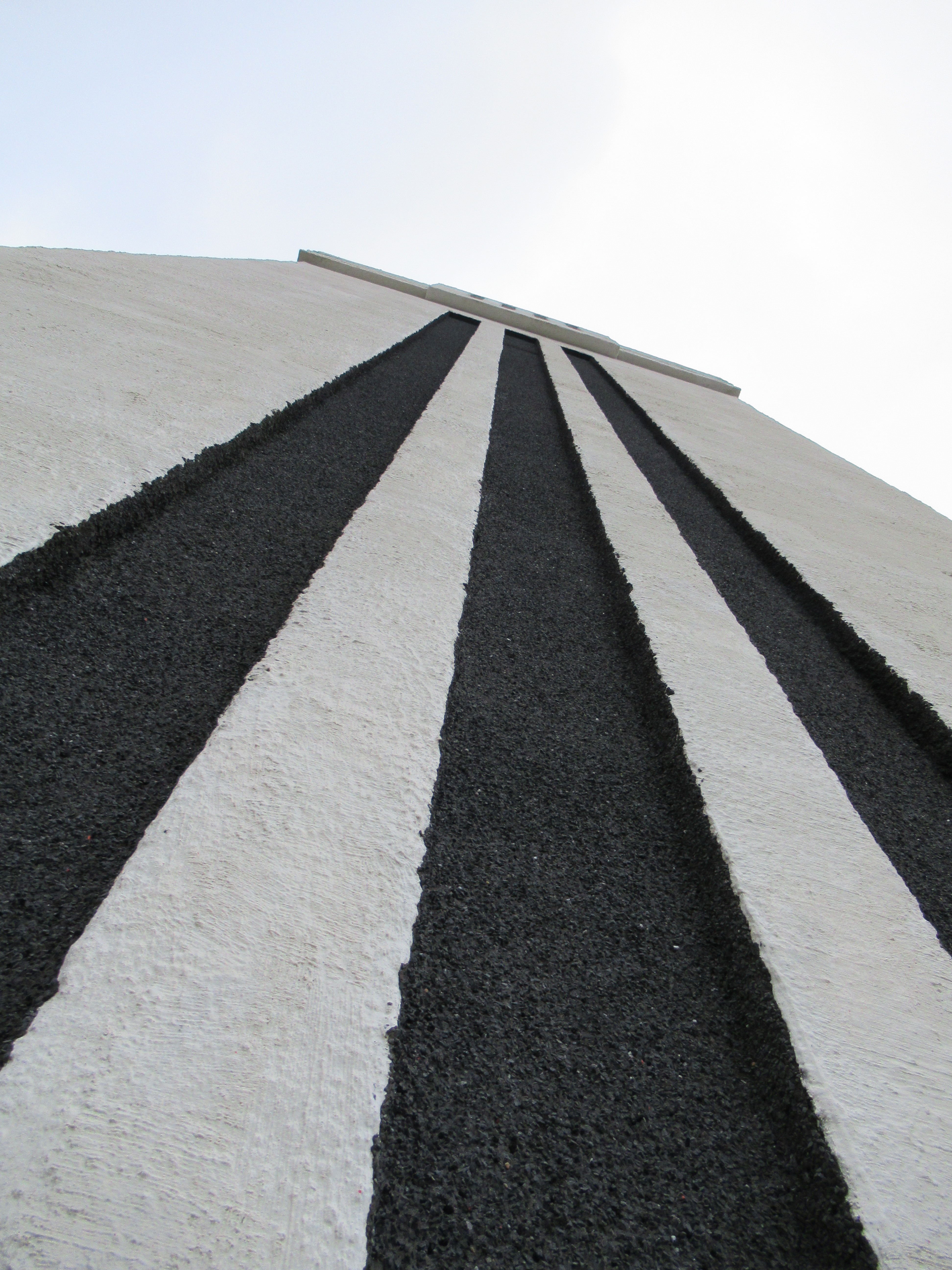
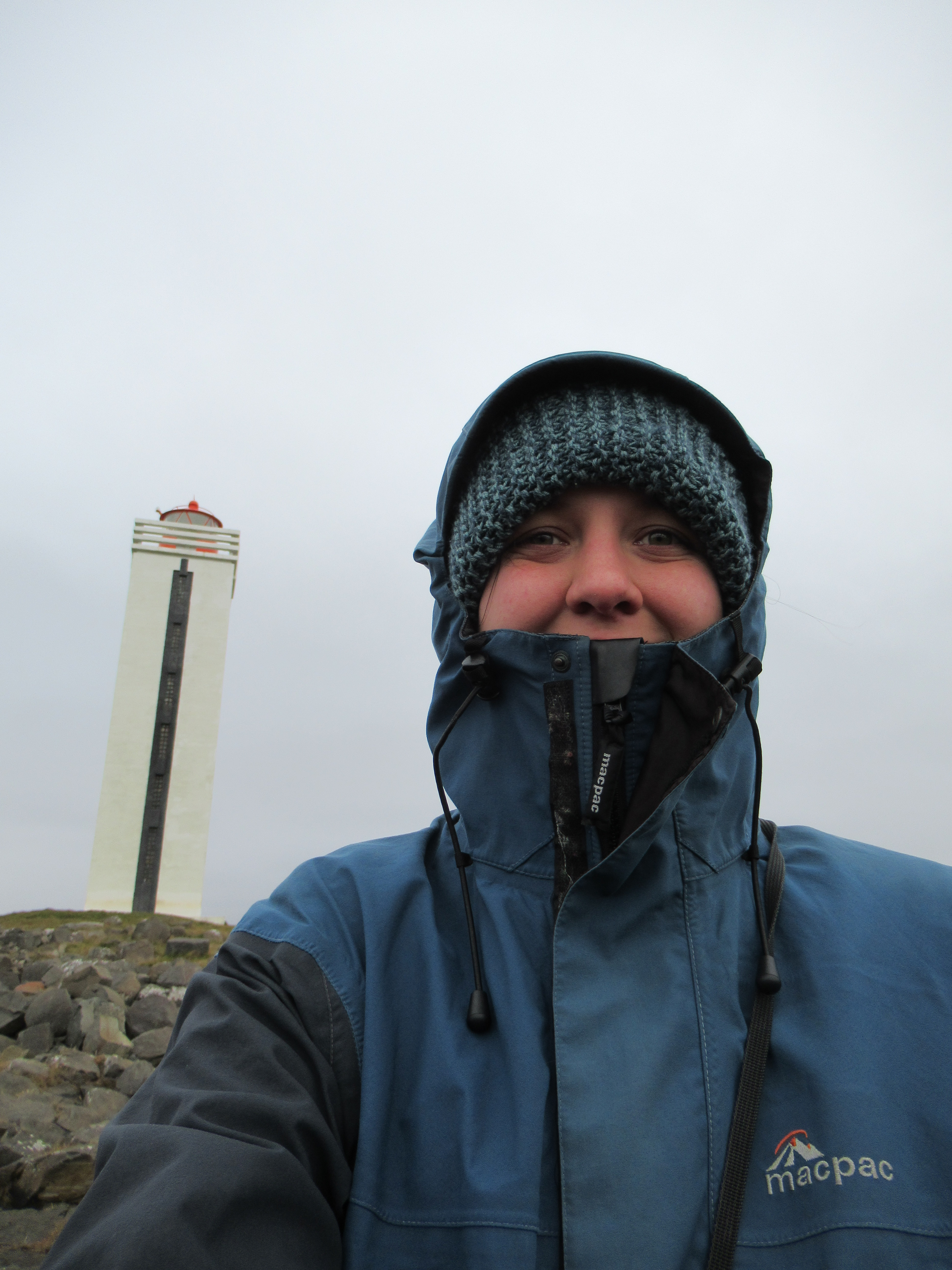
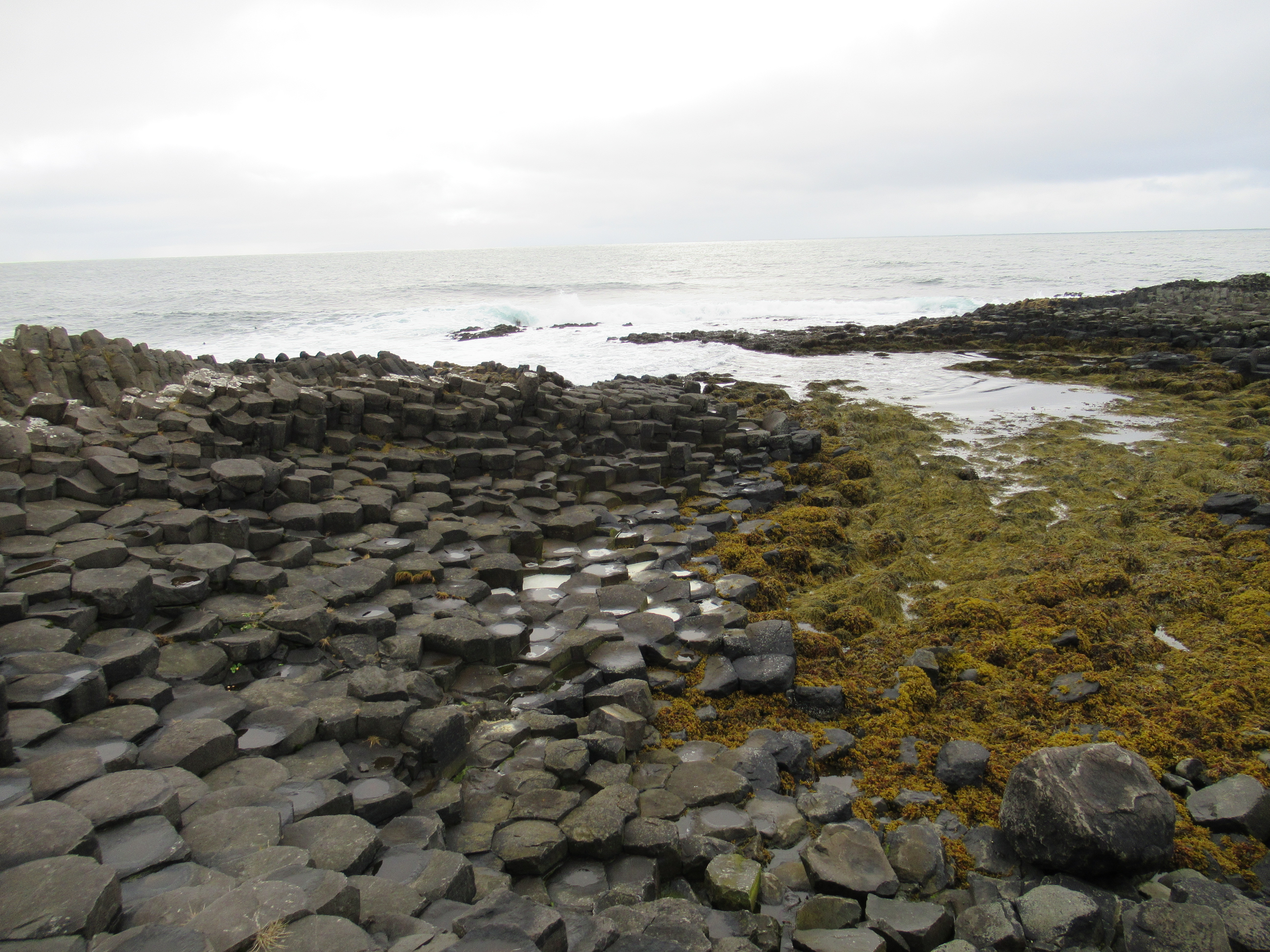
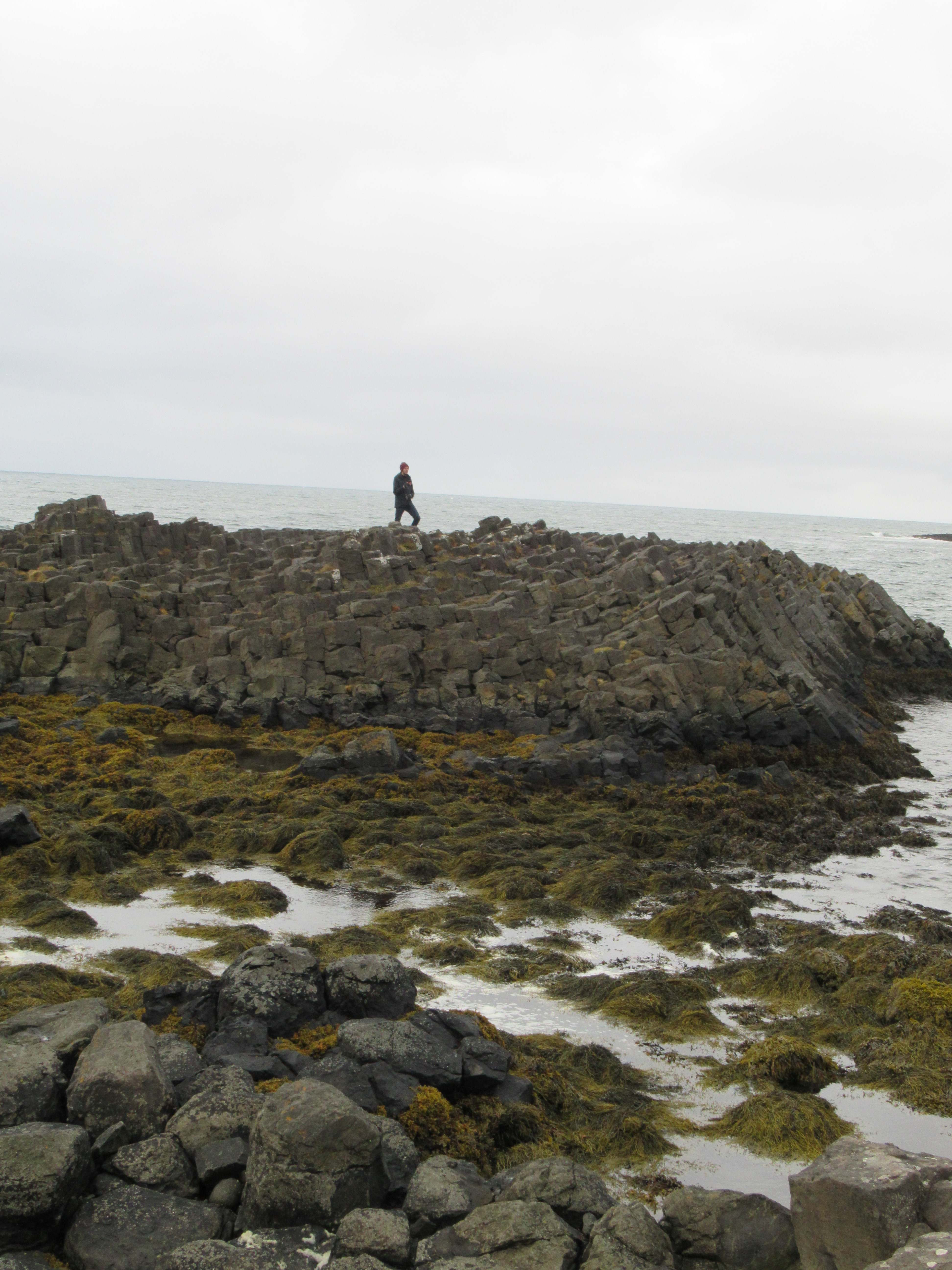
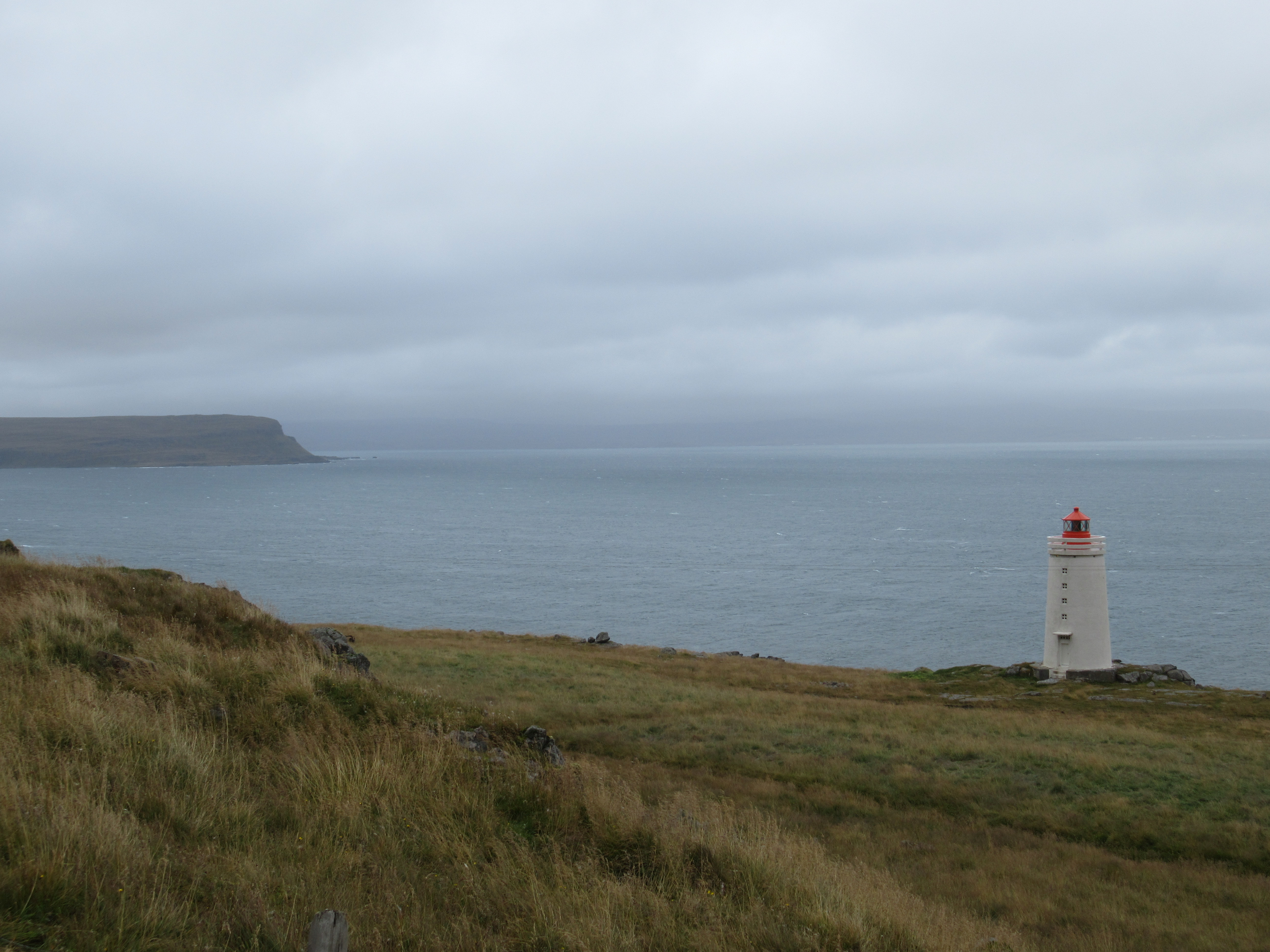
Kálfshamarsvík
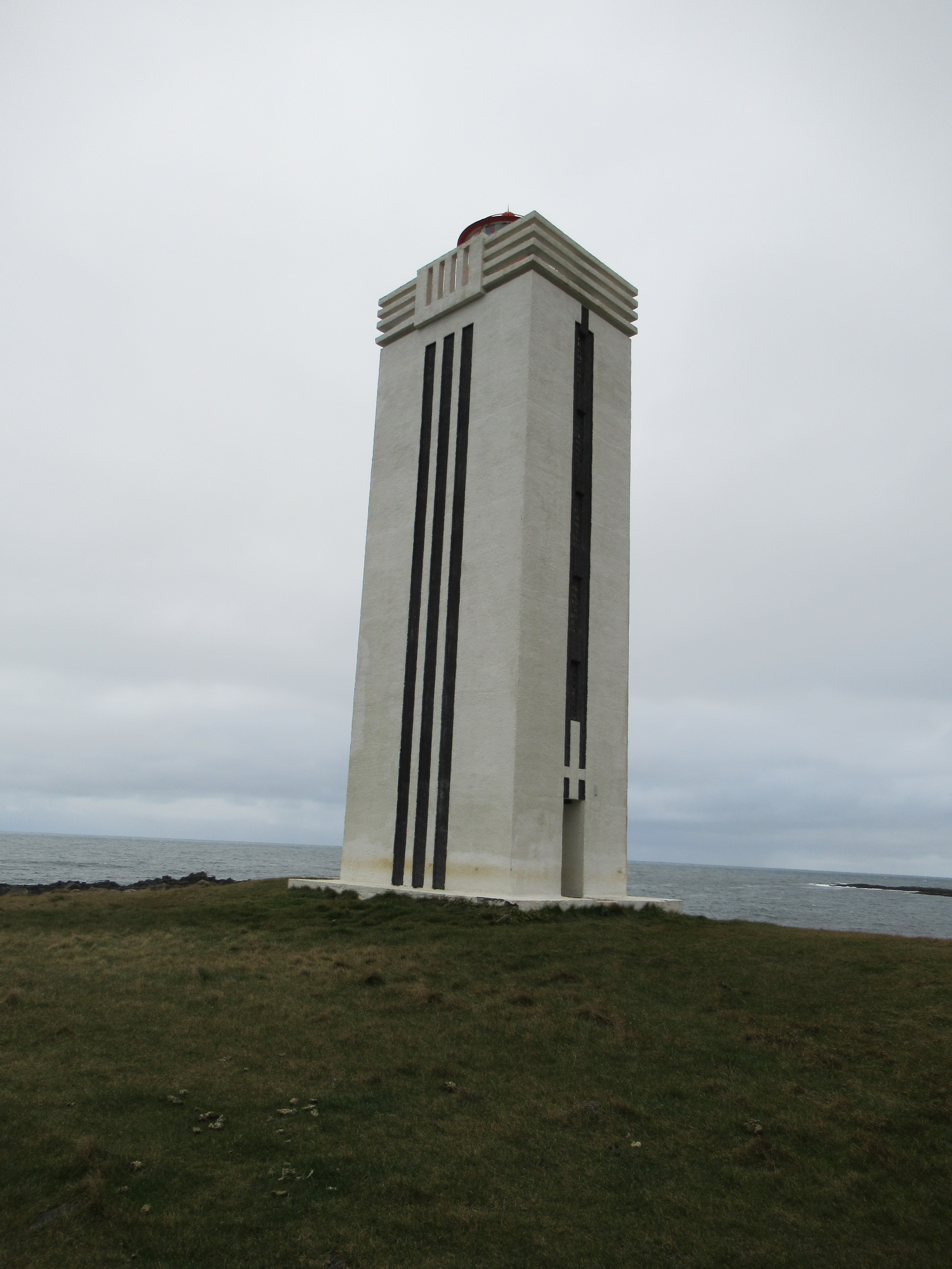
The second of my Icelandic lighthouses, Kálfshamarsvík stands out because of its distinctly Art Deco style. It’s located on a remote – even by Icelandic standards – peninsula on the north west coast of Iceland. It was built in 1940, though an earlier version stood on the site from 1913. It didn’t come into use until 1942 because of WWII delays. It looks remote now, but Kálfshamarsvík was actually a town. There was a busy fishing village here in the 1900s, which slowly fell victim to time and the Great Depression. The last residents left in 1960s. You can see the remains of their houses around the lighthouse and there’s still sheep roaming. The landscape around Kálfshamarsvík is extraordinary basalt columns. Kálfshamarsvík was designed by Axel Sveinsson, the vertical black stripes might have been inspired by the basalt landscape. Kálfshamarsvík stands at 21 metres high and was electrified in 1973.
Longships
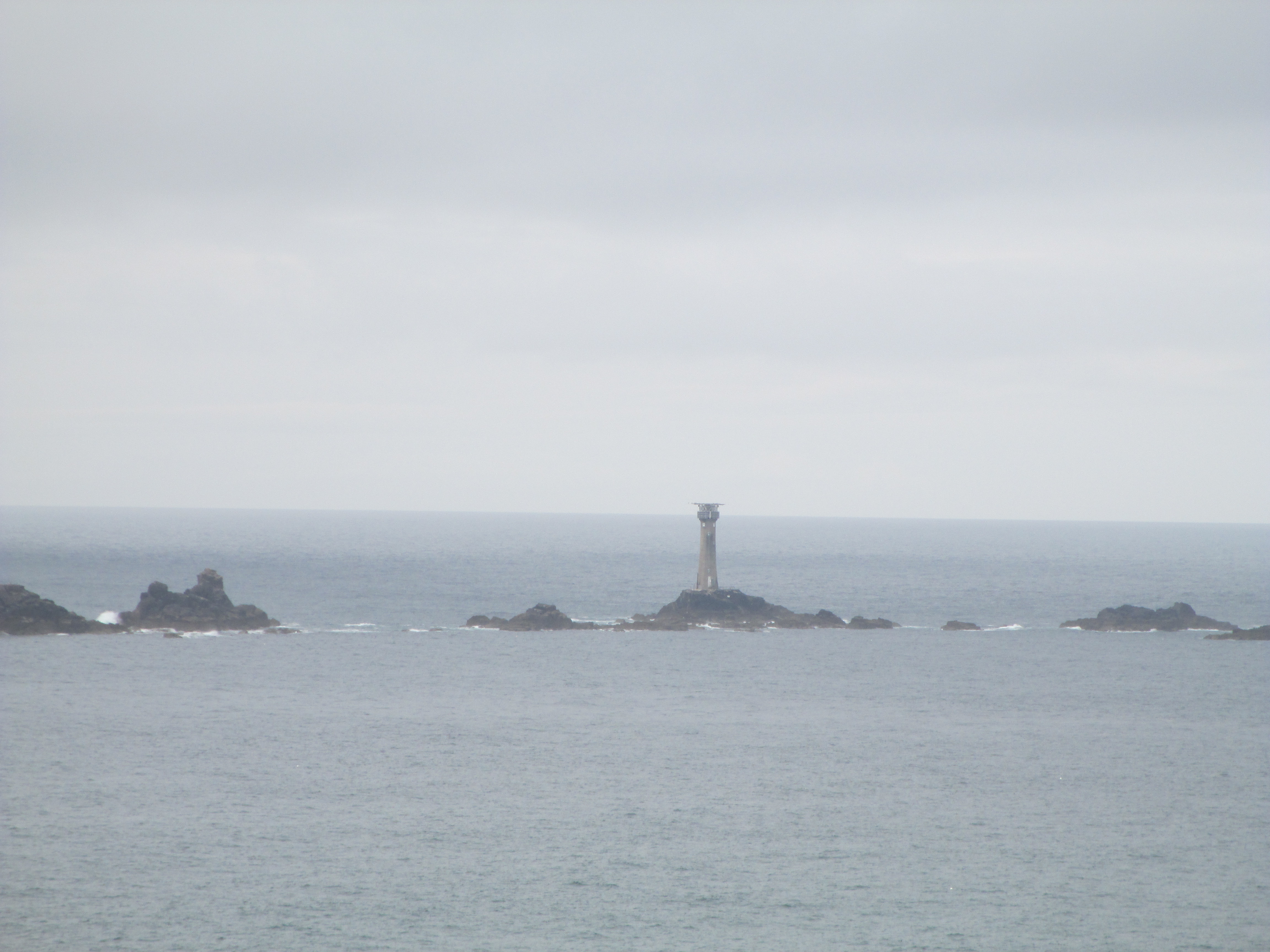
My only United Kingdom lighthouse on this blog. Longships stands on Longships rocks off the coast of Lands End in Cornwall, in the far south of England. The tower you see today is the second version. The rocks had been a danger to shipping for centuries and in the late 1700s work began on putting a lighthouse on the highest of the Longships rocks. The first tower was lit in 1795, with keepers working in one month stretches. Issues were rapidly found, because the waves got high enough that they obscured the light of the 1795 tower. In 1875 it was replaced by the granite tower you can see today. It stands at 35 metres and was automated in 1988.
North Head
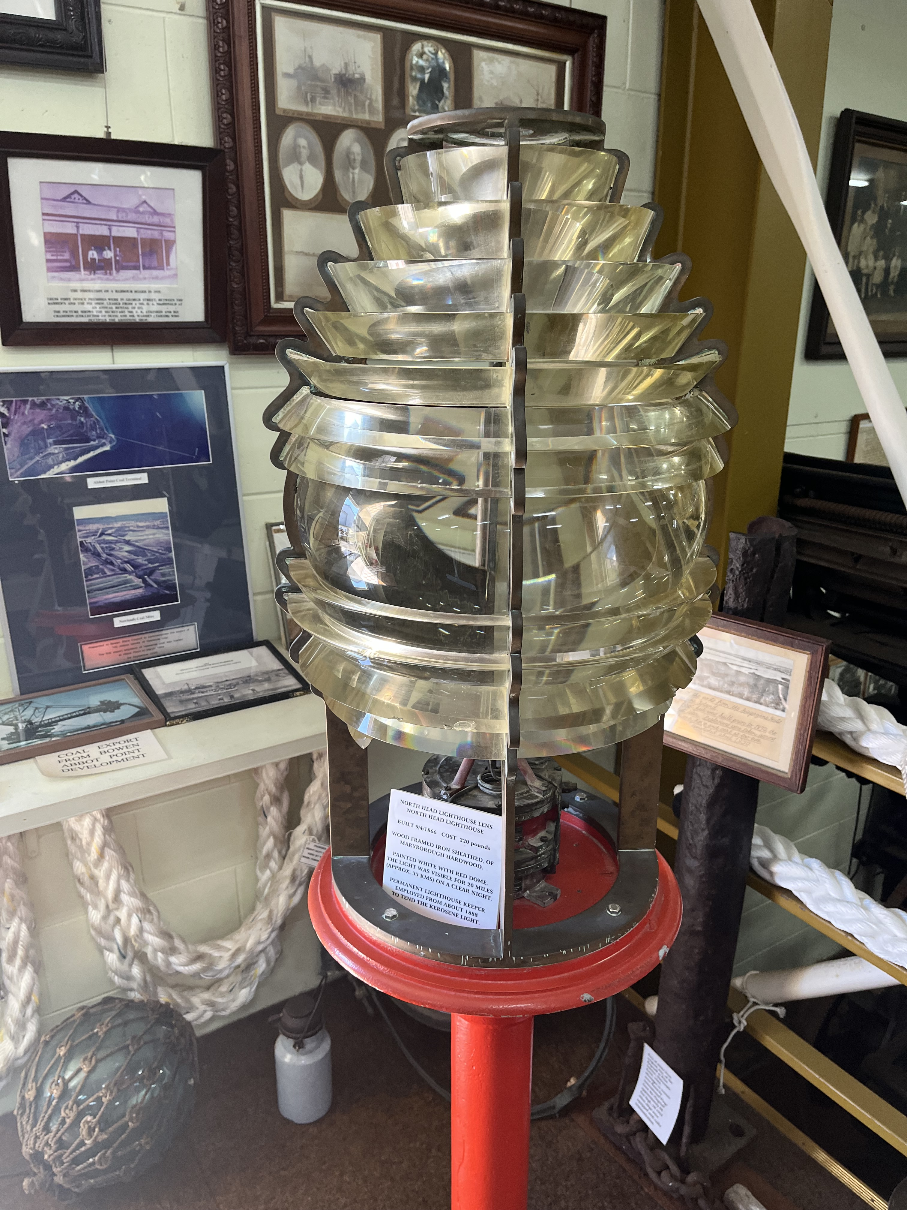
In a change of pace, and weather, we’re back in Australia. This time in northern Queensland and the Whitsundays, for North Head lighthouse. It’s a bit tricky to see in the above photo, but it’s on the lump of rock on the first island. North Head was built in 1866. It’s built of Maryborough hardwood and iron sheathed. It’s not 100% known if there were keepers on the island or not. There was a domestic structure at own point, but it was removed to the nearby town of Bowen at a date no-one seems able to agree on. The light is no longer lit, the windows and the lamp were both stripped out completely in the 1980s. The lamp, which you can see below, is housed in Bowen historical society.
Point Lonsdale
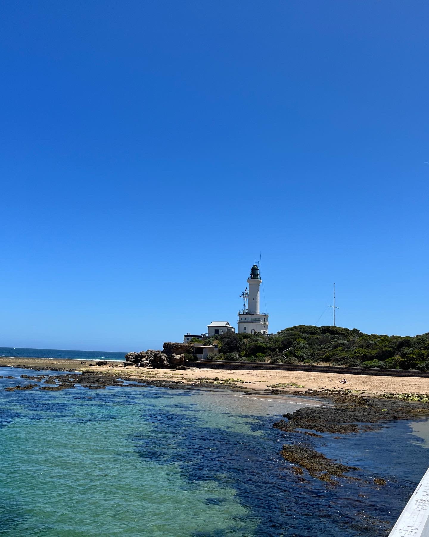
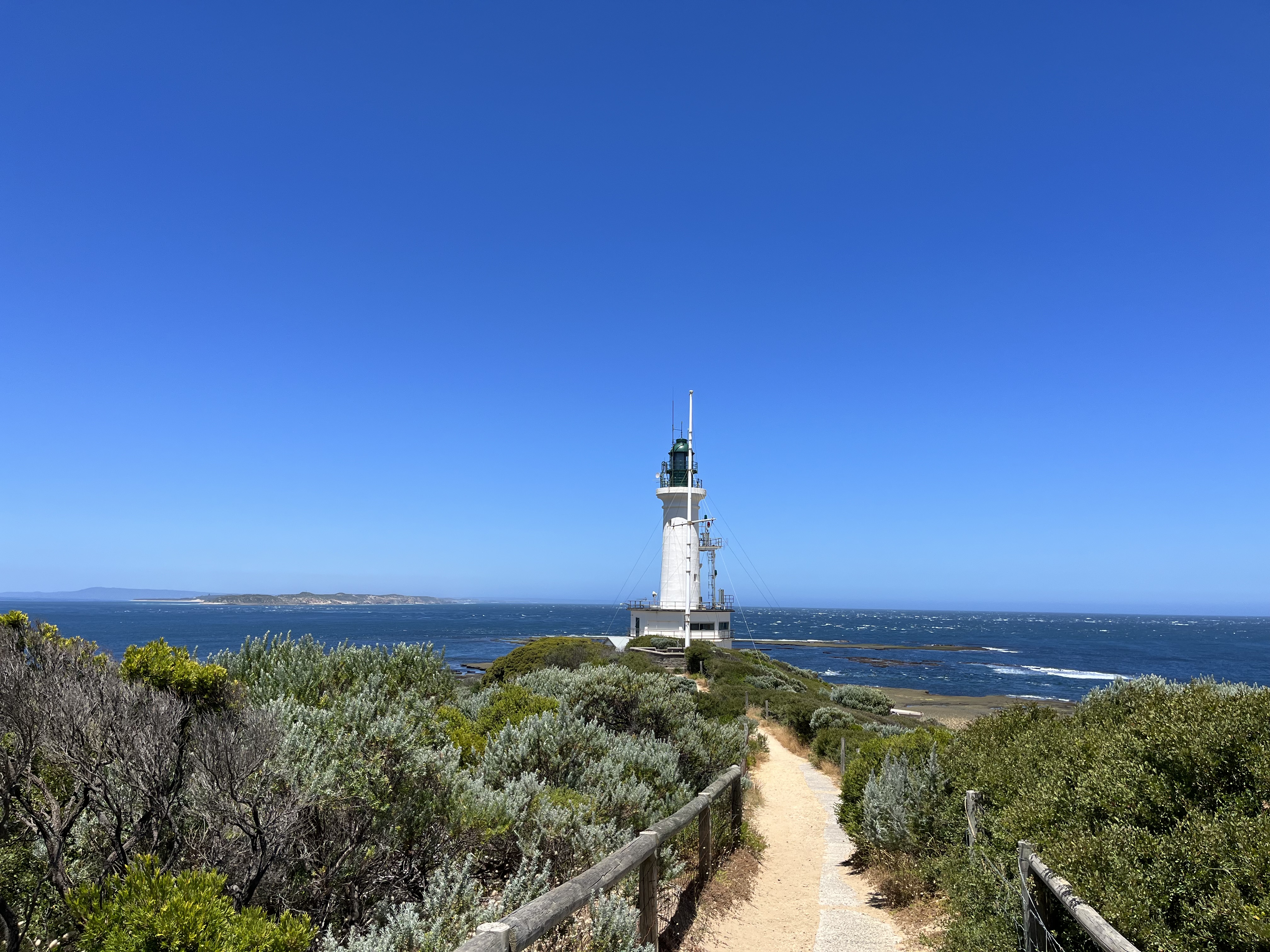
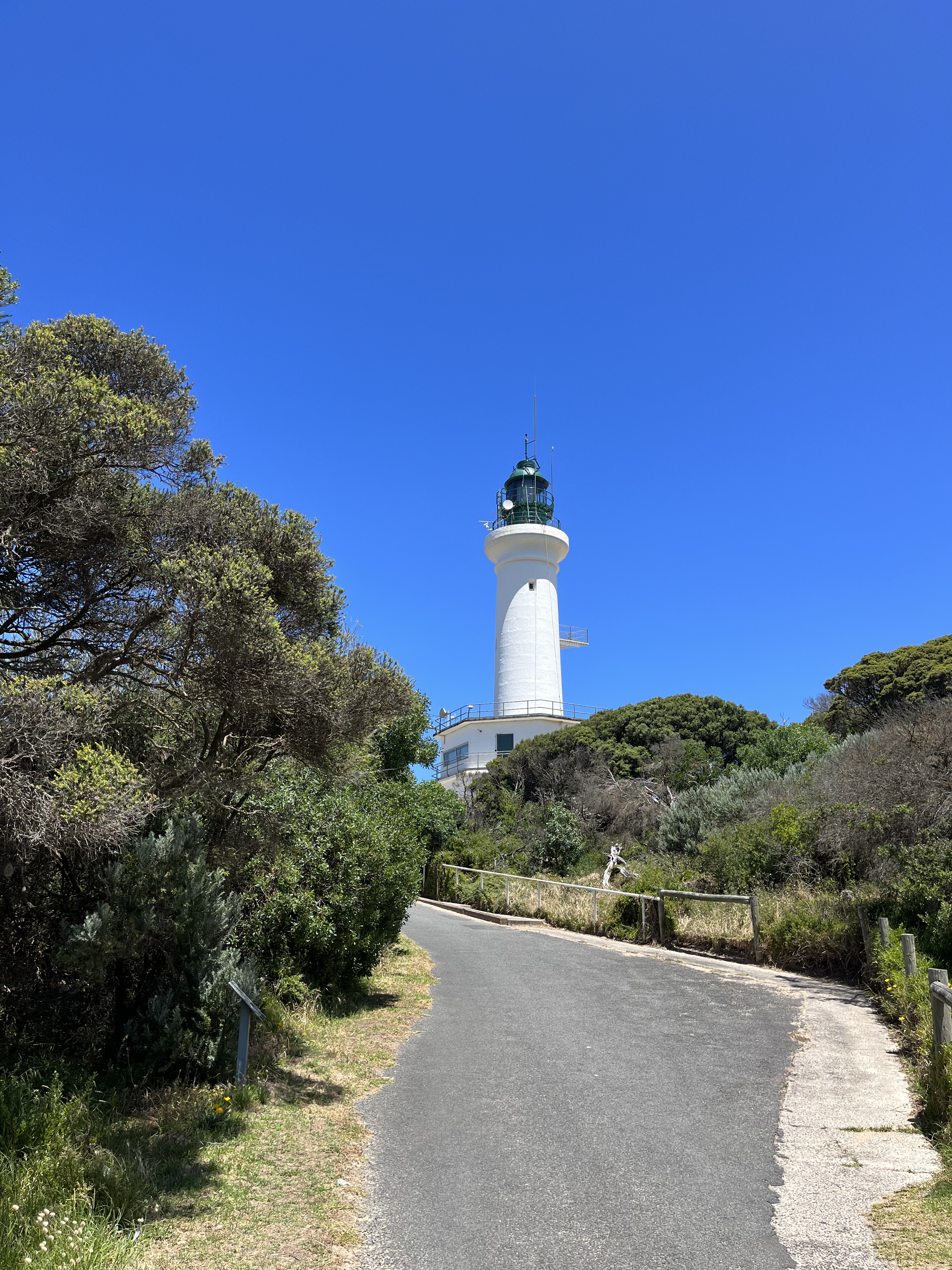
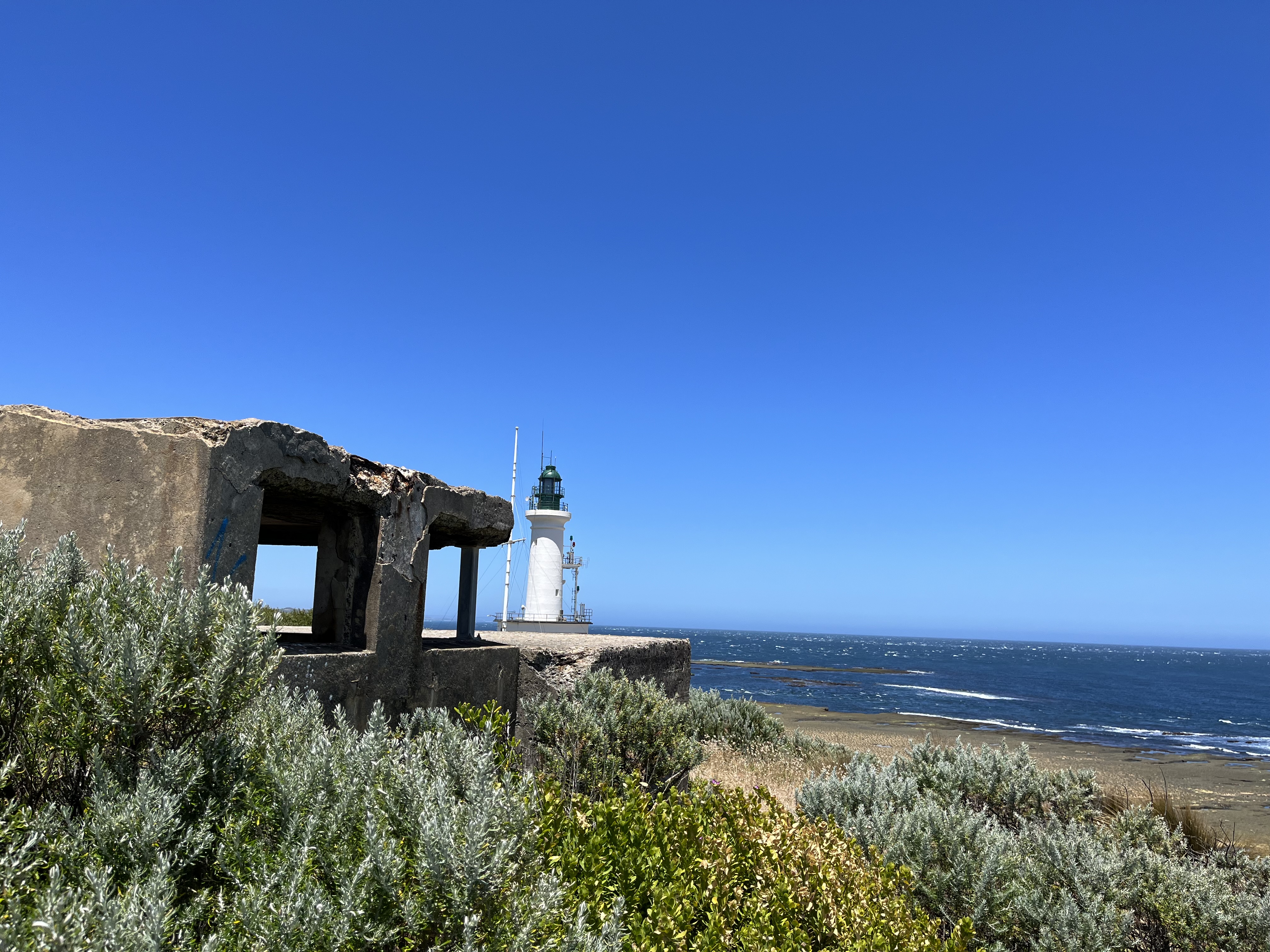
Back to Victoria for our next lighthouse. Point Lonsdale stands on one of the ‘Heads’ of Port Phillip Bay. Guarding the narrow and very dangerous entrance known as The Rip. The current light commenced operation in 1902, replacing an earlier timber structure dating to the 1860s, that was little west of the current light. Point Lonsdale is built of concrete and has 2 metre thick walls, it is 37 metres above sea level and points into Port Phillip Bay. The octagonal base was built in the 1950s to create a spot where morse code and radio could be sent to passing ships. Previously it had been done by flags. At this point additional red and green lights were added below the main light as indicators of the tides in the Bay. It was electrified in 1934. In the photos below you can also see some of the remains of the WWII fixed position defences of Point Lonsdale.
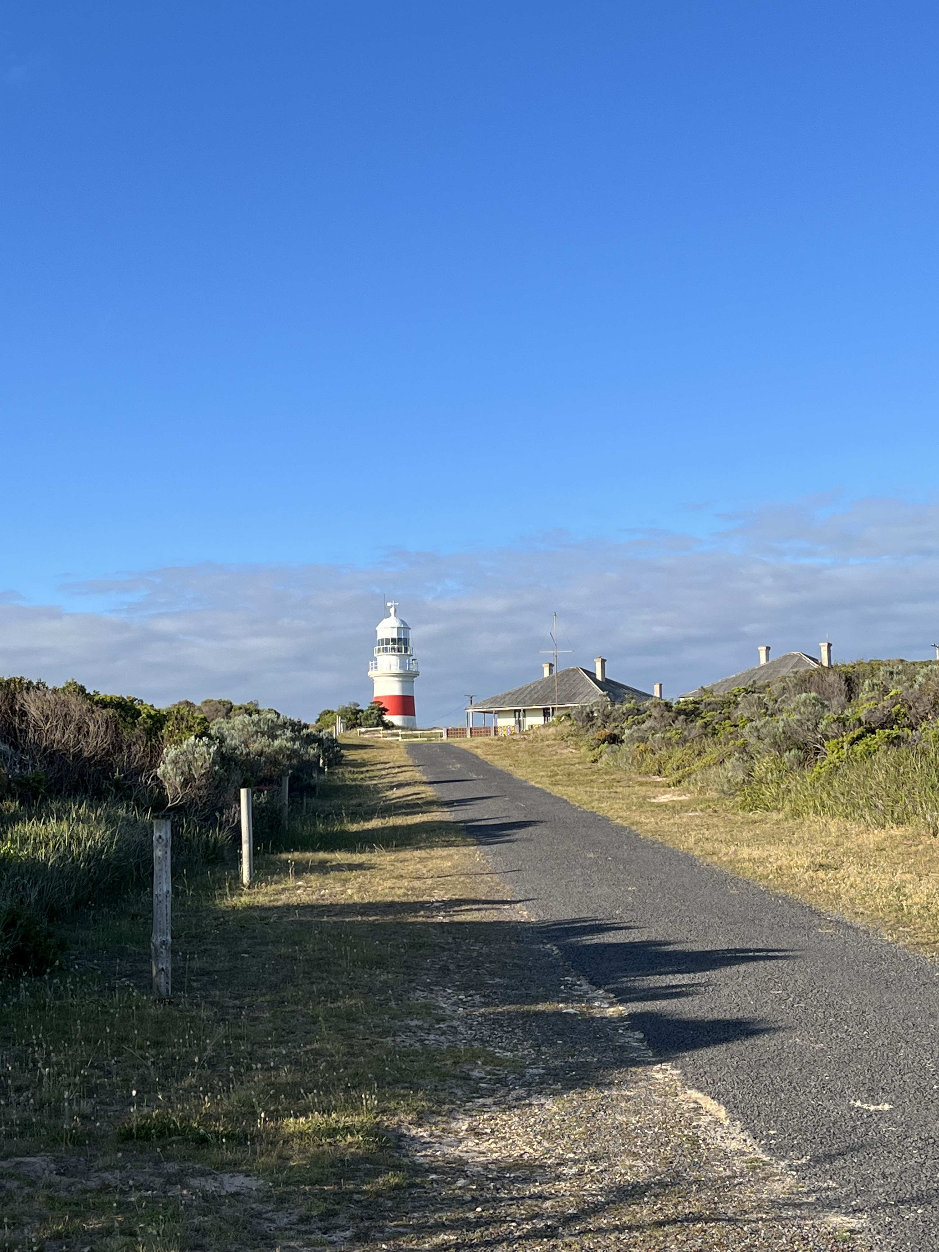
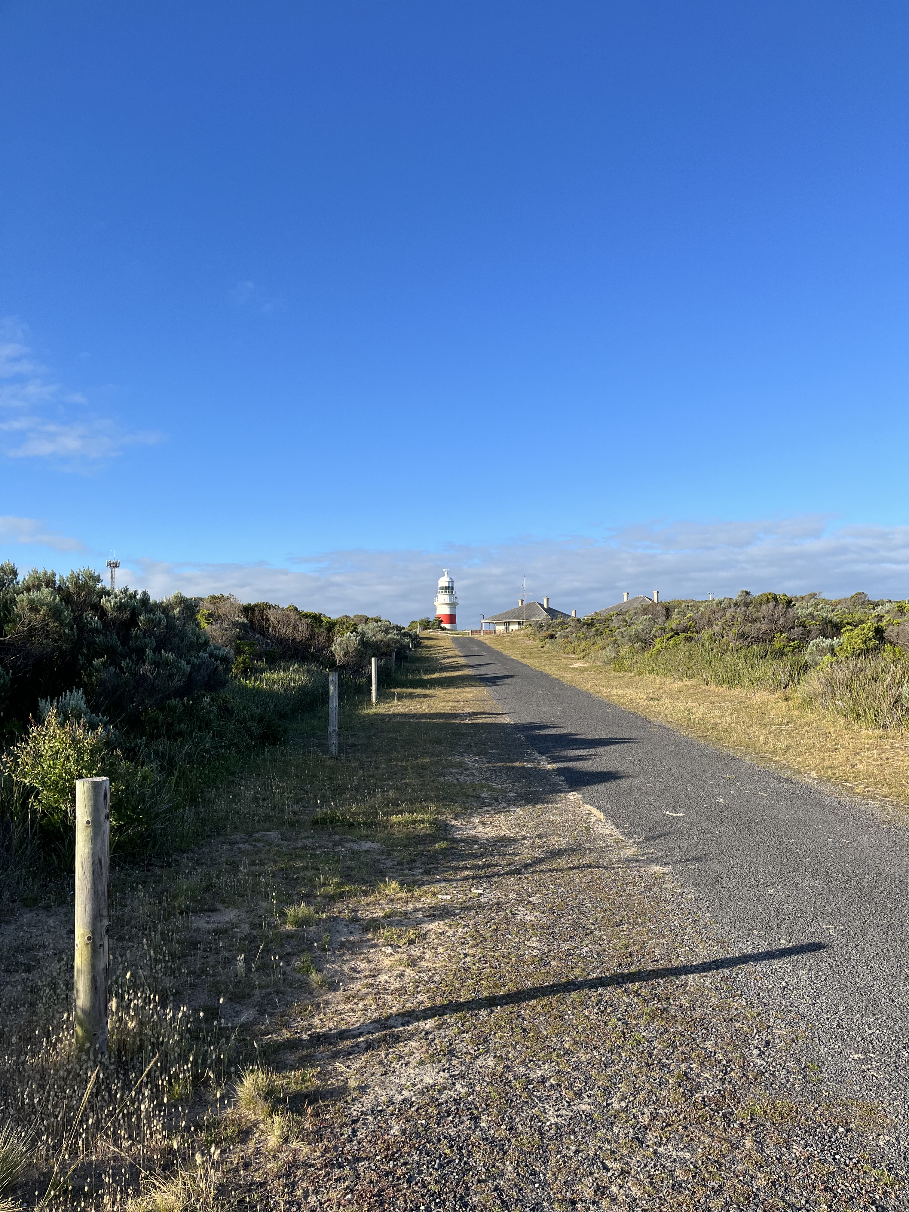
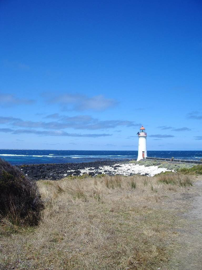
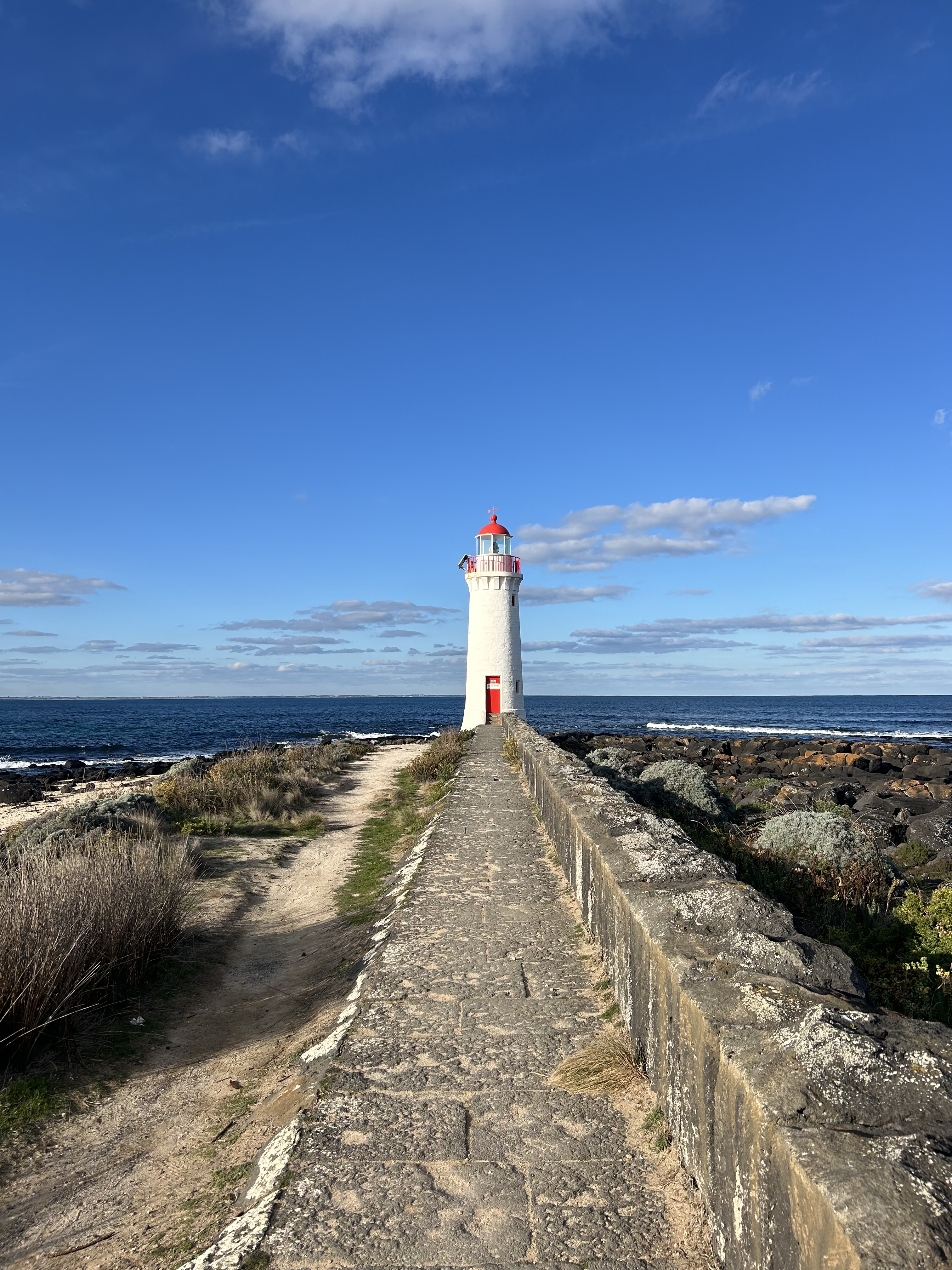
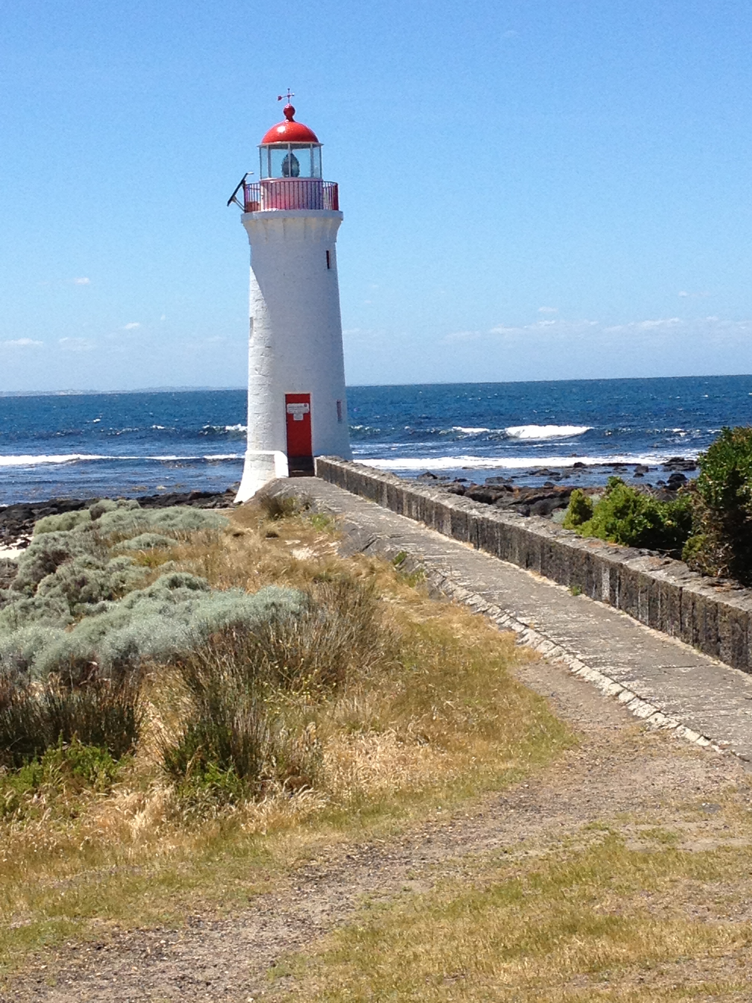
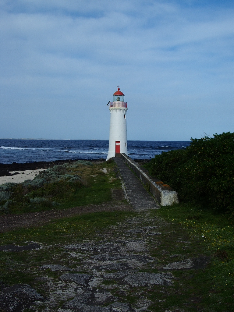
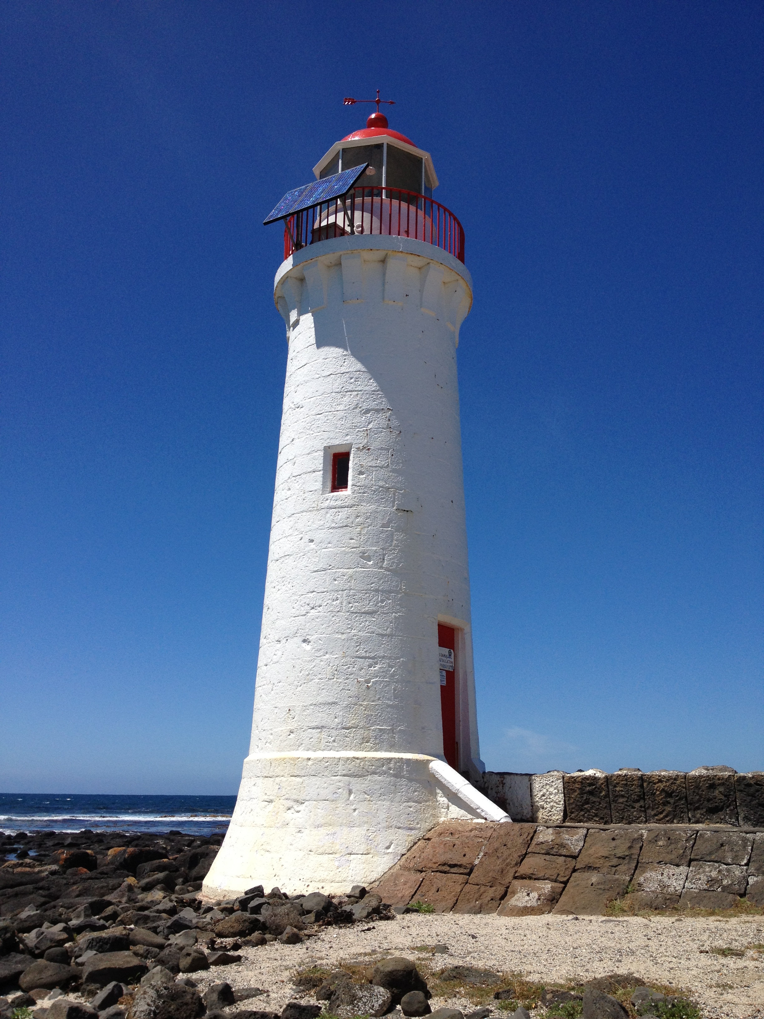
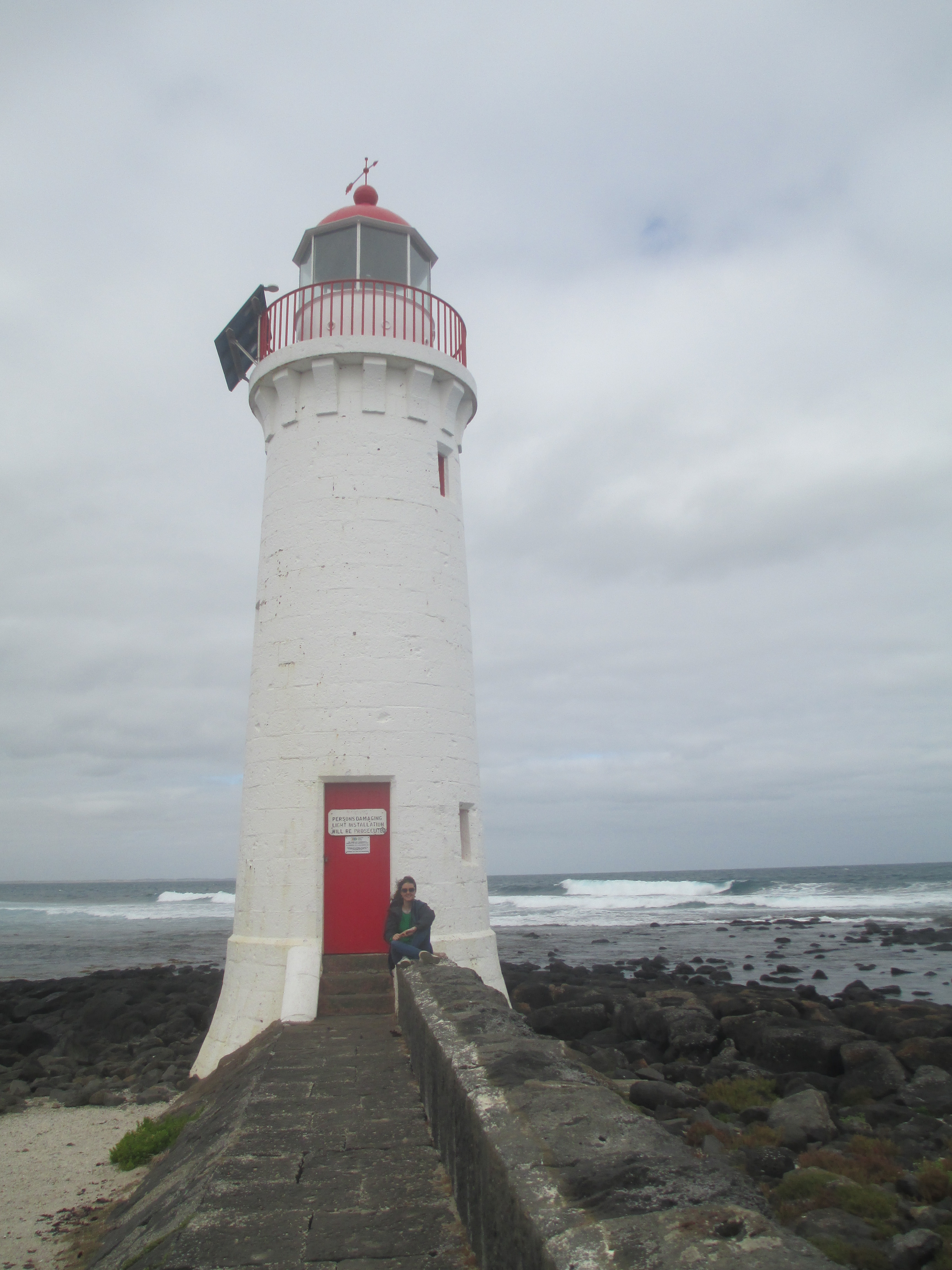
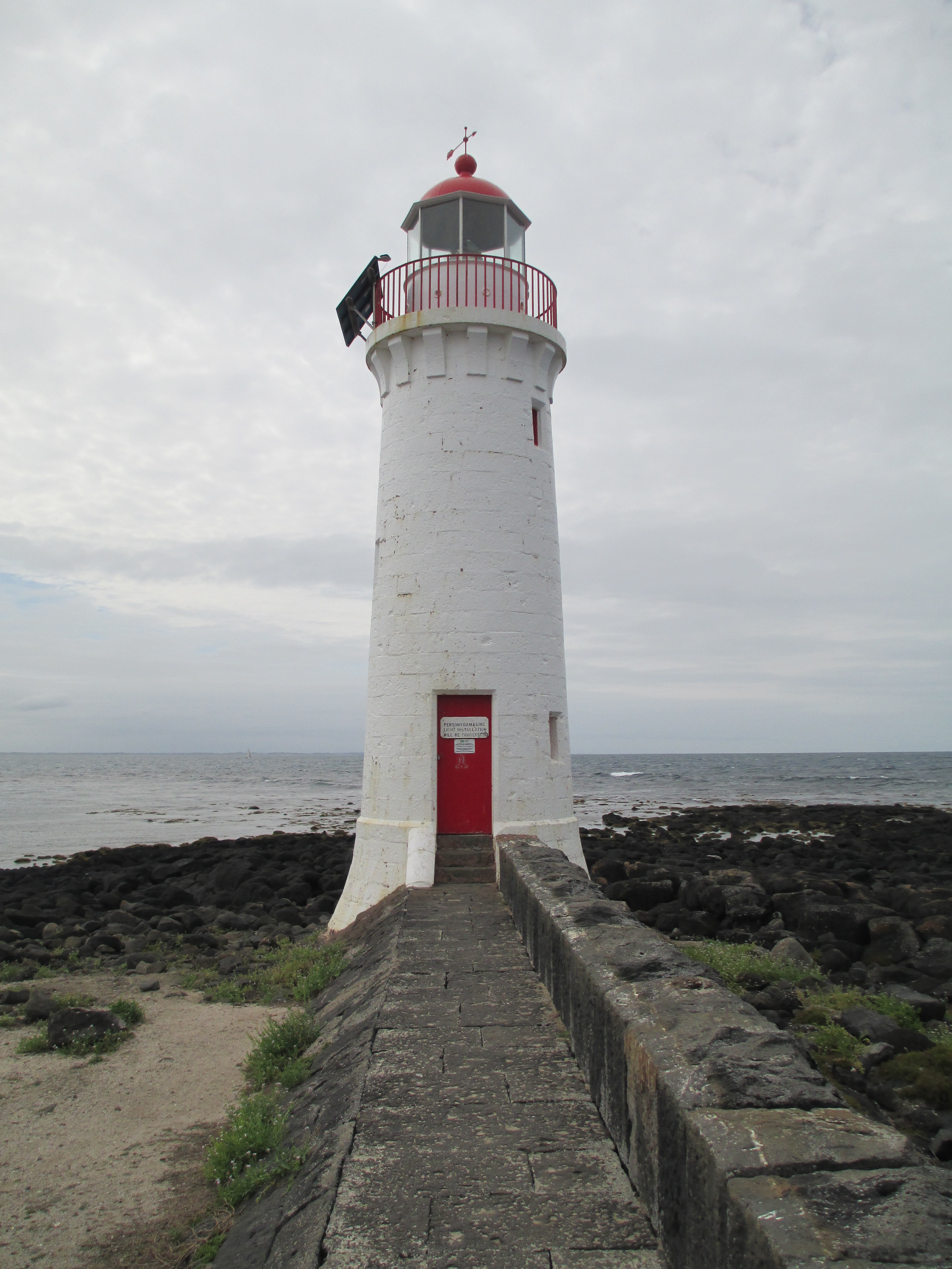
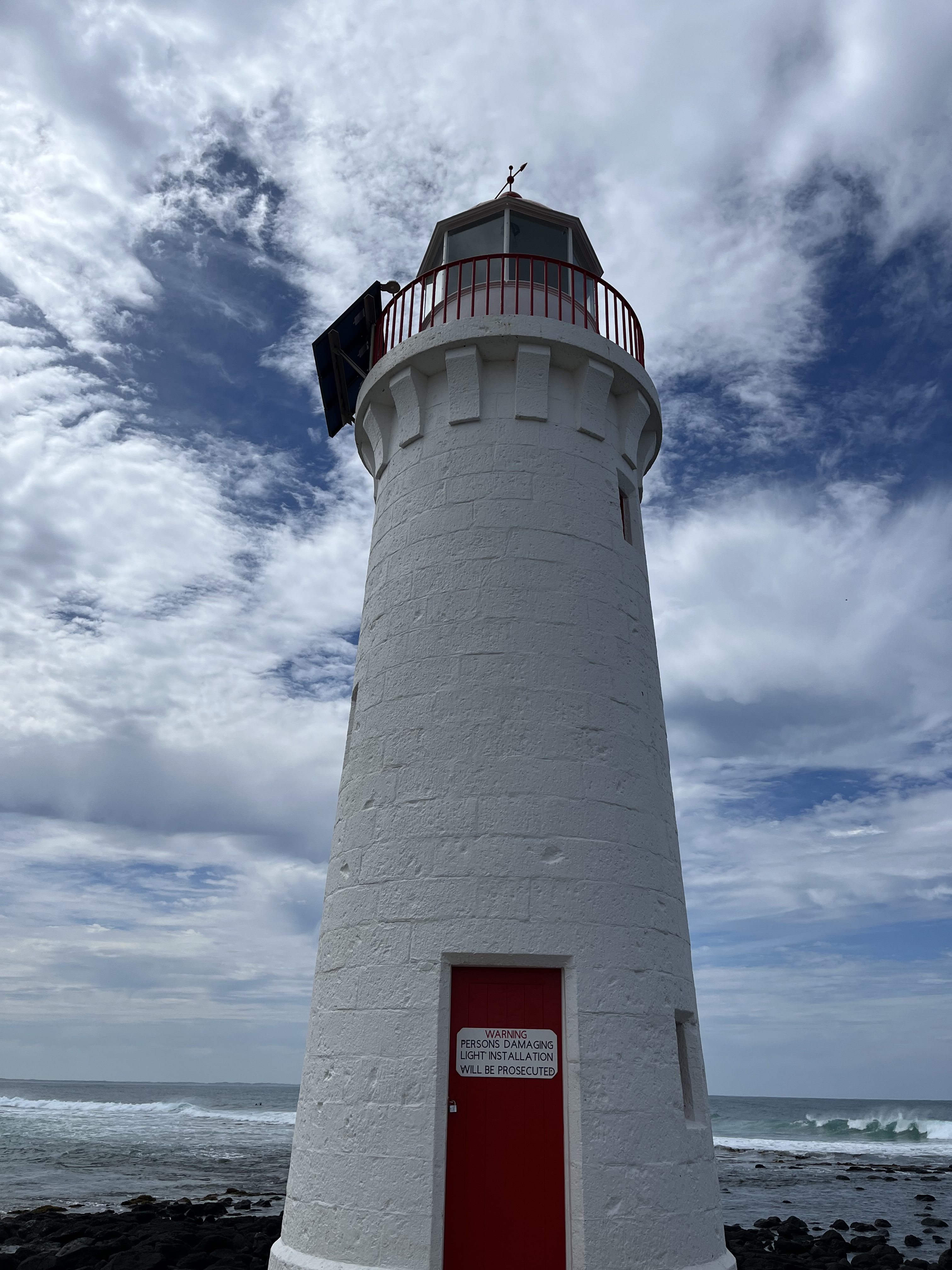
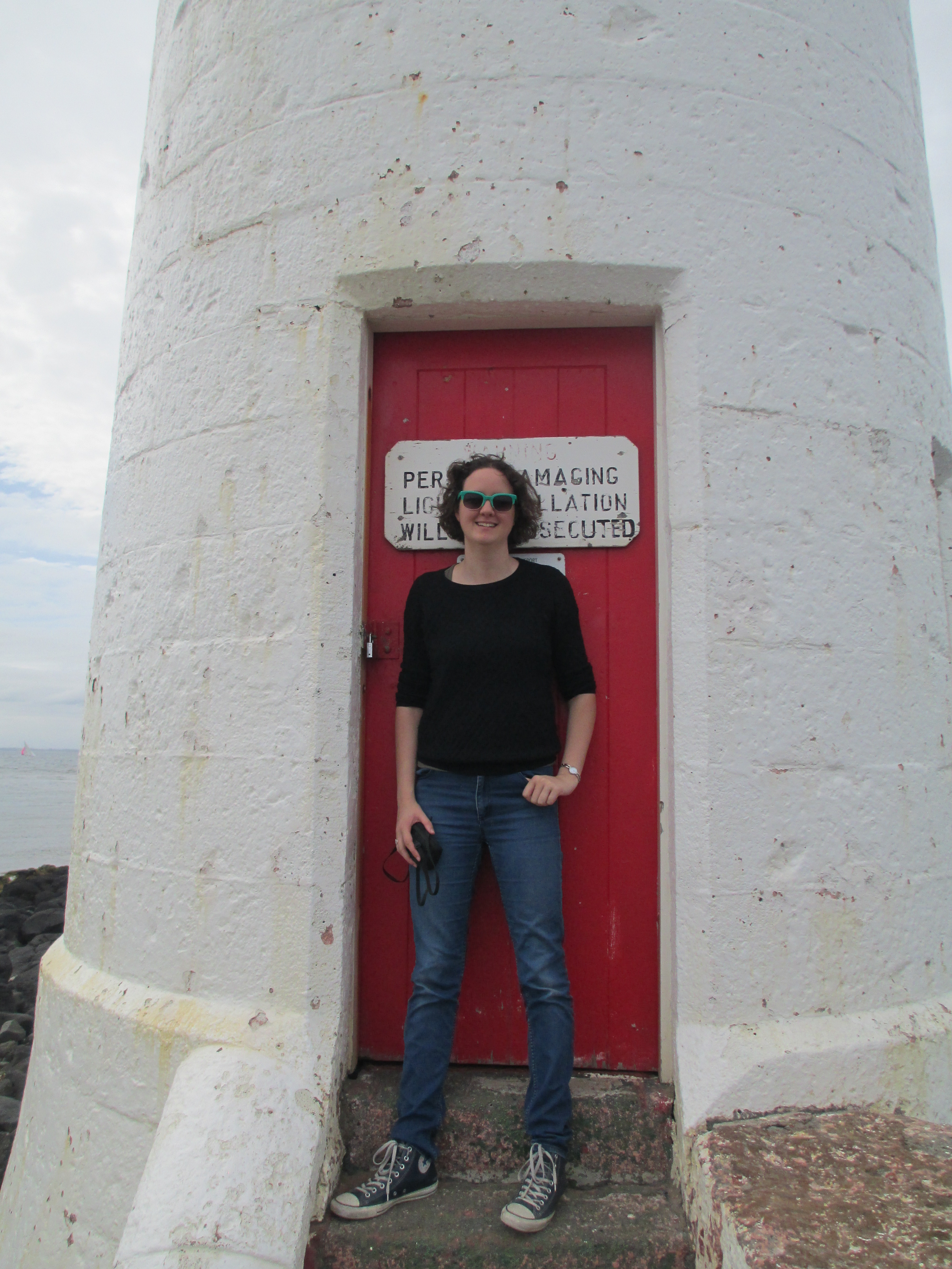
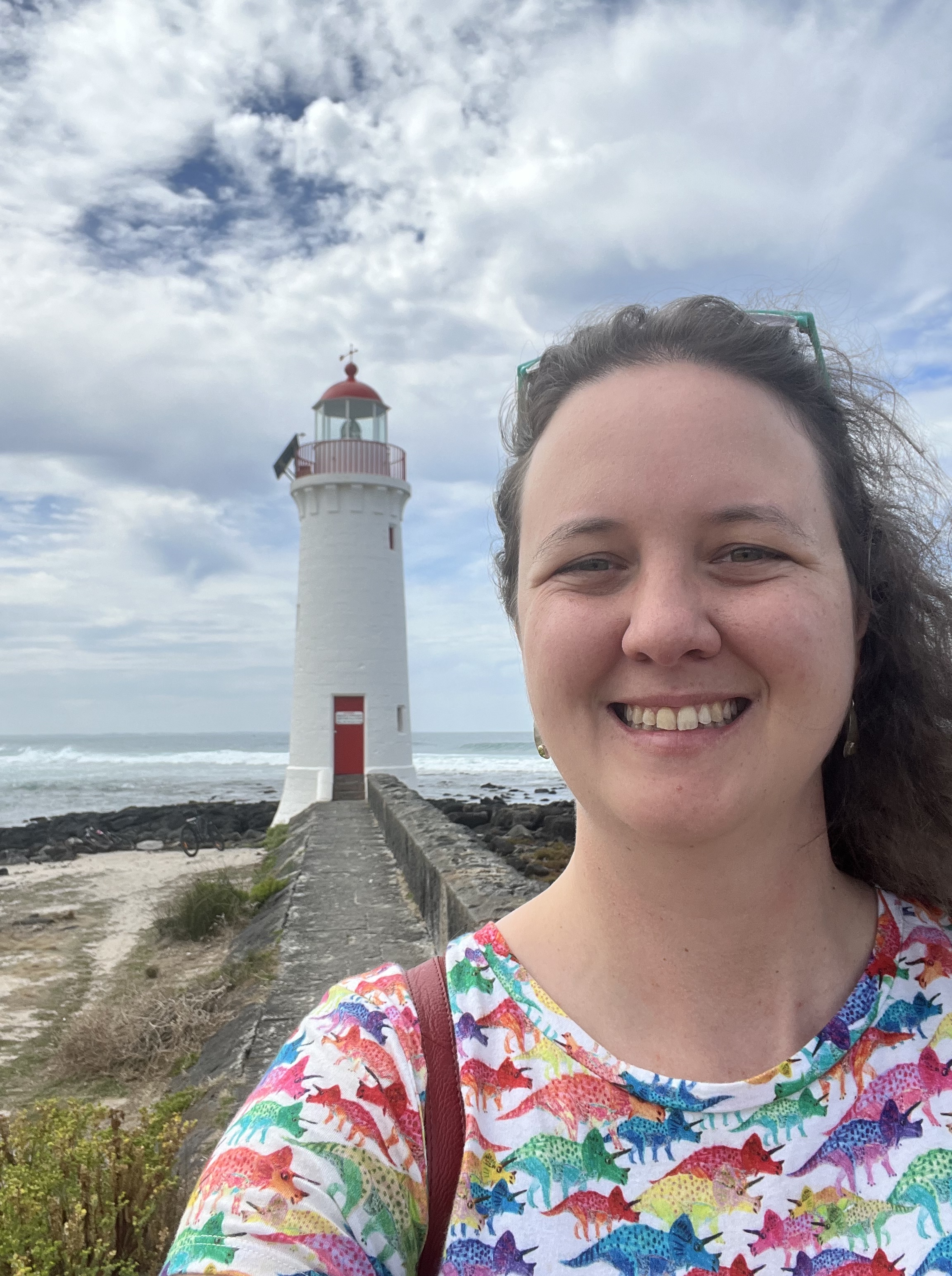
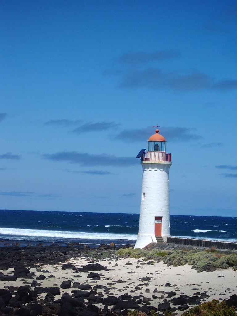
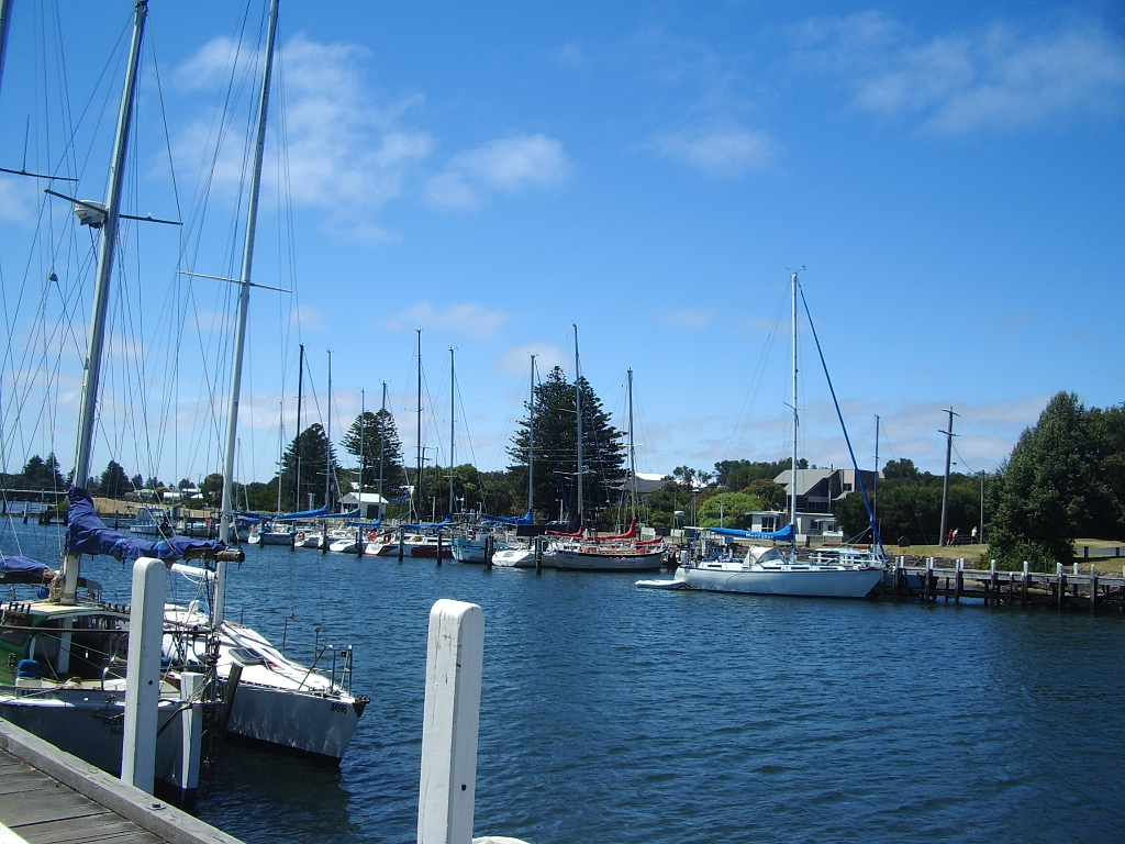
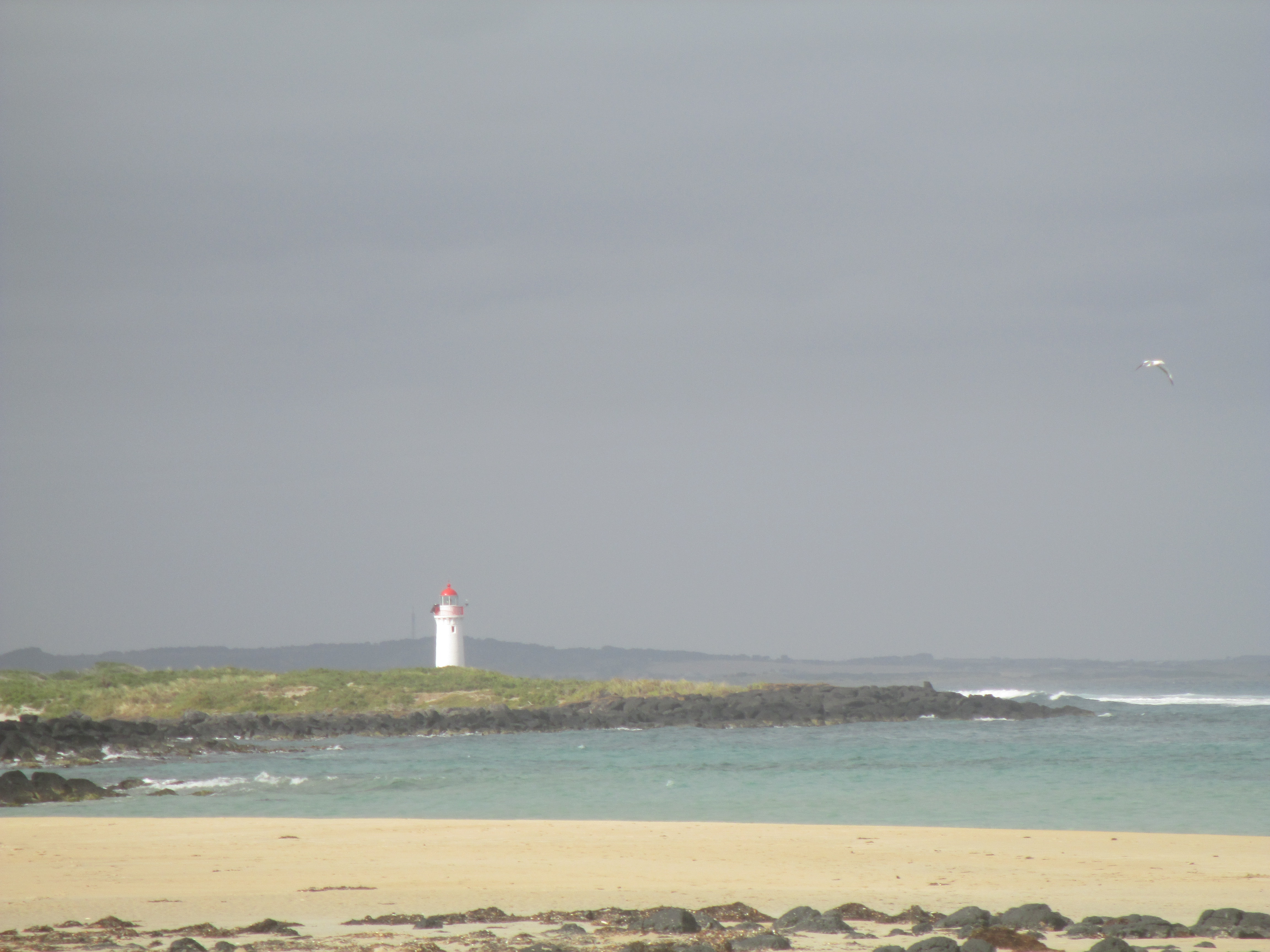
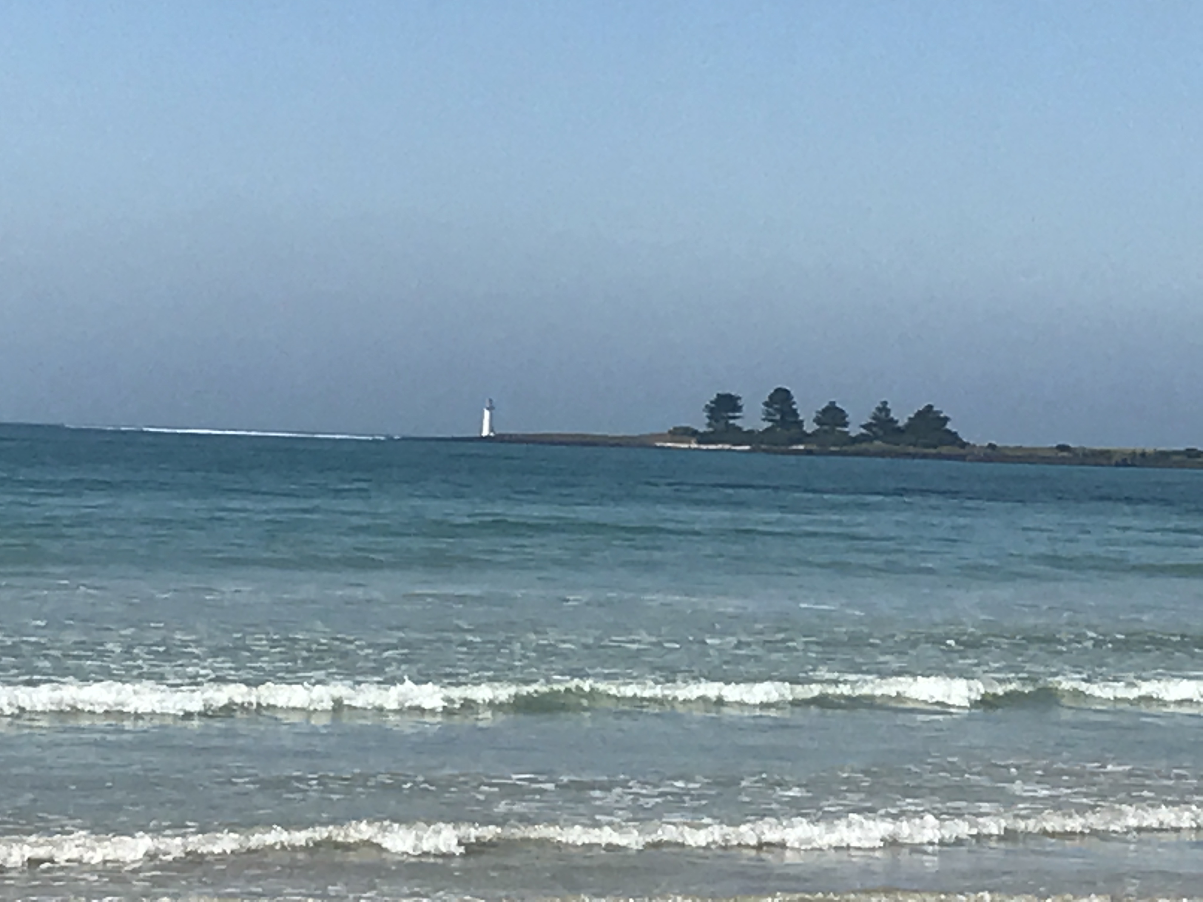
Port Fairy
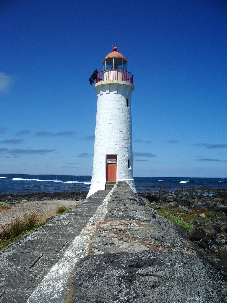
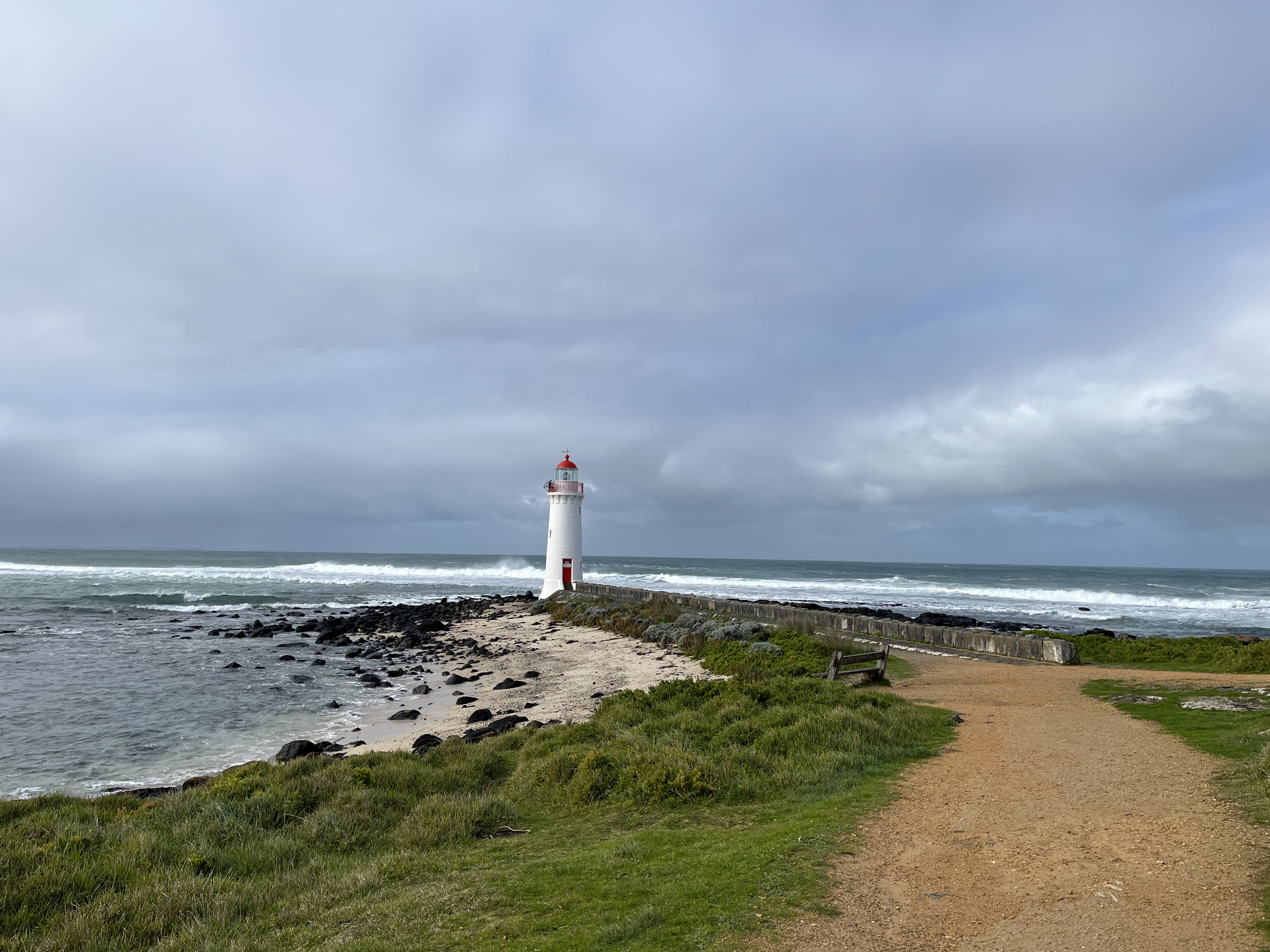
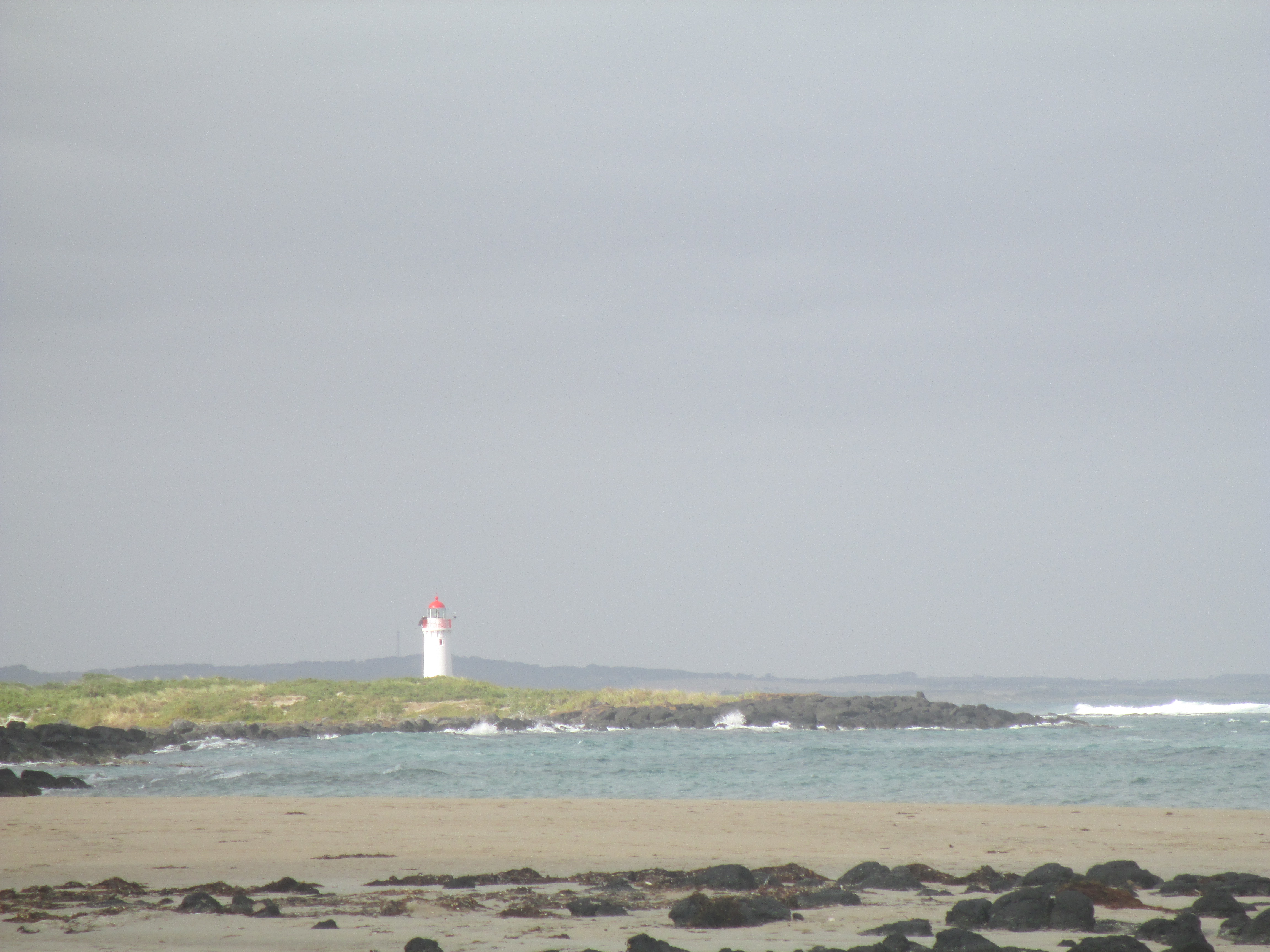
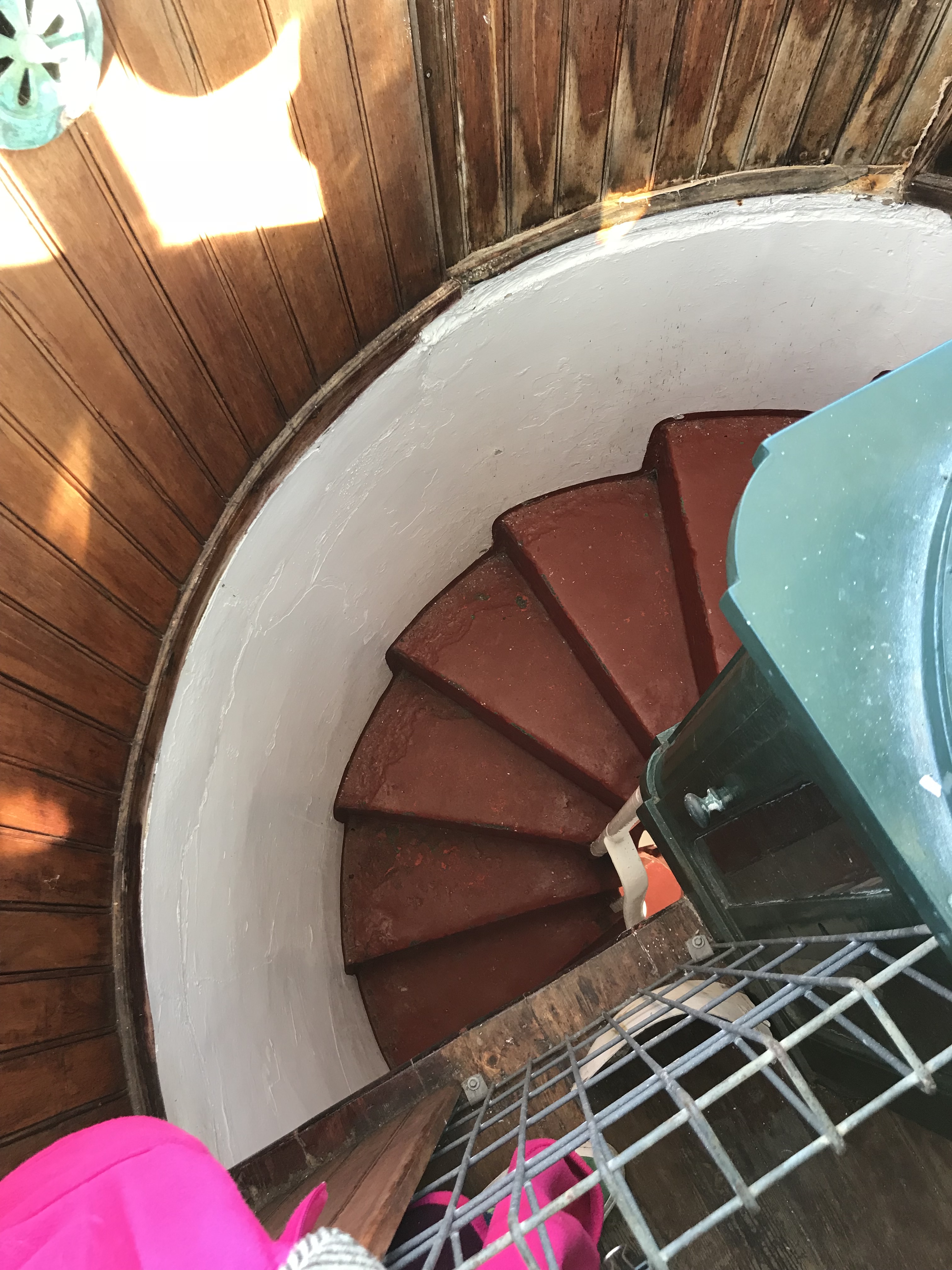
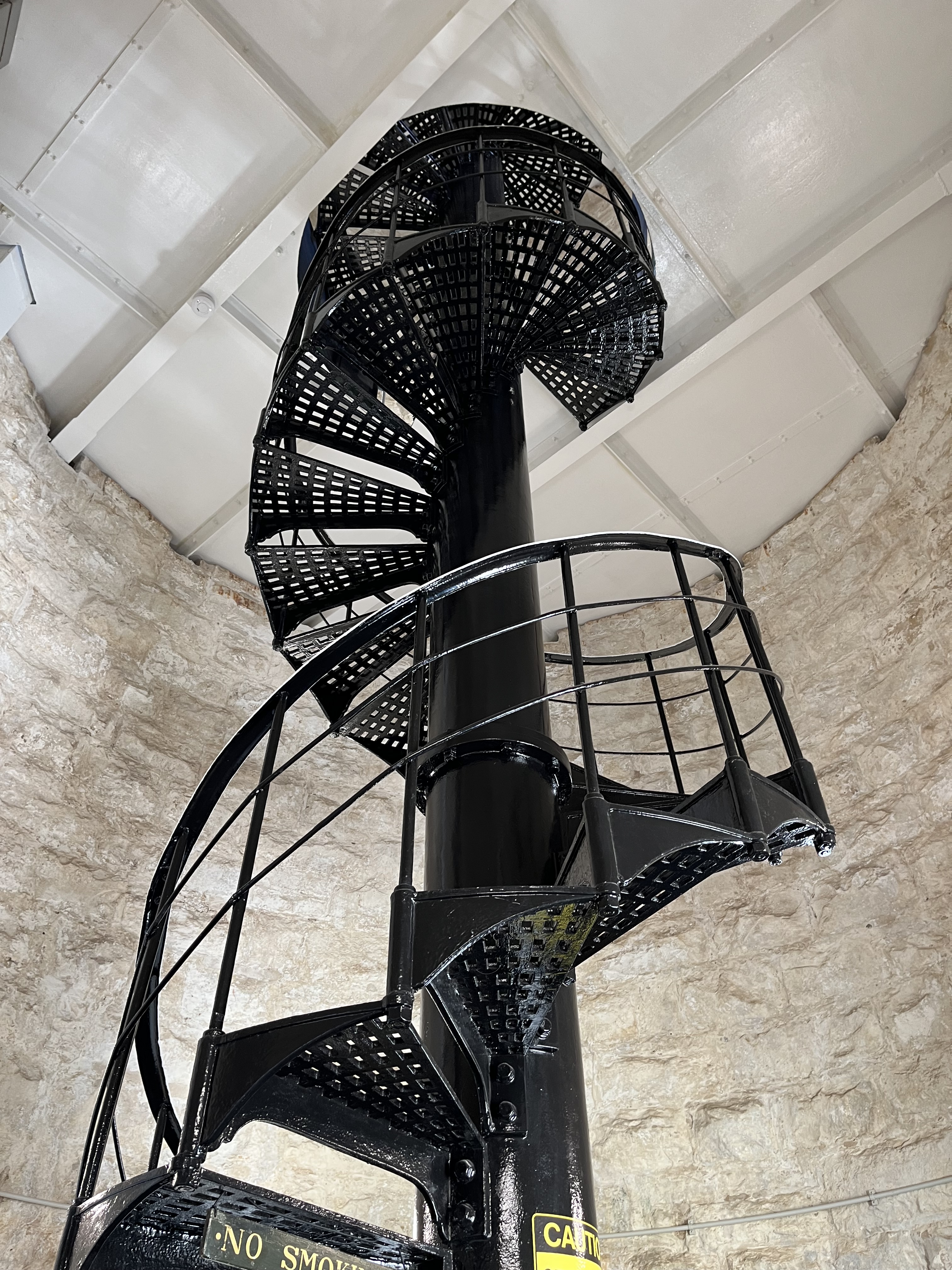
Still in Victoria, but moving down the coast. The lighthouse on Griffith Island, at Port Fairy in Victoria’s Western District, is one I’ve written about before. Which you can read here. You’ll notice a lot of photos in the gallery below. I’ve been going to Port Fairy since I was born, and the lighthouse is always a must visit friend. You’ll see it in plenty of weathers and times in the pictures. The lighthouse was built by the Victorian Public Works Department in 1859, it was originally painted red. It’s 11 metres tall and is built of bluestone with a basalt base. With Cape Schanck it’s one of only three Victorian lighthouses to have an internal stone spiral staircase, which you can also see in the video below. The lamp was another Chance Bros. Fresnel lamp and is now automated. The last lighthouse keeper lived there from 1929-1954. Griffiths Island is now connected to the mainland by a causeway but in the 1800s the island was only accessible by boat and it was often dangerously rough so was cut off completely from the mainland. It was extremely isolated. The island was originally 3 islands, Rabbit (on which the light house stands), Goat and Griffiths. They have joined together as one island, partly from coastal erosion and partly from the construction that surround the islands. They serve to protect the entrance to Port Fairy.
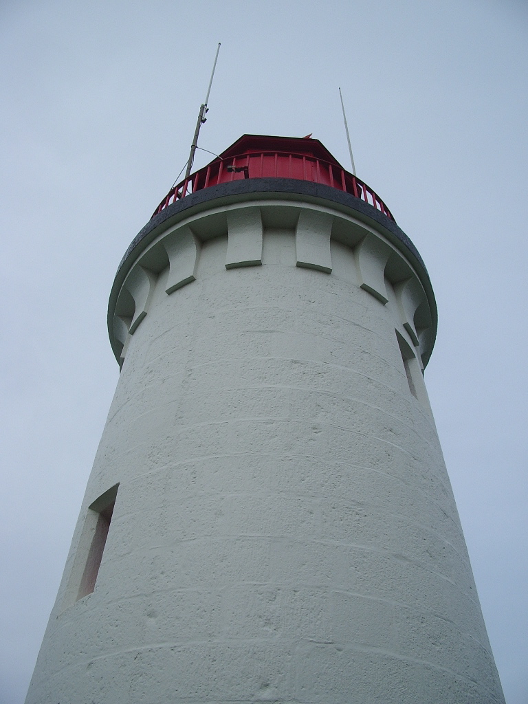
Portland
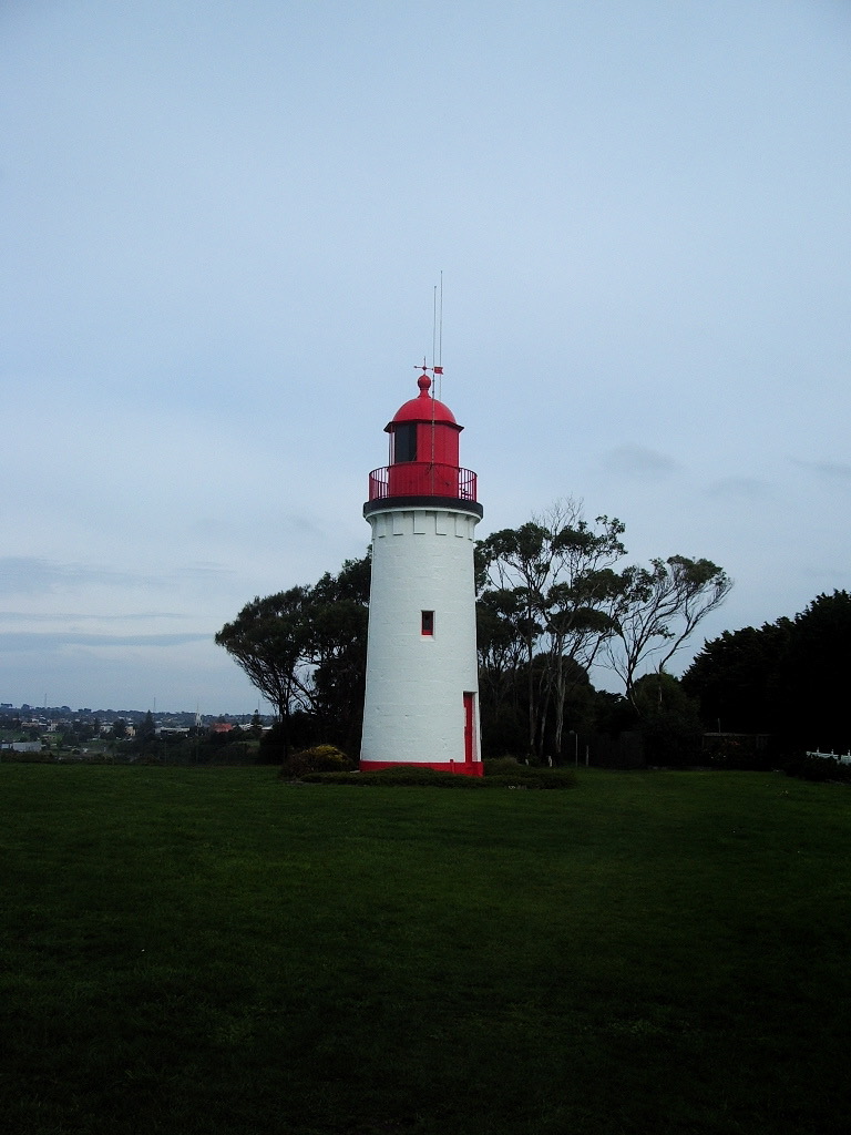
About an hour along the coast from Port Fairy, you’ll find the Whaler’s Bluff lighthouse in Portland. The lighthouse first stood on Battery Point, just a little further round the coast. It was first lit in 1859. In 1889 the battery emplacement guns began to be installed at Battery Point and the lighthouse was moved stone by stone to Whaler’s Bluff, where you find it now. The current light stands 40.5 metres above sea level and can be seen for 24 km out to sea. It flashes white and red every 30 seconds.
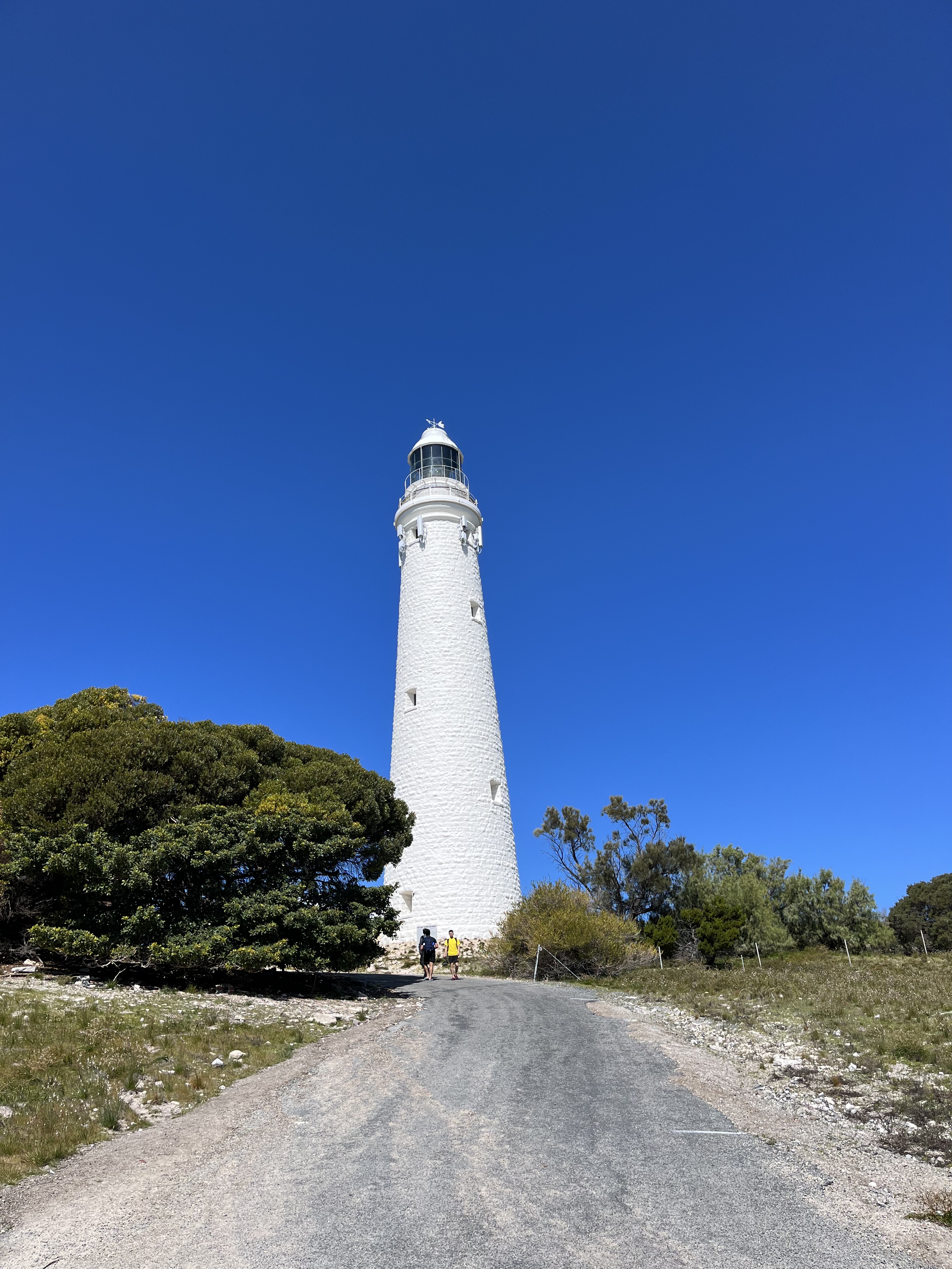
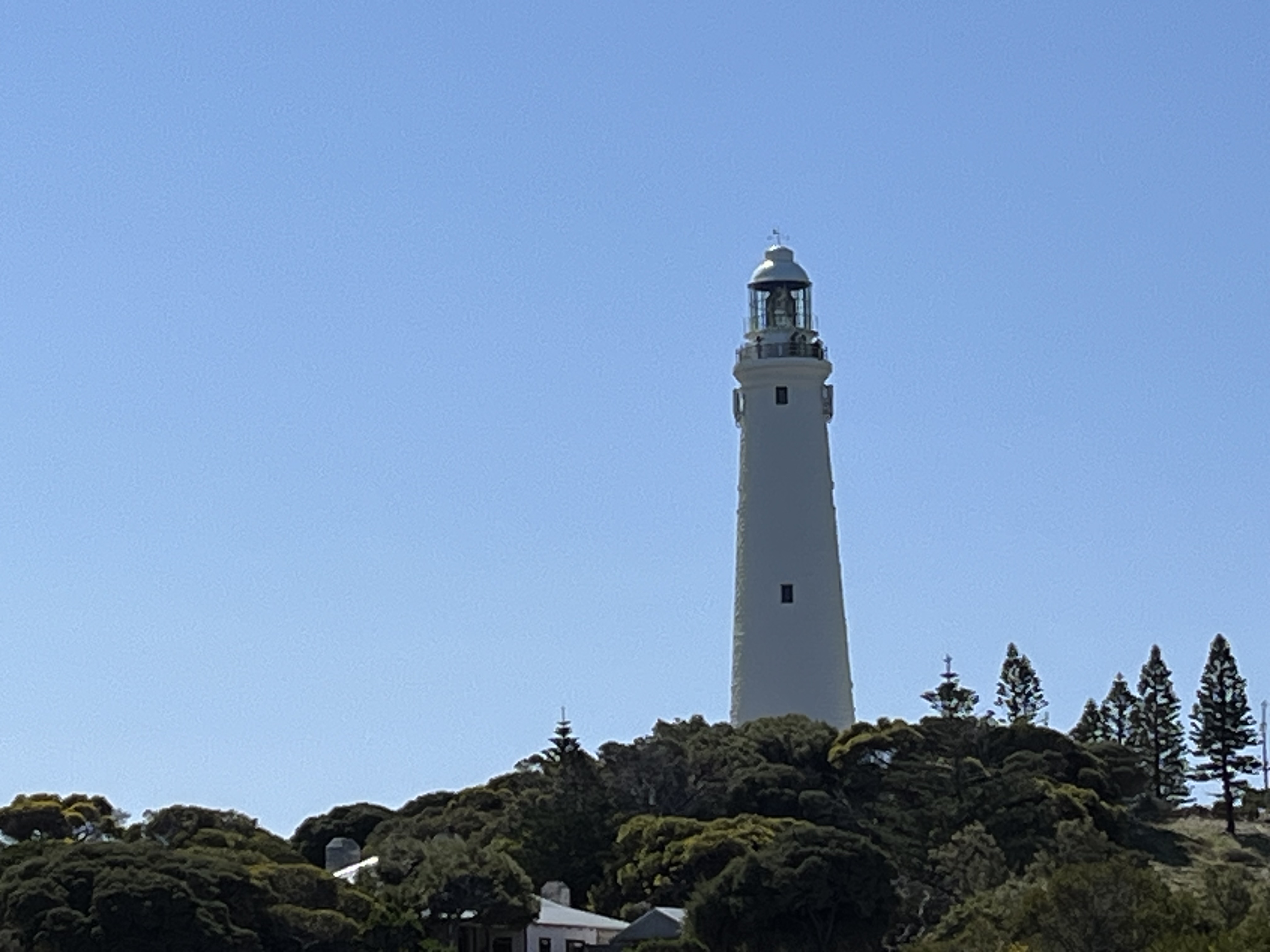
Rottnest Island
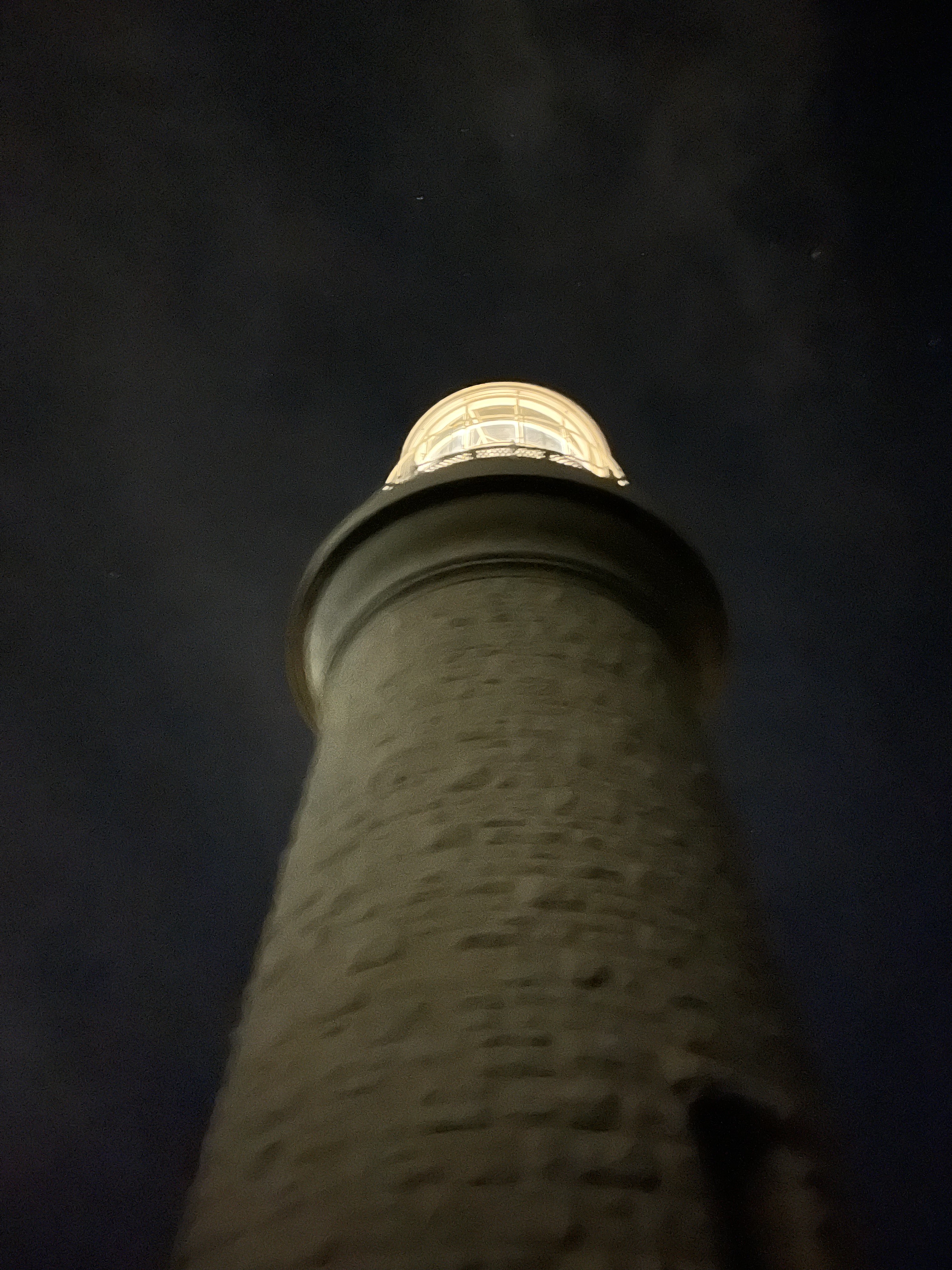
We’re travelling back to Western Australia. This time to talk about two different lighthouses – both on Rottnest Island. The first is Rottnest lighthouse – on the left- and Bathurst Point lighthouse – on the right.
Rottnest Island is about an hour off the coast of Perth Western Australia, and as you can see boasts two lighthouses.
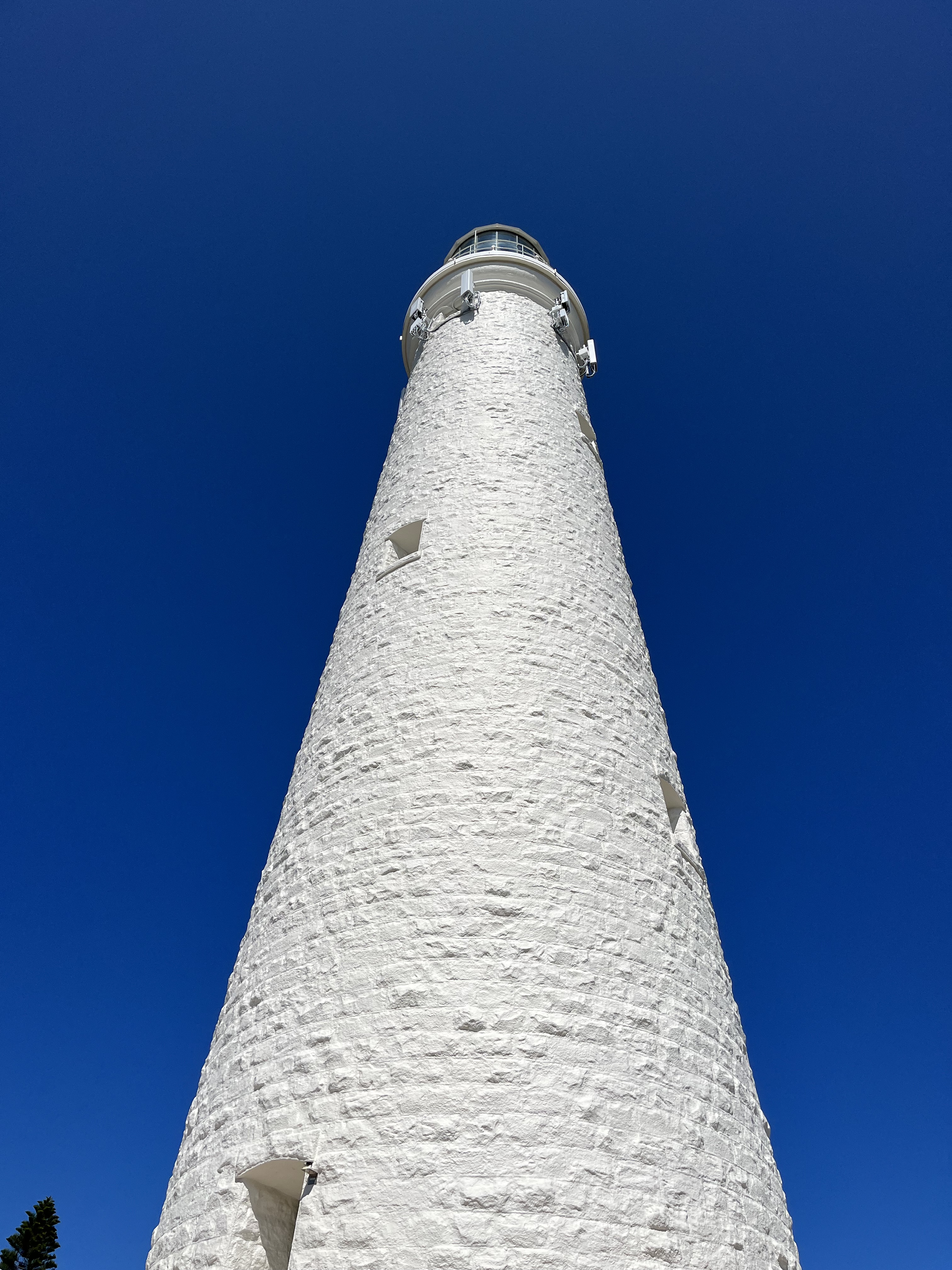
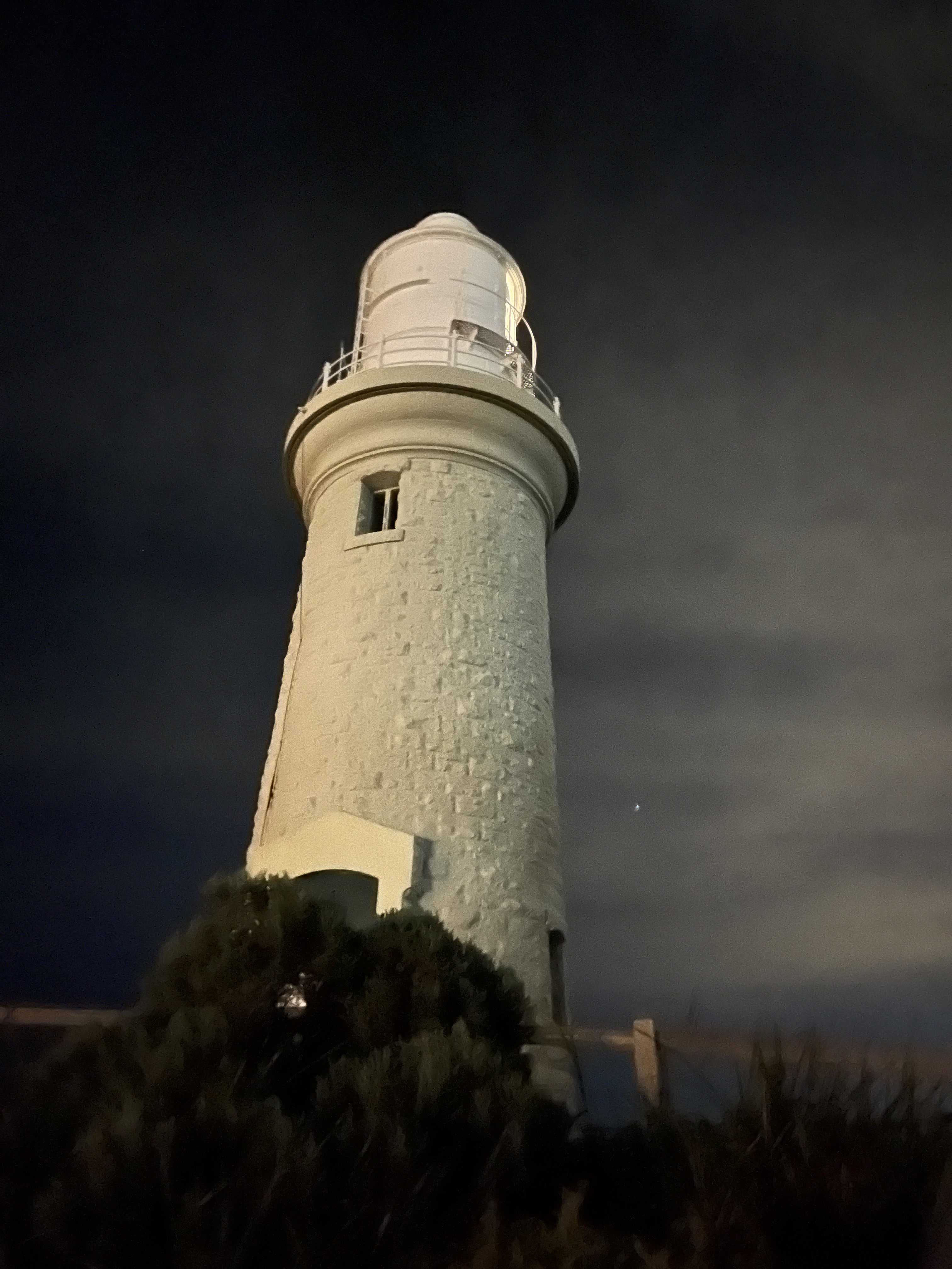
We’ll start with Rottnest Island Lighthouse. This is the second lighthouse on this site- the first was built using First Nations prisoners as unpaid forced labour. The second by paid contractors. This one opened in 1896 and is 30 m tall. It’s built of local limestone with a Chance Bros Fresnel lamp, that is still operational, though it is now automated. It was electrified in the 1930s and personned until 1990.
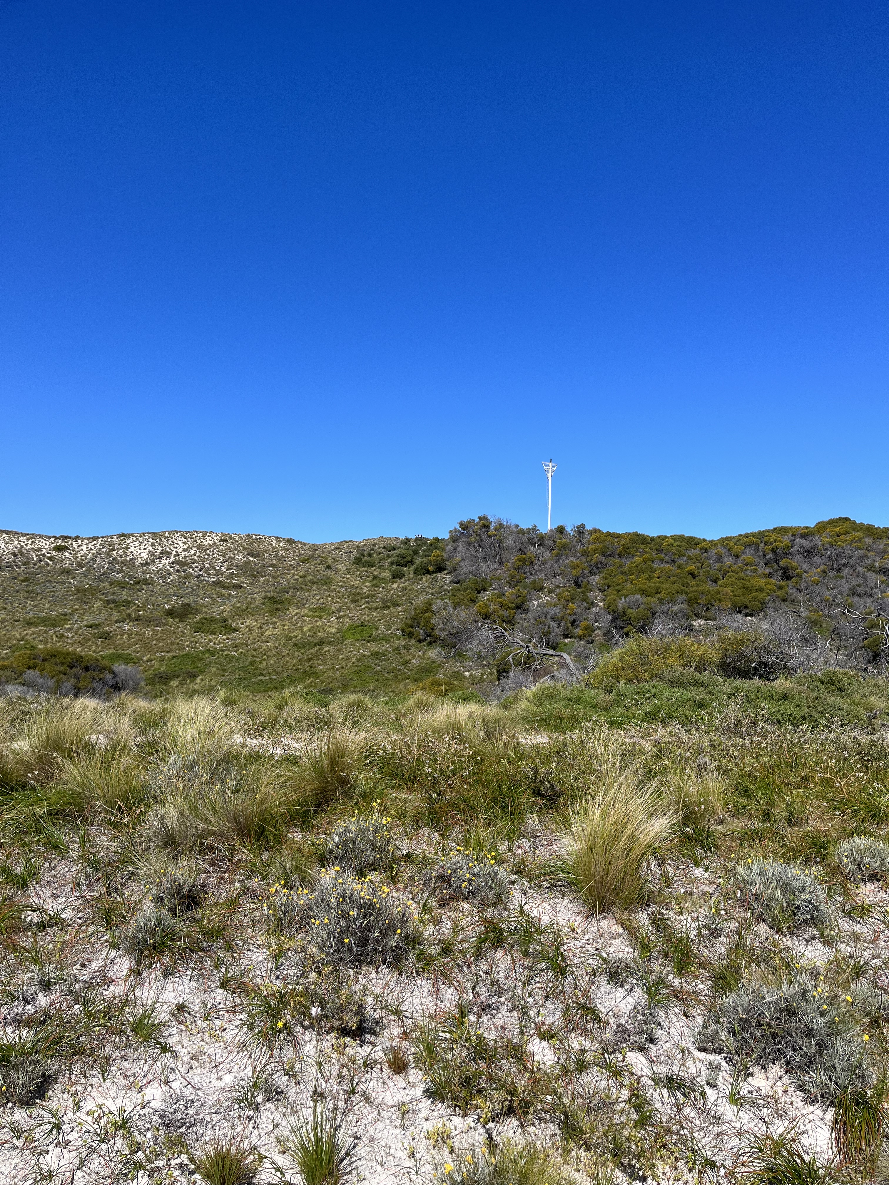
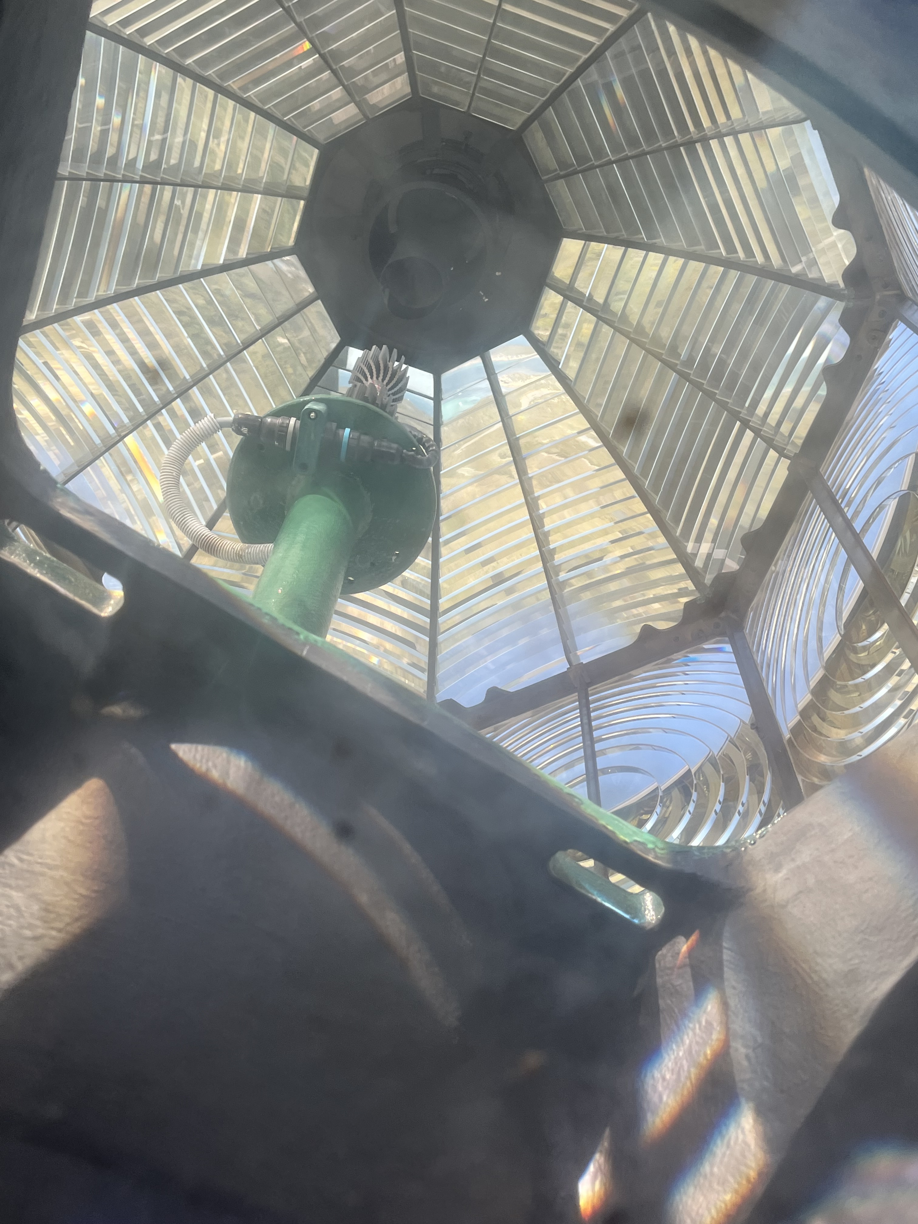
Bathurst Point is the subsidiary lighthouse on the island. It was built in 1900, again from the local limestone. It was built so ships could use both lights and navigate the reefs using triangulation. It was electrified in 1986. What I found fascinating about Bathurst Point is that it’s easily accessible by foot at night, so I actually got to see it in operation which you can see in a videos below. The photo above is also one of the pictures on my lighthouse wall I mentioned at the beginning. The other is Port Fairy, but it’s a painting by a local artist so I can’t show it here.
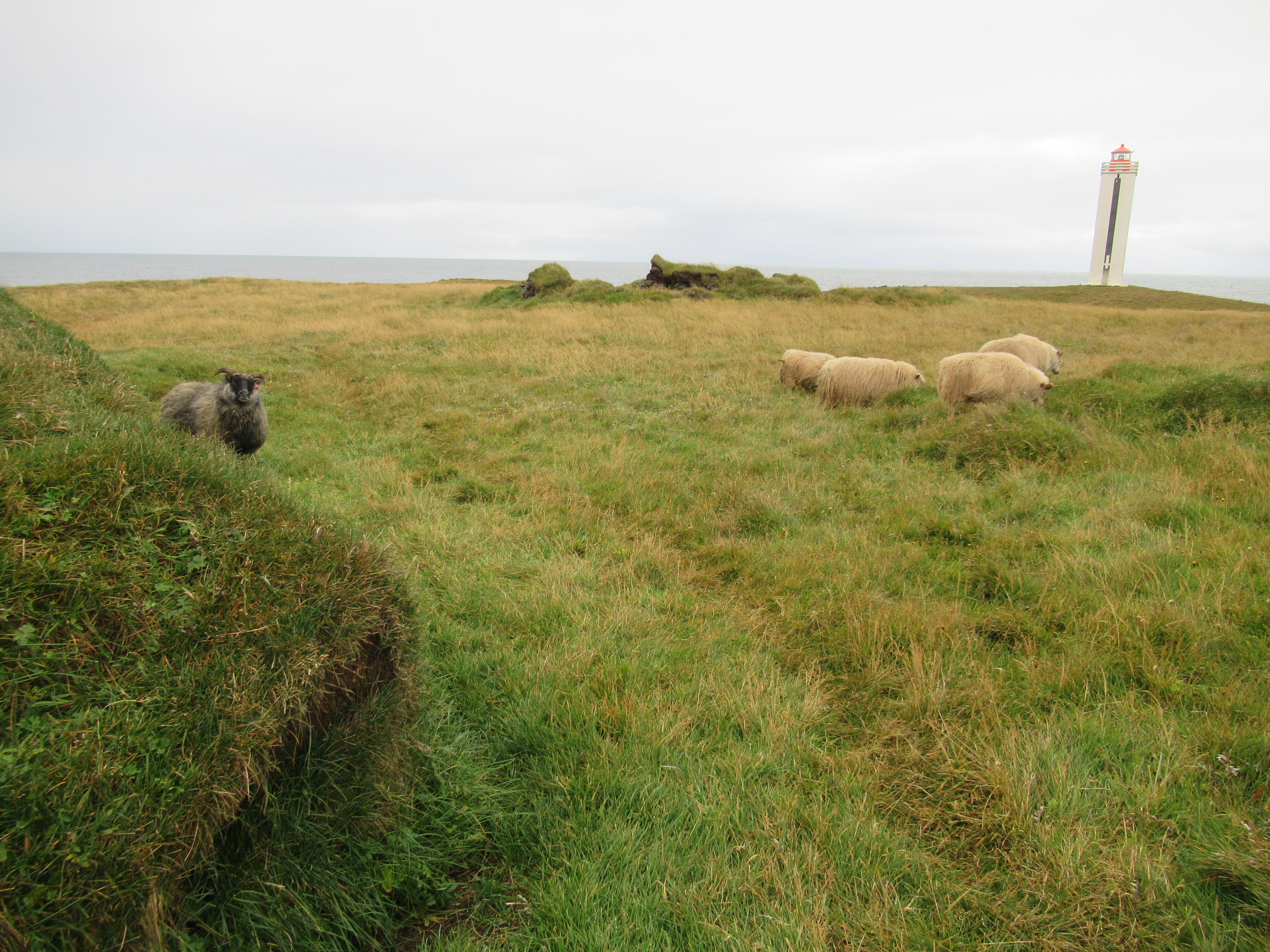
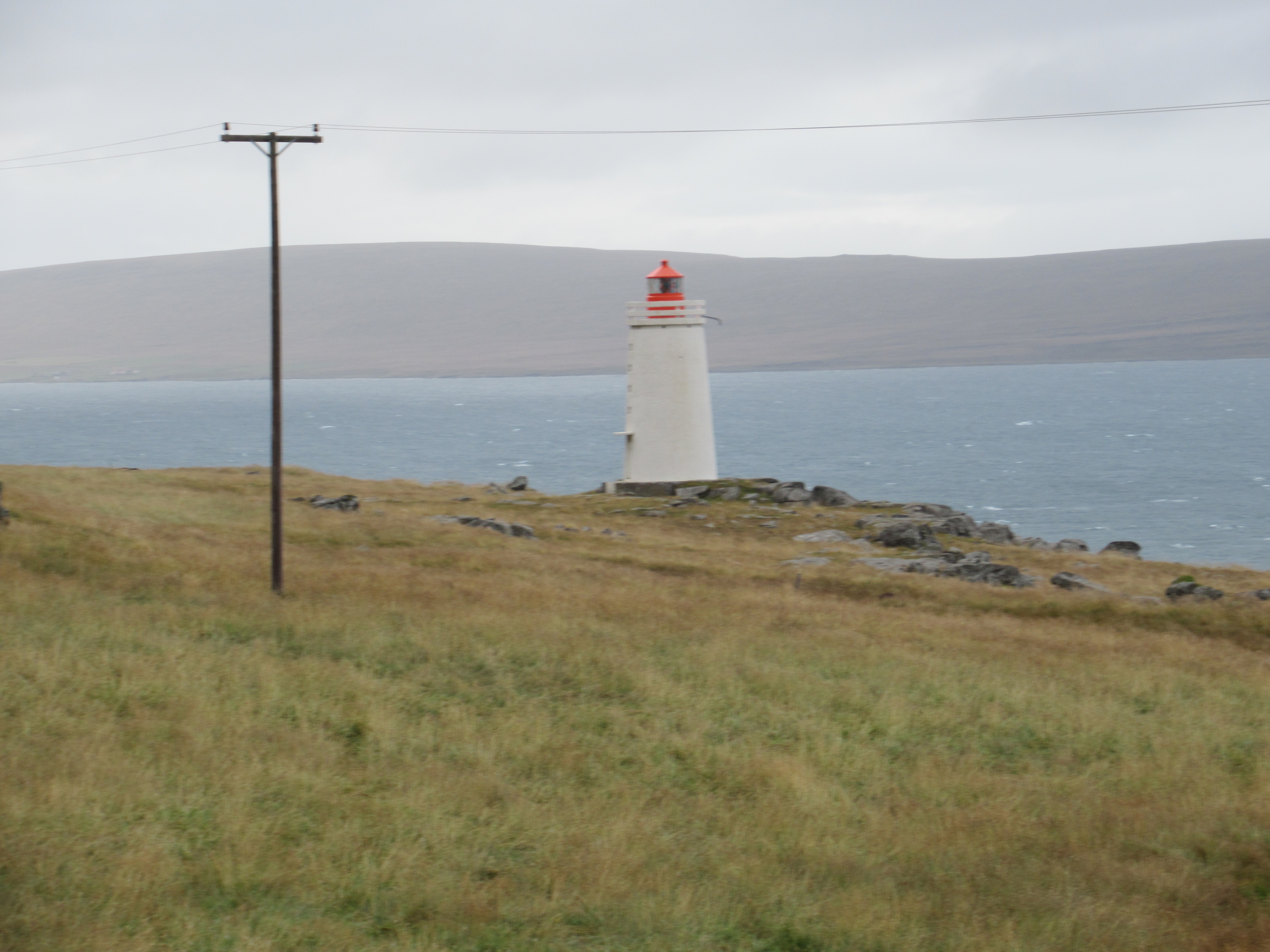
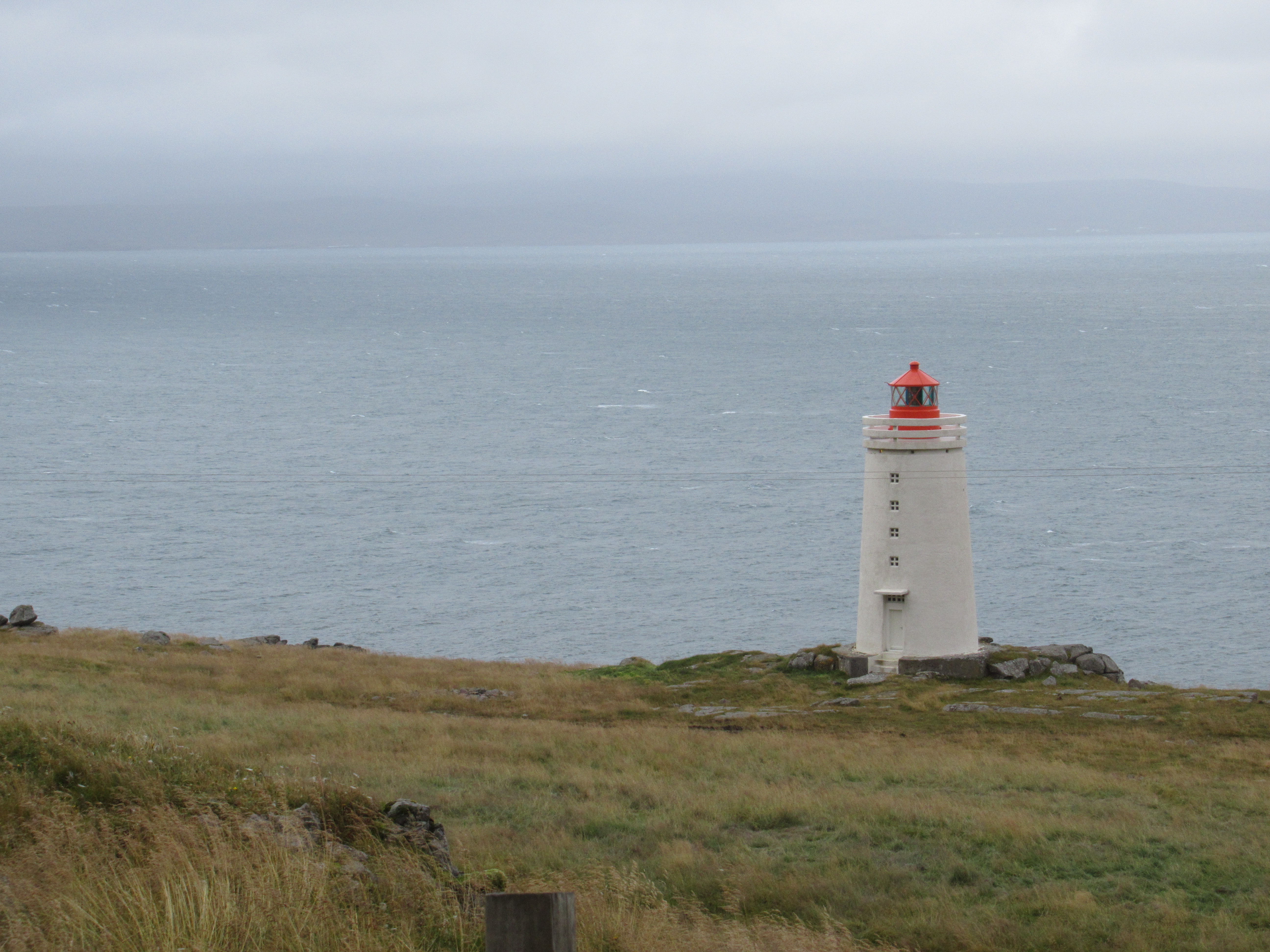
Skardsviti Lighthouse
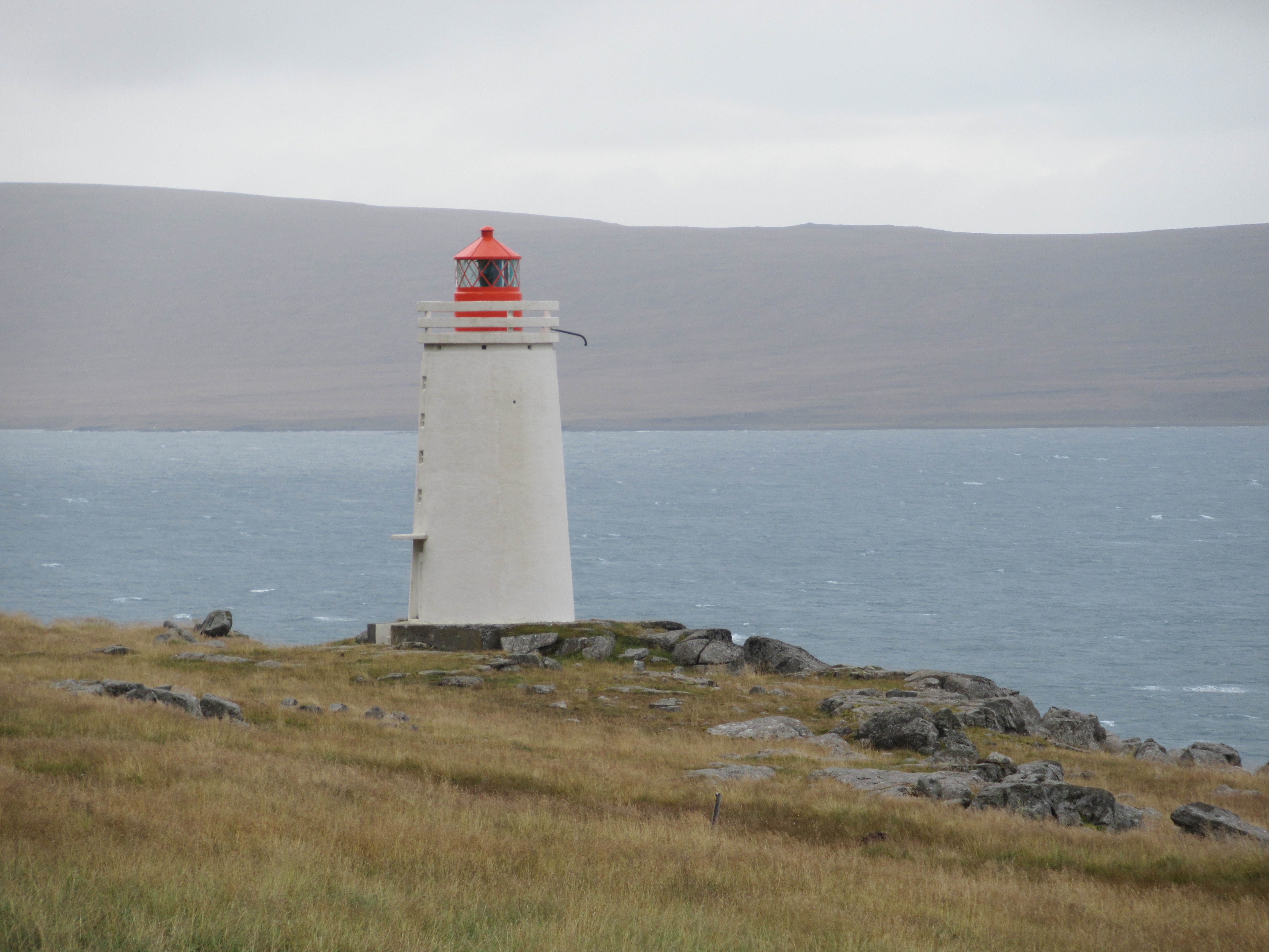
We return to Iceland, for the final Icelandic lighthouse for this blog. Skardsviti was built in 1950, again making it one of our more recent lighthouses, and it was first lit in 1951. It was built to improve navigability for ships crossing the Arctic Sea. Like Kálfshamarsvík it was designed by Axel Sveinsson. It stands at 14 metres tall and is 53 metres above sea level. It was electrified in 1980 and automated by 1992. It flashes white, red and green every thirty seconds.
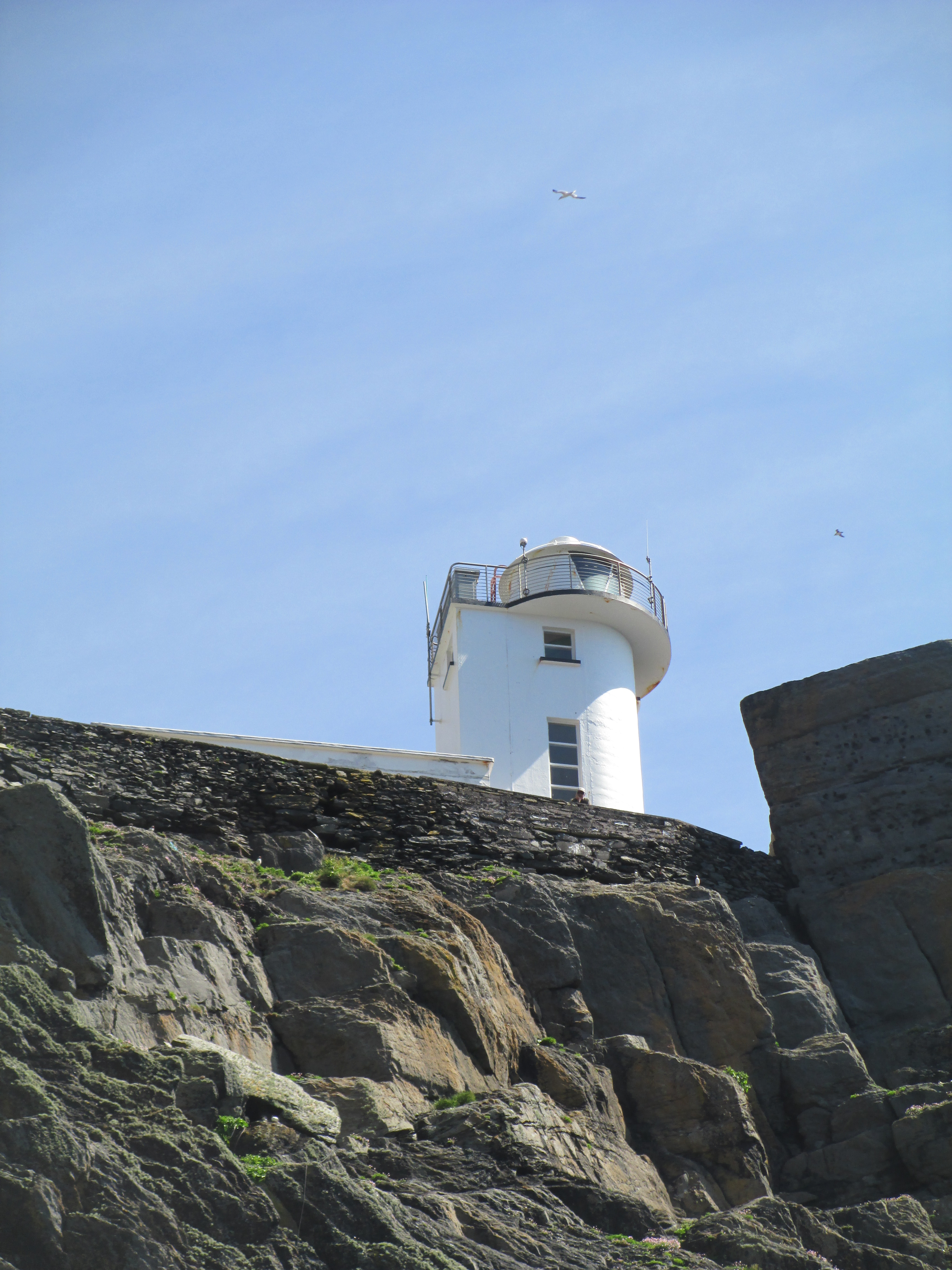
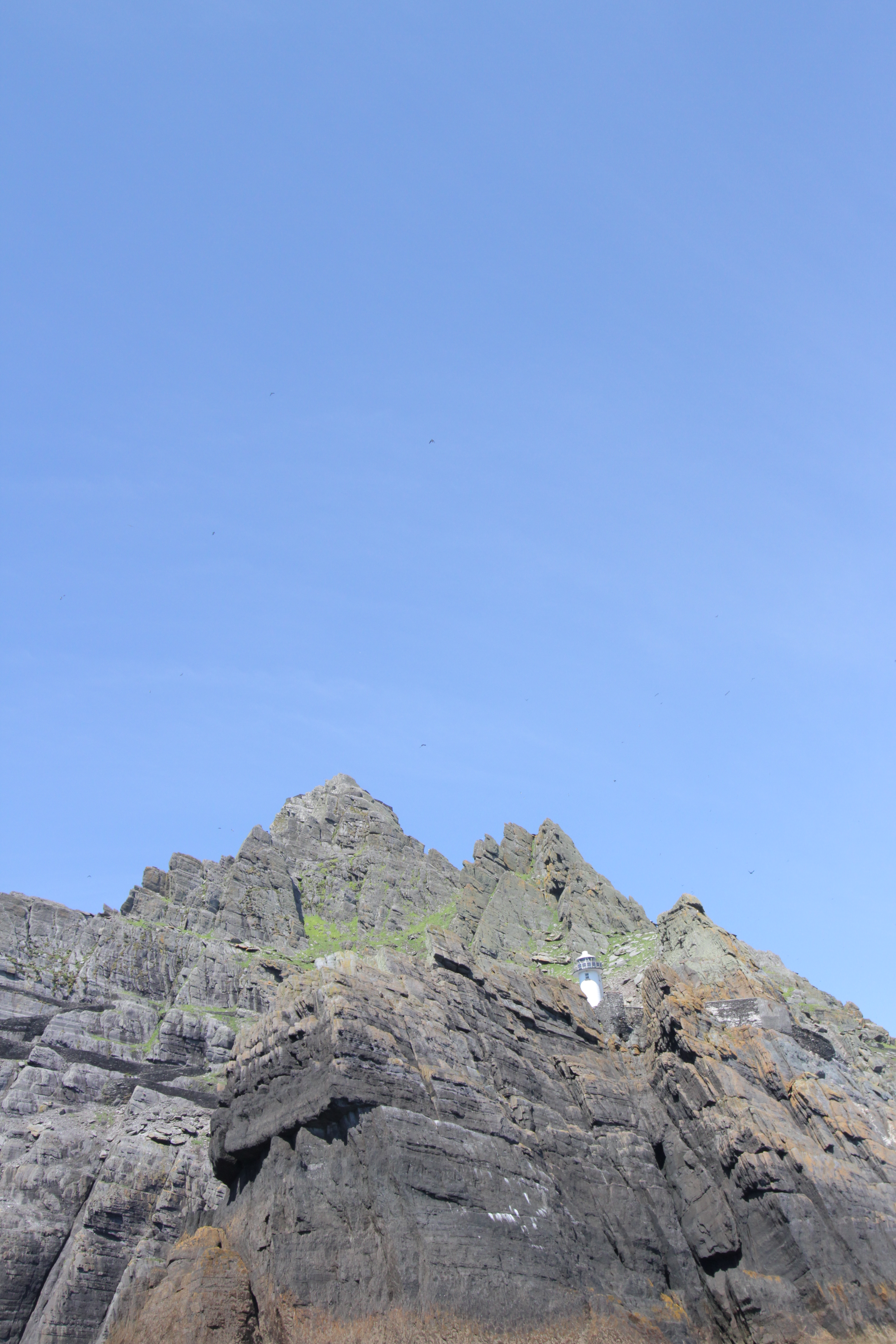
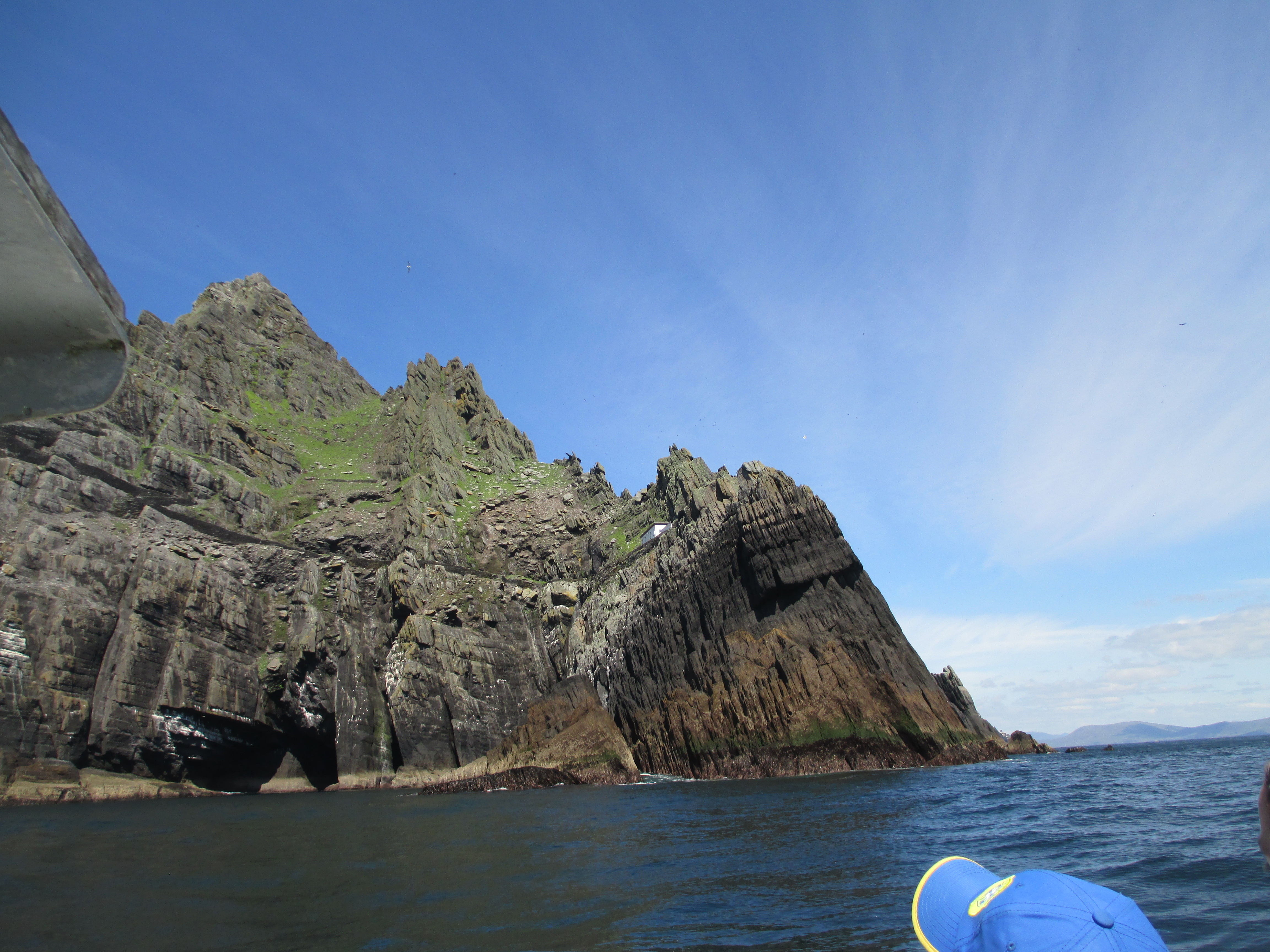
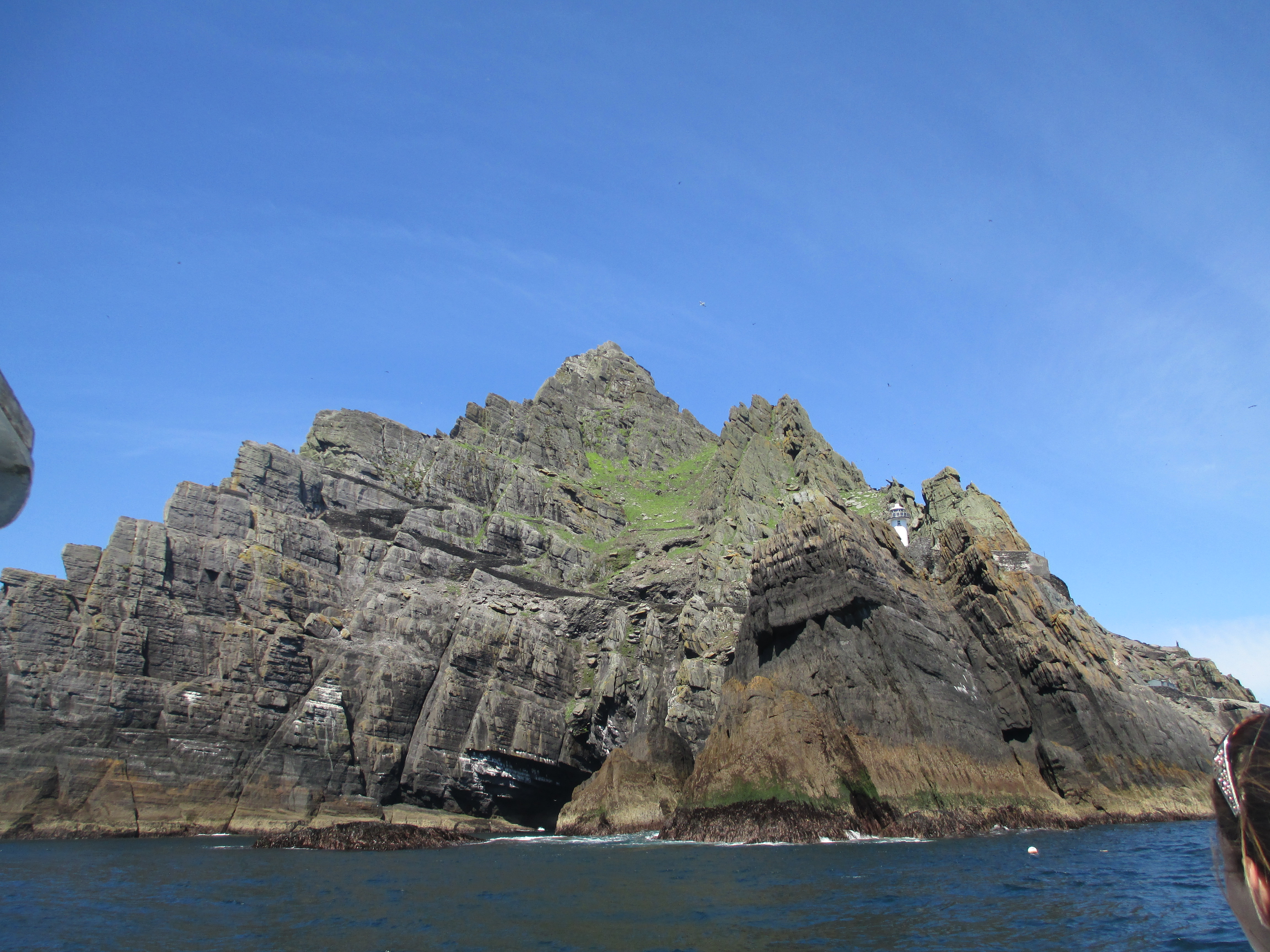
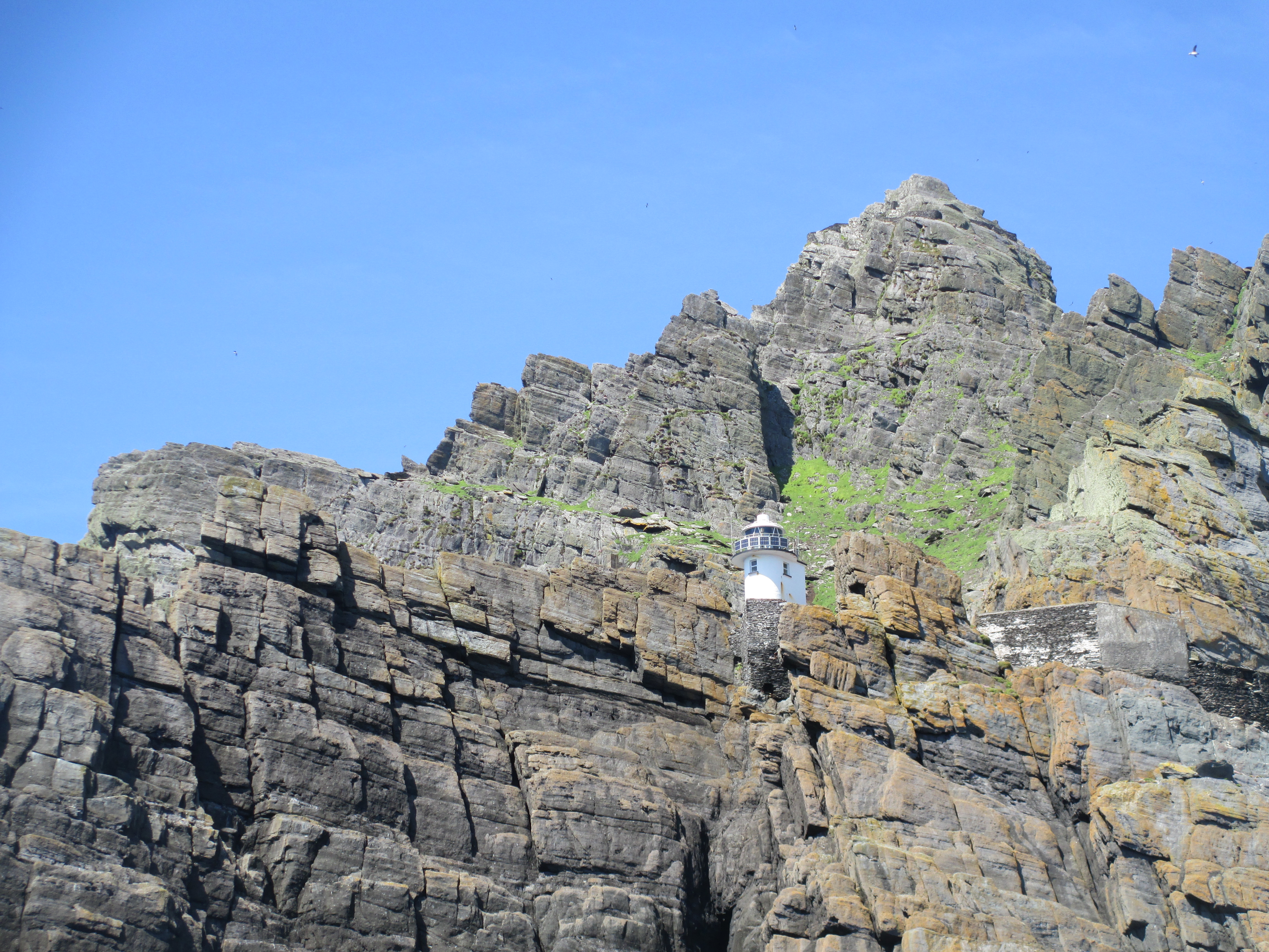
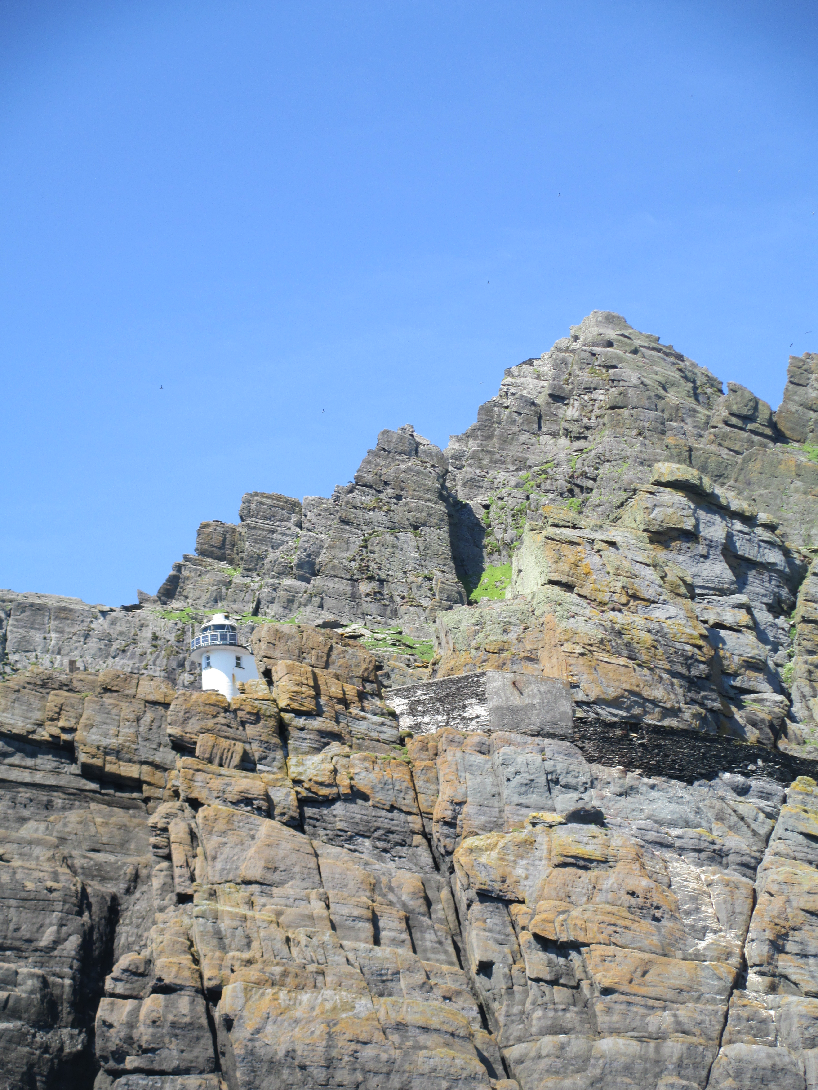
Skellig Michael
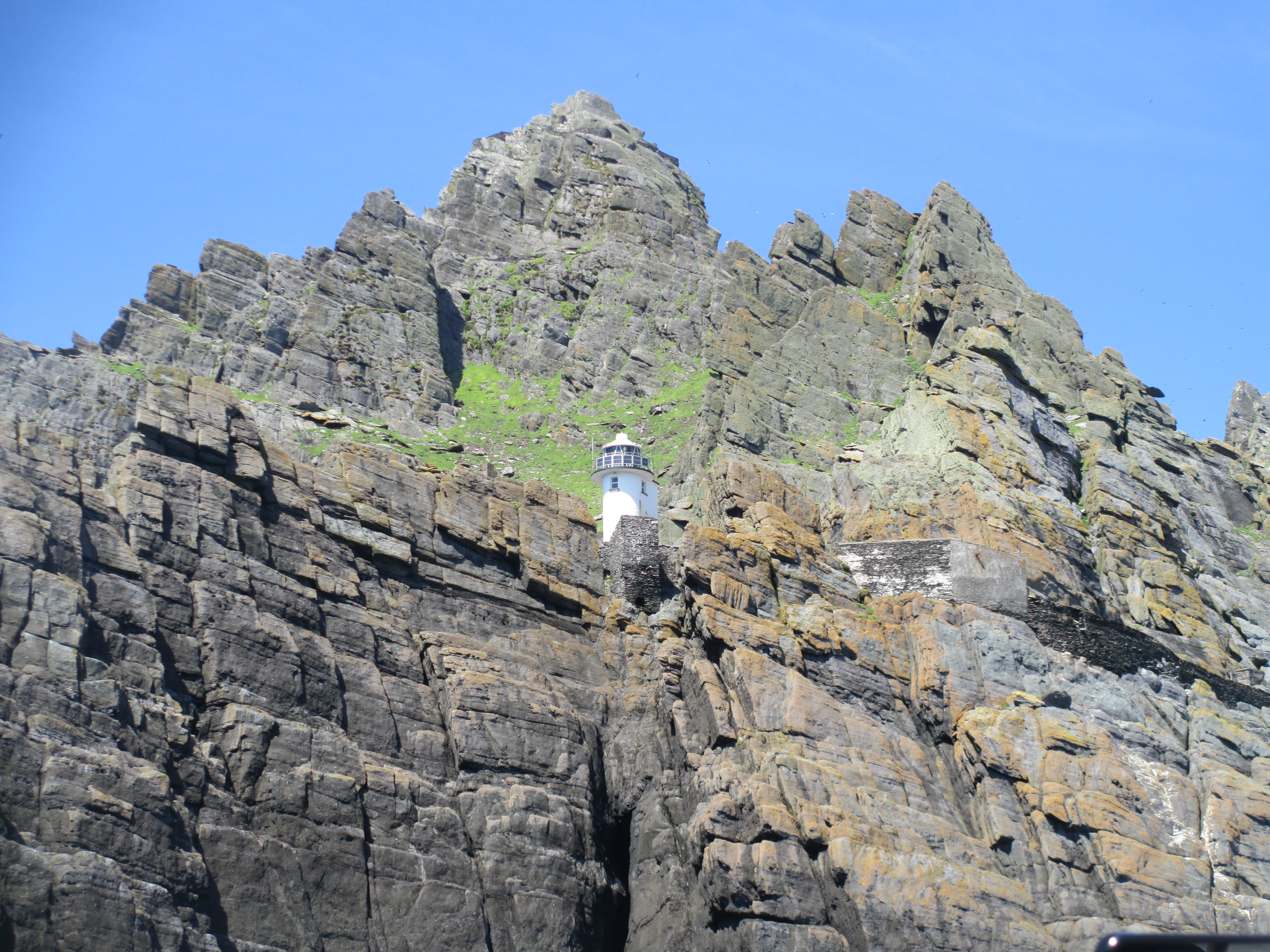
I’ve written about Skellig Michael – the extraordinary 6th century monastic settlement on a rock 13km off the coast of Ireland into the Atlantic – before. You can read that here. But, while Skeillig Michael is deservedly known for the monastic settlement, it also has a lighthouse. Most of my photos of it are at funny angles because they were taken from a smallish boat on a slightly bumpy sea. There were actually two lighthouses on Skellig, both built in the 1800s, and one of which is still in operation today. It is automated. In the 1800s there was a vast increase in trans Atlantic trade and the seas around Kerry were notoriously dangerous. The Corporation for Preserving and Improving the Port of Dublin, known as the Ballast Board, decided to solve the issue by building a permanent light on Skellig. Work began in 1821 and was finished in 1826. The two lights were built, the upper light and the lower light, to make it easier to distinguish Skellig from other lighthouses on the Irish coast. Both towers were roughly 14 metres tall. The upper light was 121.3 metres above sea level and lower light was, predictably, lower at 53.3 metres above sea level. The upper light was intended as the primary light and its beacon was visible for 40 km. However, because it was higher it was frequently shrouded in heavy mist and it was discontinued in 1870. The lower light however continues to be used to this day. It was fully automated and unpersonned in 1987 and it remains one of the first lights ships see when approaching the Irish coast from the west.
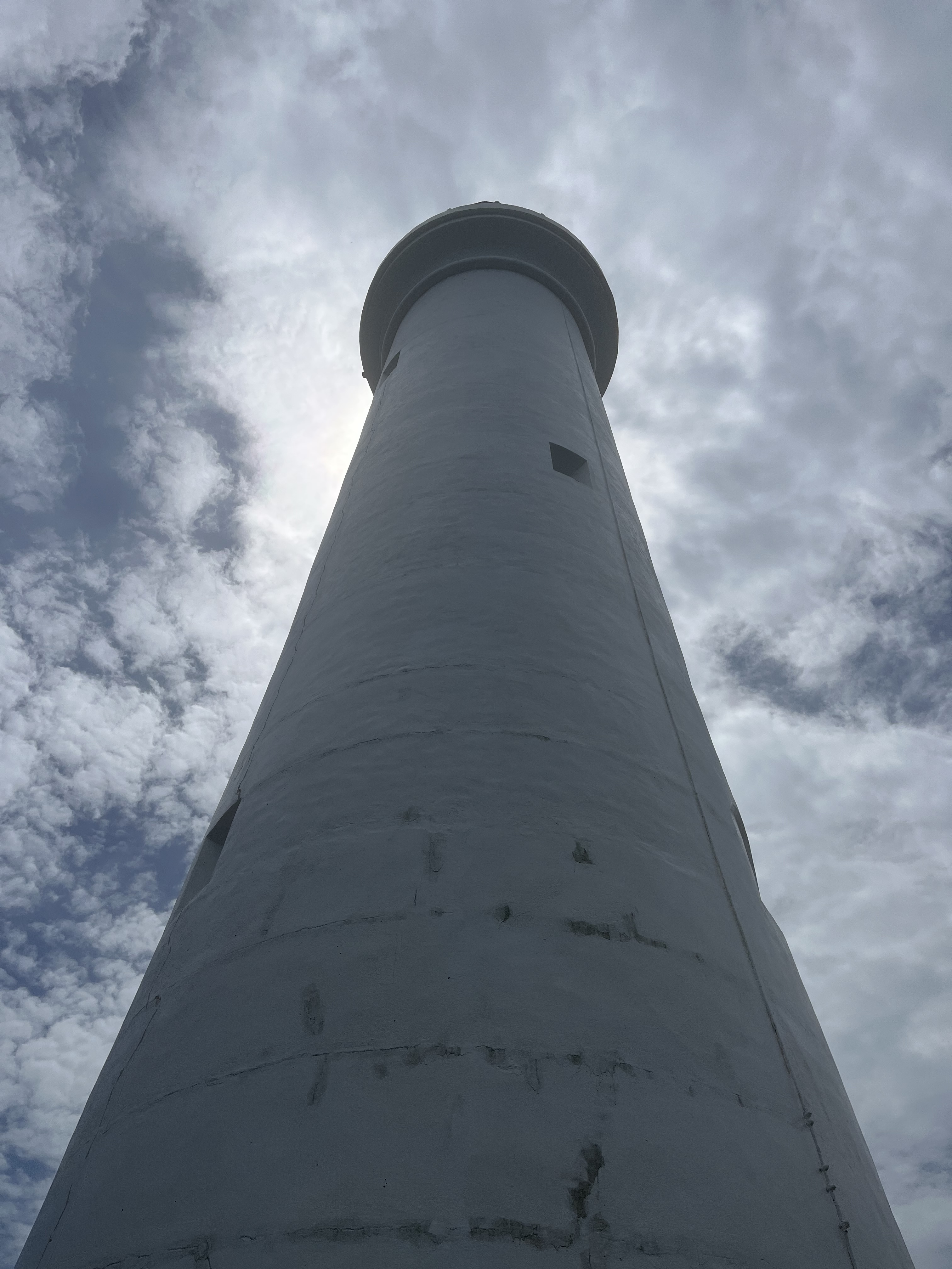
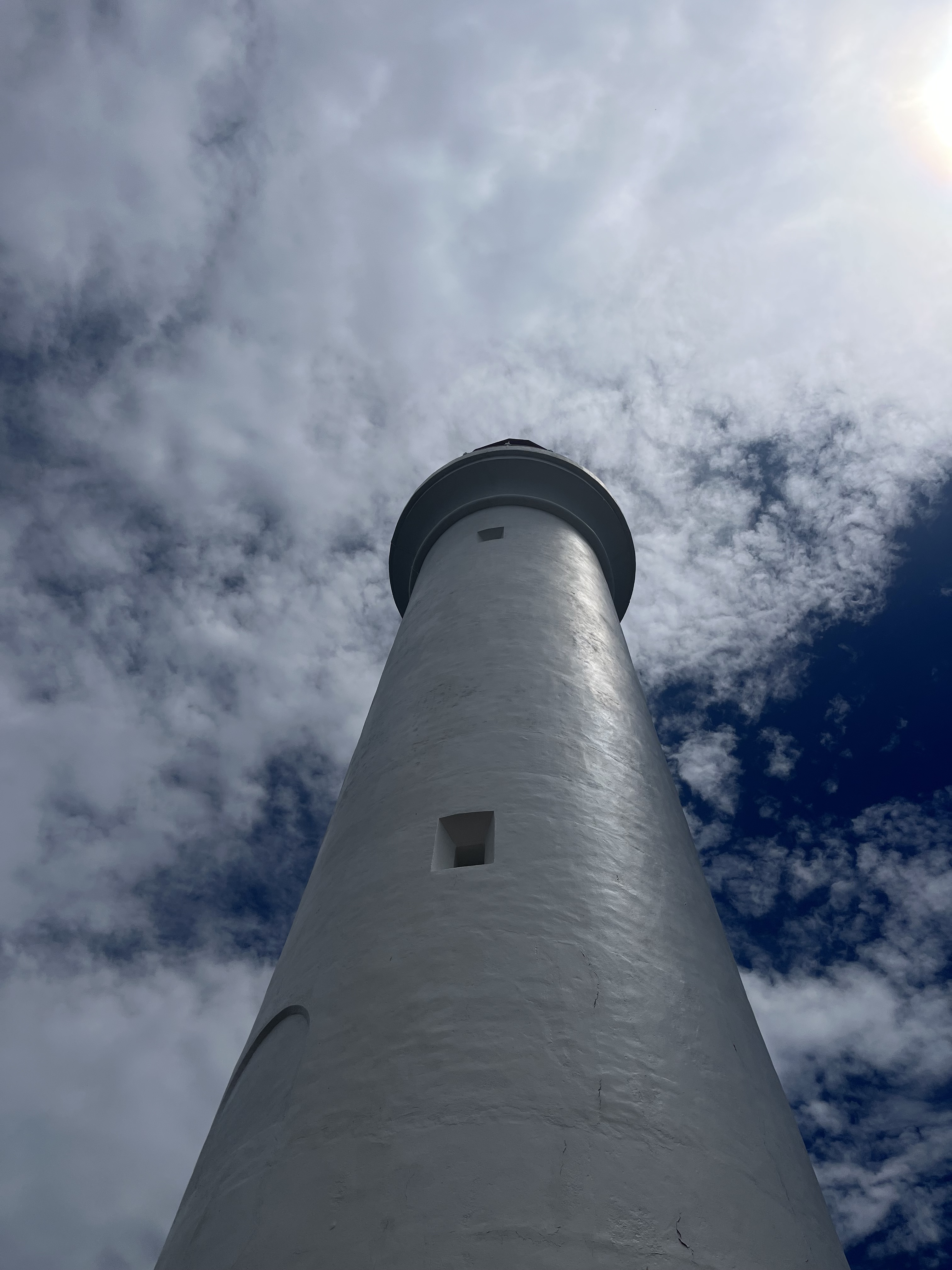
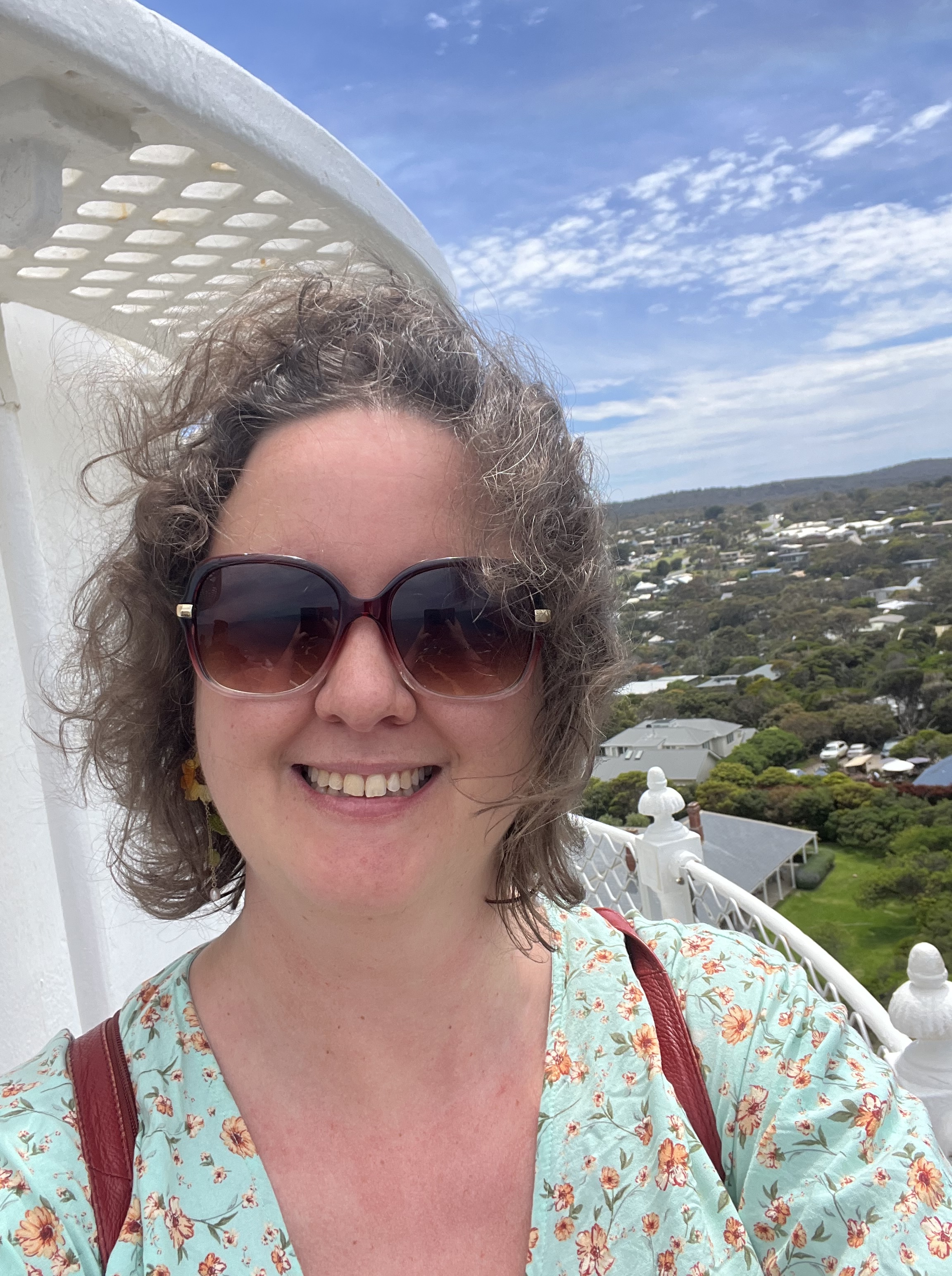
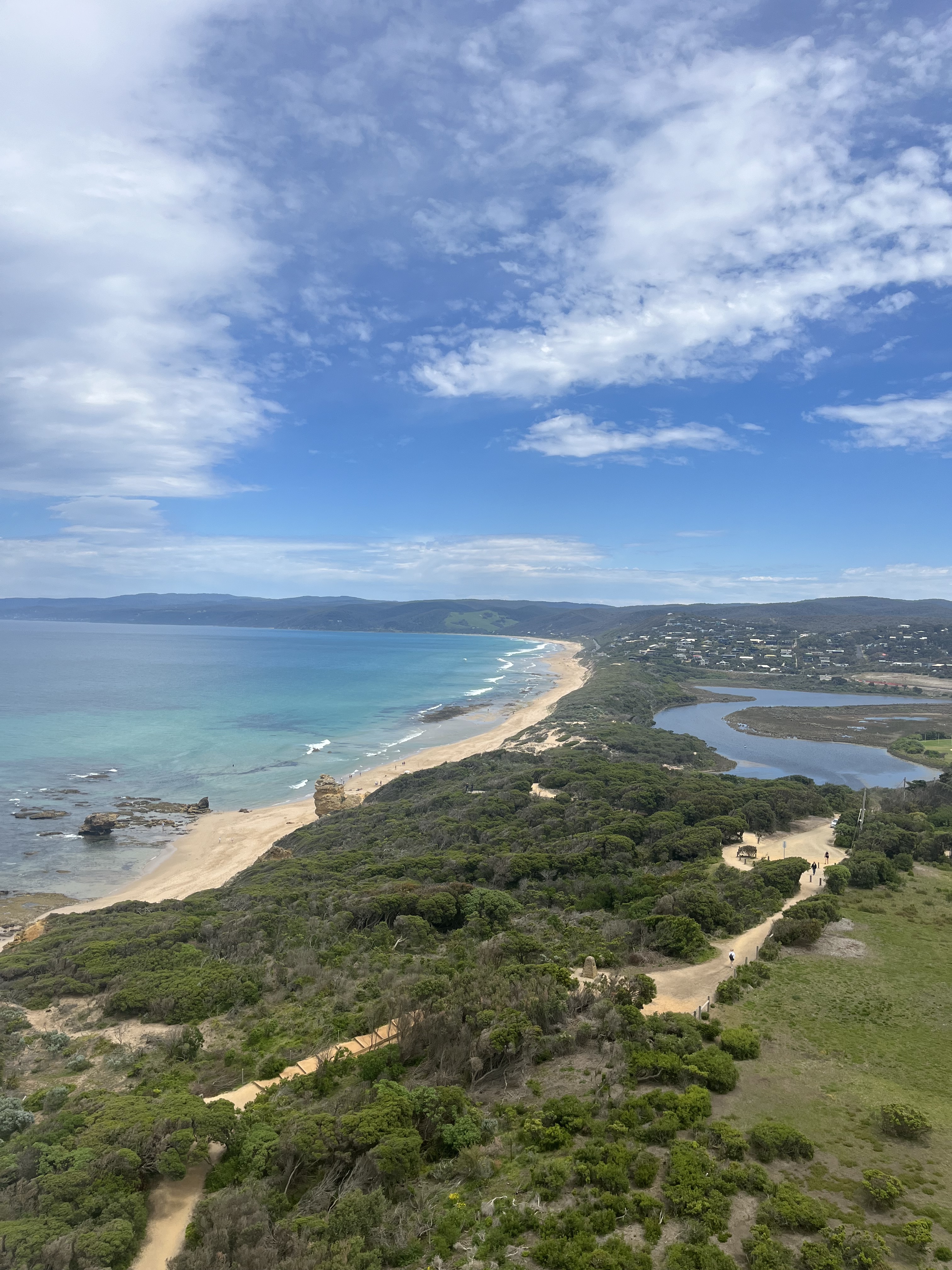
Split Point
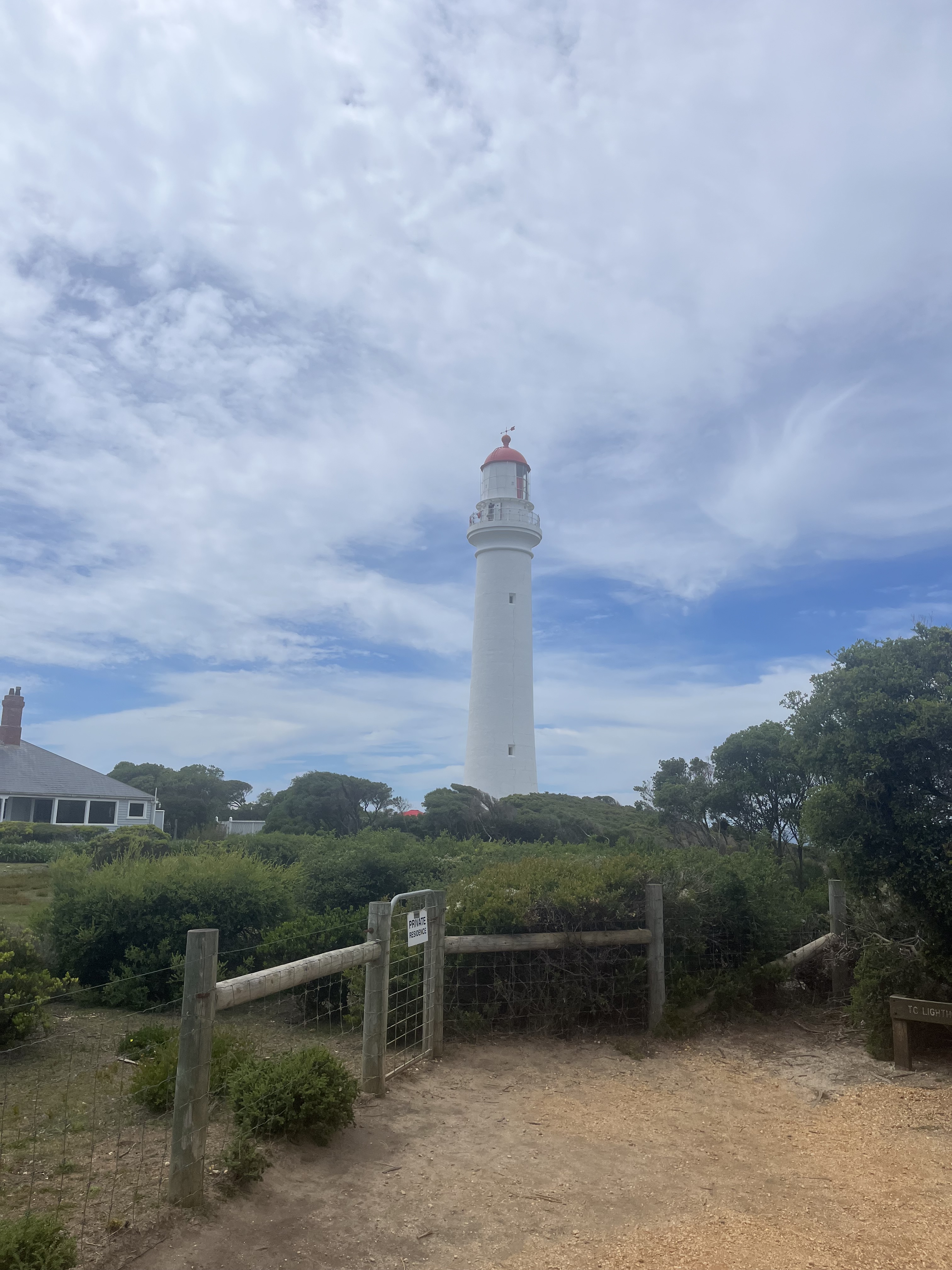
As we draw towards the end of our exploration of lighthouses, we return to Australia. If you ask most Australians what Split Point Lighthouse means to them, well if you show them a photo anyway, they’ll either start singing ‘have you ever, every felt like this, when strange things happens then you’re going Round the Twist’ or say it’s the Round the Twist lighthouse. Round the Twist was a fantastically weird ABC children’s show that aired in the 80s, 90s and early 2000s. And it was set at Split Point lighthouse – though the interiors were filmed in a studio. Of all the lighthouses on this list I’d say Split Point is the most embedded in Australian culture. But it also has an interesting history in its own right.
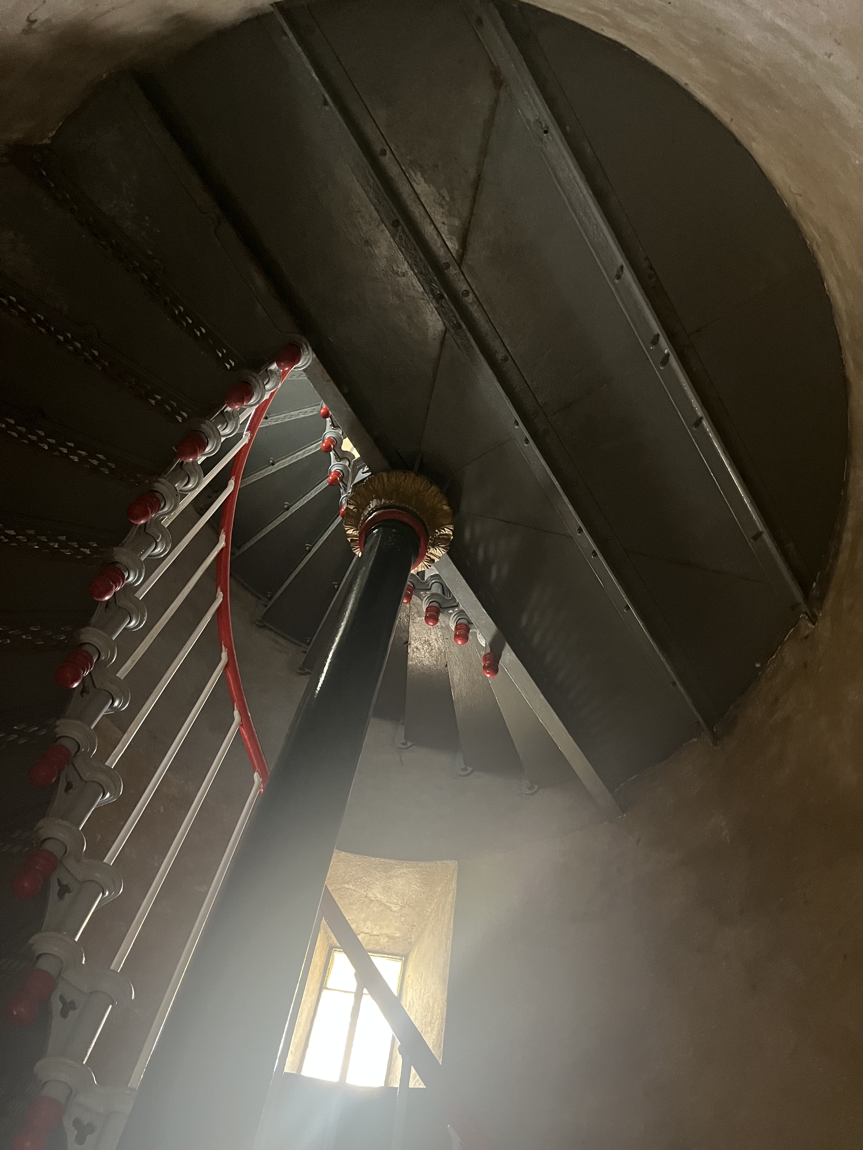
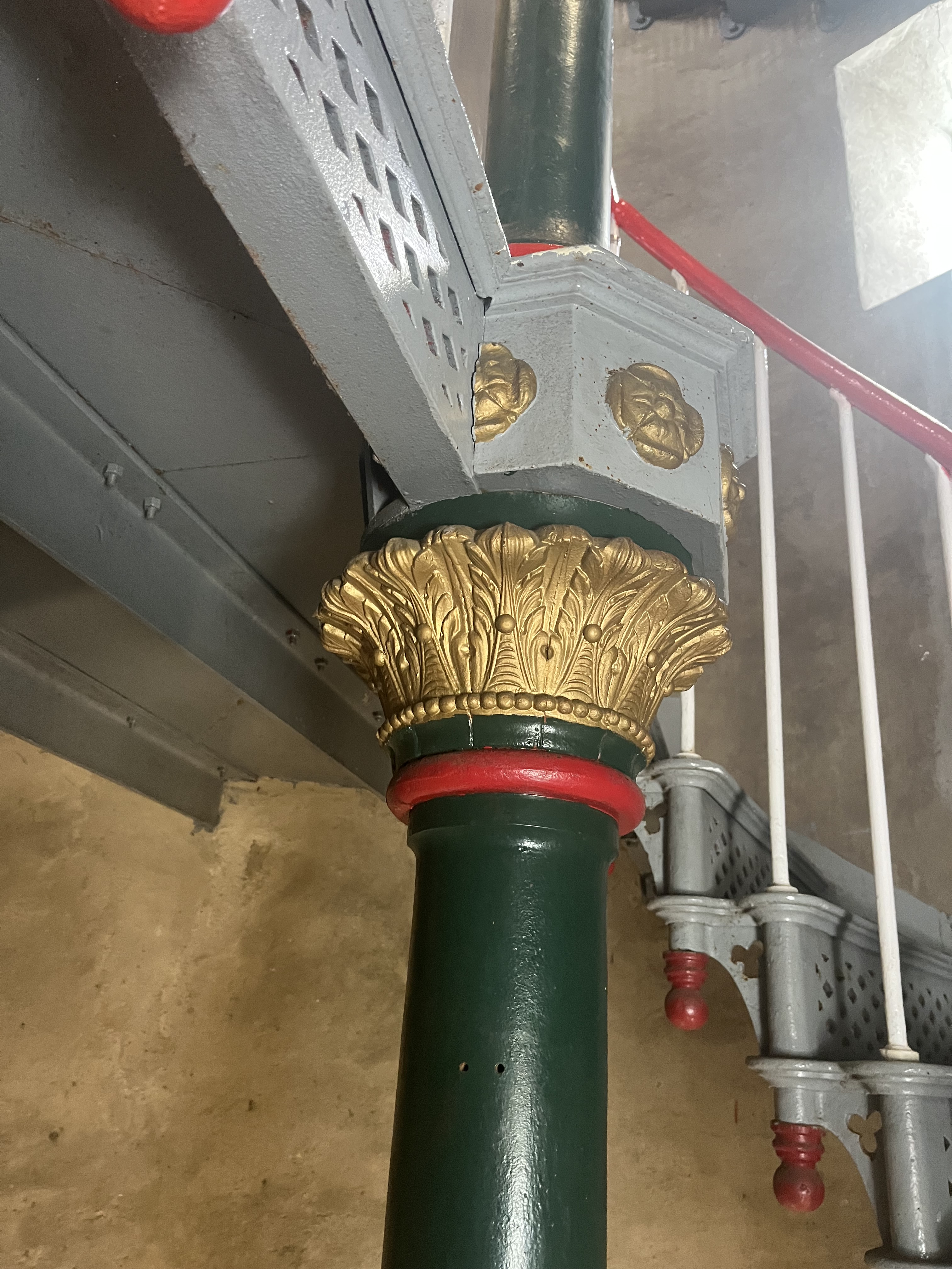
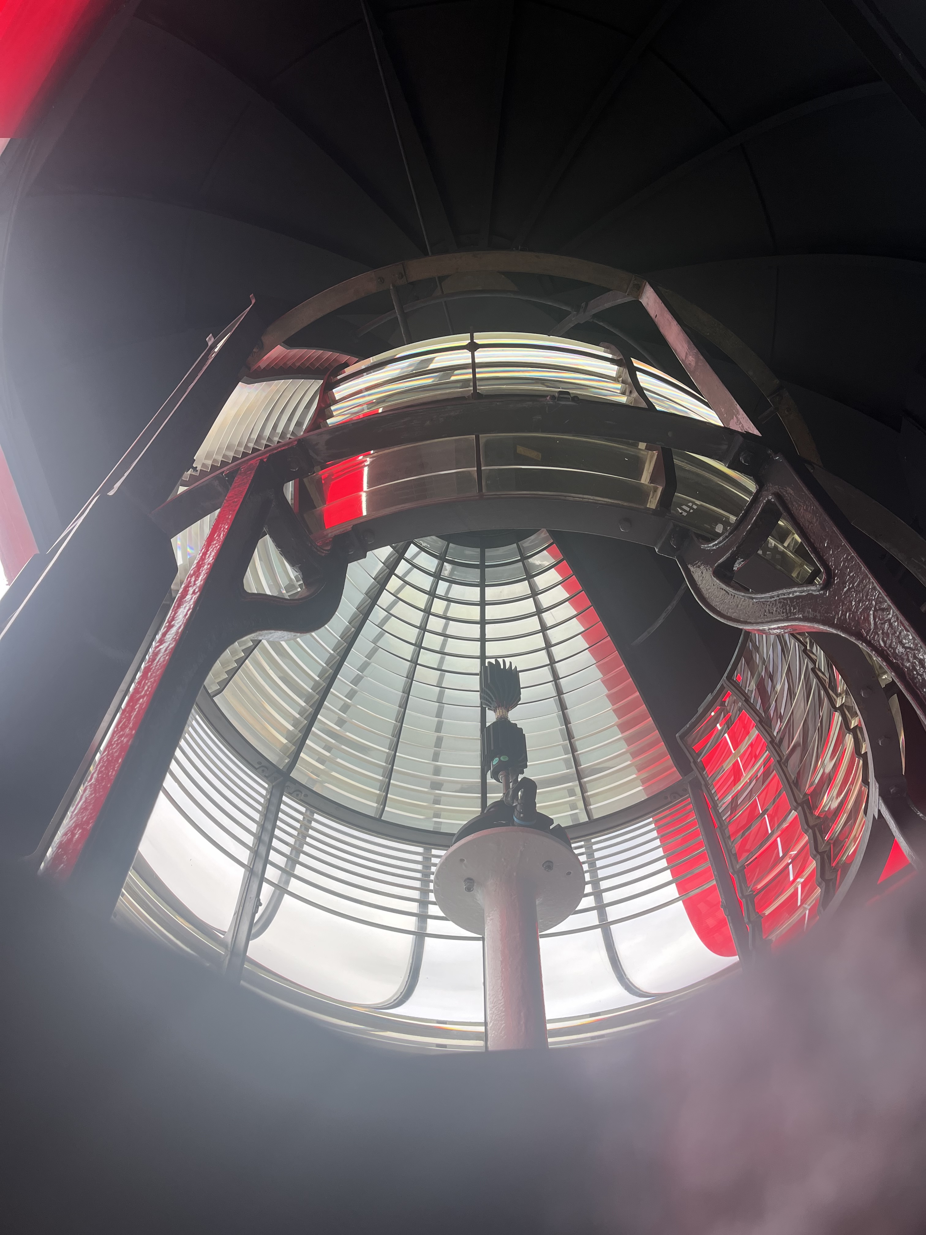
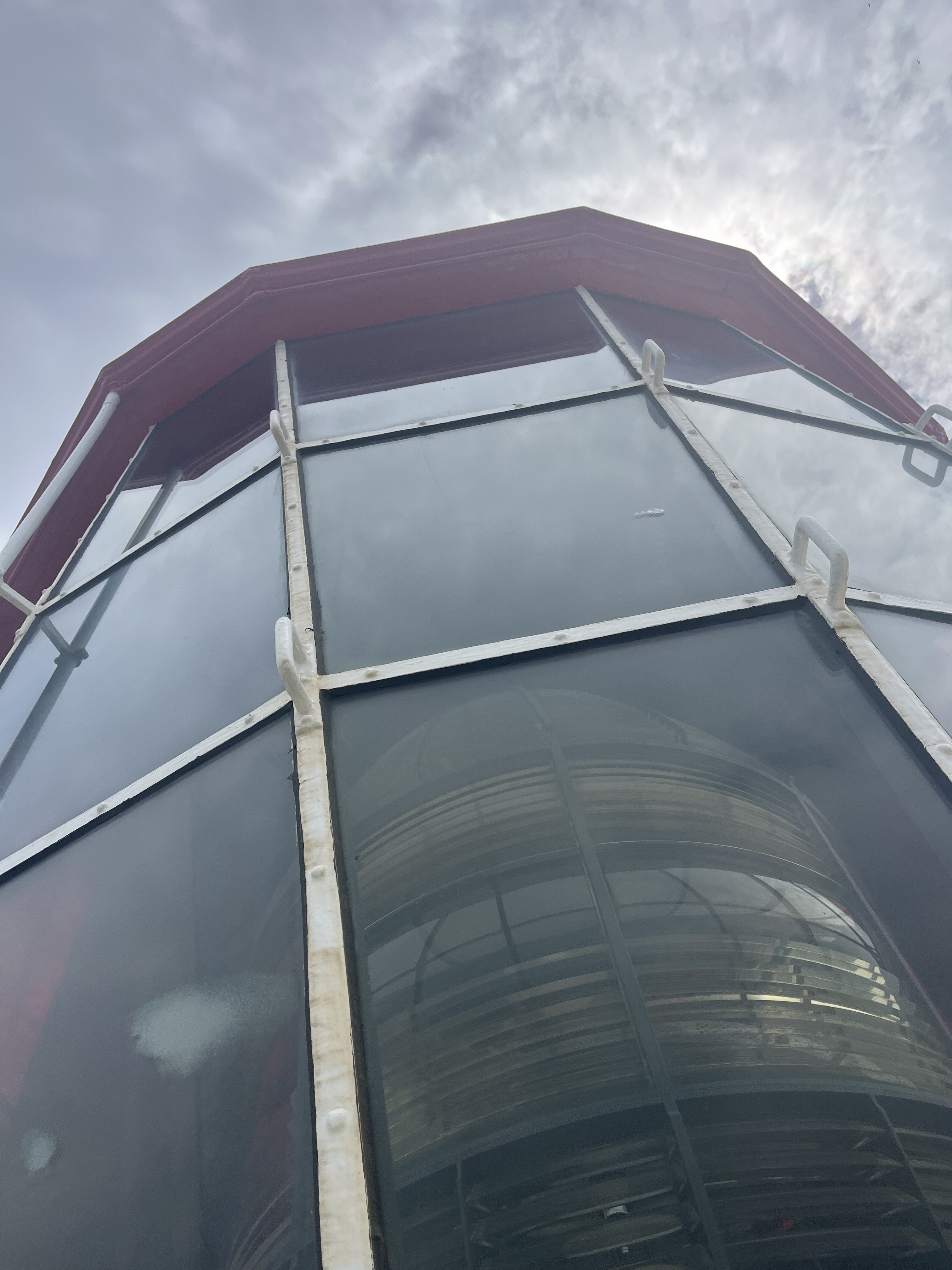
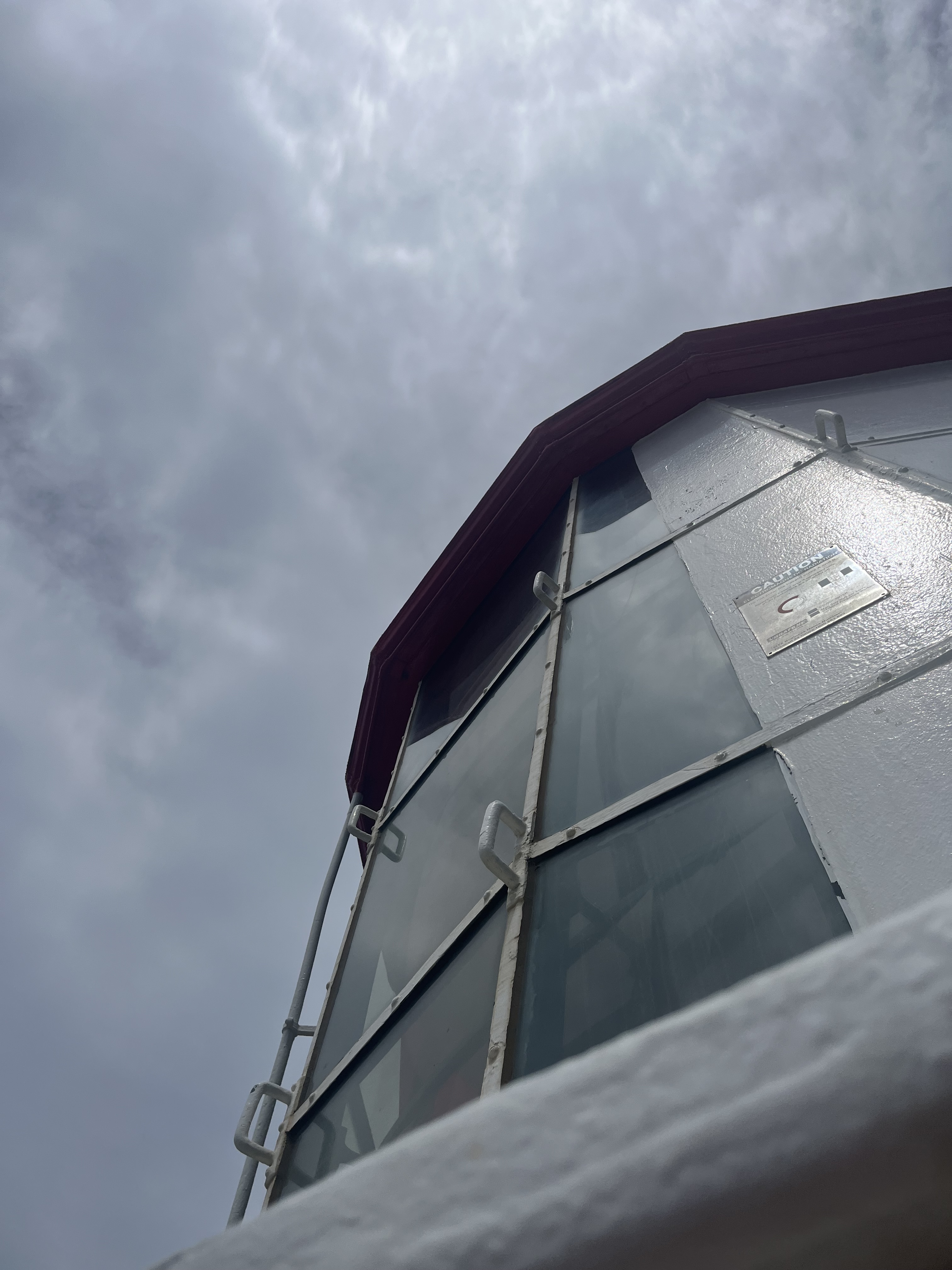
Split Point is still very much a working lighthouse- it’s a fixed light (because it’s not on an island) and the Fresnel lamp projects the small electric light 30m out into the sea. It’s automated and its signature is 4 flashes every 20 seconds. The lighthouse was built in 1891, and was first automated with acetylene gas in 1919. It stands at 34 metres and is made of concrete. It was built as a beacon for ships having passed Cape Otway and remains so today. The stair case inside is also particularly lovely.
St Kilda
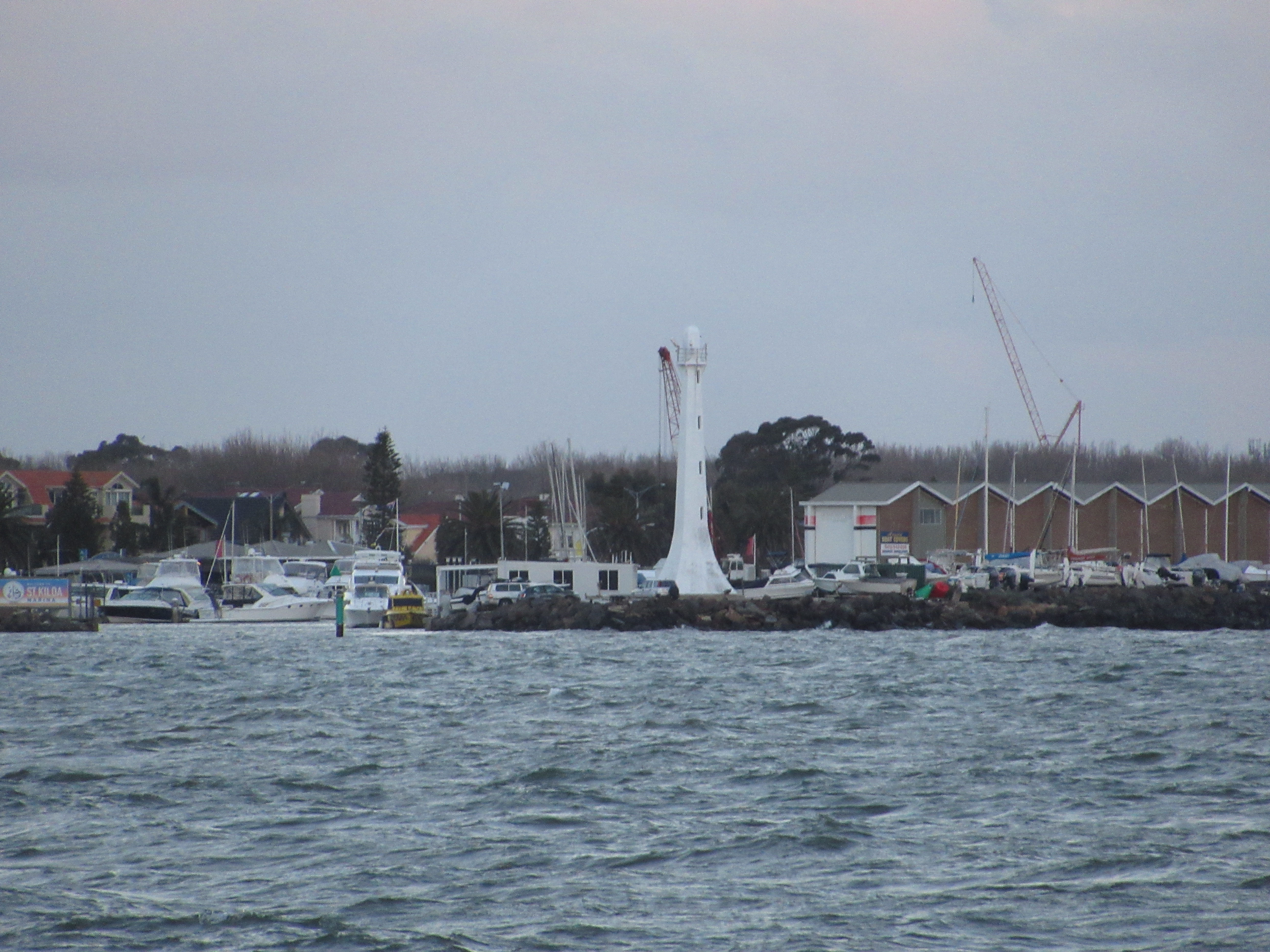
The inclusion of the St Kilda Marina’s pilot beacon could be seen at slightly controversial, as it technically actually isn’t a lighthouse. It was, however, built very deliberately in the shape of a lighthouse and as an urban light structure is still worth having a look at. St Kilda, an inner Melbourne suburb, started building the marina in 1960s, opening the first pens in 1968. As part of the construction a pilot light was needed, and the decision was made to build an 18 m fibreglass structure that resembled the traditional lighthouse form. And that’s what the St Kilda Marina’s pilot beacon became, an unofficial lighthouse. While it’s arguable if it is a lighthouse, it’s also possible that if it looks like a lighthouse and kind of acts like a lighthouse, then maybe it could be seen as a lighthouse even if it wasn’t entirely built to be one?
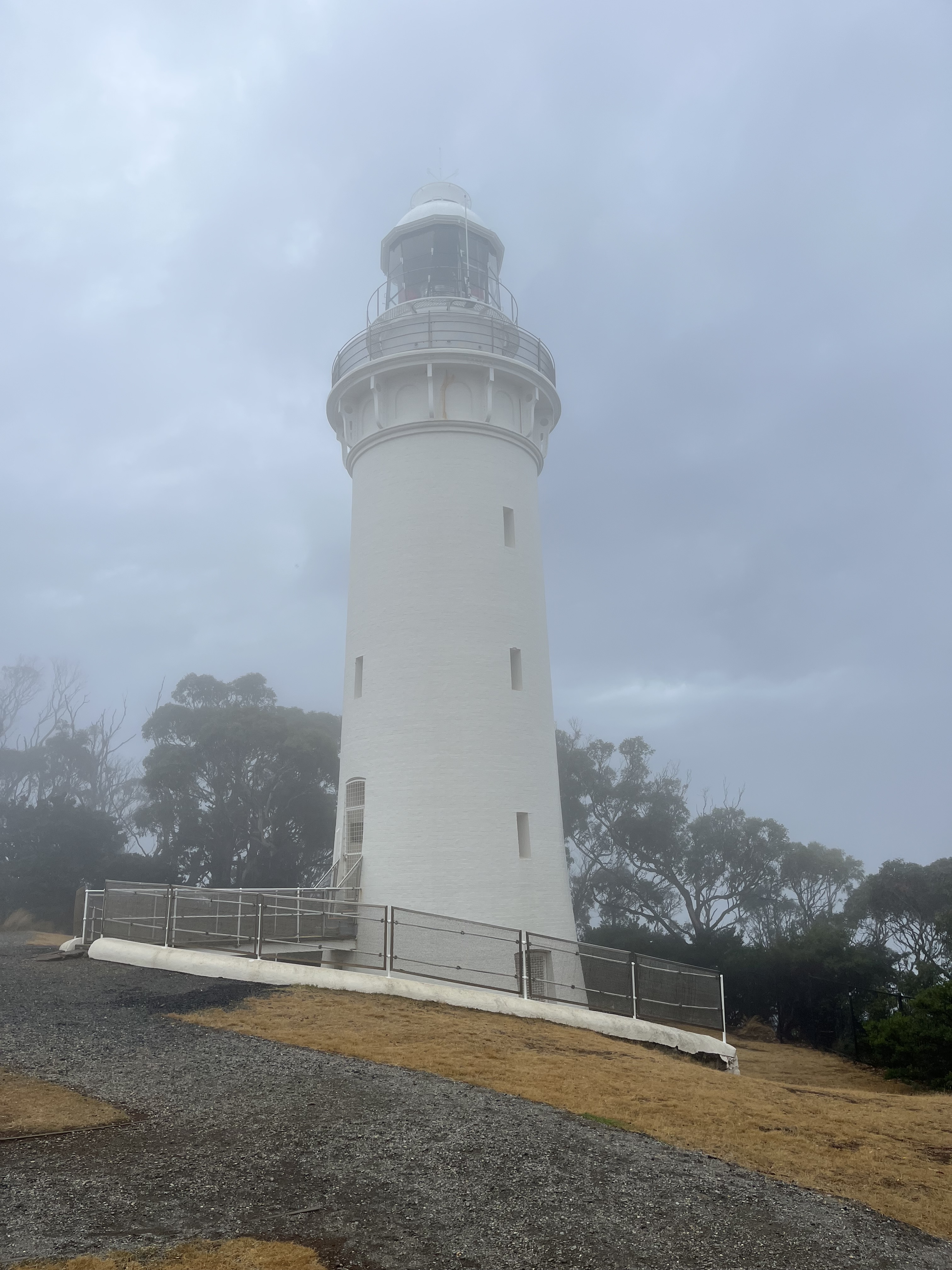
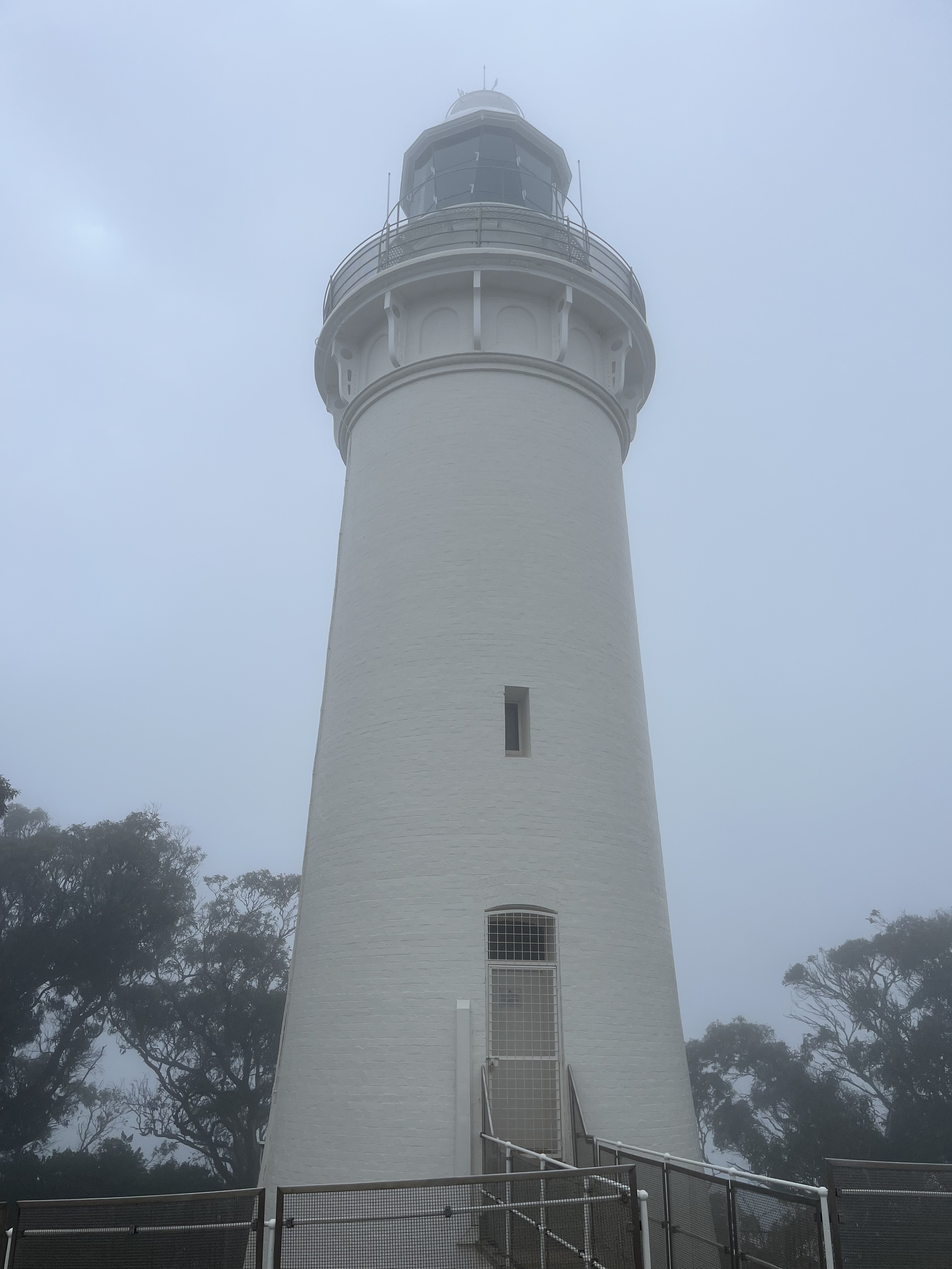
Table Cape
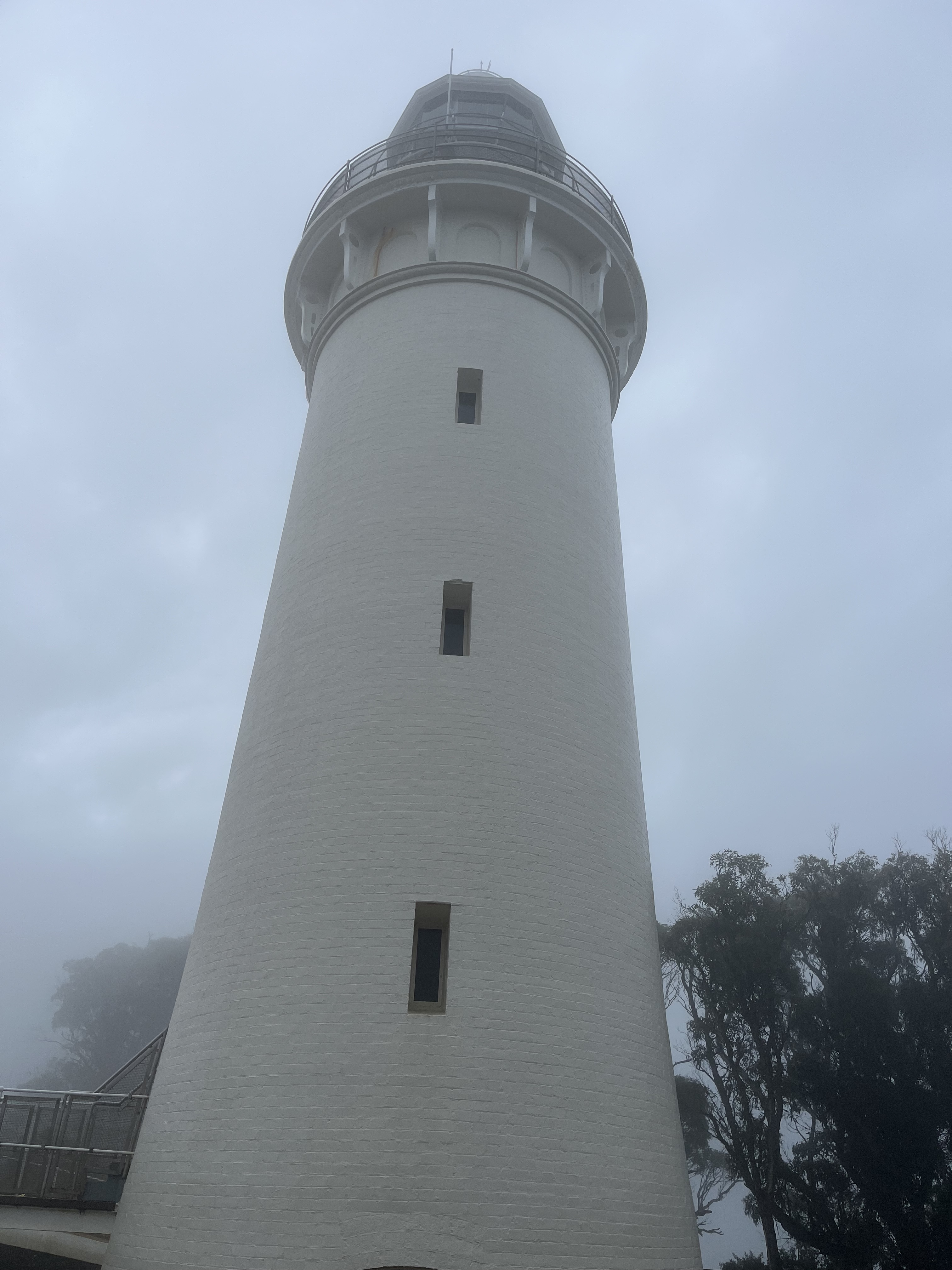
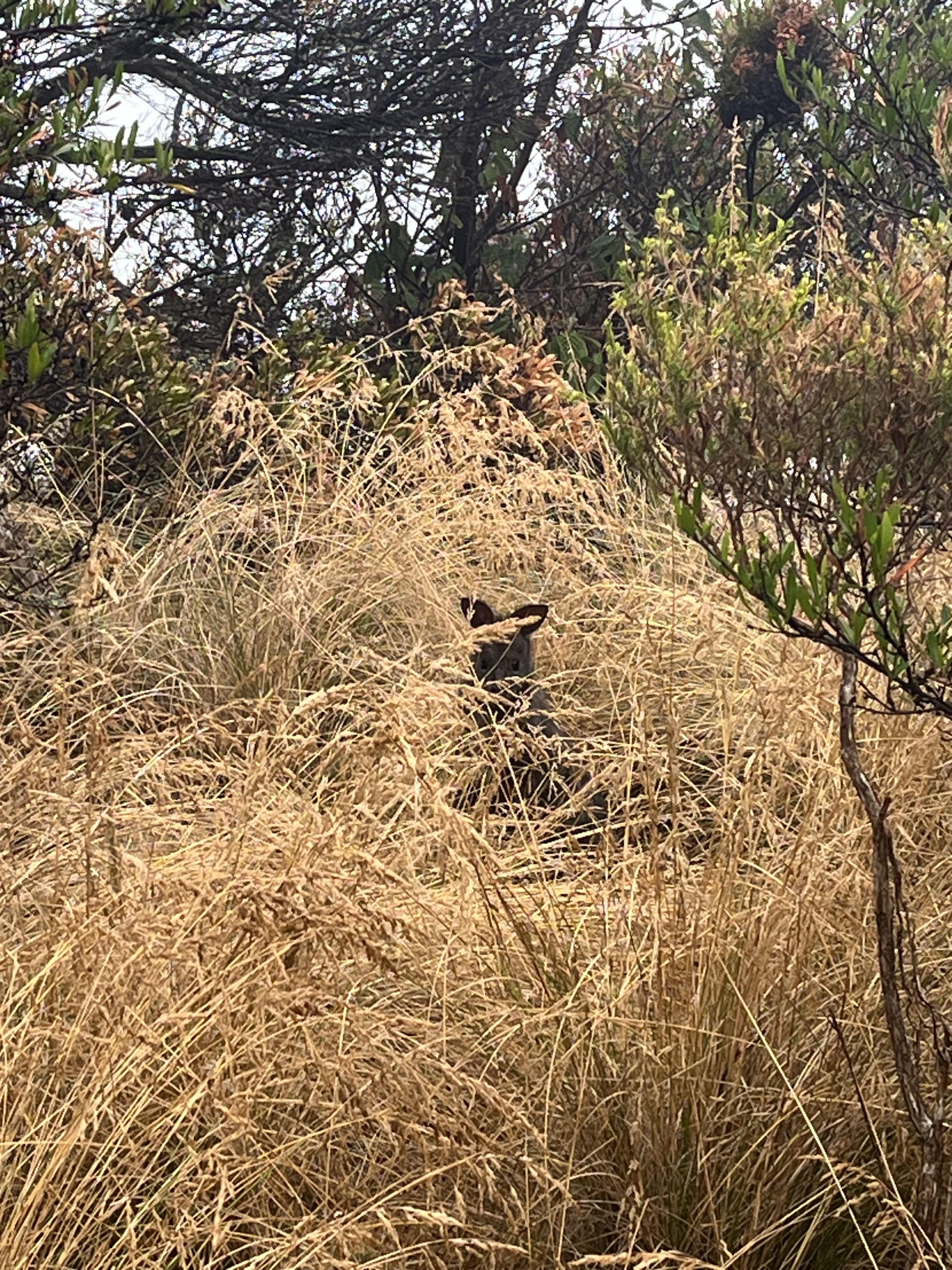
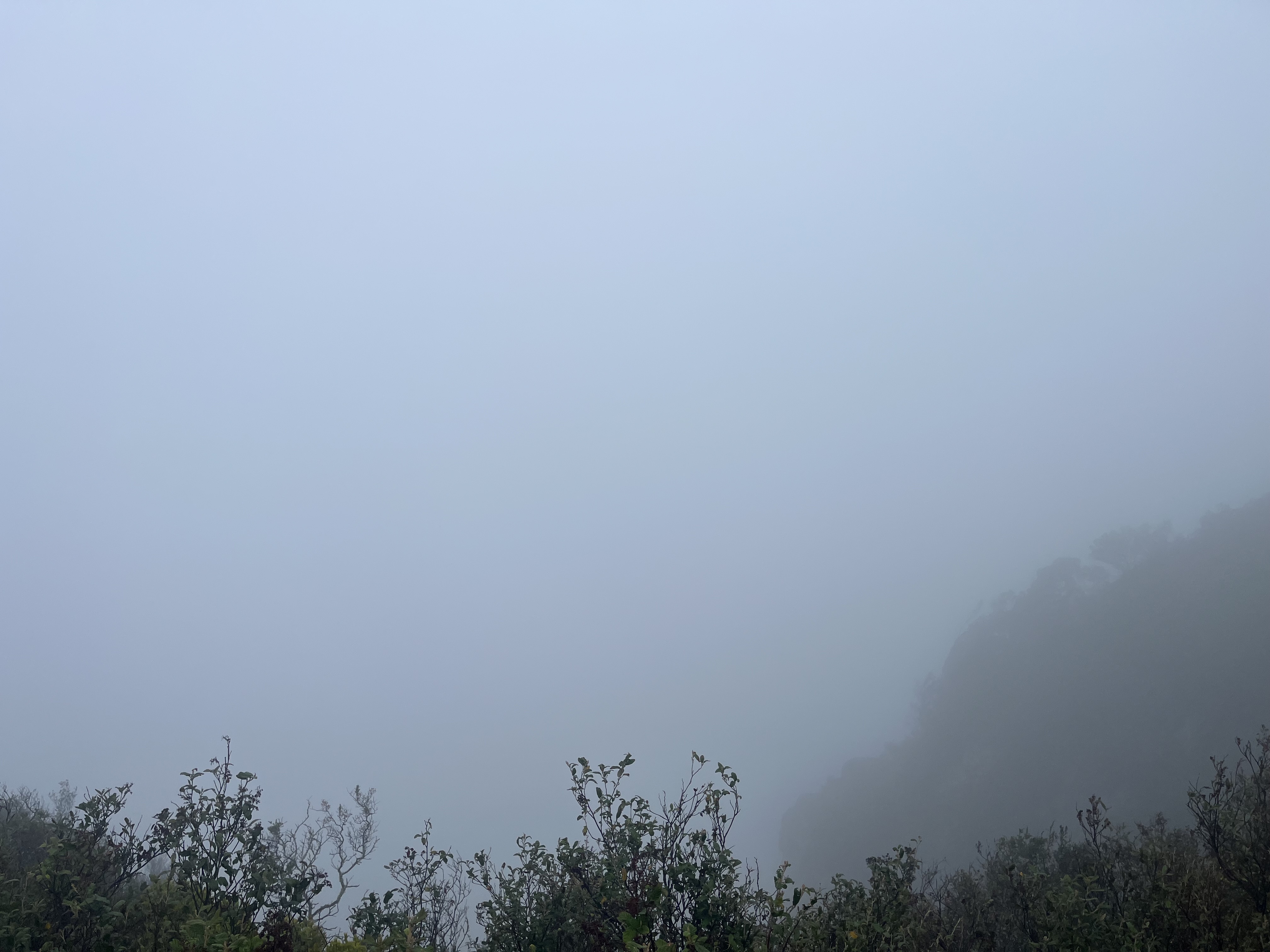
For our second last lighthouse we’re back down in Tasmania. Table Cape is on the north west coast of Tasmania, sticking out into Bass Strait. In the near by Port of Wynyard the first light in the mid 1800s was actually a local man called Mr. Fenton leaving a light on in his window to guide ships in. The Marine Board soon built two iron beacons at the mouth of the Inglis River in 1870, but when they proved insufficient Table Cape was built in 1888. The lighthouse stands at 25 metres and is 180 metres above sea level, it also has a Chance Bros. lantern that was electrified in 1979 and it was unpersonned in the 20s. Table Cape itself is a flat topped cape that juts out into the Strait, I don’t have any pictures of the piece of coast the lighthouse commands though because it was so foggy we couldn’t even see the water. Saw some lovely pademelons though.
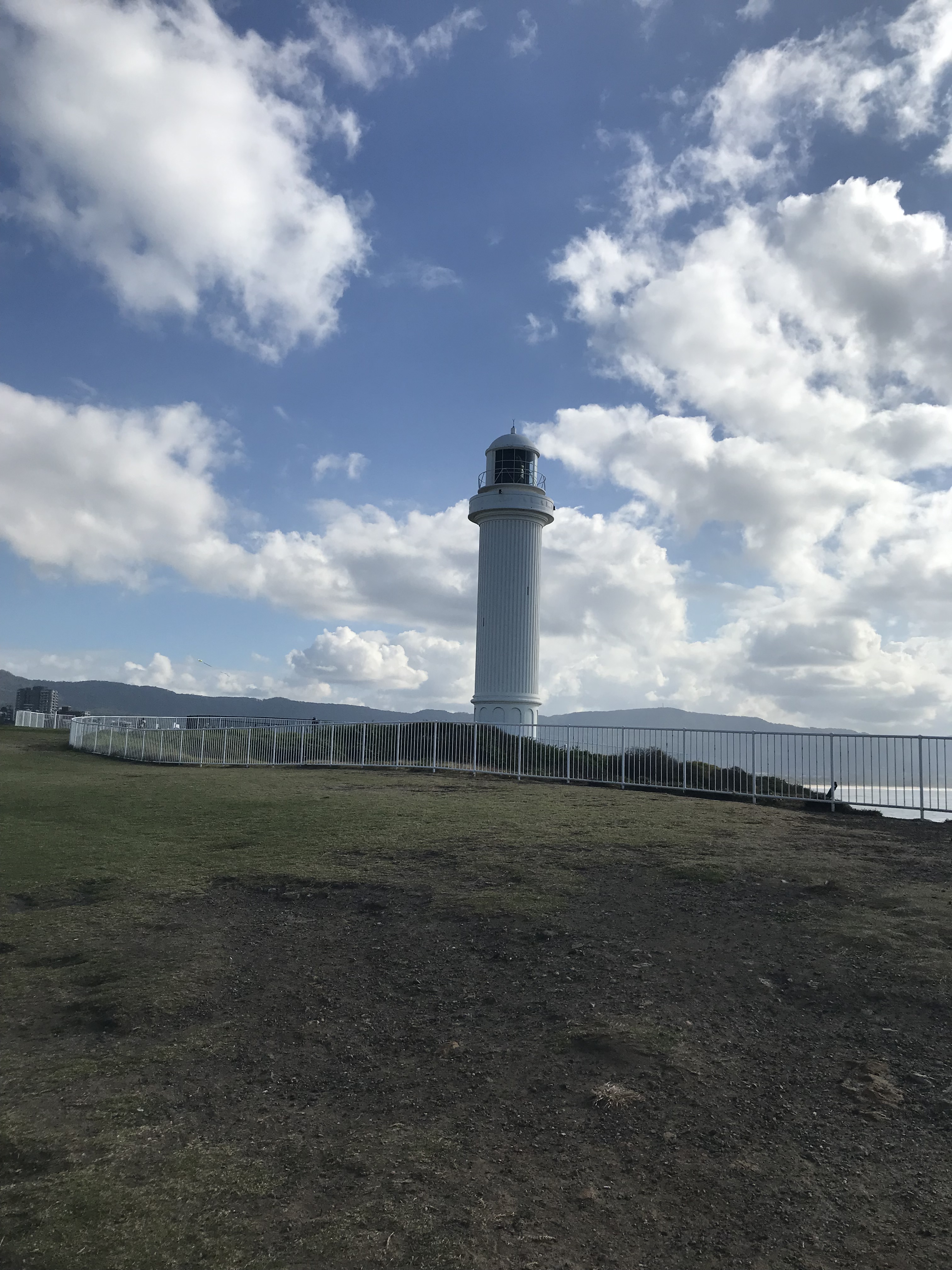
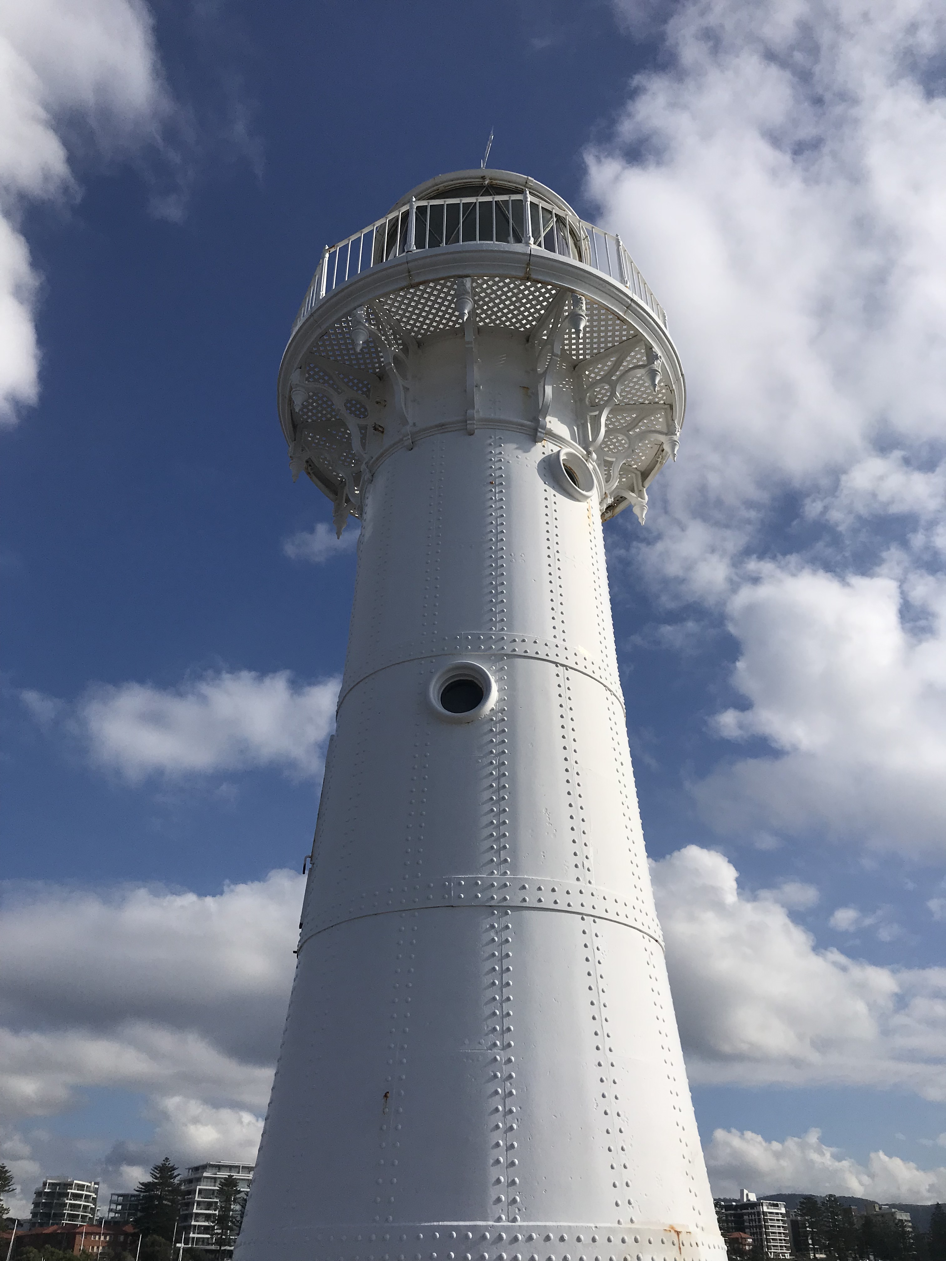
Wollongong
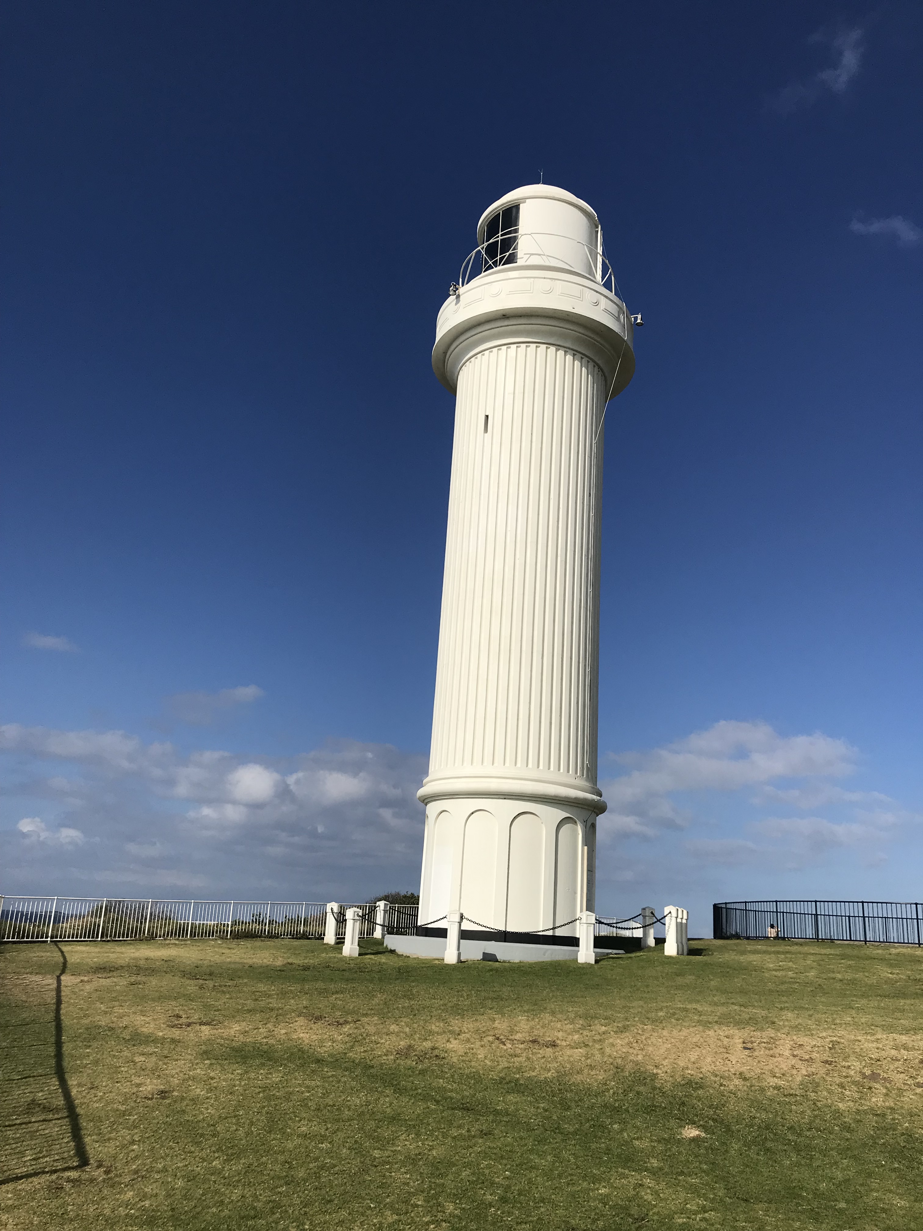
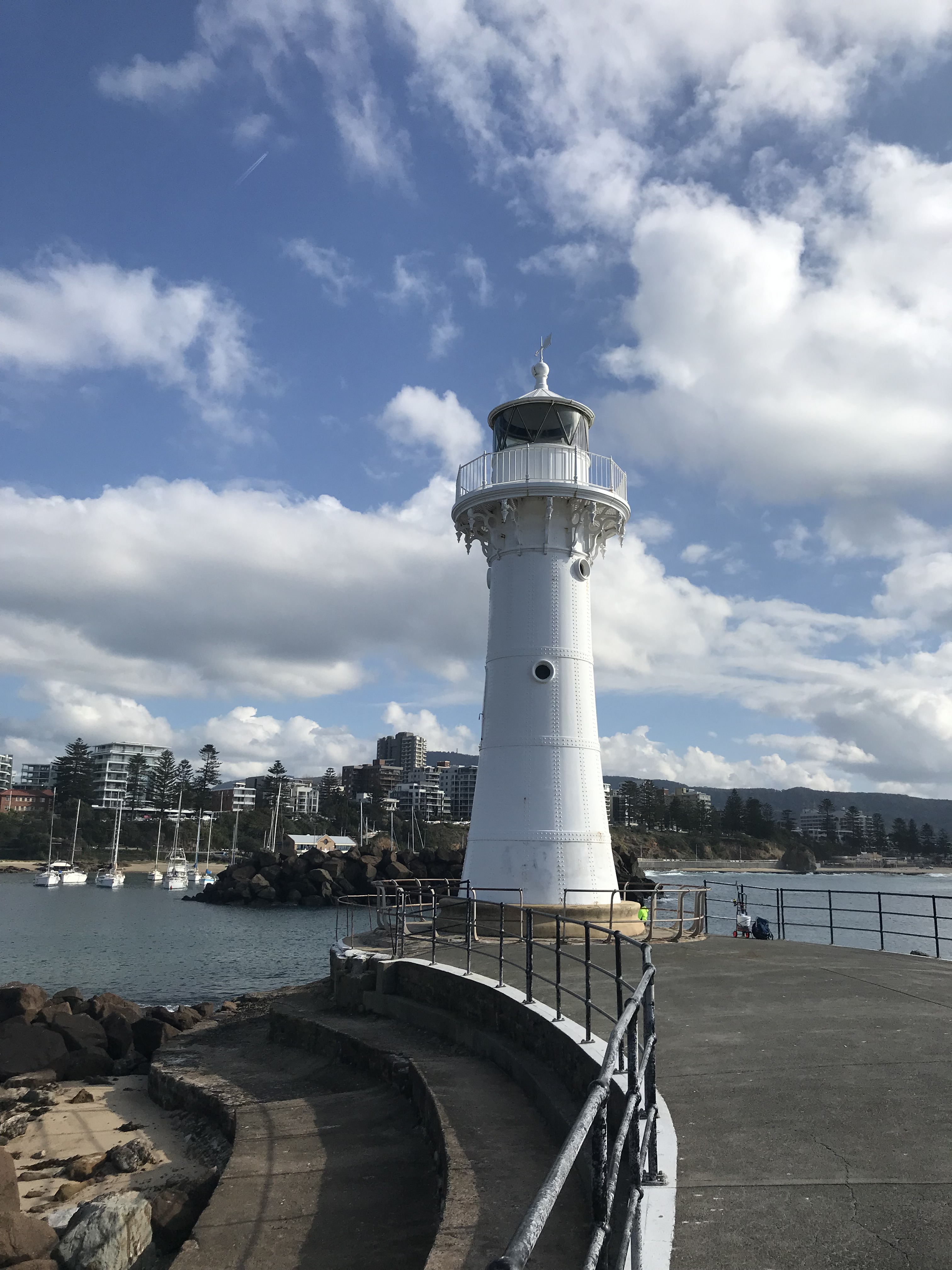
And so we have reached the end of our lighthouse journey, and fittingly we are finishing with not one, but two lighthouses. Wollonogong in New South Wales is an industrial city south of Sydney, and it boasts two lighthouses.
The first we’ll be looking at is the one on the left. It’s Flagstaff Point Lighthouse and was first lit in 1937. It was designed to be automatic and not require a lighthouse keeper, making it unique on this list. The lens dates to 1862, as it was originally supplied to Gabo Island lighthouse in Victoria (a lighthouse I really want to go and visit this year). Flagstaff Hill is built of concrete and stands at 25 m tall.
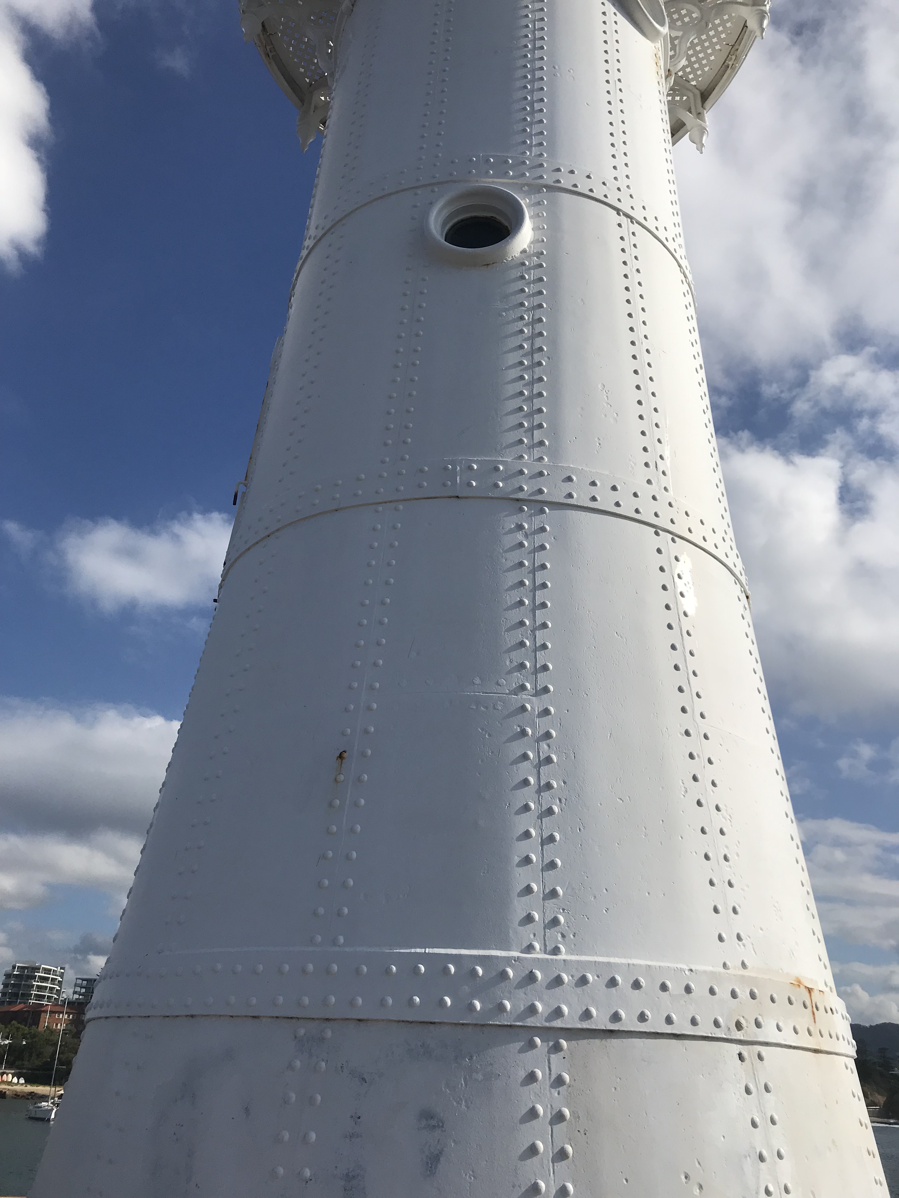
Our second, and final, lighthouse is the Wollongong Breakwater lighthouse that was built in the 1870s of wrought iron and a ferro concrete base. The light no longer shines at all and it was extinguished in 1974. Though a decorative light is still sometimes shone. The structure has proved difficult from a preservation perspective, because the wrought iron plates and the railings deteriorated significantly and it was almost demolished in the 1970s. The local community rallied behind it though and it was restored, keeping most of the original configuration including internal wooden ladders, in the late 1970s with further restoration in the early 2000s
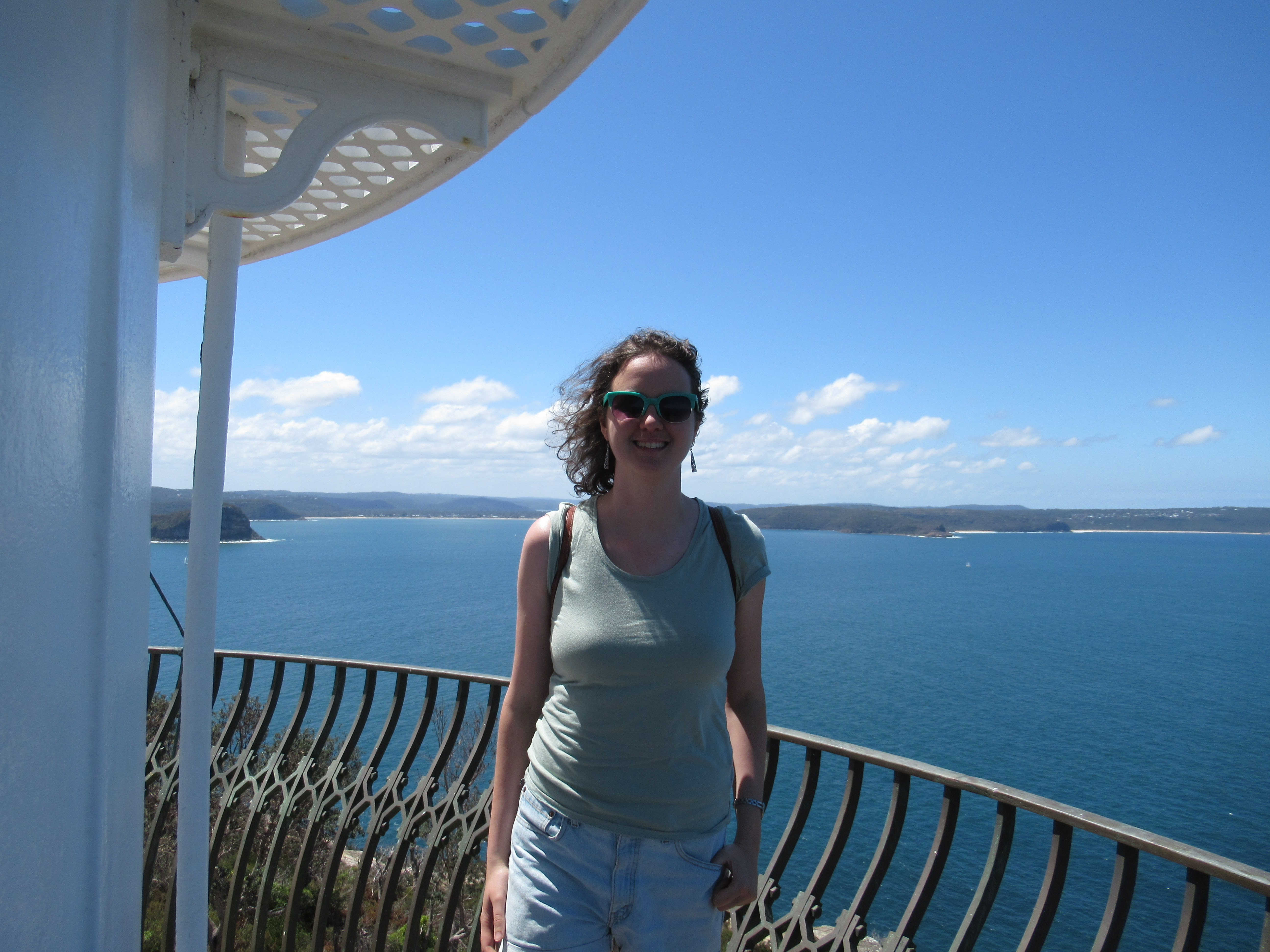
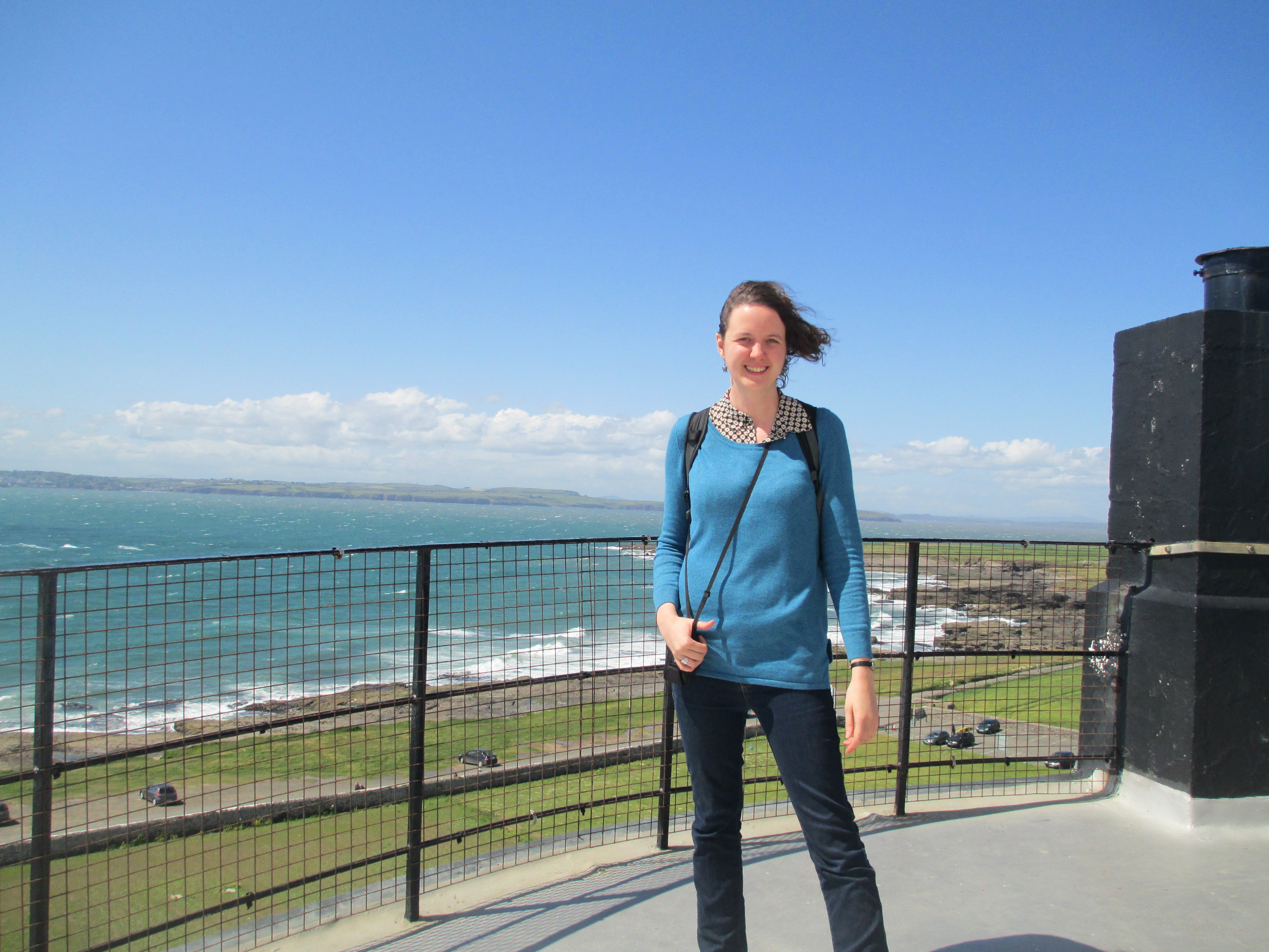
And that brings us to the end of our, somewhat eclectic, lighthouse tour. I hope you’ve found it interesting. In pulling all of this together, what I started noticing are the many commonalities about lighthouses, across countries and governments. Very similar designs have been used going right back to Hook lighthouse in the 1200s, to have a light on a tower to protect ships traversing coastlines all over the world. The colour schemes are also similar and their stories of automation and unpersonning follow the same patterns. No matter how you look at it, lighthouses remain a vital part of our marine safety infrastructure and they are still beautiful structures on stunning pieces of coast. So if nothing else I hope you have enjoyed the pictures. This has been an interesting one to write, because it’s crossed a fair amount of time for me, as you’ll see from the photos of me cropping up a bit. The earliest pictures are one Port Fairy photo and all the Kangaroo Island images. They’re all from 2006 when I was 17, which just goes to show just how long I’ve been fascinated with lighthouses….
References :
Site visits over a variety of years.
All the contemporary photos are mine
Barrenjoey
https://historicalragbag.com/2017/11/19/barrenjoey-lighthouse/
Cape Bruny
https://www.capebrunylighthouse.com/
https://parks.tas.gov.au/explore-our-parks/south-bruny-national-park/cape-bruny-lighthouse
Cape Borda
https://www.environment.sa.gov.au/goodliving/posts/2020/10/kangaroo-island-lighthouses
Cape Du Couedic
https://lighthouses.org.au/sa/cape-du-couedic-lighthouse/
https://www.environment.sa.gov.au/goodliving/posts/2020/10/kangaroo-island-lighthouses
Cape Jaffa
Image : https://collections.slsa.sa.gov.au/resource/B+11009
https://www.capejaffalighthouse.org.au/cape-jaffa-lighthouse-history
Cape Leeuwin
https://lighthouses.org.au/wa/cape-leeuwin-lighthouse/
Also notes from lighthouse tour in 2023.
Cape Naturaliste
Also notes from lighthouse tour in 2023.
Cape Northumberland
https://lighthouses.org.au/sa/cape-northumberland-lighthouse/
Cape Reinga
Signs at site visit in 2024
Cape Schanck
https://historicalragbag.com/2017/07/18/a-tale-of-two-lighthouses/
Cape Tourville
Signs at site visit in 2019
Cape Willoughby
https://lighthouses.org.au/sa/cape-willoughby-lighthouse/
https://www.environment.sa.gov.au/goodliving/posts/2020/10/kangaroo-island-lighthouses
Dyrhólaey Lighthouse
https://ust.is/english/visiting-iceland/protected-areas/south/dyrholaey/culture-and-history/
Fort Denison
https://historicalragbag.com/2019/07/28/fort-denison/
https://lighthouses.org.au/nsw/fort-denison-lighthouse/
Gantheaume Point
https://lighthouses.org.au/wa/gantheaume-point-lighthouse/
Hook Lighthouse
https://historicalragbag.com/2015/08/16/hook-lighthouse/
Kálfshamarsvík lighthouse
https://chanceht.org/lighthouse/kalfshamarsvik-lighthouse/
Longships lighthouse
https://www.trinityhouse.co.uk/lighthouses-and-lightvessels/bishop-rock-lighthouse
North Head
Bowen Historical Society display
https://lighthouses.org.au/qld/north-head-lighthouse/
Point Lonsdale
Signs at site visit 2023
https://lighthouses.org.au/vic/point-lonsdale-lighthouse/
Port Fairy
https://historicalragbag.com/2017/07/18/a-tale-of-two-lighthouses/
Portland
Sign on site visit in 2006
https://lighthouses.org.au/vic/whalers-bluff-lighthouse/
Rottnest
Signs and tour on site visit in 2023
https://lighthouses.org.au/wa/bathurst-point-lighthouse/
Skardsviti Lighthouse
https://meanderingwild.com/skardsviti-lighthouse-iceland/
Skellig Michael
https://historicalragbag.com/2015/06/14/skellig-michael/
https://skelligislands.com/lighthouses-on-skellig-michael/
Split Point
signs and tour site visit 2025
St Kilda
https://www.portphillip.vic.gov.au/media/vgiofq3k/built-heritage-st-kilda-marina-heritage-report.pdf
Table Cape
https://lighthouses.org.au/tas/table-cape-lighthouse/
Wollongong
Signs on site visit in 2018
https://lighthouses.org.au/nsw/wollongong-harbour-lighthouse/


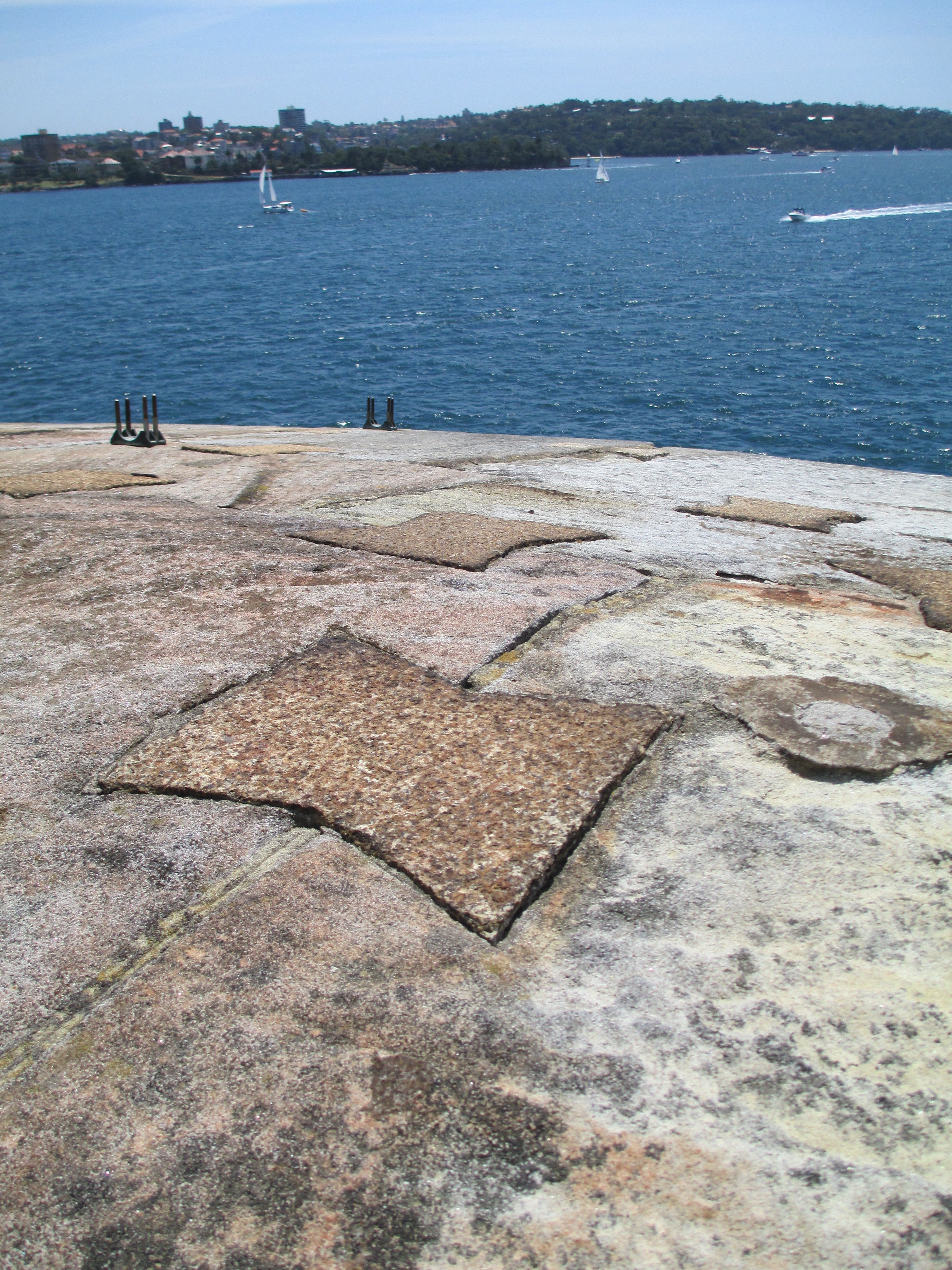
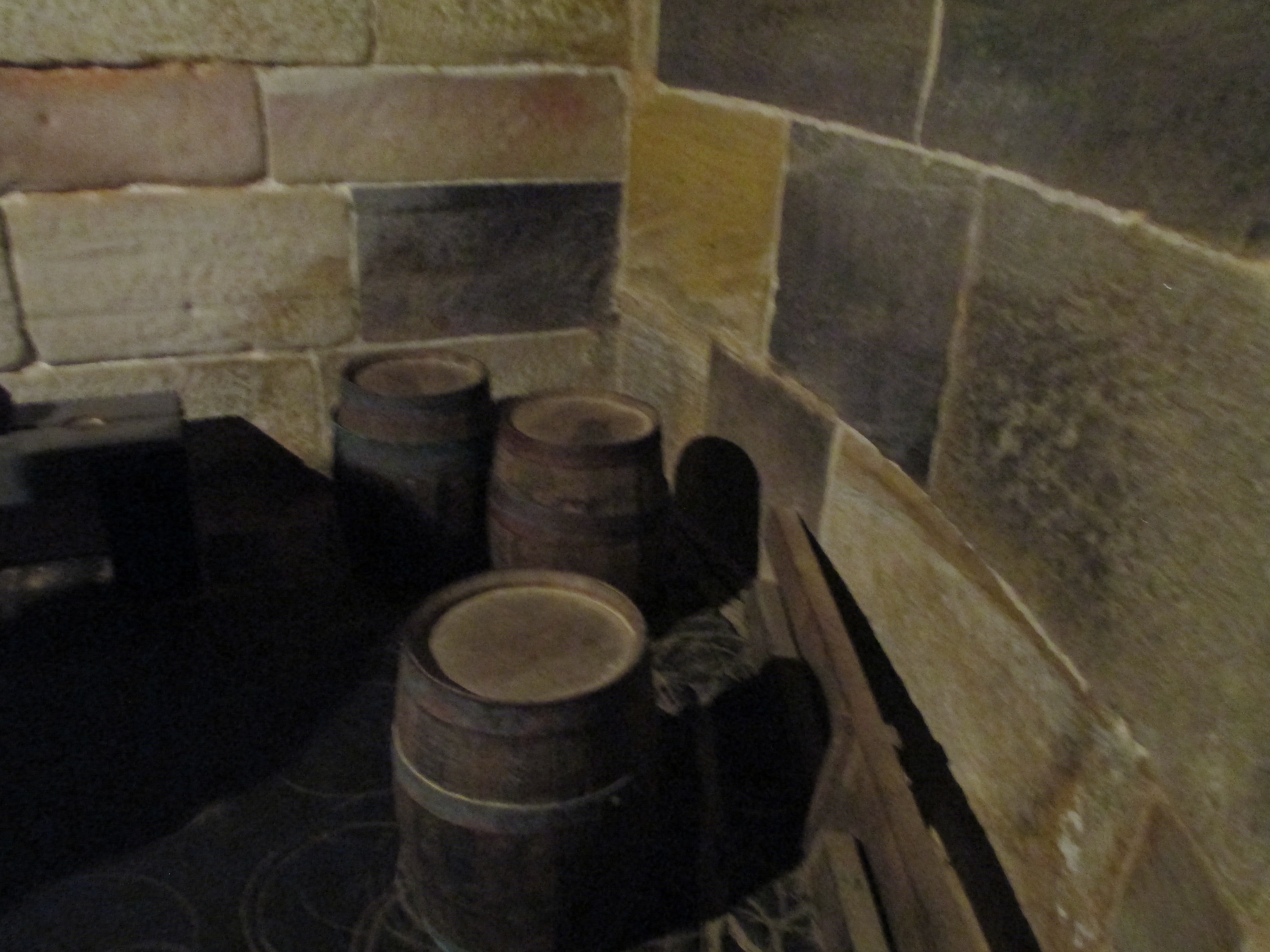
 The three cannons inside the upstairs room remain because it is impossible remove them.
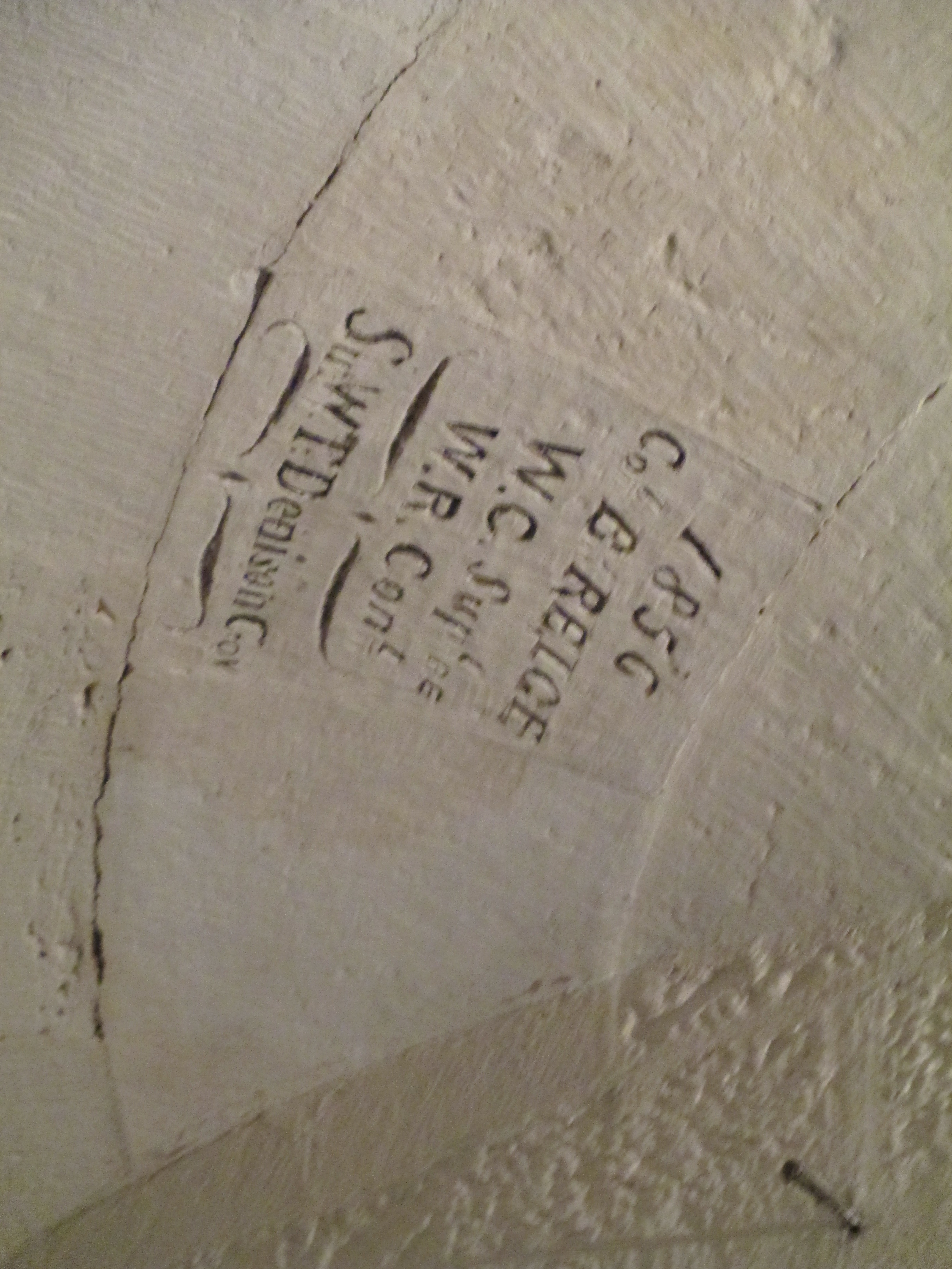
 They were winched into place and then the roof was finished over them. As you can see from the keystone it was completed in 1857.

 .
.


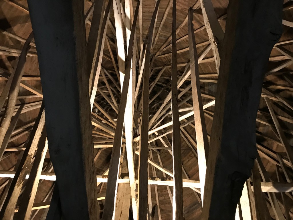
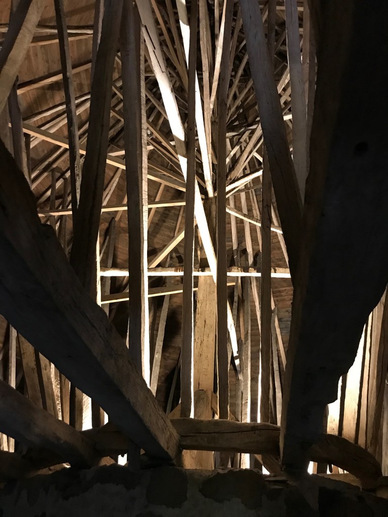


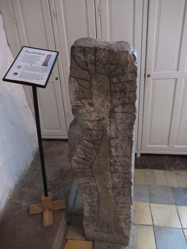


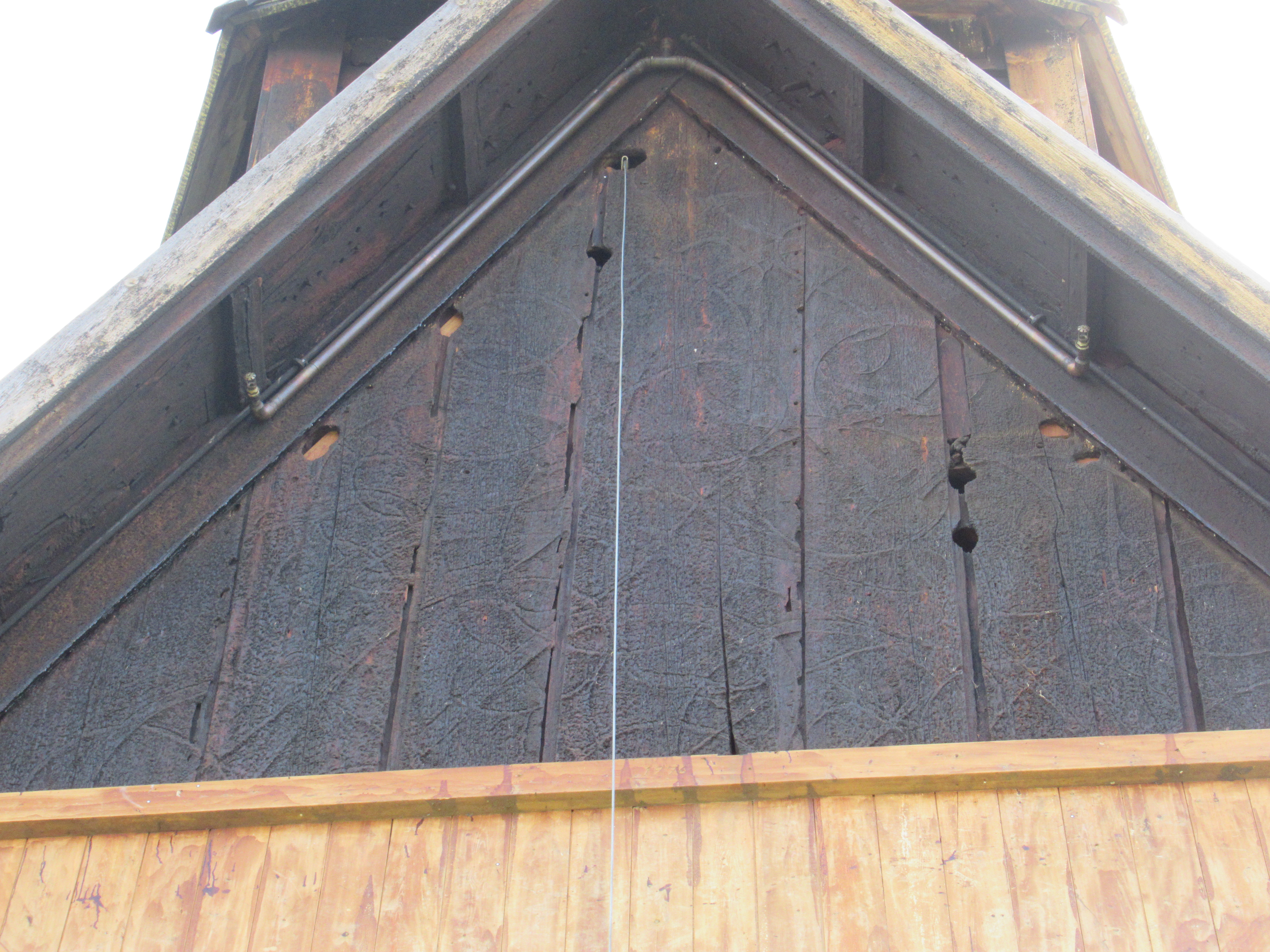
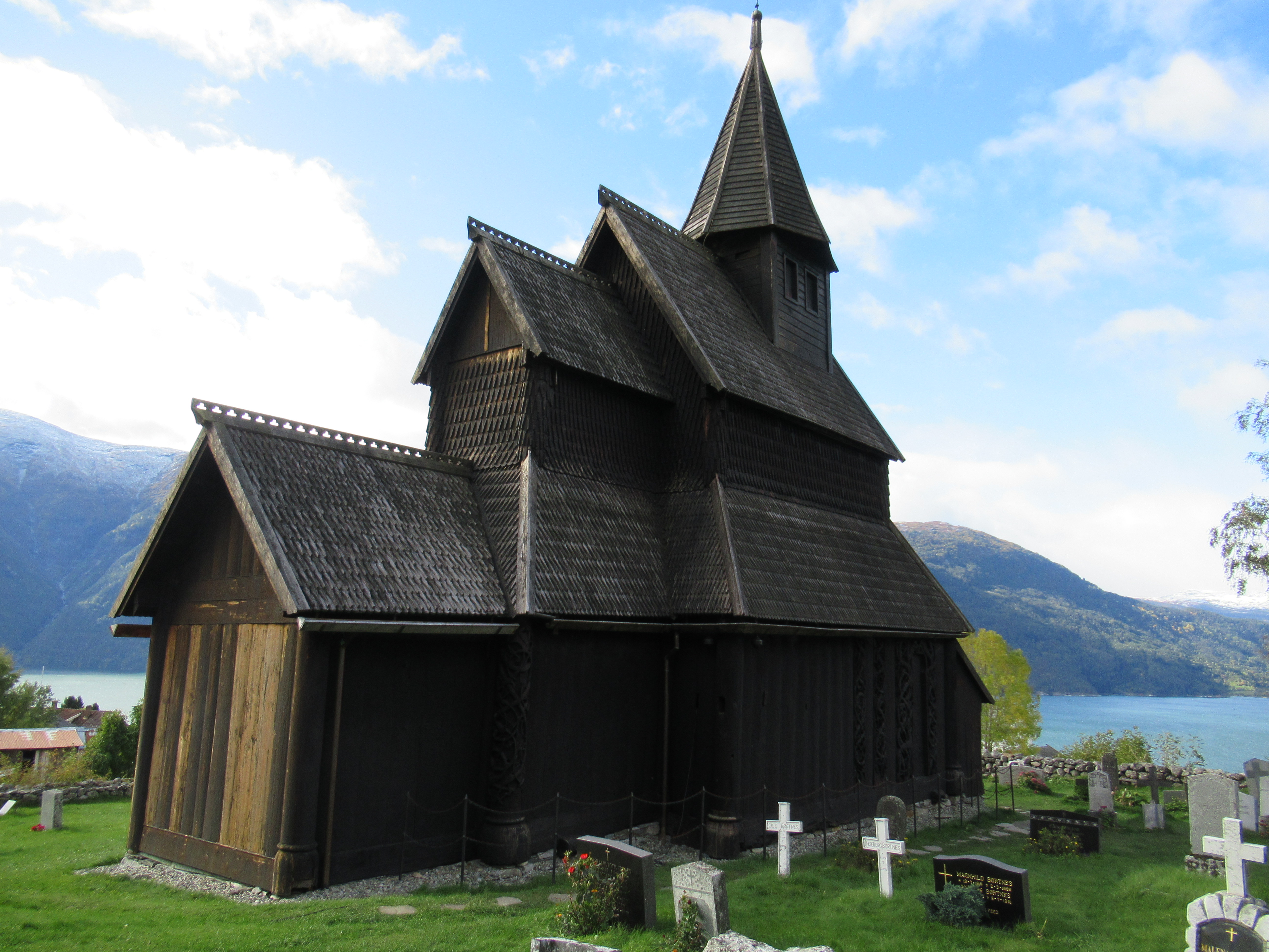
 It is, however, its completeness as a 12th century wooden structure inside and out, and especially the carvings, which make it truly remarkable.
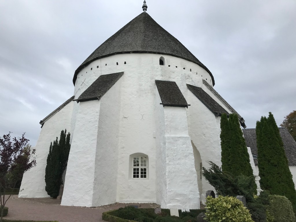
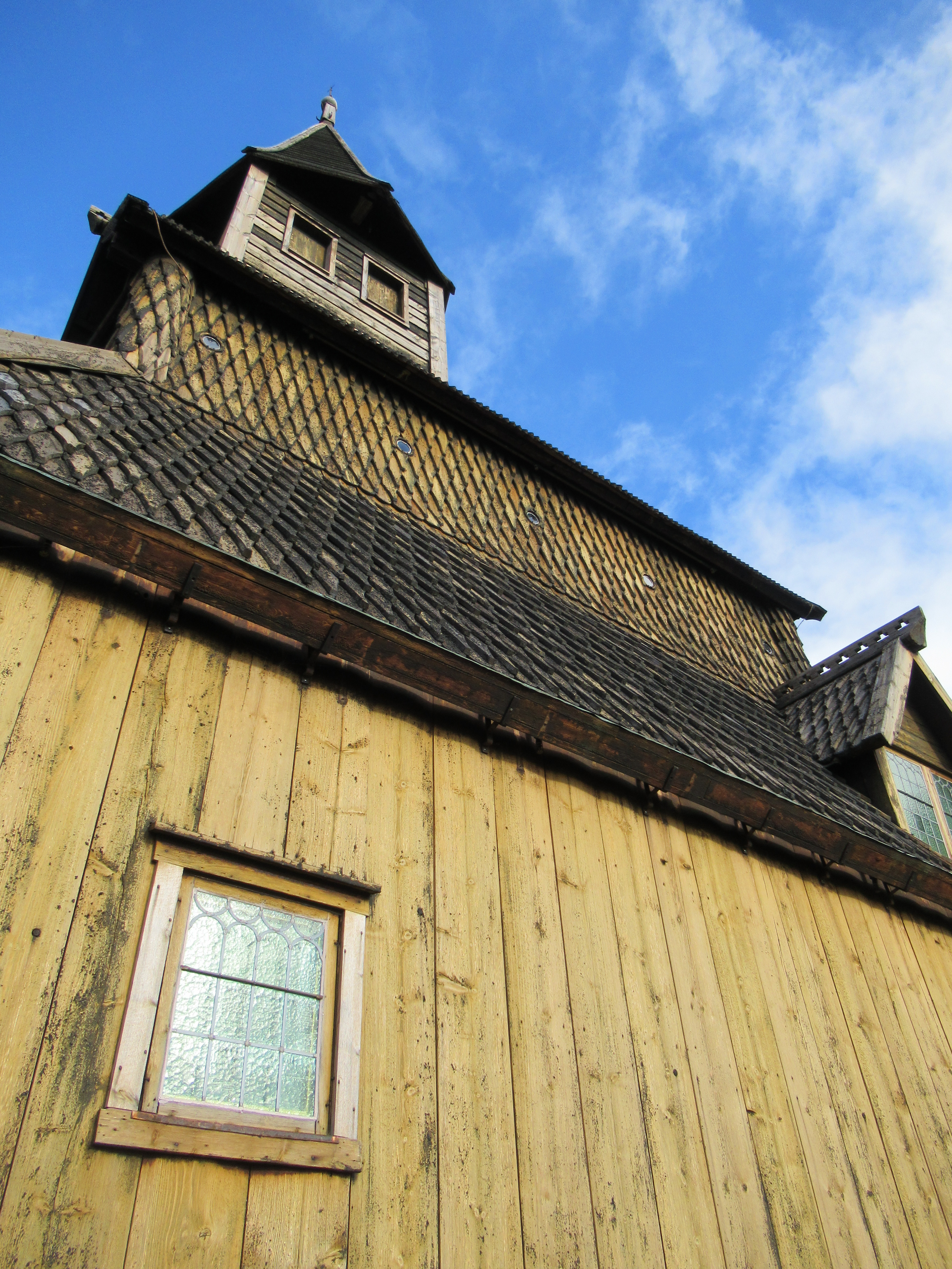
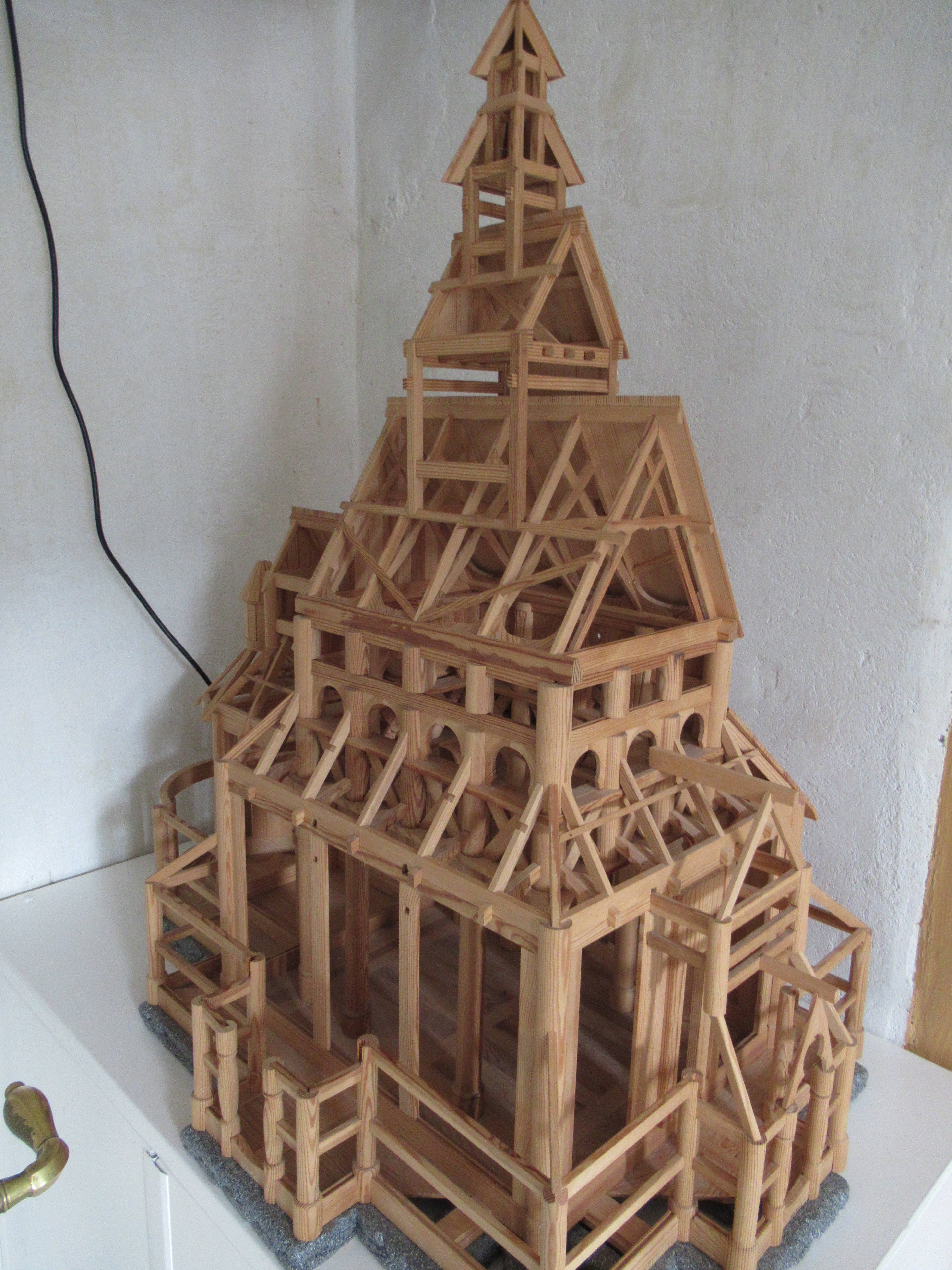 There were once over 1000 stave churches in Norway, but now only 28 remain. Most were built between 1130 and 1350 though a few are later. The black death affected the construction of new buildings after the mid 14th century. The reason they survived, even though they are wooden, is because the wood is coated regularly in pitch to protect it from the weather (this is still done at Urnes). In the case of Urnes it has a stone foundation, which stops it rotting from the ground up. The previous church on the site was a post hole church, the holes have been found in archaeological investigations.

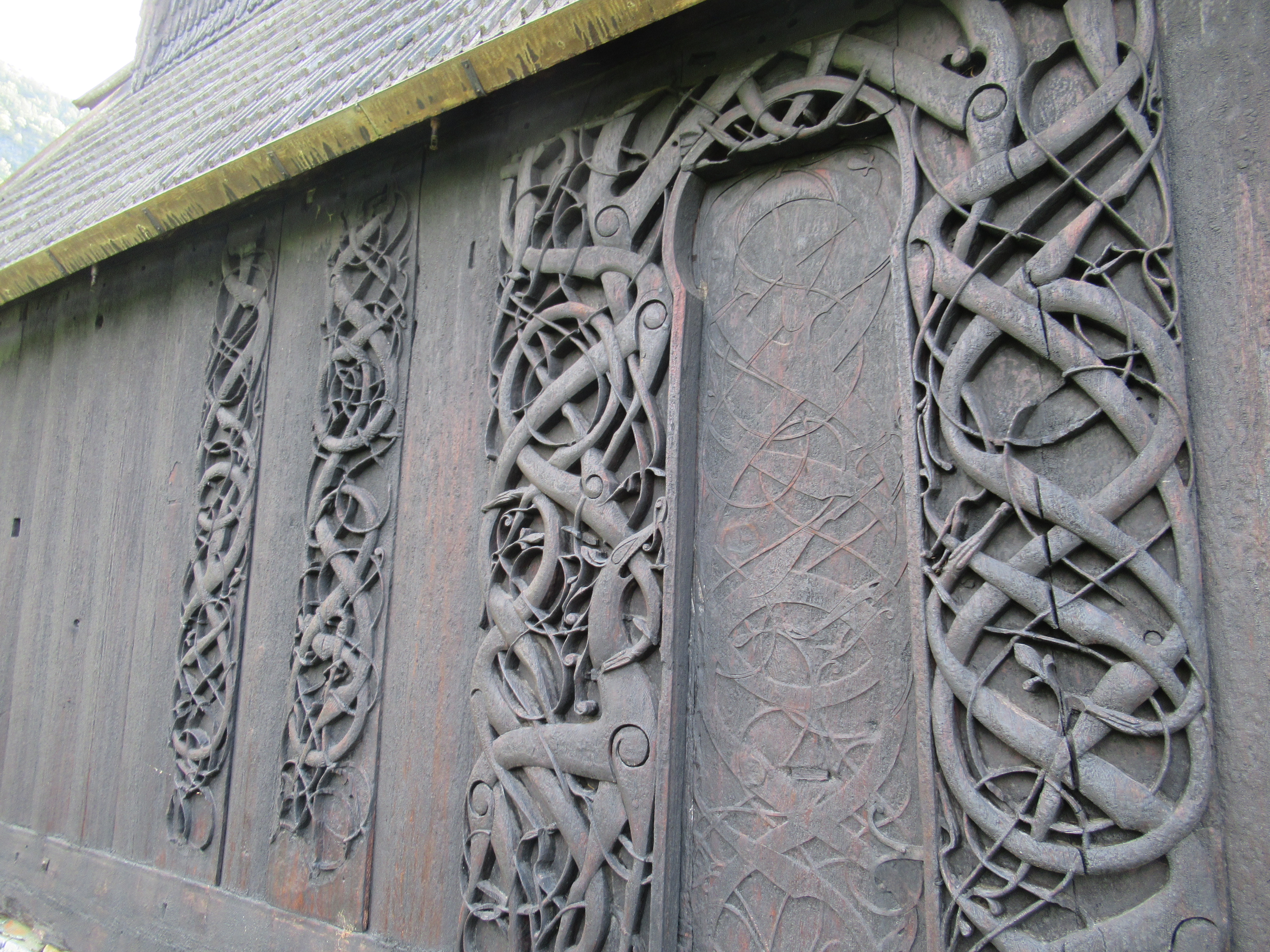
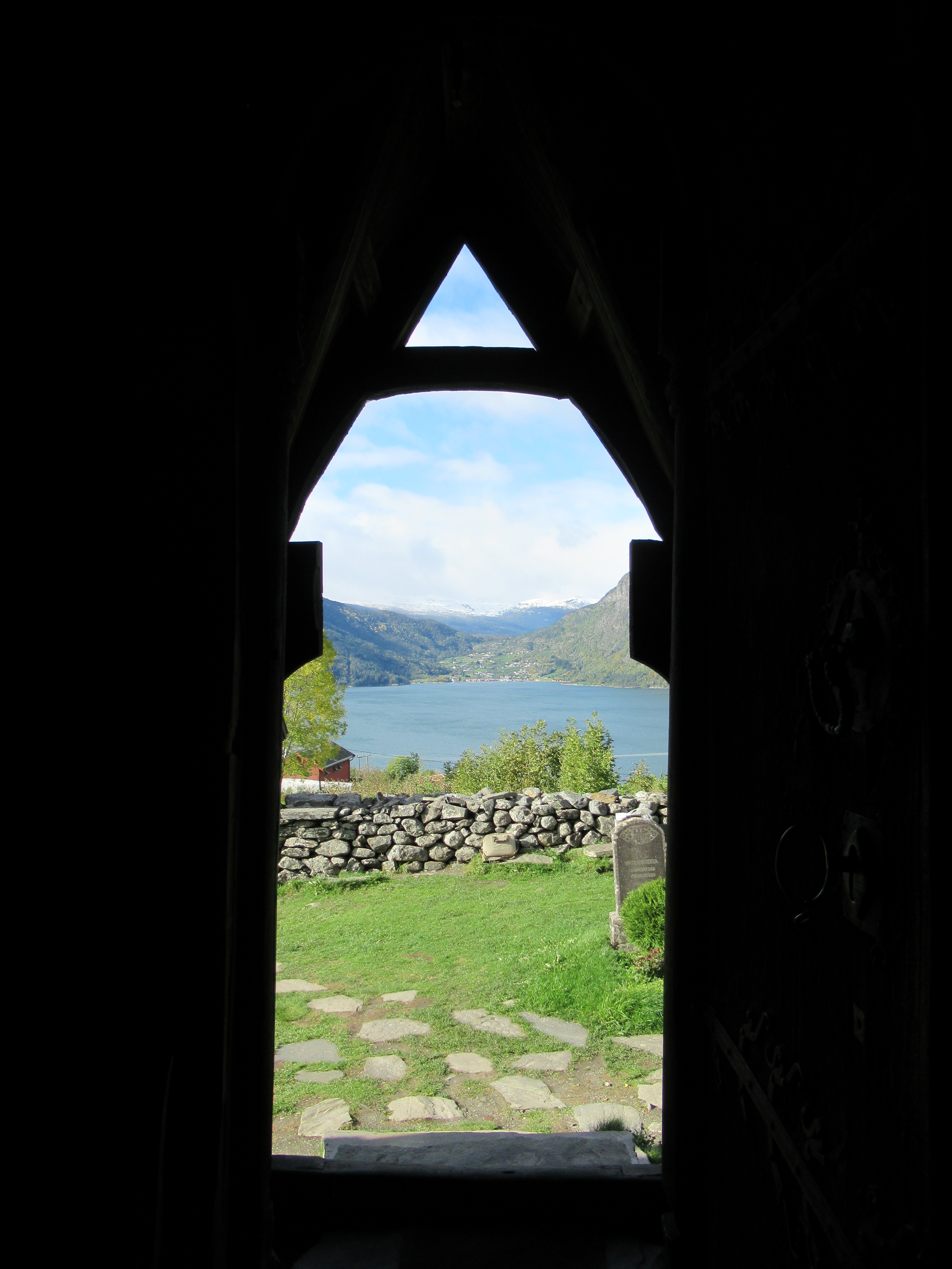
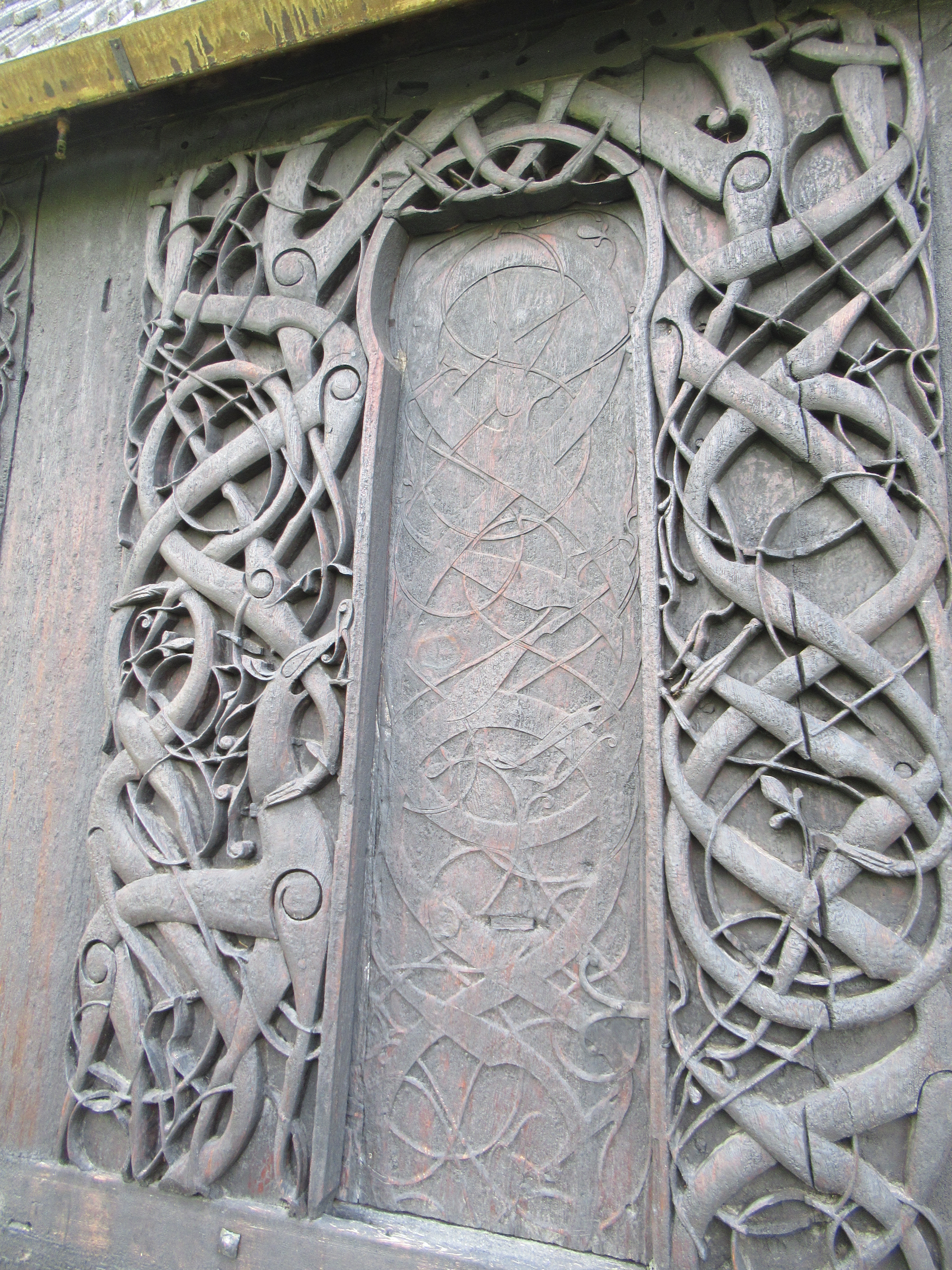 The carving above is the side door which is no longer used, but would most likely have originally been the main entrance. You can see a stylised lion in the carvings on the left. These carvings most likely come from the exterior of the earlier church and were reused in the current church. You can see the interior of the door below.
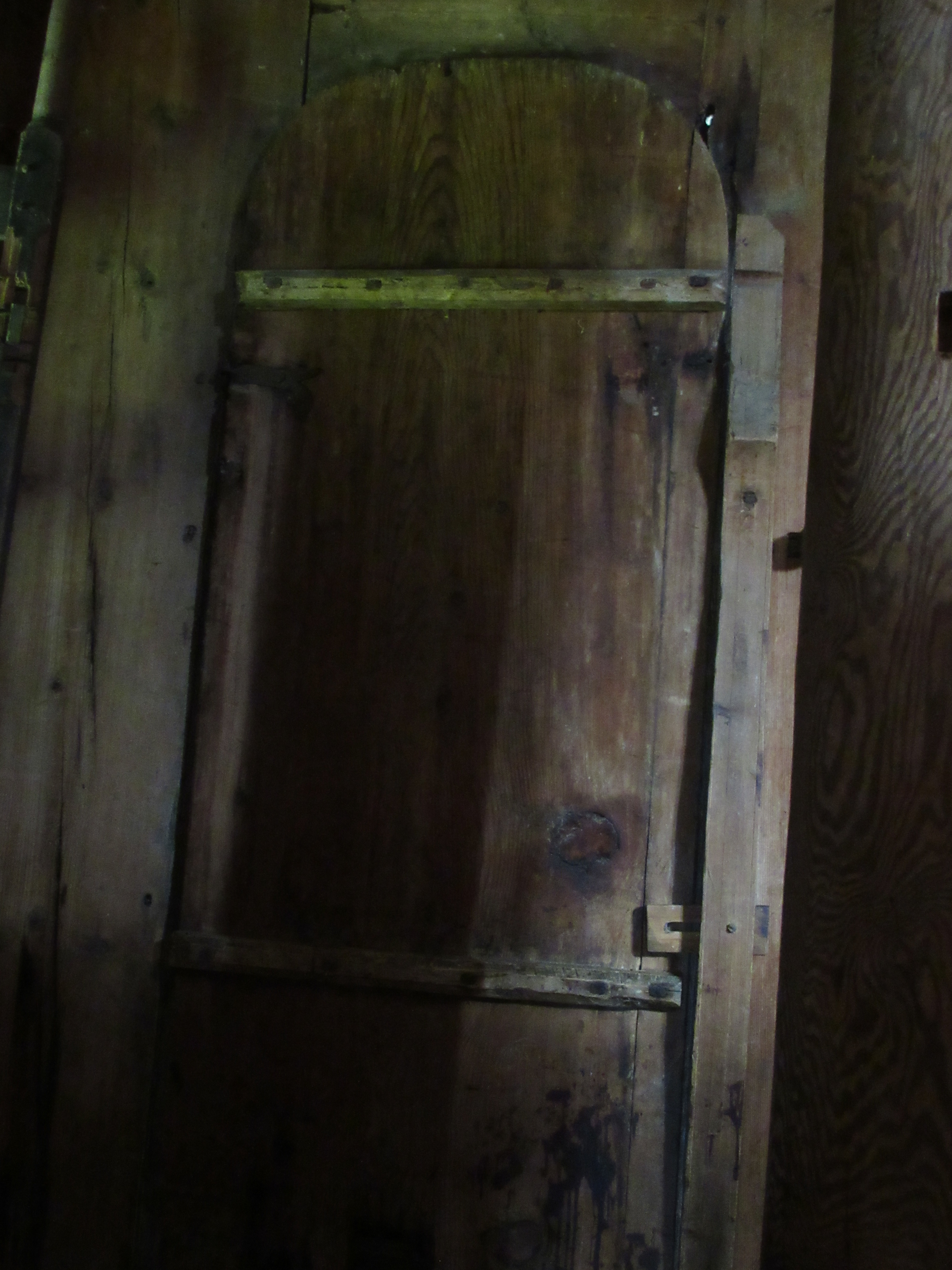


 Leaving aside the exterior of the church for the moment, the interior is just as if not more impressive.


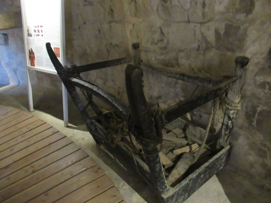
 Along with a medieval bishop’s chair
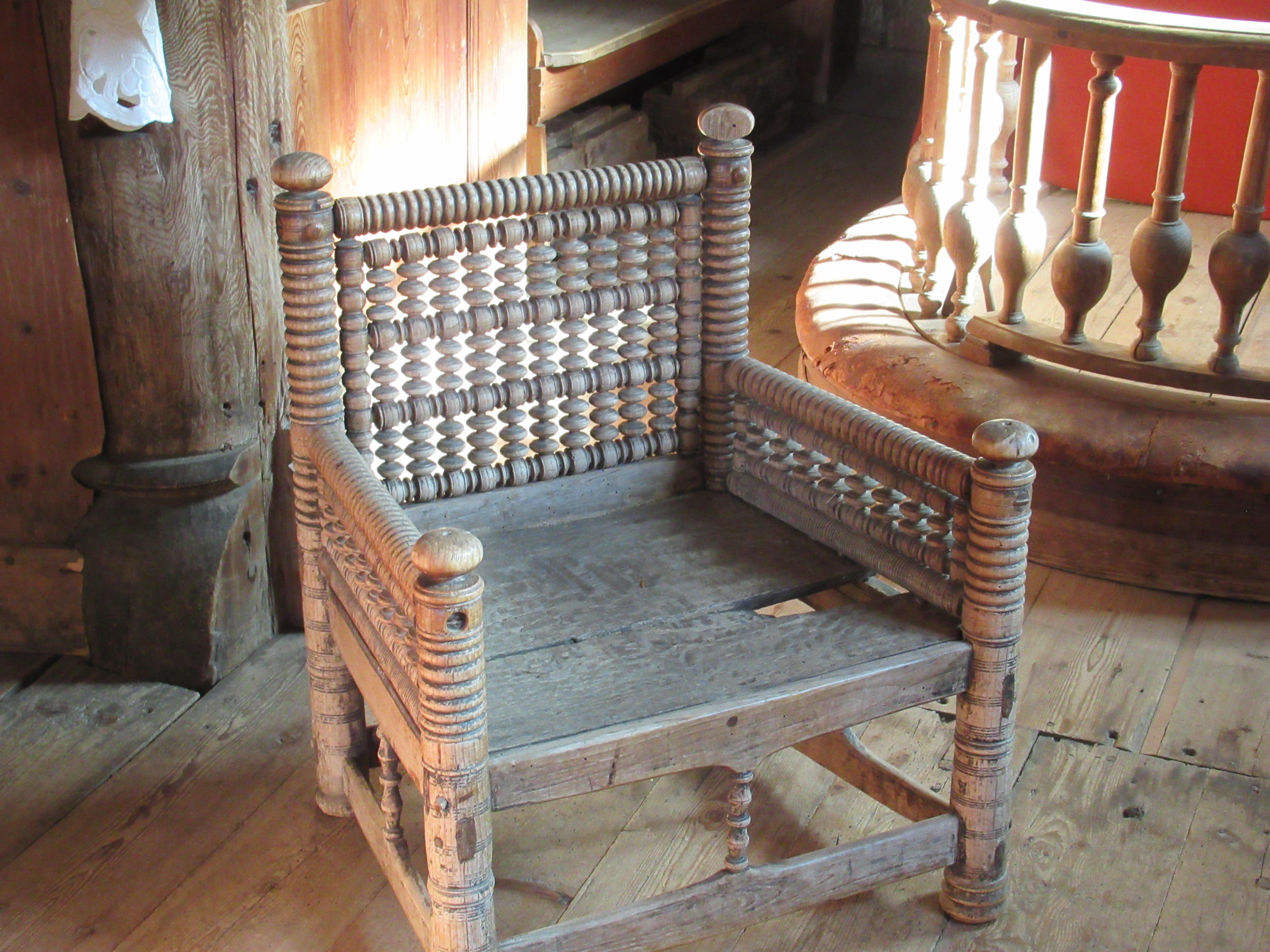
 and the chandelier which hangs from the ceiling
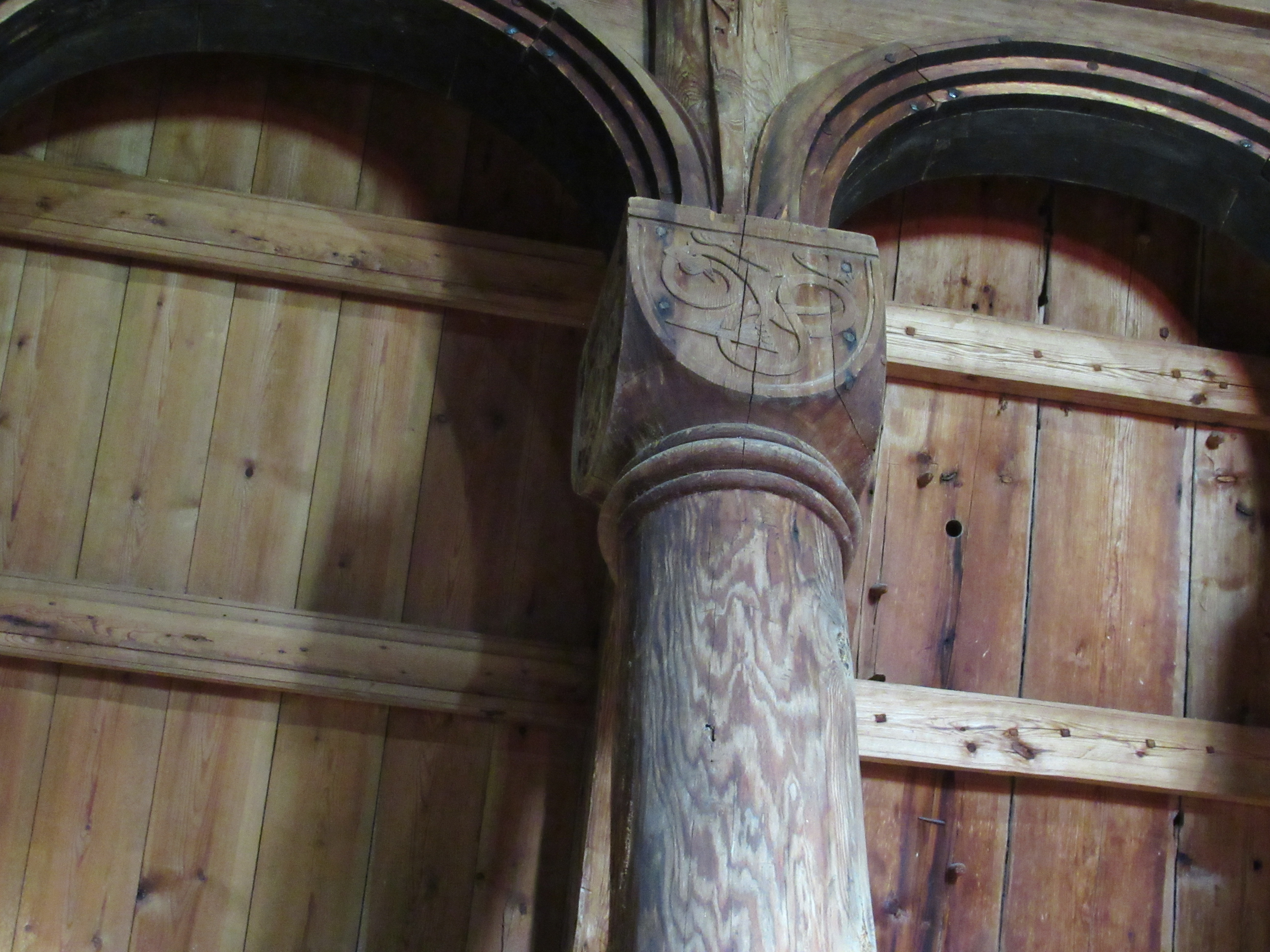
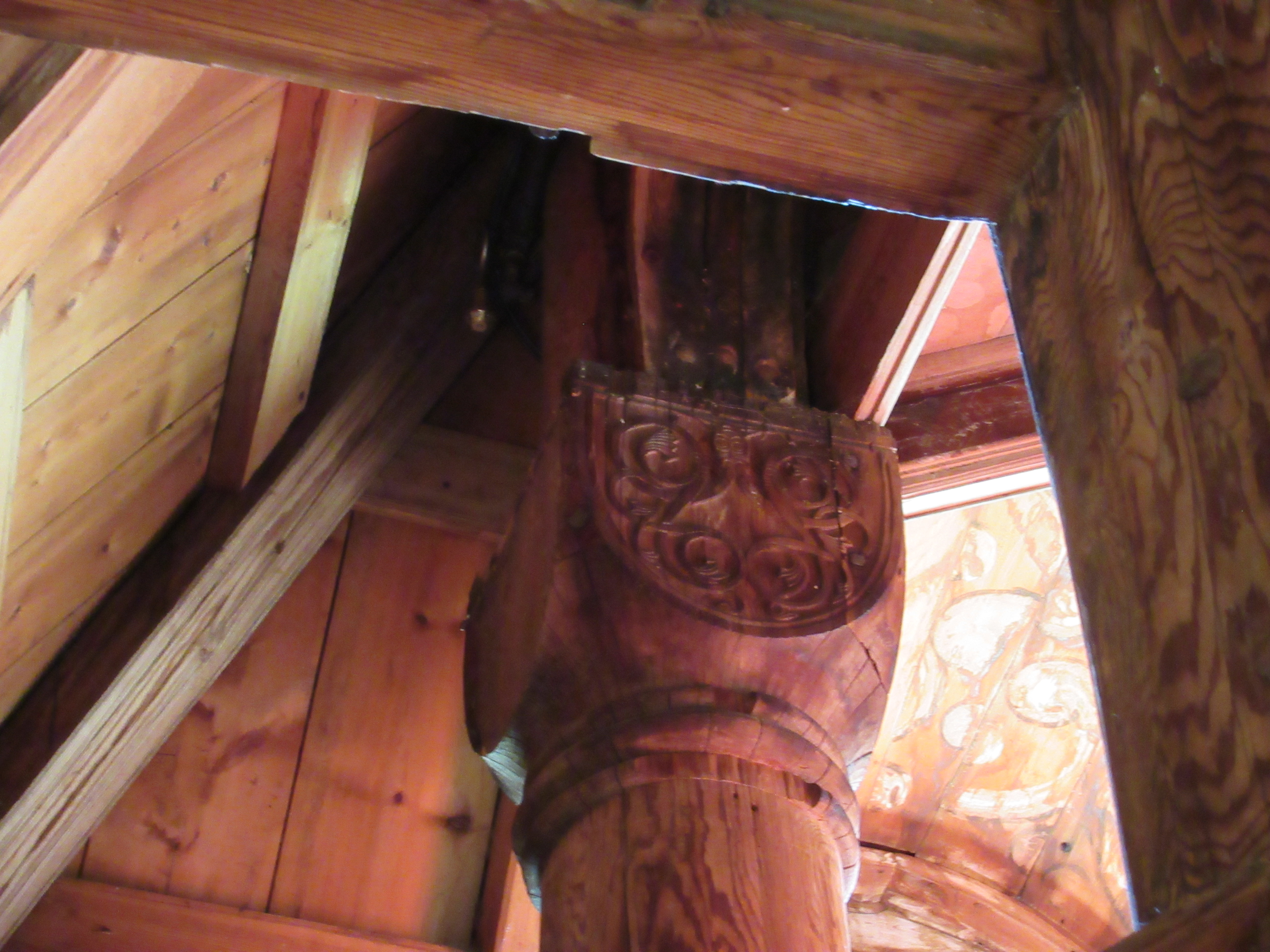
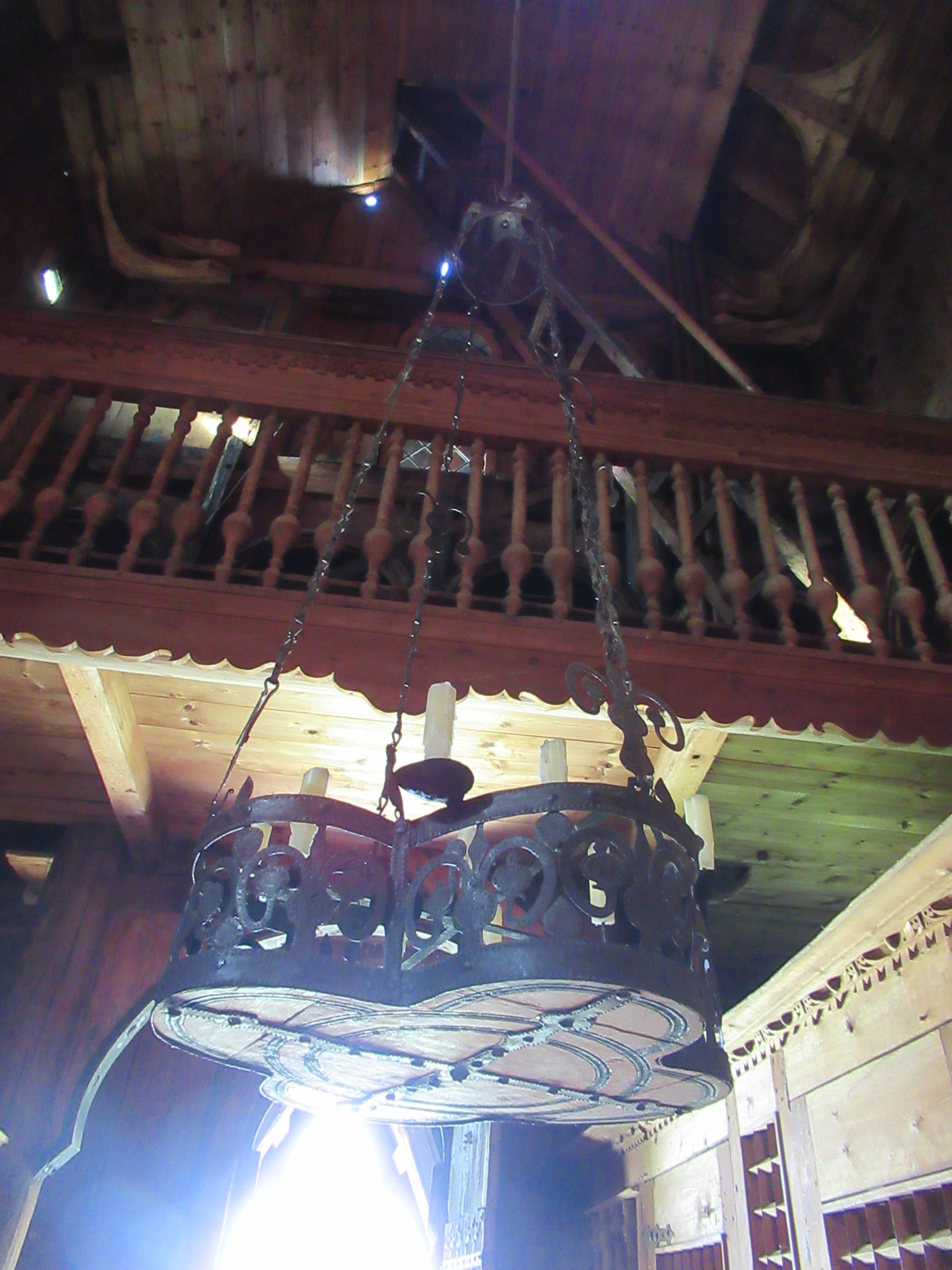 The gallery you can see part of above the chandelier, and above the chancel in the earlier photo, was added later and sadly involved cutting some of the original columns and capitals.
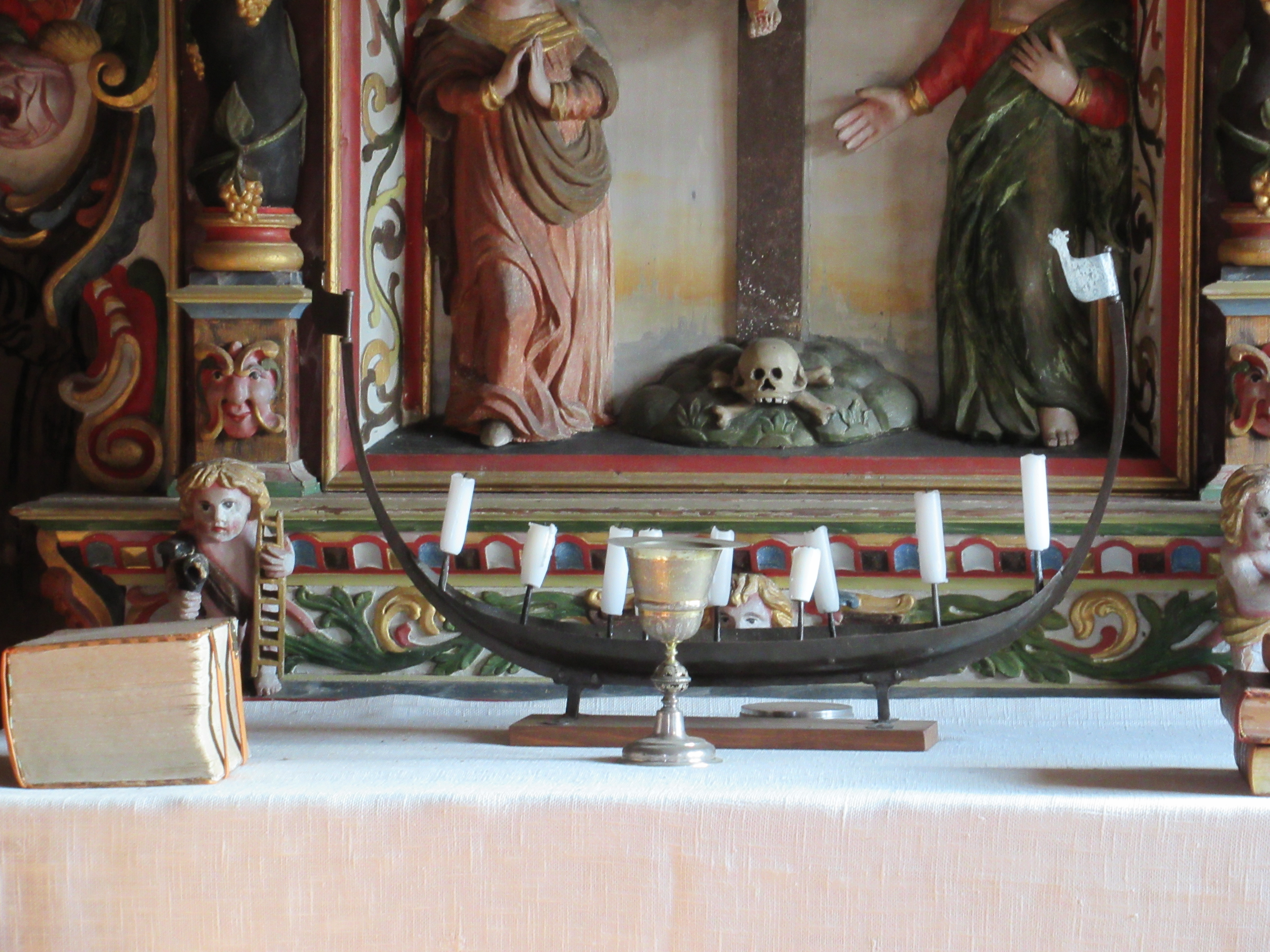
 The paintings and figures you can see on the walls are also 17th century.

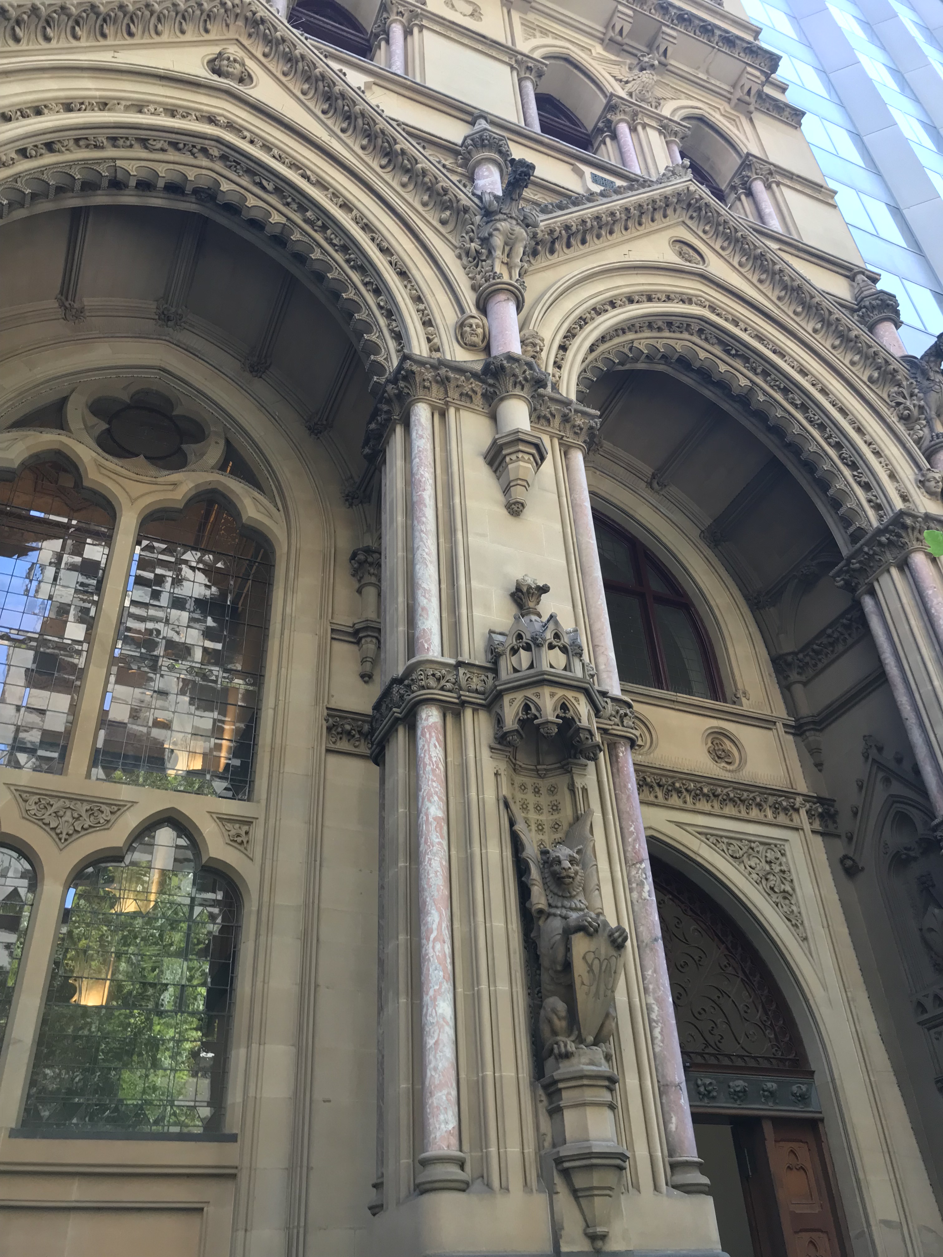
 And the gargoyles.
 All buildings should have at least one gargoyle.
 The columns and brackets are cast iron which were made in a foundry in Carlton. They were covered with canvas, fixed with white lead and cement and had five coats of oil paint. The ceiling was hand painted and gilded. In the centre of each panel are the shields and arms of England, Scotland and Australia as well as the arms of the bank and the arms of the main cities in which it operated.
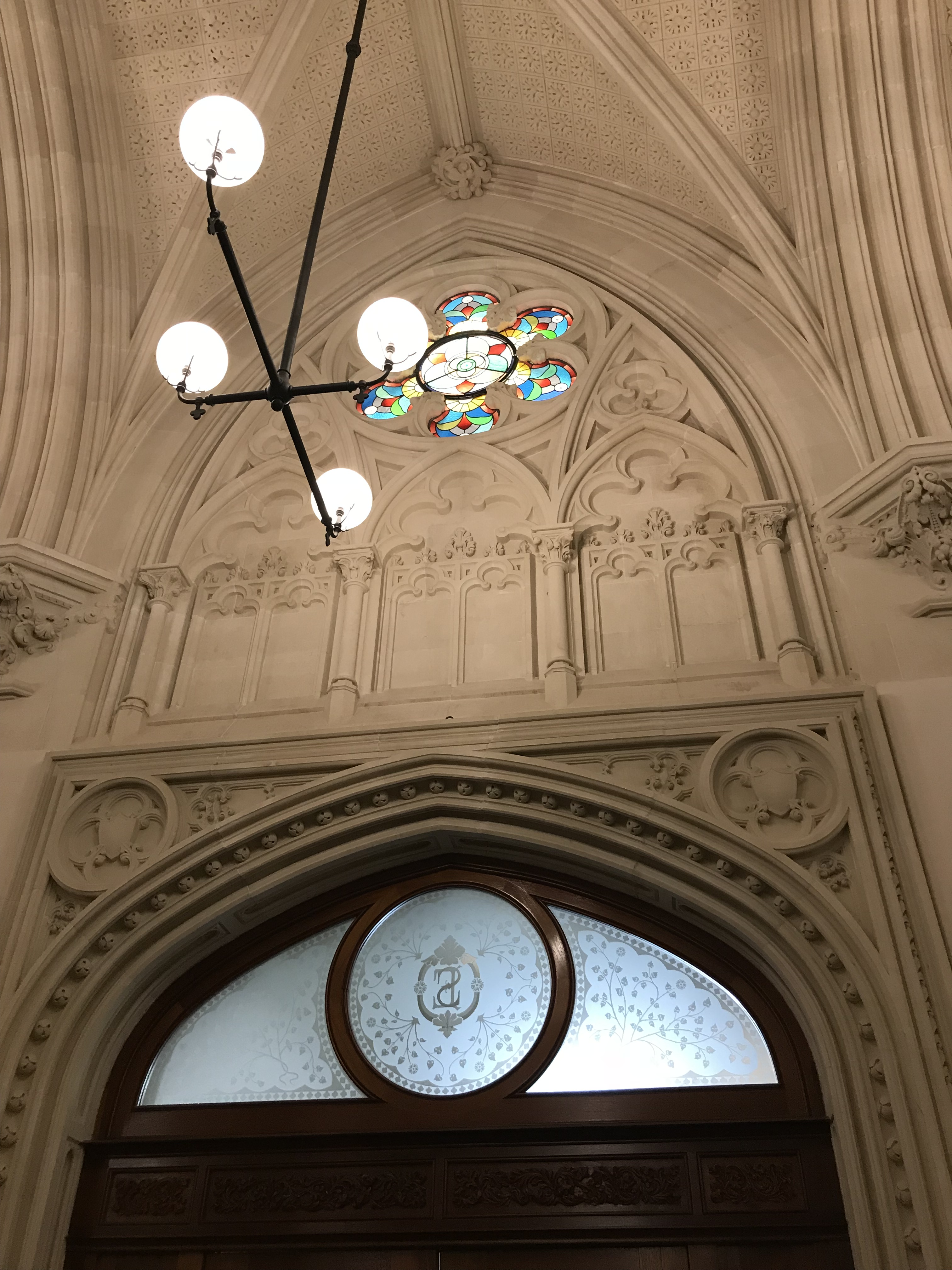
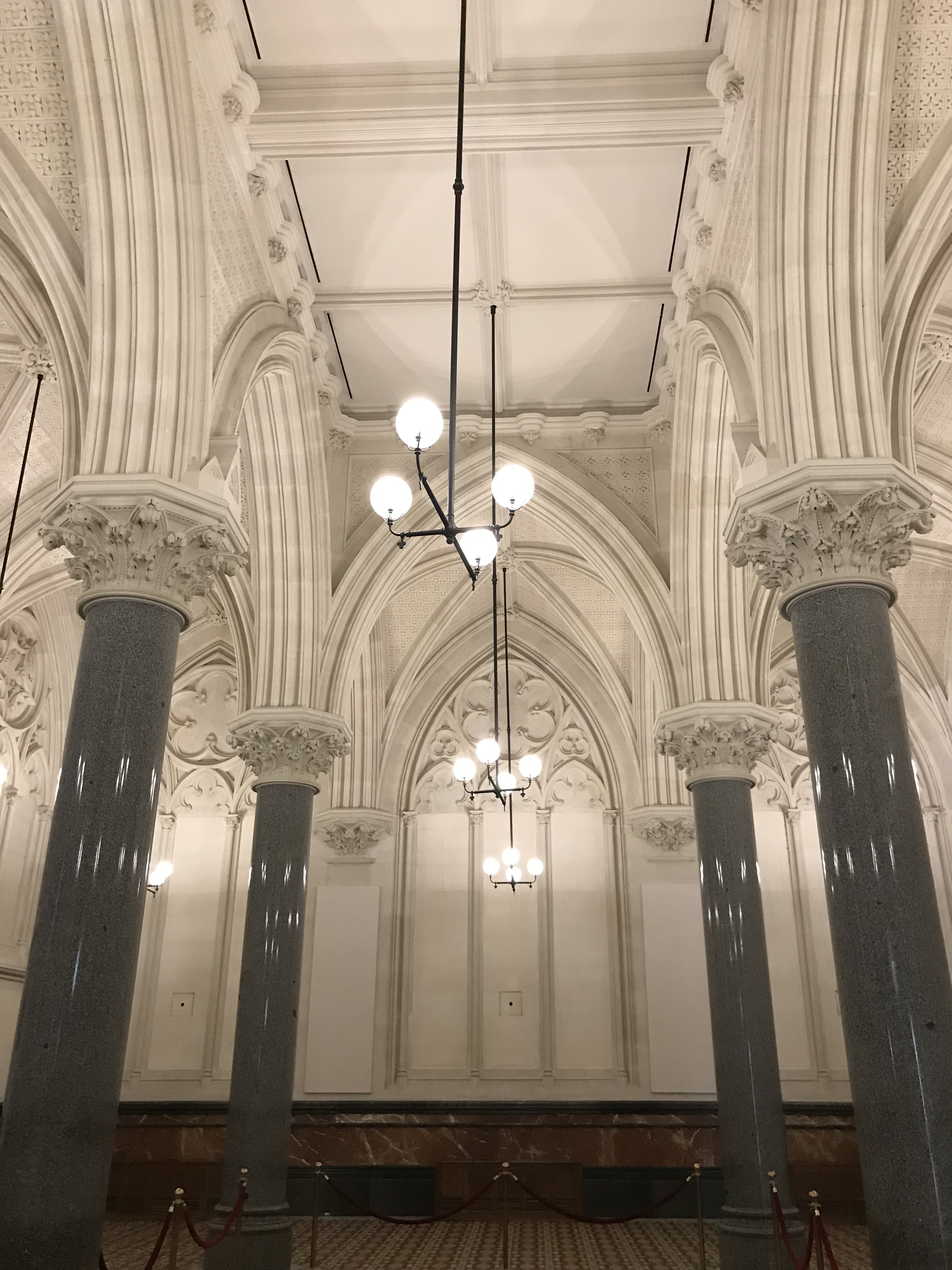 The details on the walls are truly impressive
 The beautiful tiled floor is not original but it was based on the original colours and patterns.
 There is also a magnificent stained glass window. Up the very top you can see a miner ‘panning off’ which is meant to represent the origins of the wealth of Victoria. The central figure is a woman representing ‘labour’. The window also depicts the coats of arms of both Britain and Australia and symbols of the four divisions of the globe.


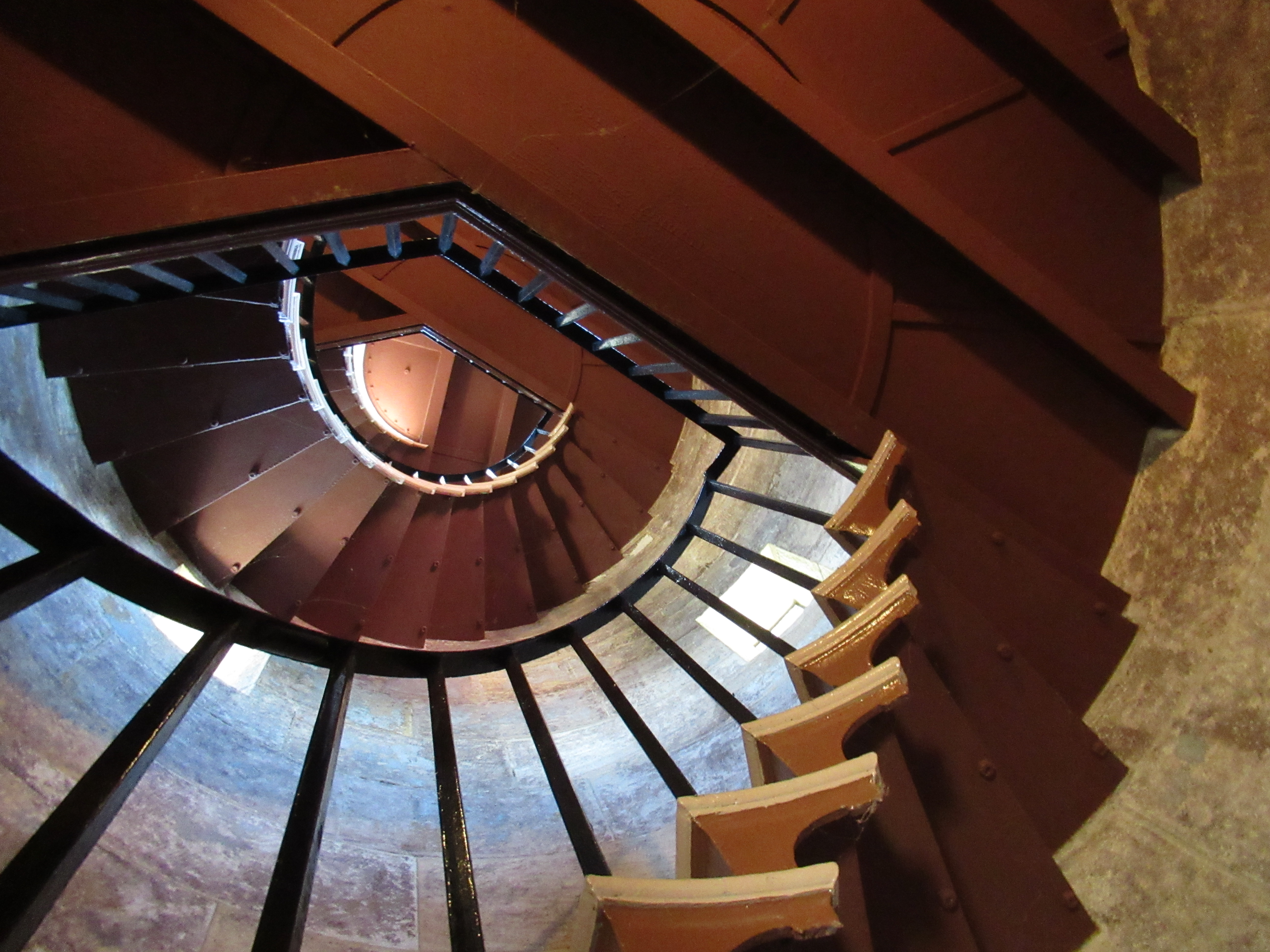
 Barrenjoey was not the first light station in this position. The first light station was only oil lamps on two wooden towers and stood between 1865 and 1881. The current structure was built by Isaac Banks with a team of Scottish labourers and designed by government architect James Barnet. Barnet was responsible for many buildings in Sydney and he deliberately designed the slightly curved rail around the top of the lighthouse for aesthetic reasons. The rails are original, and they produce quite a vertiginous effect when standing next to them.


 A lighthouse needs to be identifiable from sea and today Barrenjoey operates 4 flashes separated by a 2 second interval every 30 seconds.
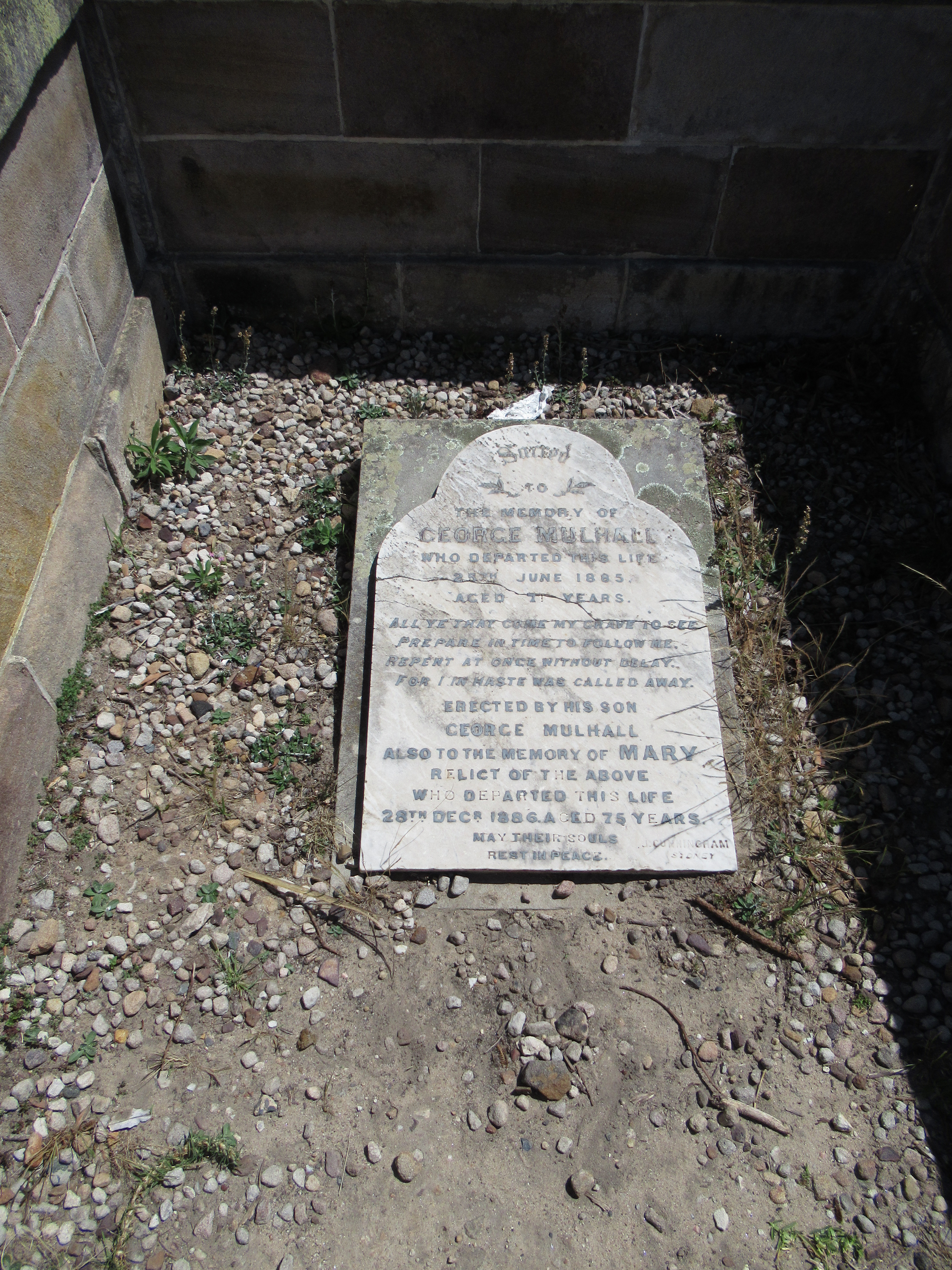 George Mulhall was born in c.1811 in Australia and both his parents were convicts from Ireland. George was appointed lighthouse keeper in 1868 and his son who was George Jr became assistant keeper. This was before the construction of the current lighthouse and the keepers lived off the Peninsula on what is now the third tee of the Palm Beach Golf Course. When the lighthouse began operating in 1881 George was the principal lighthouse keeper. There were stories that George died from being struck by a bolt of lightning and burnt to cinders, but his dead certificate describes him as having died from a stroke in 1885. His wife Mary who died in 1886 is buried with George. It is a truly beautiful spot to be buried.
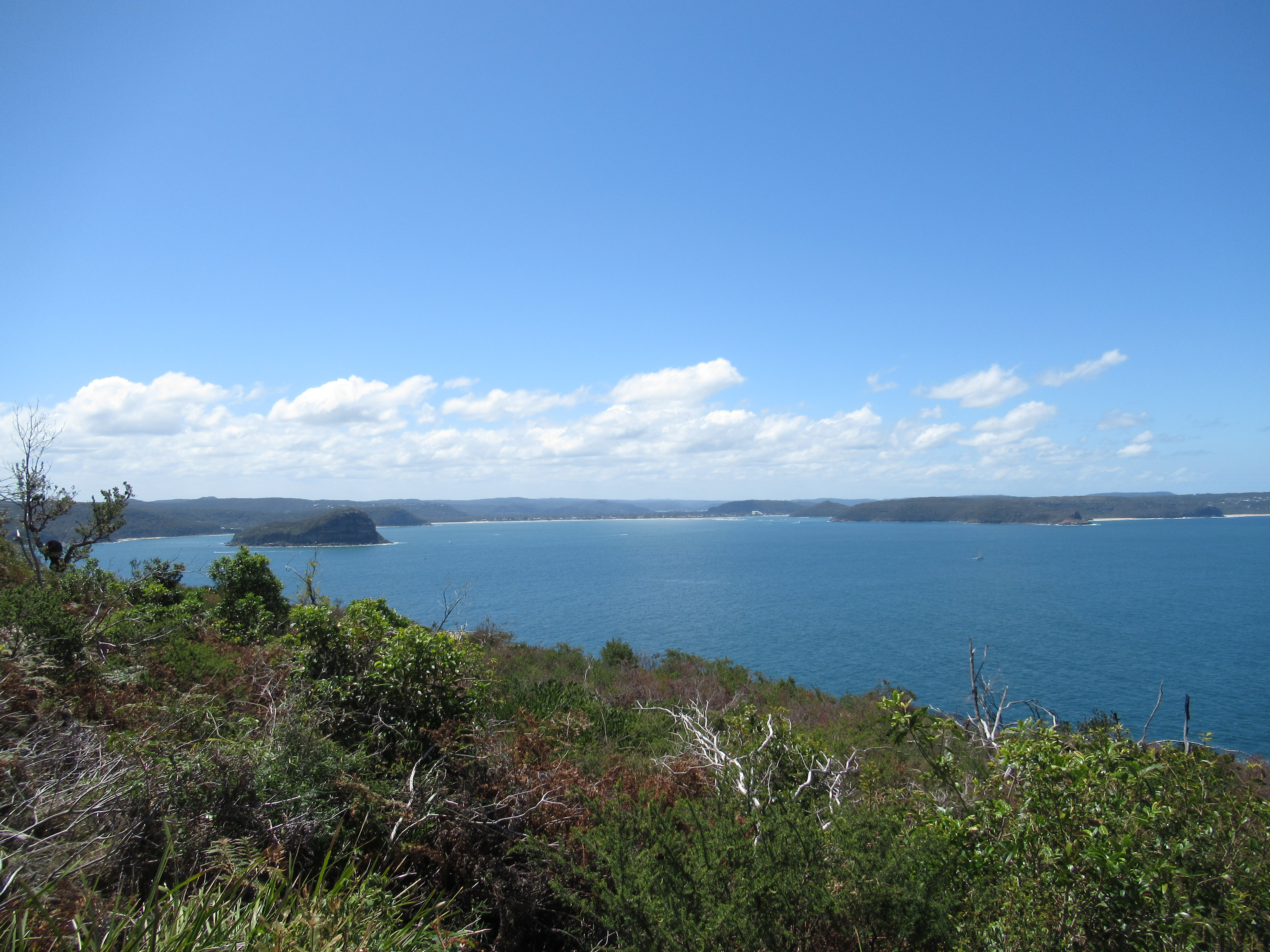


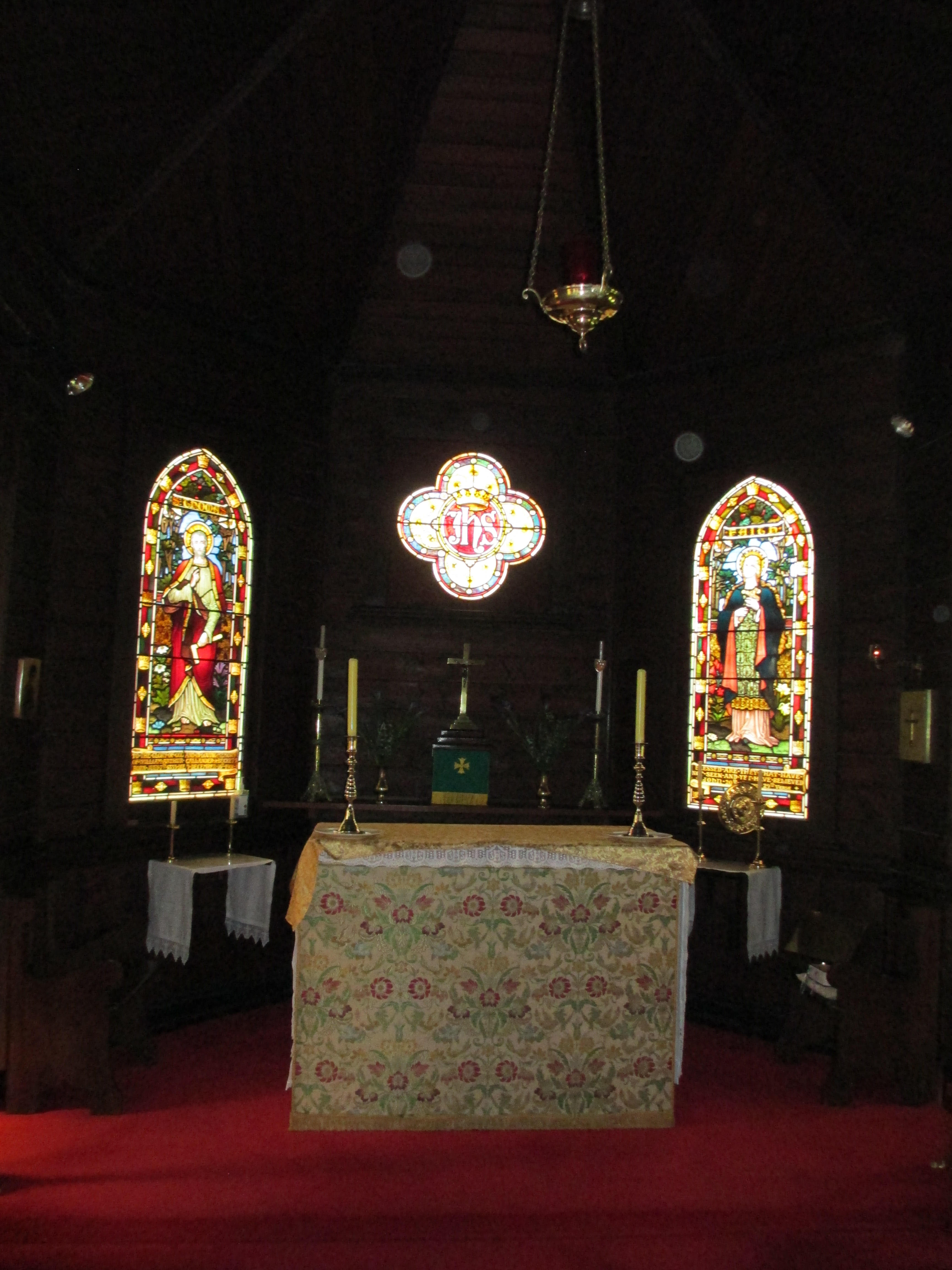
 The stain glass window dedicated to St Thomas also carried a dedication for the A’Beckett family on its base
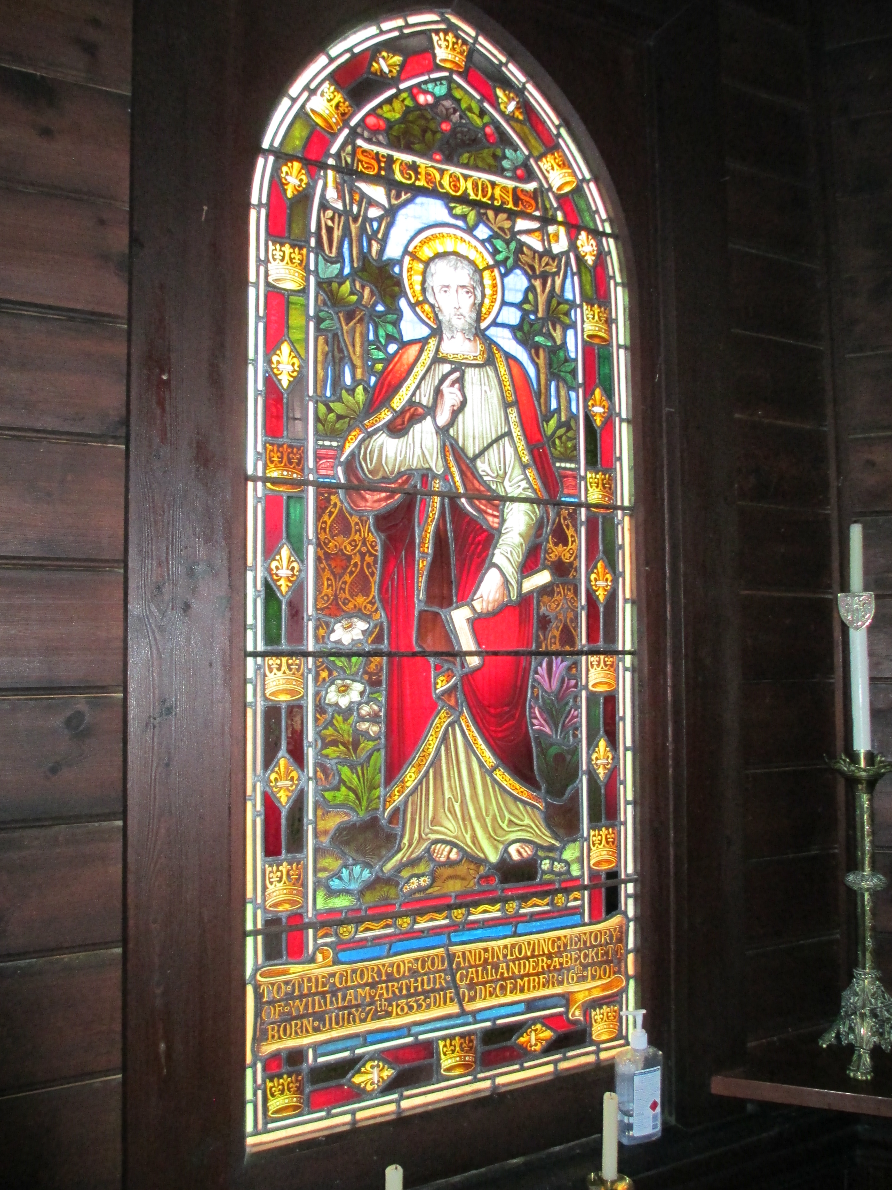 The A’Becketts were a prominent district family and the font is also dedicated to one of their number.
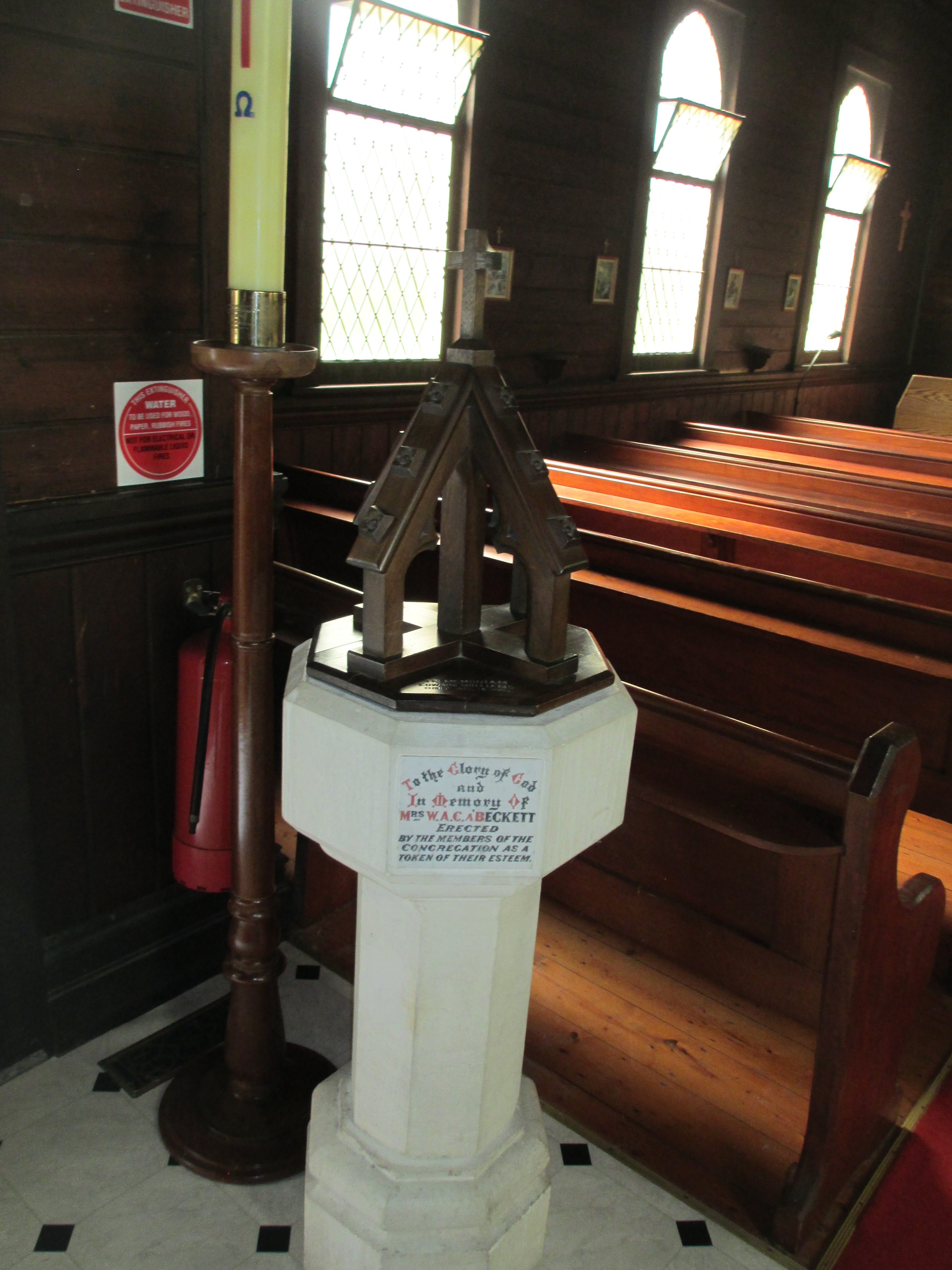


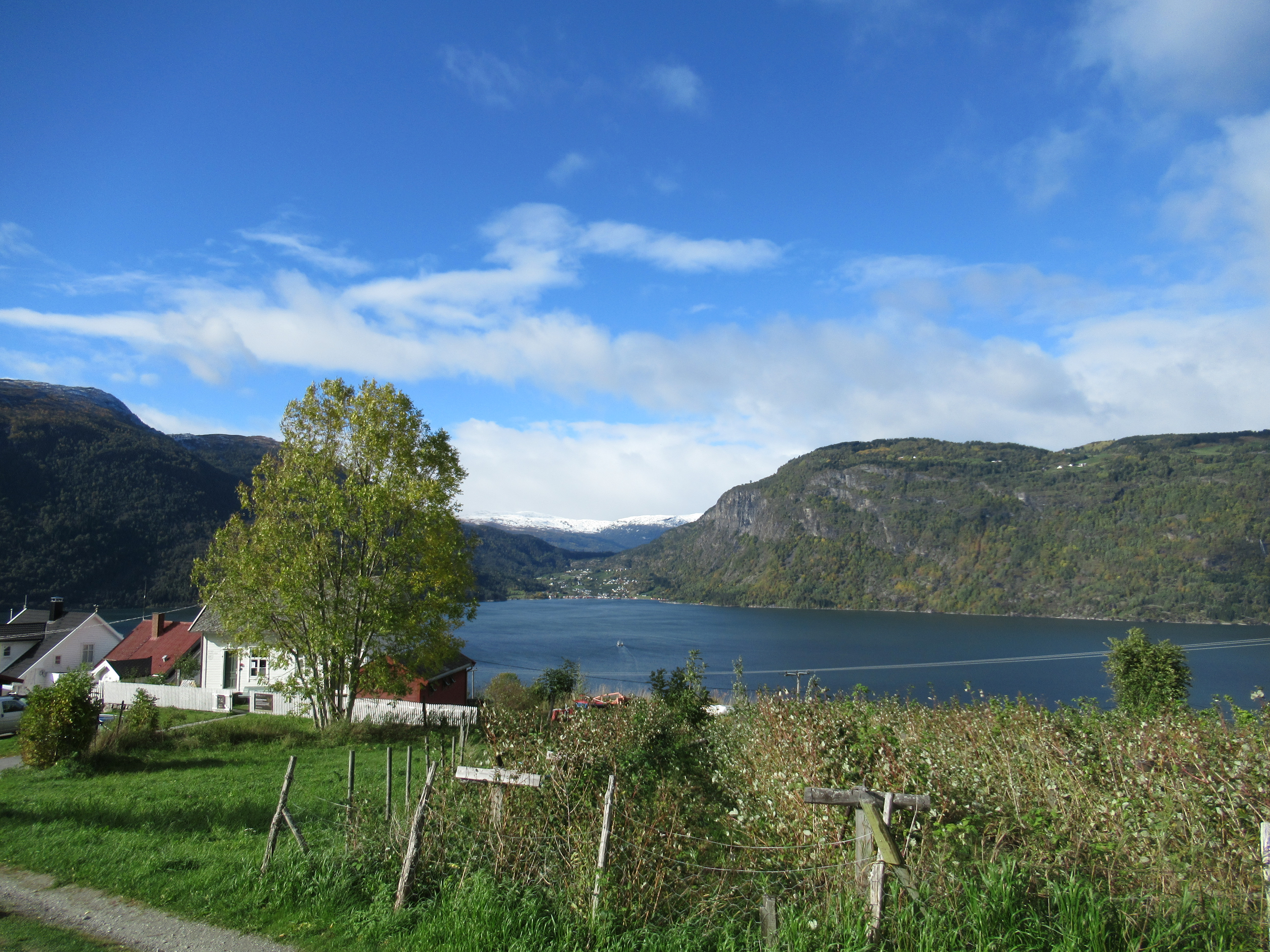
 Port Fairy’s Griffiths Island is now connected to the mainland by a causeway,
 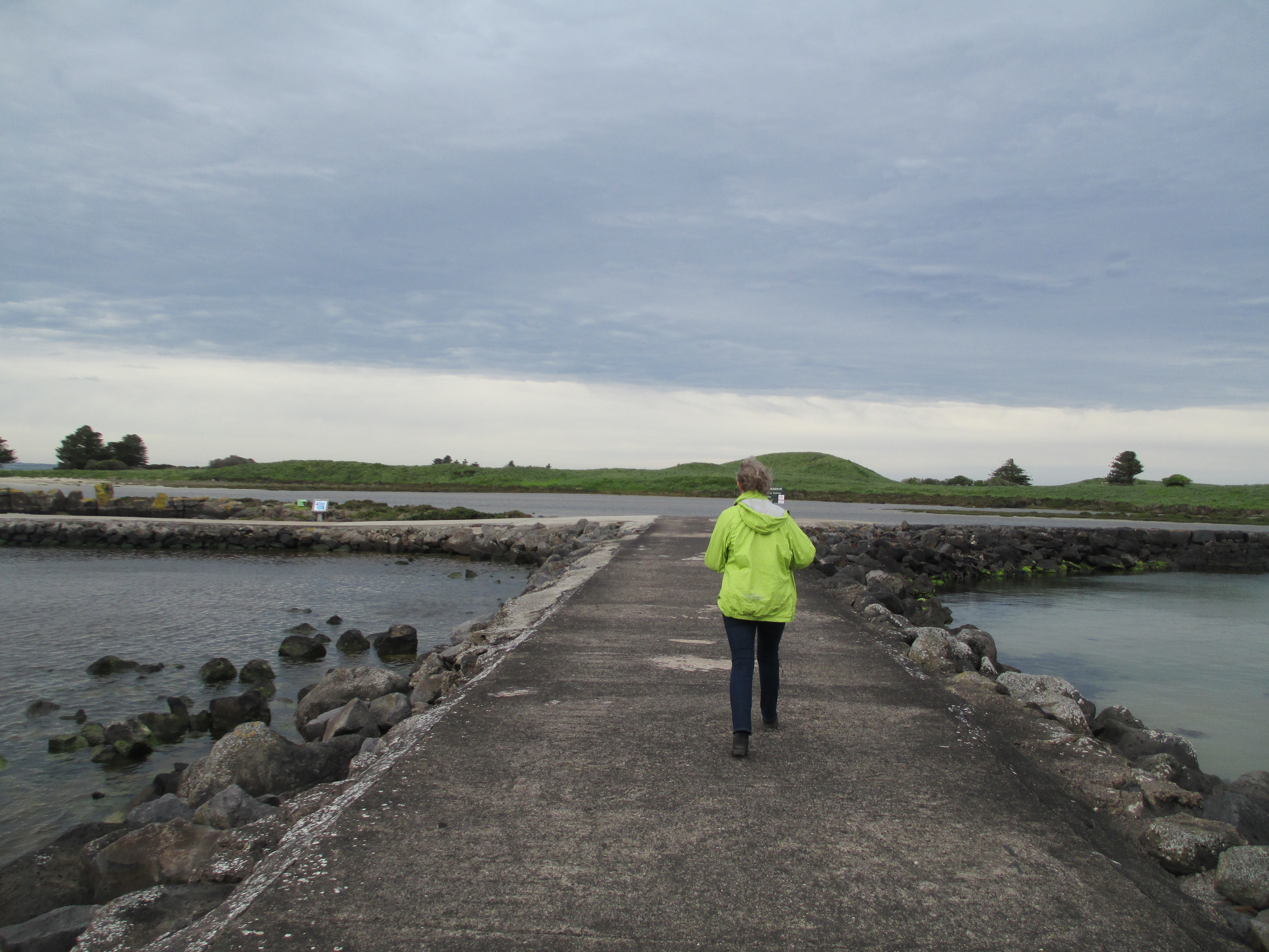 But in the 1800s the island was only accessible by boat and it was often dangerously rough so was cut off completely from the mainland. It was extremely isolated. The island was originally 3 islands, Rabbit (on which the light house stands), Goat and Griffiths. They have joined together as one island, partly from coastal erosion and partly from the construction that surround the islands. They serve to protect the entrance to Port Fairy. Rabbit island would have been extremely remote in the 1800s.


